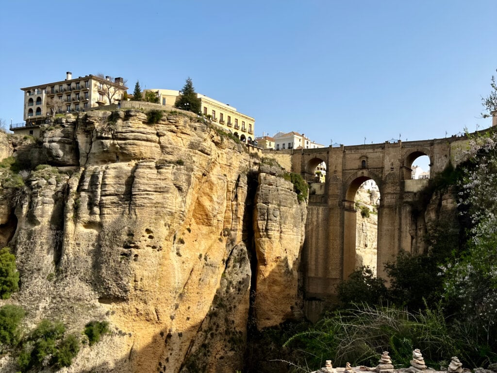
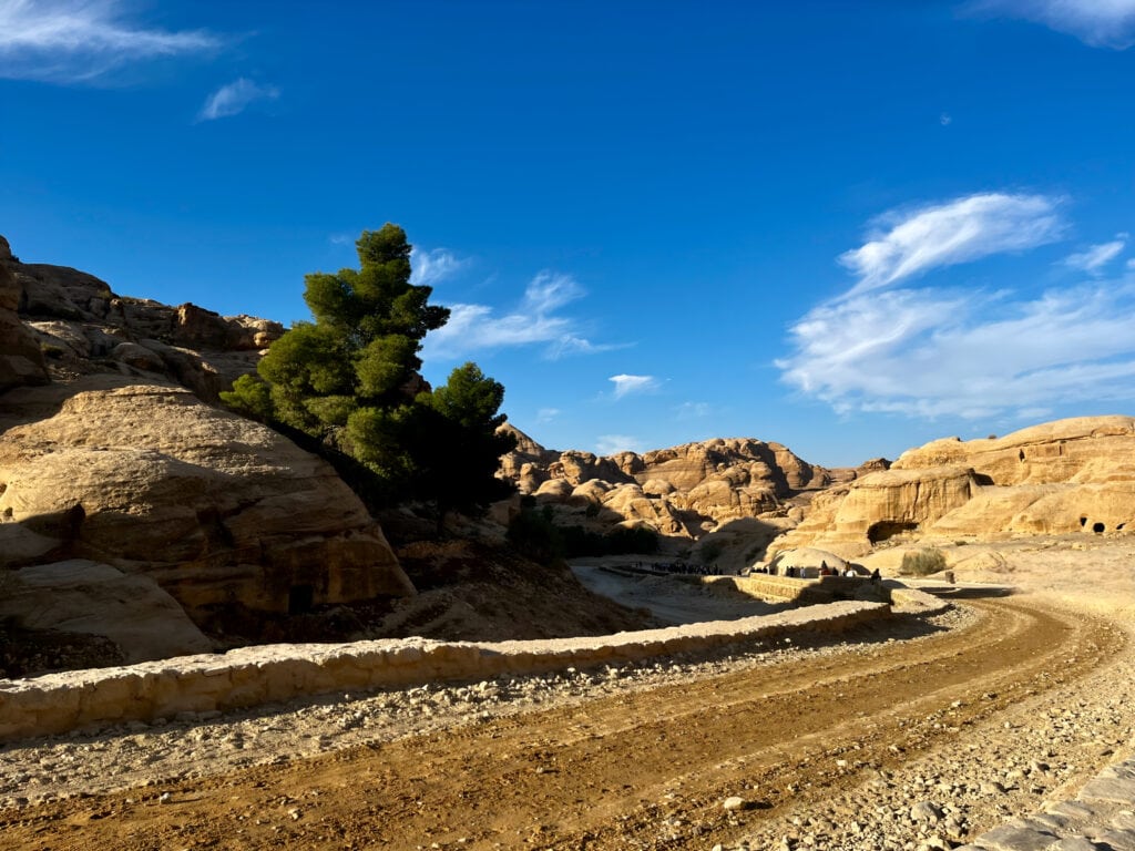
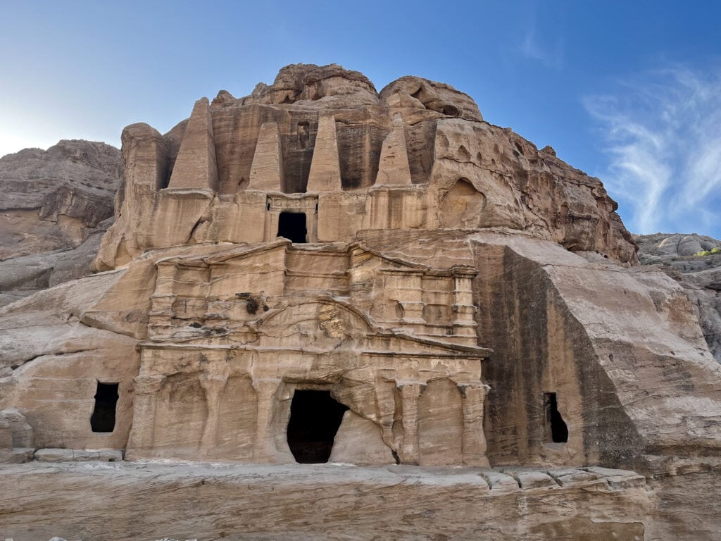
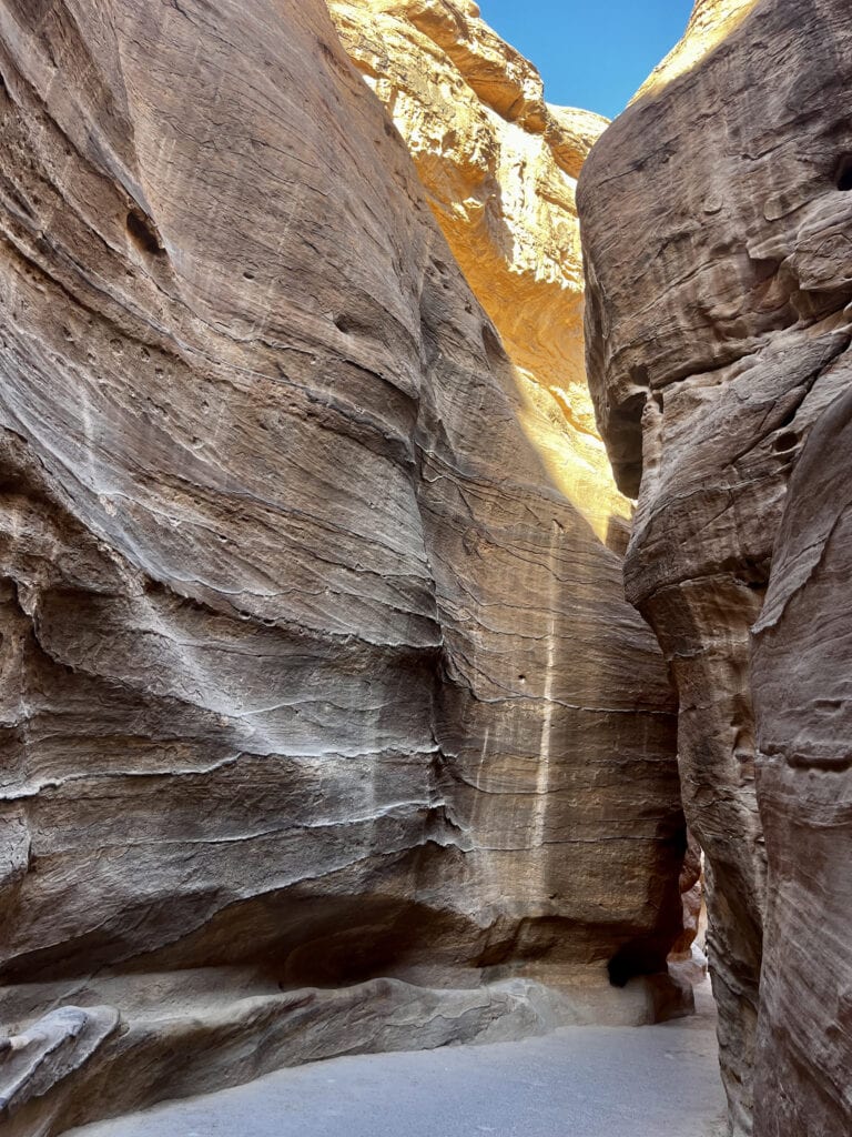
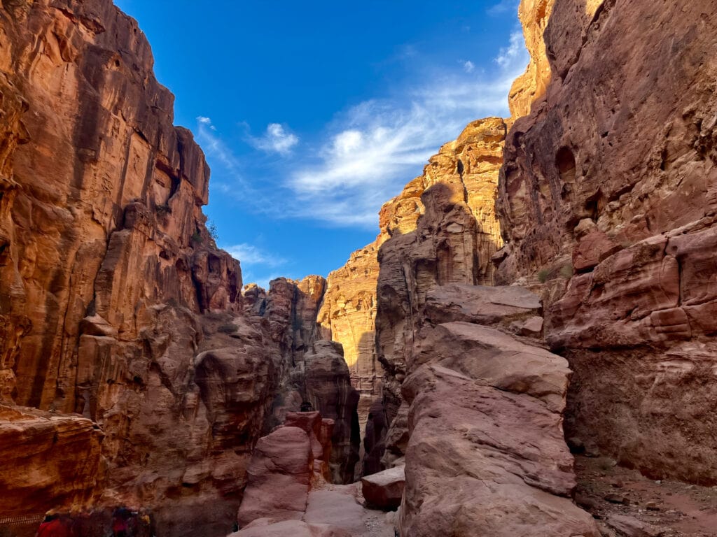
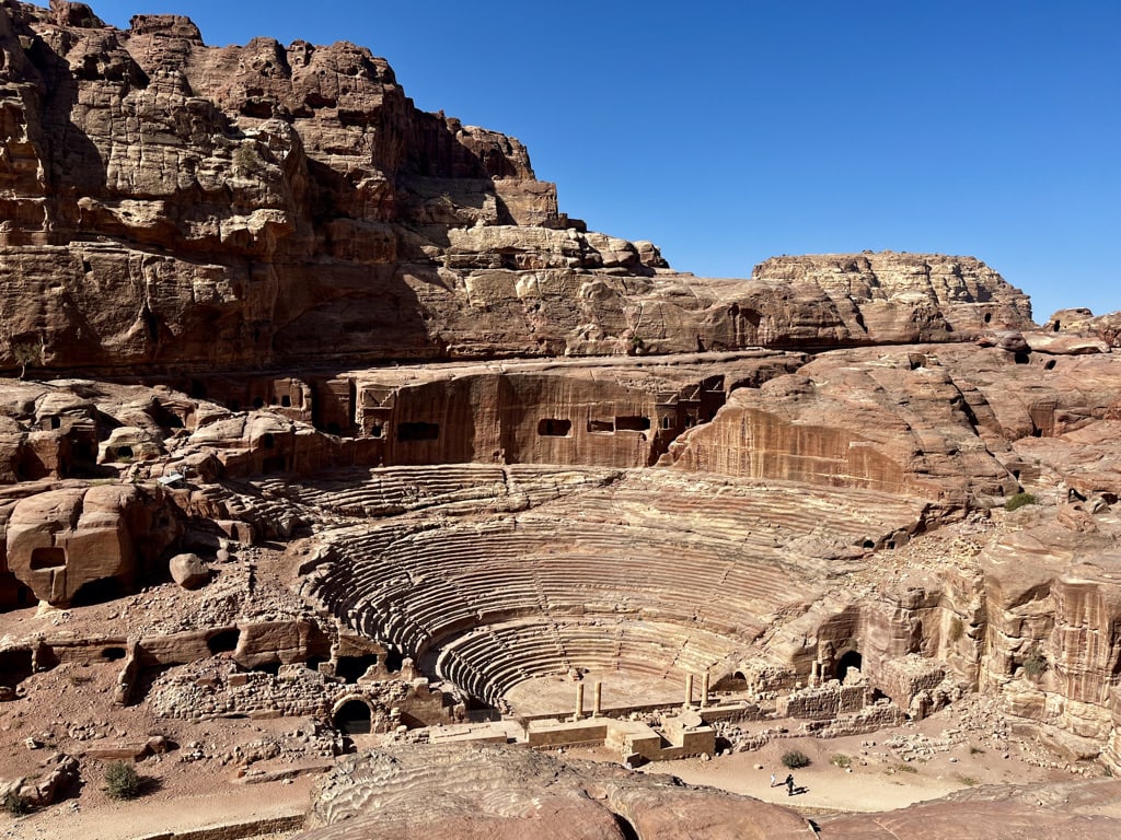
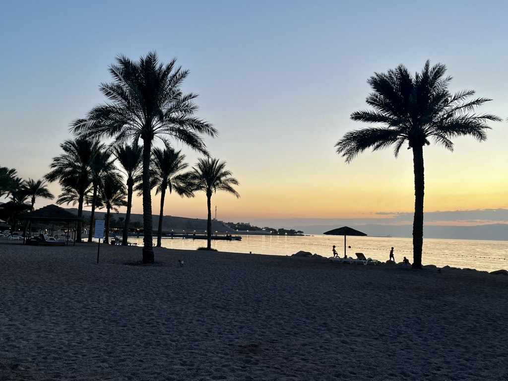
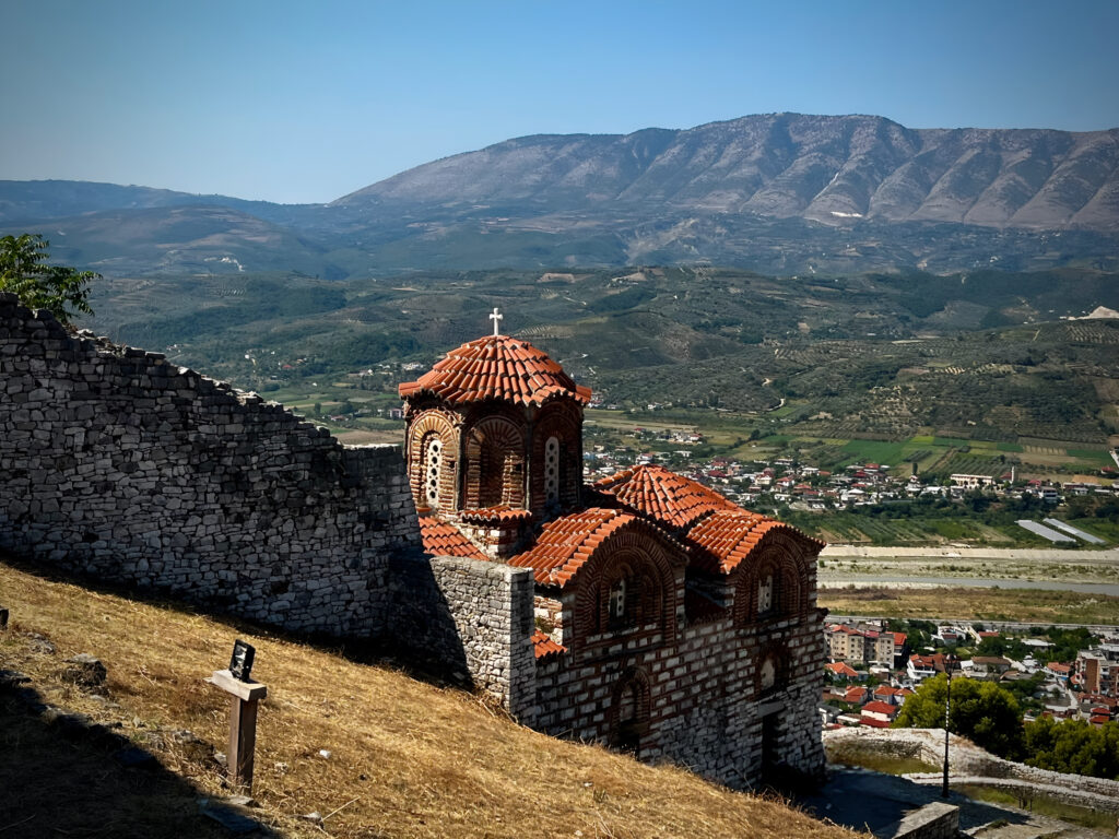
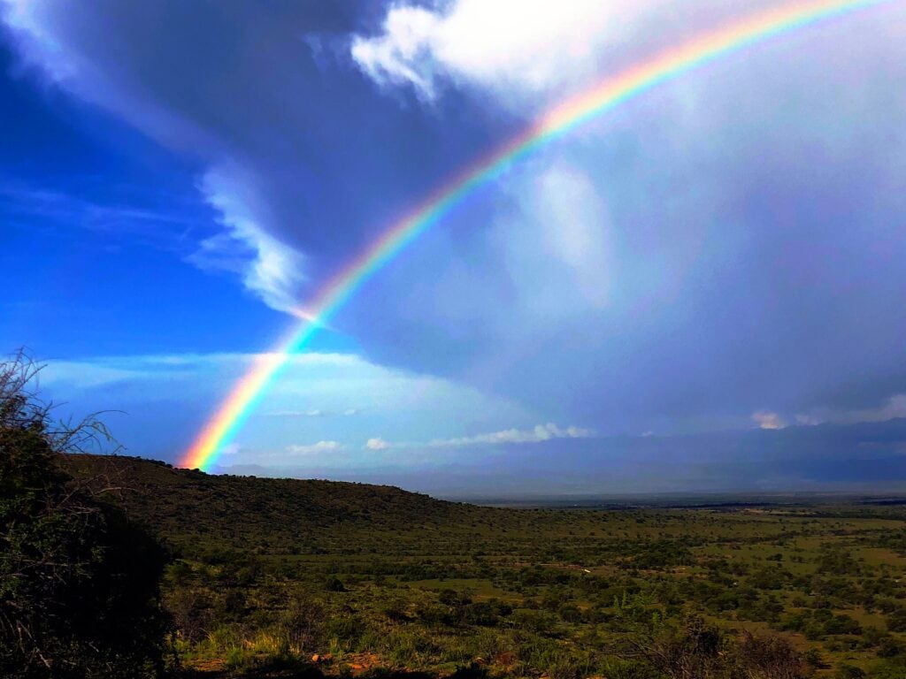
Unexplored Eastern Cape: Adventure Road Trip in South Africa 🇿🇦
In 1999, I landed in South Africa for the first time, unaware that it would eventually become my second home. Over the years, I’ve spent a significant amount of time in the country, and whenever I discuss it with others, Cape Town often takes center stage. When it gets to South Africa, many tourists follow the well-known path to Kruger Park or drive down the Garden Route from Port Elizabeth (now named Gqeberha) to Cape Town.
How about exploring something different? Let me introduce you to some of the most amazing places in the Eastern Cape and provide you with ideas for adventure road trip.
South Africa is a vast and multicultural country, covering approximately 1.2 million square kilometers. To put it into perspective, it’s about a third of the size of Europe excluding Russia. With a population of around 60 million, South Africa has 11 official languages, with Zulu (23%), Xhosa (16%), Afrikaans (14%), and English (10%) being the most spoken. English is the official institutional language. Notably, South Africa is the only country with three capital cities: Pretoria (administrative and executive), Cape Town (legislative), and Bloemfontein (judicial).
Table of Contents
Practical Insights:
South Africa is a welcoming country with friendly people. Landing in Johannesburg or Cape Town feels like entering a different world, where even a restroom attendant greets you warmly.
Getting there: It is easy, with major airlines operating flights to international airports in Johannesburg and Cape Town.
One important note: Always collect your luggage upon arrival in Johannesburg or Cape Town, even if you have a connecting flight. In most cases, airlines will tag your bags to the final destination within the country. This can be confusing, so do not make the mistake of leaving the International terminal without your luggage. After collecting your bags, proceed to the Domestic terminal to check them in again if you have a connecting domestic flight.
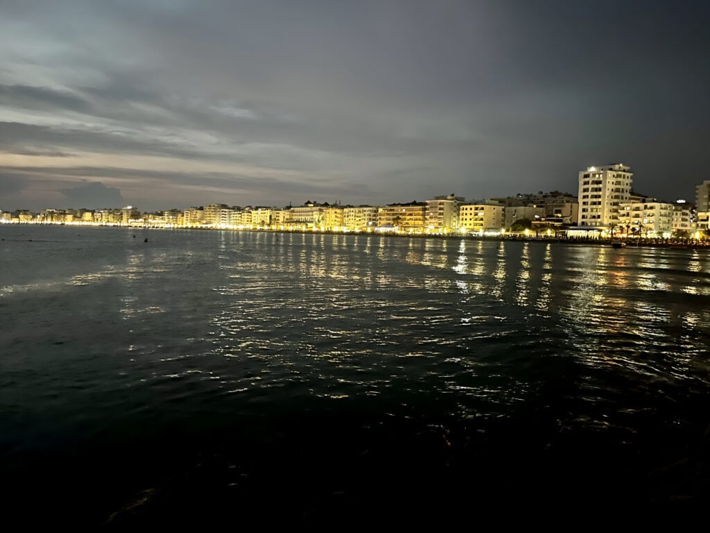
The best way to explore the Eastern Cape is to fly to Gqeberha (Port Elizabeth). Domestic flights from Johannesburg and Cape Town are frequently operated by local airlines such as FlySafair or FlyAirlink.
Mobile data: For mobile data, I recommend using the Airalo app, which allows you to download a data e-SIM card for countries worldwide. It’s easy and hassle-free. I activate the data e-SIM in my phone settings upon arrival and I have instant access to the internet.
Currency: The official currency is the South African Rand (1 USD = 18,5 Rand), and
ATMs are widely available. While cards are accepted everywhere, having a few Rands in cash can be beneficial.
Driving and Petrol stations: In South Africa, they drive on the left-hand side of the road, similar to the UK. The main roads between cities are generally in good condition, although it’s advisable to watch for potholes. Once you get off the main road, expect to drive on dirt or gravel roads.
Petrol stations can be found in all cities, but it is advisable to check the distances between cities due to the country’s vast size. Gas station attendants are available and offer services such as filling up your tank, cleaning your windows, and checking oil and windshield wiper fluid. You do not need to step out of your car for these services.
Load shedding (power outages): It is a common occurrence in the country due to a lack of power generation capacity, with nationwide rotational outages at various stages persisting for many years. The Eskom Load Shedding app is downloadable from the Apple App Store or Google Play. It provides information on when electricity will be switched off during the day in the city or area you are in. The stages of load shedding can vary and change rapidly, so it is advisable to keep app notifications on while in South Africa.
Despite load shedding, the majority of hotels, restaurants, shops, etc., continue to operate by using their own power generators or, more recently, solar panels. The solar business has experienced significant growth in South Africa.
Crime: Is a reality in South Africa, and it’s essential to be aware of it. Having spent the last 25 years in the country without encountering any issues, I can offer some important advice. Generally, try to blend in and look like a local rather than a tourist. Avoid wearing visibly expensive jewelry, and handbags, or carrying expensive cameras.
Refrain from engaging with strangers who may approach you asking for money. Never leave your belongings visible in the car, and always lock your doors when driving.
When driving through the countryside, resist the urge to stop and give sweets to children who may wave at you near the roads. It’s crucial not to wander outside after dark; a romantic walk on the beach in the moonlight is not advisable. Taking these precautions will contribute to a safer and more enjoyable experience in South Africa.
Map of places to explore
Places I have selected to explore are pointed on the map. Many of them are accessible only via a dirt road or require off-road travel with a 4×4 vehicle (e.g.Toyota Landcruiser). I am making a note with each place.
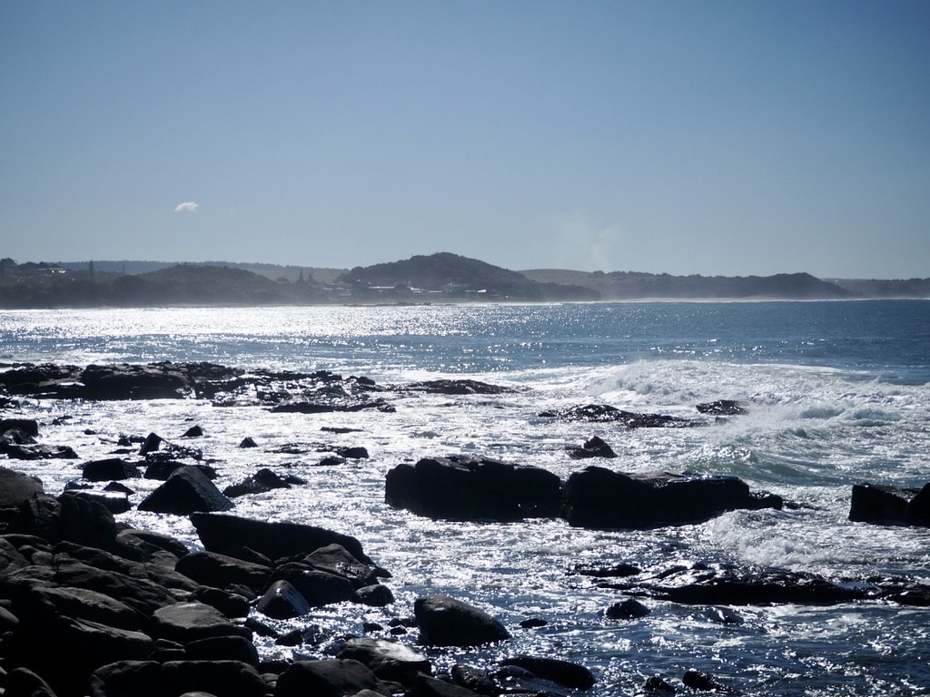
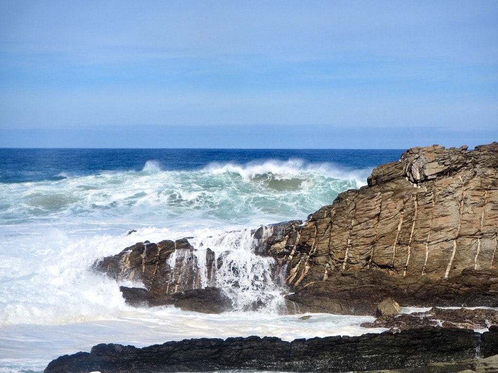
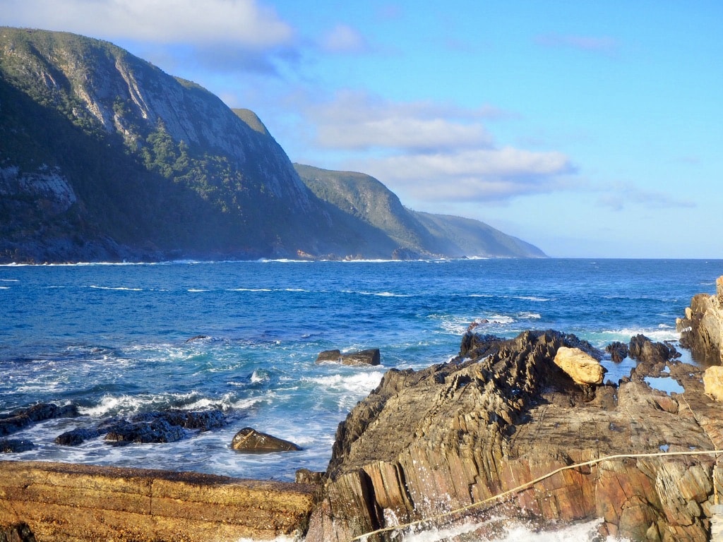
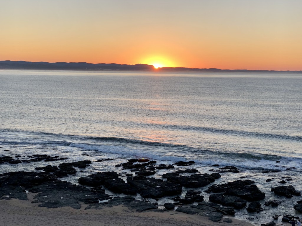
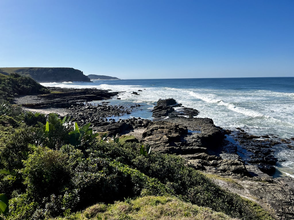
Tsitsikamma National Park
Gqeberha (Port Elizabeth) – Tsitsikamma National Park: 116km, 1hour 15min on N2 highway. Accesible without 4×4 vehicle
Situated on the border between Eastern and Western Cape, it is a haven for outdoor enthusiasts. It offers a range of activities, including hiking, kayaking, snorkeling, and bird watching, amidst indigenous forests teeming with ancient Yellowwood trees and diverse birdlife.
For the best experience, staying at the accommodation inside the park, managed by SAN Parks, is ideal. However, due to its popularity, booking well in advance, sometimes a year ahead, is necessary. Alternatively, accommodations in close proximity to the park allow for daily access to its activities.
Among the highlights at Tsitsikamma:
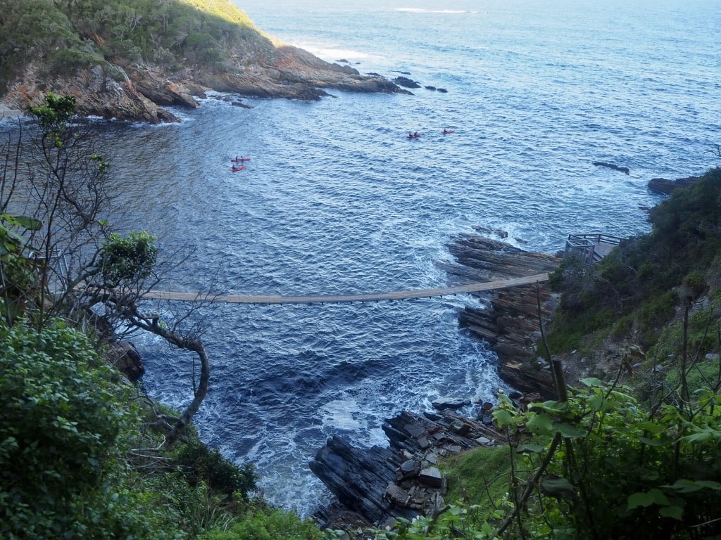
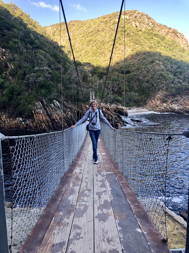
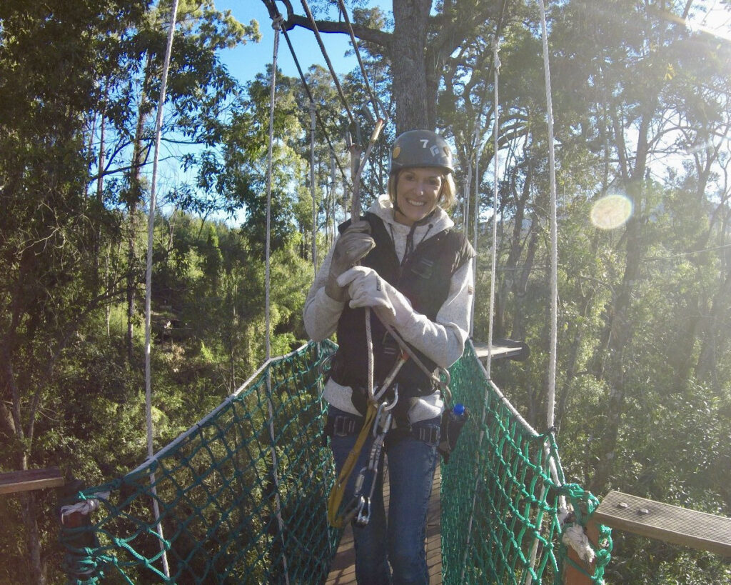
Walk on the Suspension Bridge: Offering breathtaking views of the coastal landscape and the Storms River, the suspension bridge spans the dramatic Storms River Mouth.
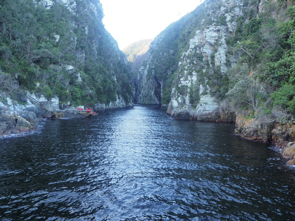
Kayaking up the Storms River: A guided kayaking tour through the captivating gorge is a must-do activity, marked as a definite highlight of my visit.
Zip Line: A fun activity suitable for everyone over 6 years old.
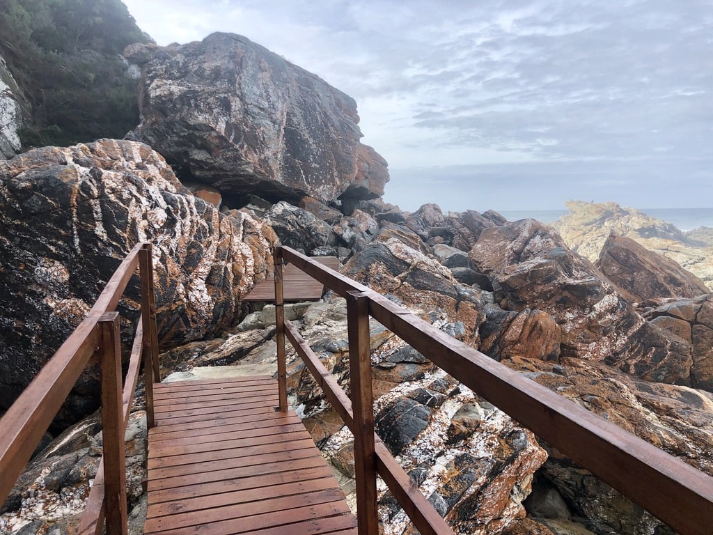
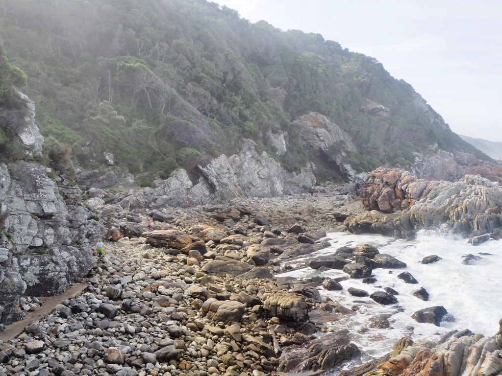
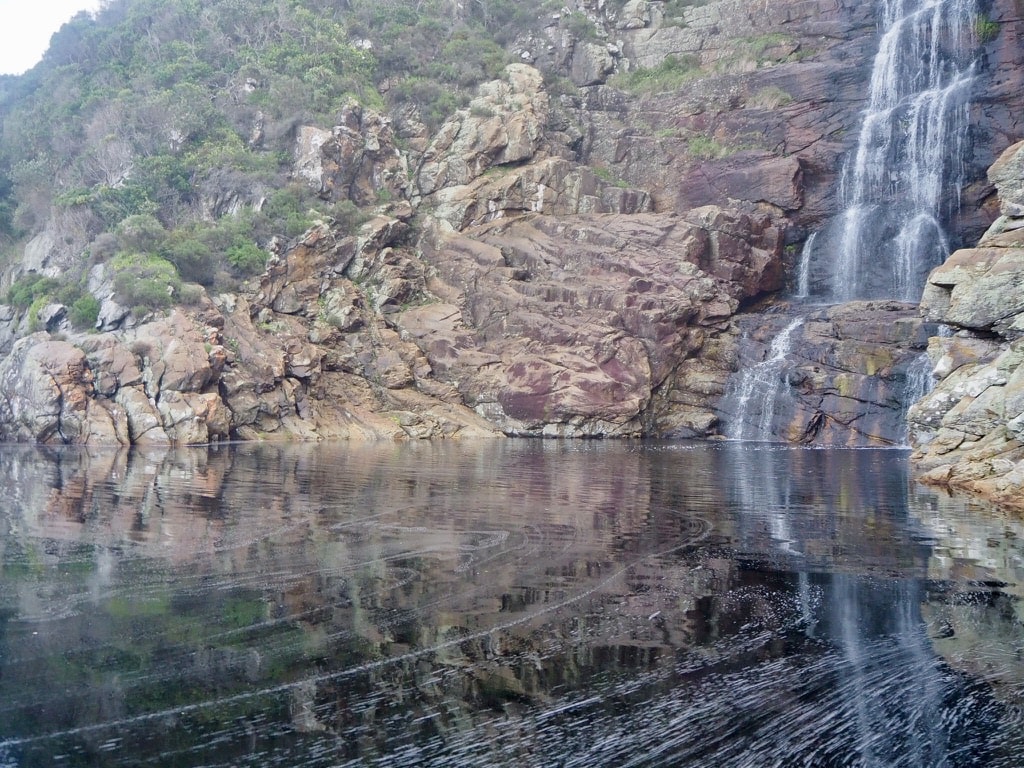
Adventure Trail to the Waterfall: Although approximately 6km, the trail takes 3-4 hours to complete due to its adventurous nature. Conquering big rocks, it requires a certain level of fitness and is not recommended for those with health conditions.
Bungee Jumping: While I haven’t personally experienced this activity, the Bloukrans Bridge Bungy is one of the world’s highest commercial bungee jumping sites at 216 meters above the Bloukrans River, located on the N2 Highway in the Tsitsikamma area.
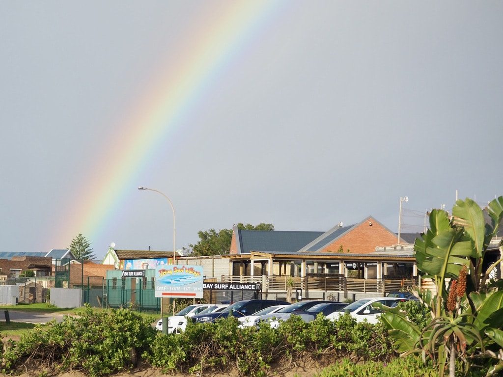
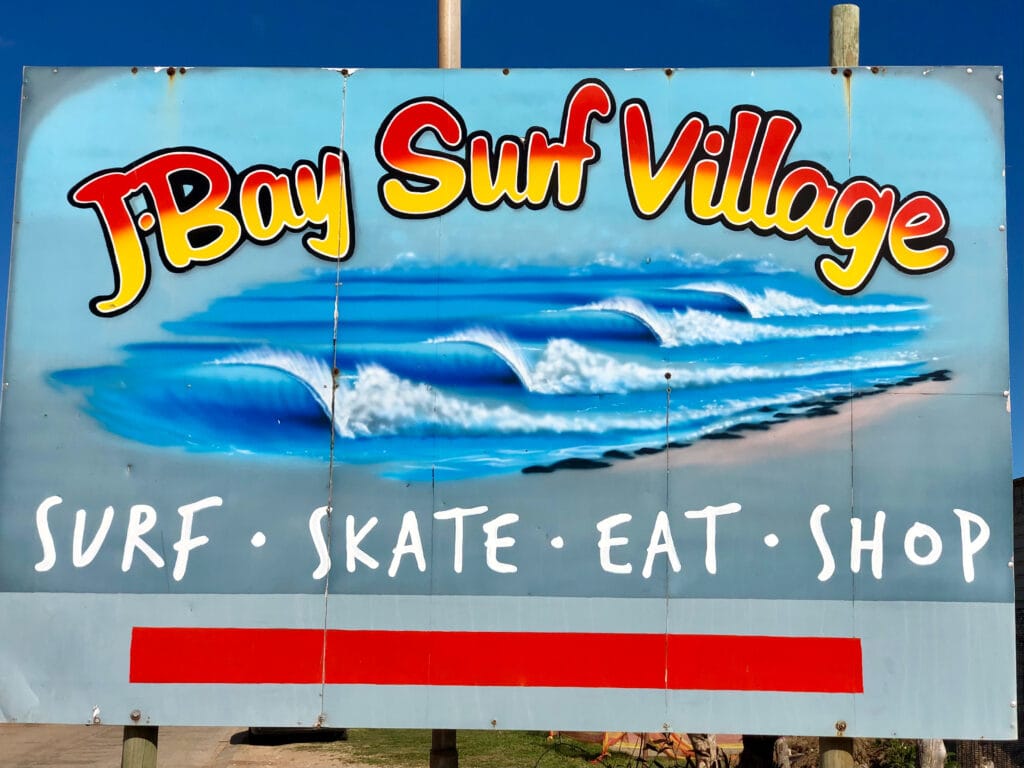
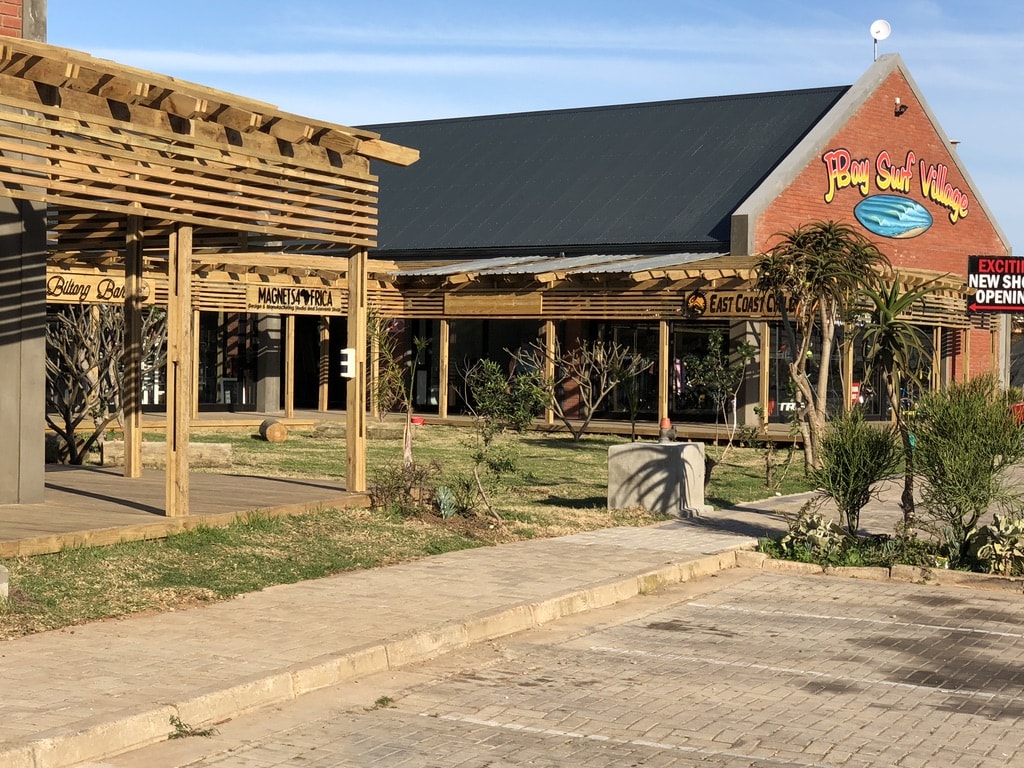
Jeffreys Bay
Tsitsikamma National Park – J-Bay: 48km, 32min on N2 highway. Accesible without 4×4 vehicle
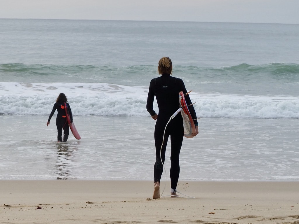
Commonly referred to as “J-Bay,” it attracts surfers from around the globe to its famous Supertubes, known for hosting international surfing competitions.
It is one of my favorite places to hang around for a day or two, enjoying the beach, and watching the dolphins and whales. Of course, I admired the top surfers riding big waves, trying to do some surfing myself. And more, I love shopping in the big Surfer brand outlet stores.
When I am in J-Bay, I always park at the J-Bay village in front of the Billabong Outlet store. That is the original place where one can enjoy the surf culture at its best. There are shops, coffee shops, and surf schools. You can easily reach the beachfront and walk on the beautiful beach for miles.
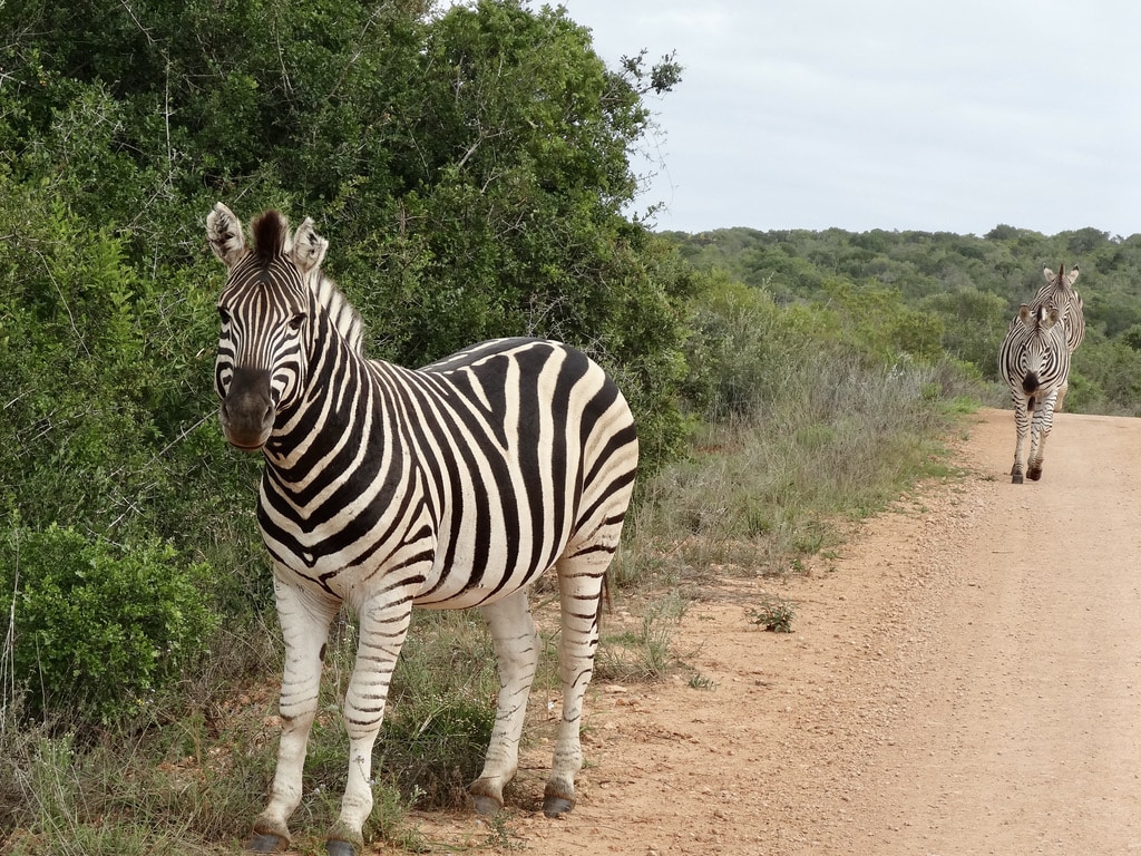
Addo Elephant National Park
Jeffreys Bay – Addo Elephant National Park: 115km, 1hour 15min. Accesible without 4×4 vehicle
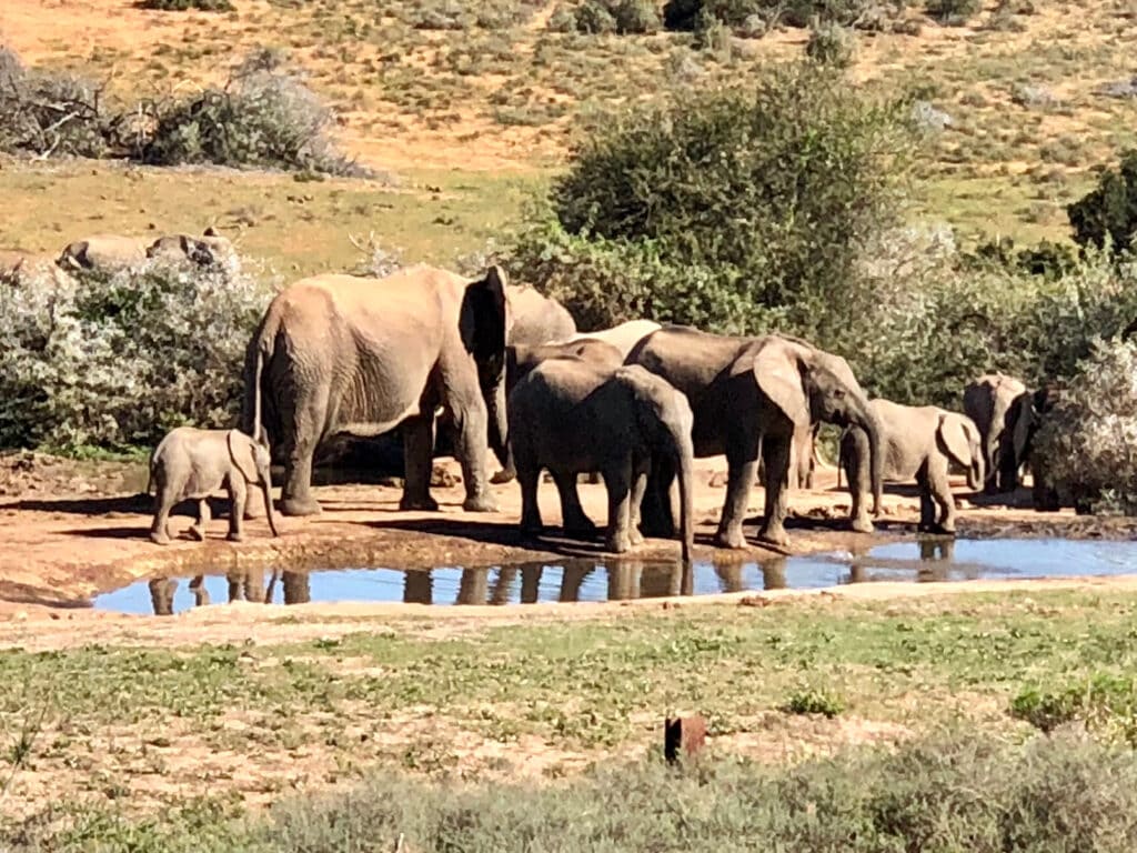
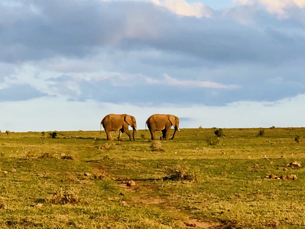
I can’t even remember how many times I’ve visited Addo Elephant National Park. Whether as a day trip, staying inside the park for a few nights, or choosing accommodations just outside, each visit has been unique.
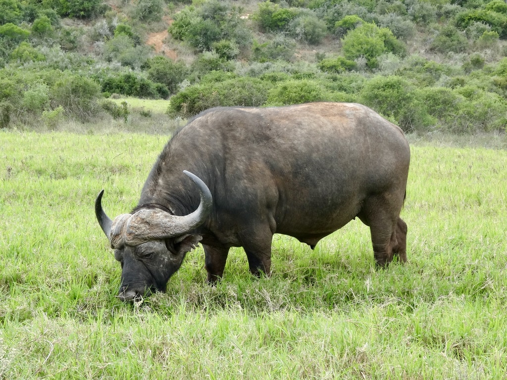
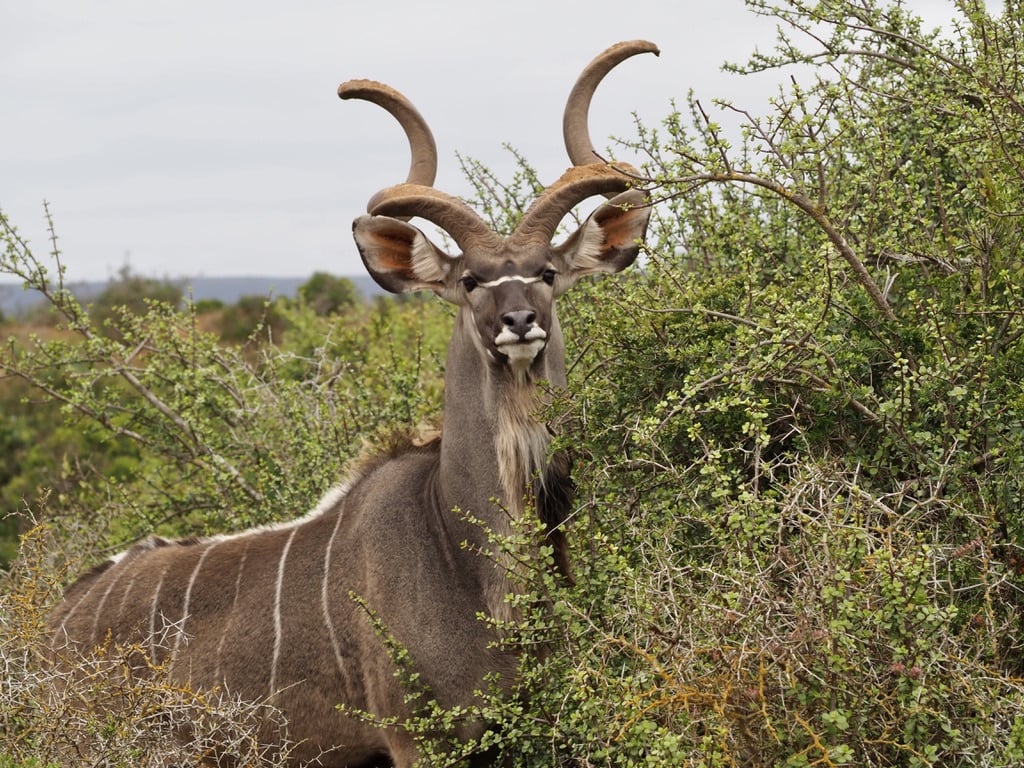
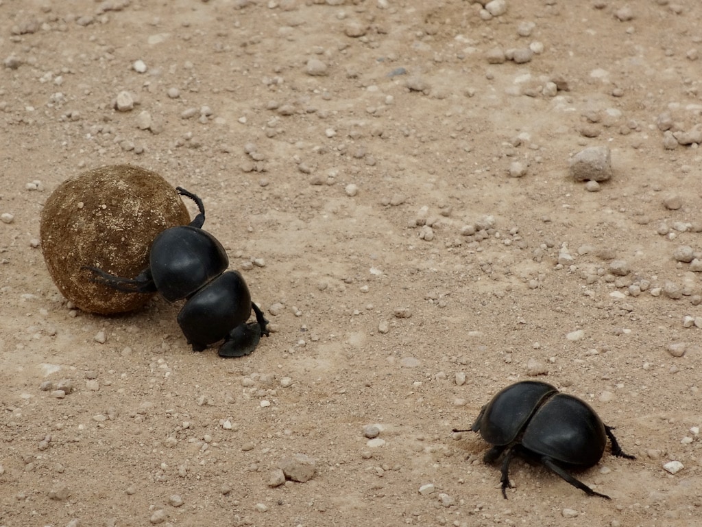
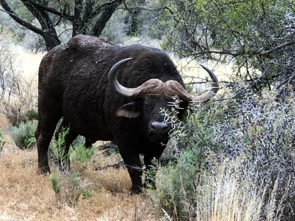
Initially established to protect the last remaining Addo elephants, the park has evolved into a diverse conservation area, home to a variety of plant and animal species. It’s particularly renowned for its large elephant herds, lions, buffalo, rhinoceros, various antelope species, and even dung beetles.
The park has two main entrances, and after registration and fee payments, we receive a map, making it easy to drive around while adhering to park rules.
Accommodation
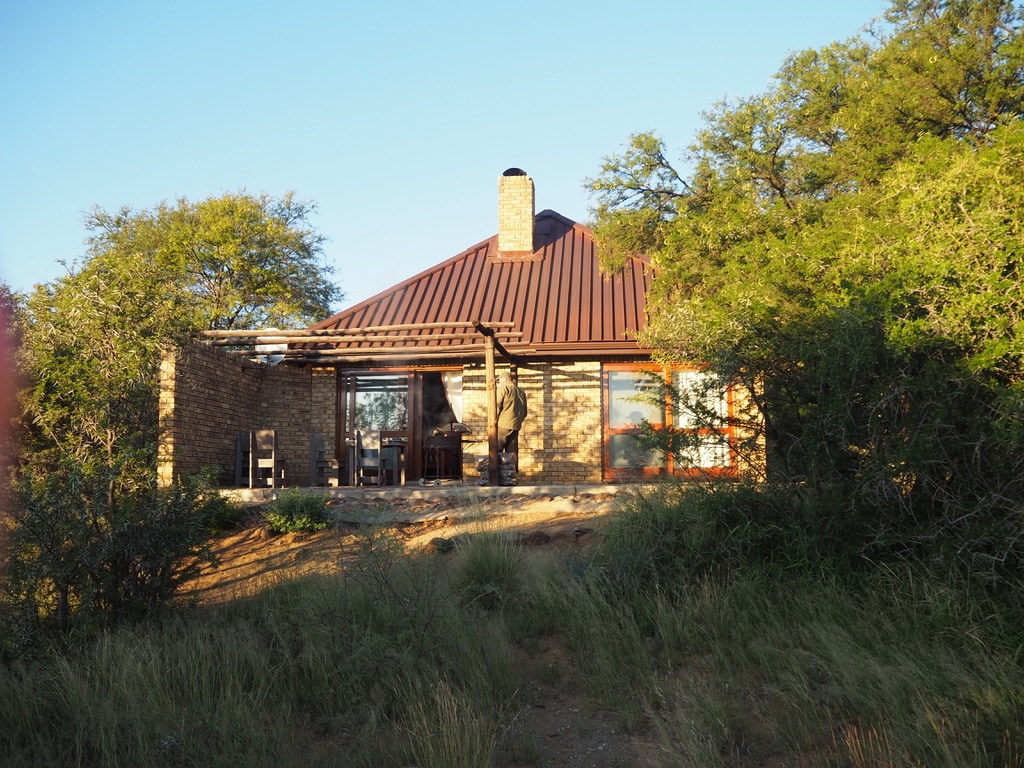
Staying inside the park in the self-catering cottages run by SAN Parks is the ideal way to explore. While basic, the cottages provide everything needed for a comfortable stay. Due to its popularity, reservations need to be made months in advance.
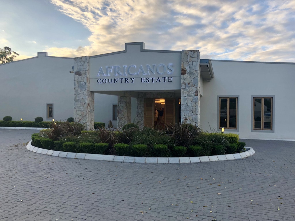
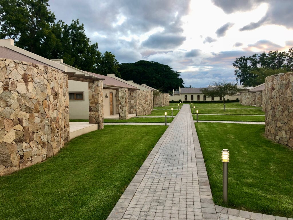
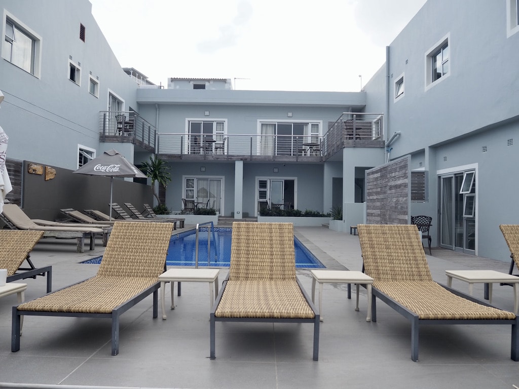
Alternatively, accommodations outside the park are available. We stayed in the upmarket Africanos Country Estate and it was lovely.
Game drives
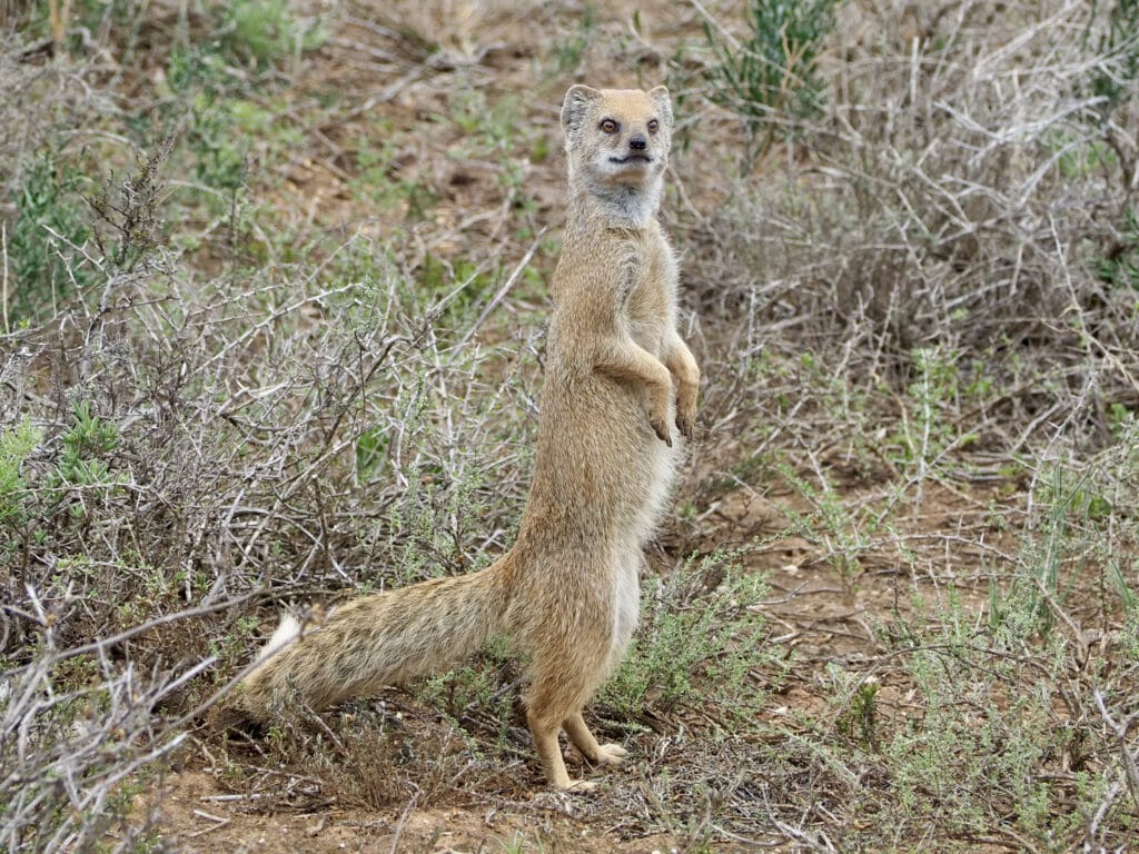
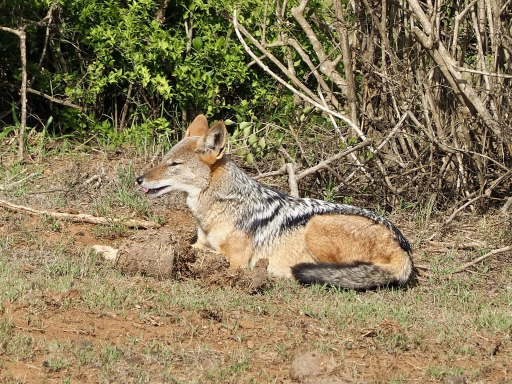
Driving in Addo Park is an adventure of its own. Spotting wildlife is unpredictable, and you never know what animals will appear. While elephants, warthogs, various antelopes, zebras, and dung beetles are almost guaranteed, there’s a good chance to spot jackals or buffalo. Spotting lions can be tricky, with some visits we were lucky and others not.

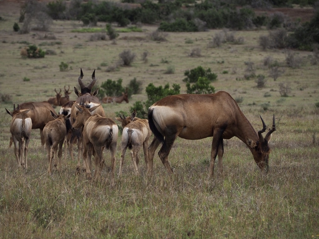
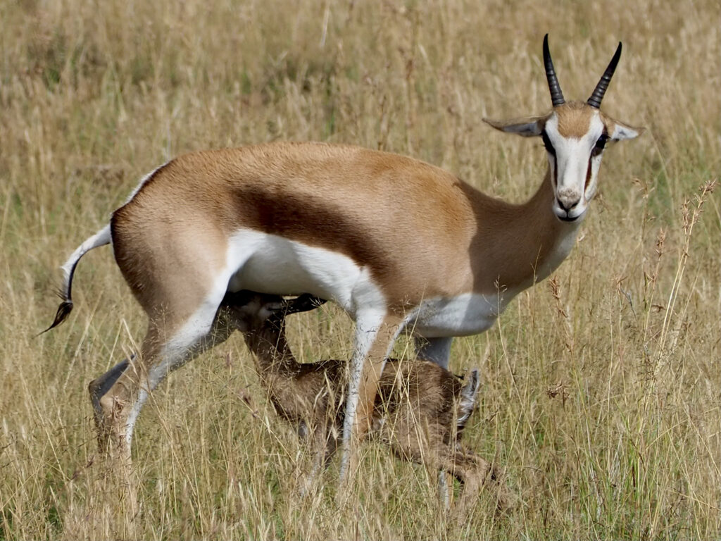
Red hartebeest

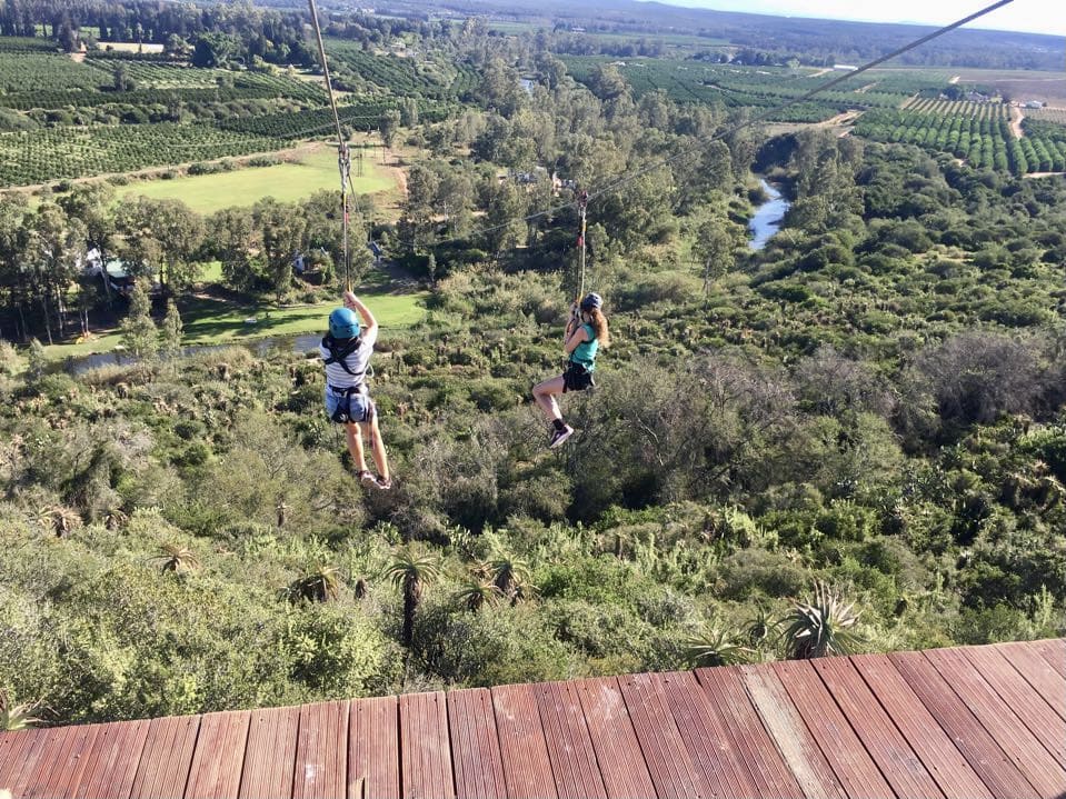
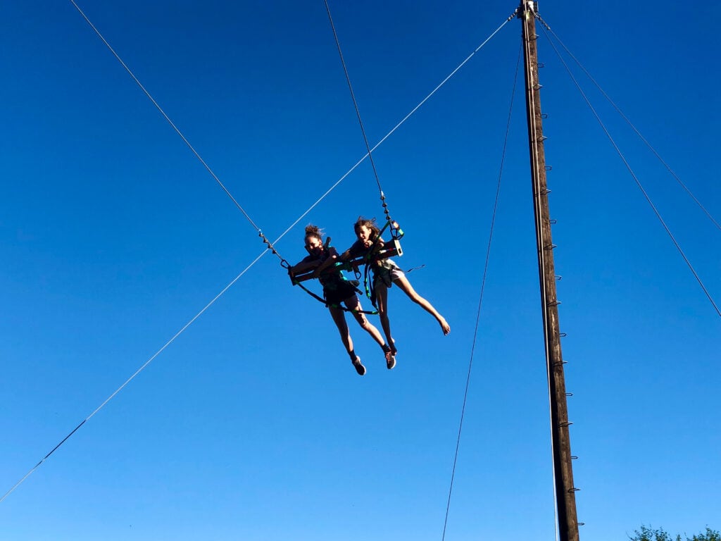
Adrenaline Addo
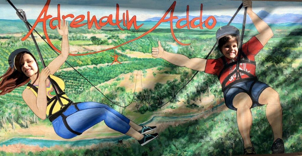
It is a fantastic destination for adventure lovers, offering a ride on the highest, longest, and fastest double zip line in South Africa. You can also try the giant swing or canoeing on the Sundays River. We tried all the activivities and spend an enjoyble time doing that.
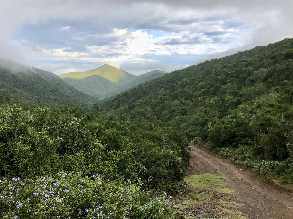
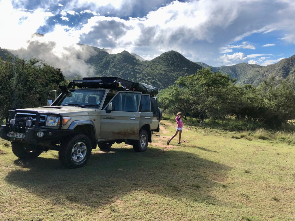
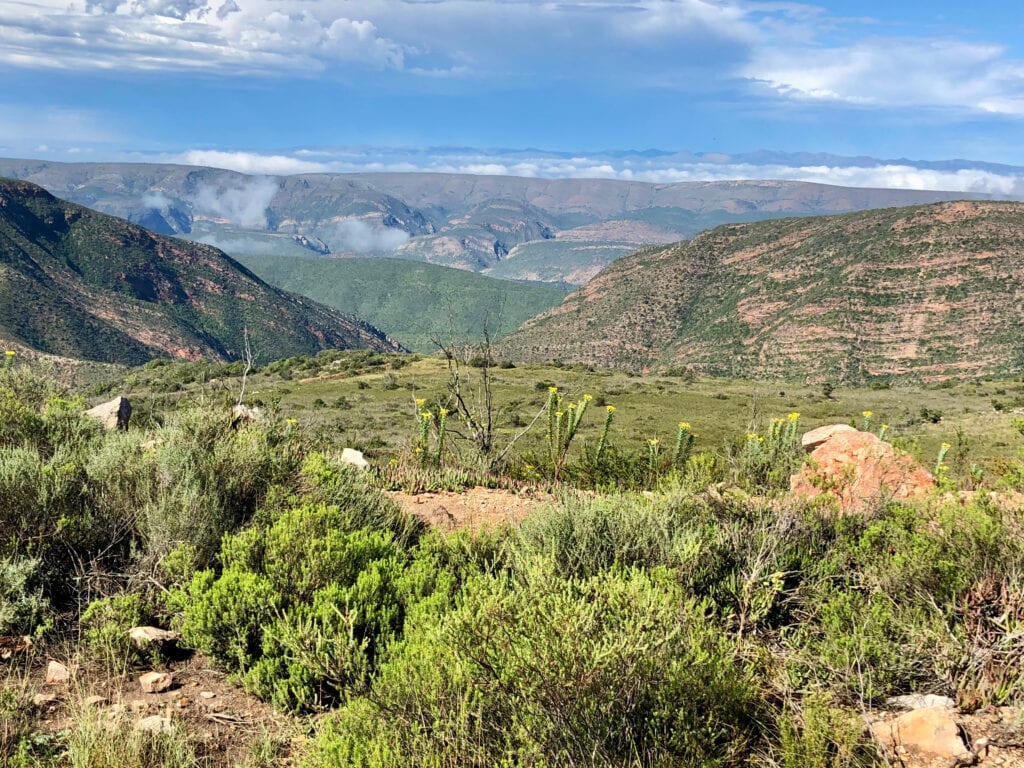
The Bedrogfontein 4×4 Trail.
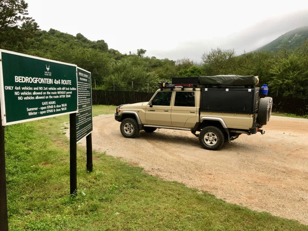
It is situated approximately 1 hour and 15 minutes from Addo Elephant National Park in the Baviaanskloof Nature Reserve. This 45km off-road adventure is a genuine 4×4 challenge, navigating through rugged terrain, river crossings, and steep ascents. The trail offers breathtaking views of the surrounding wilderness in a remote setting. It’s worth noting that once you get on the trail, you’re on your own, as there is minimal to no mobile phone coverage for the majority of the journey.

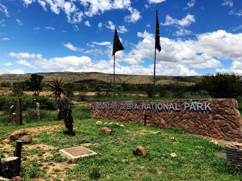
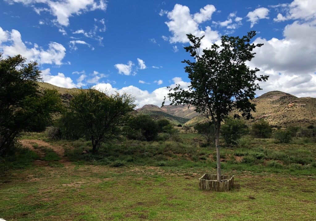
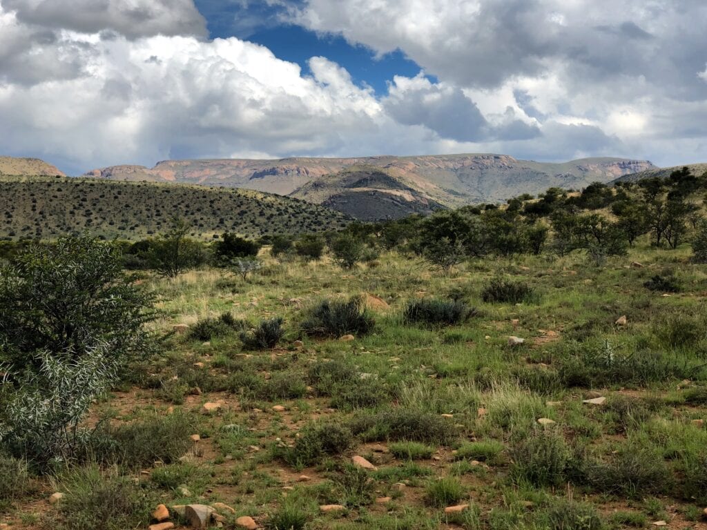
Mountain Zebra National Park
Addo Elephant National Park – Mountain Zebra National park: 210km, 2hours 45min via N10. Accesible without 4×4 vehicle.
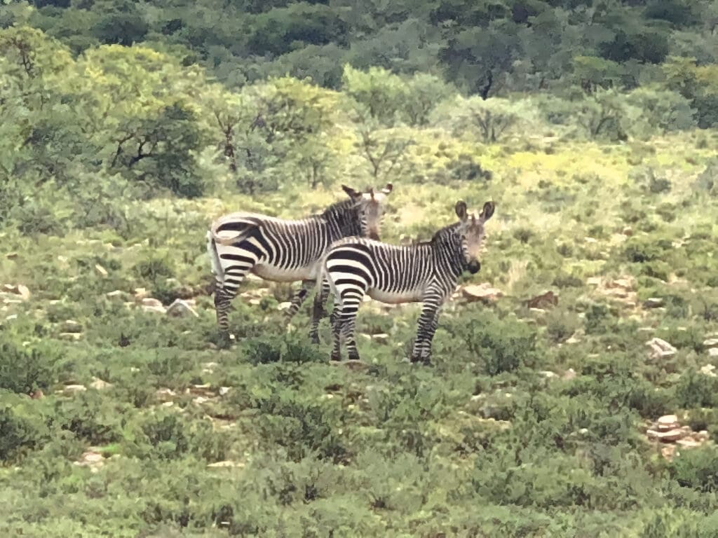
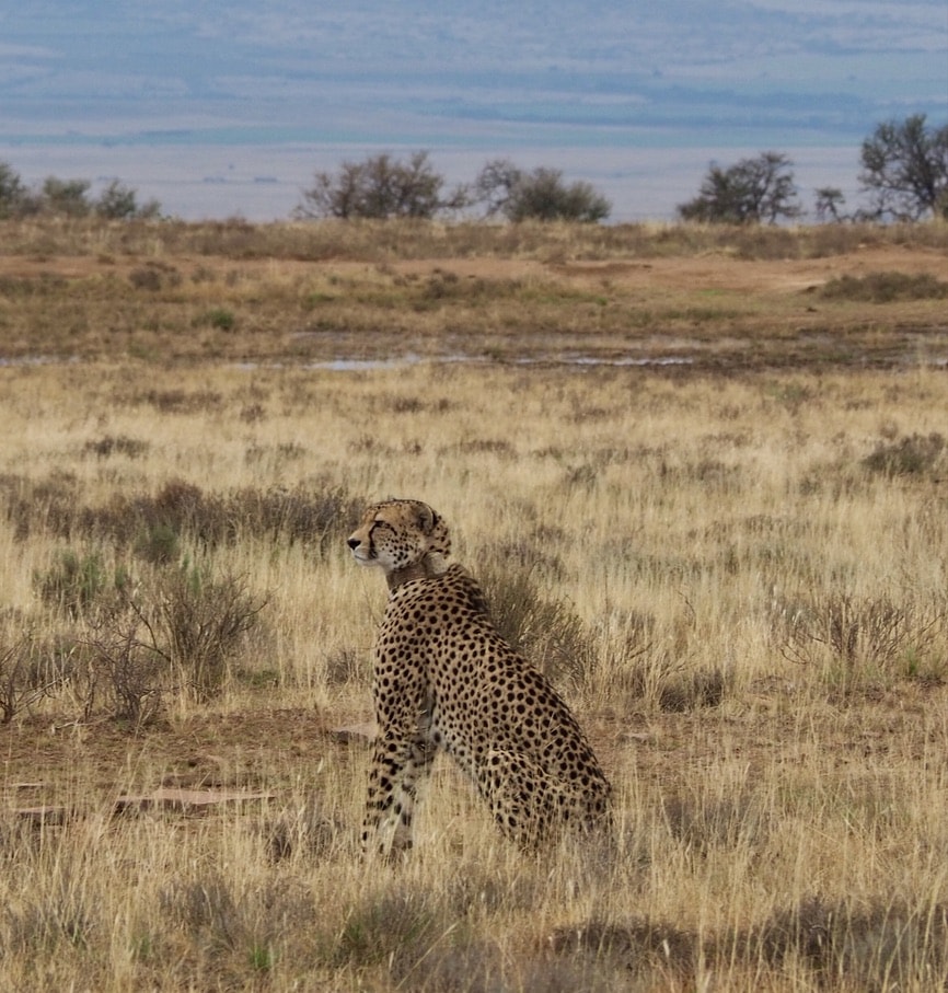
It is a conservation area dedicated to the preservation of the Cape mountain zebra. The park offers a unique opportunity to observe these endangered zebras in their natural habitat. Beyond zebras, the park is home to a variety of wildlife, including buffalo, cheetahs, and various antelope species.
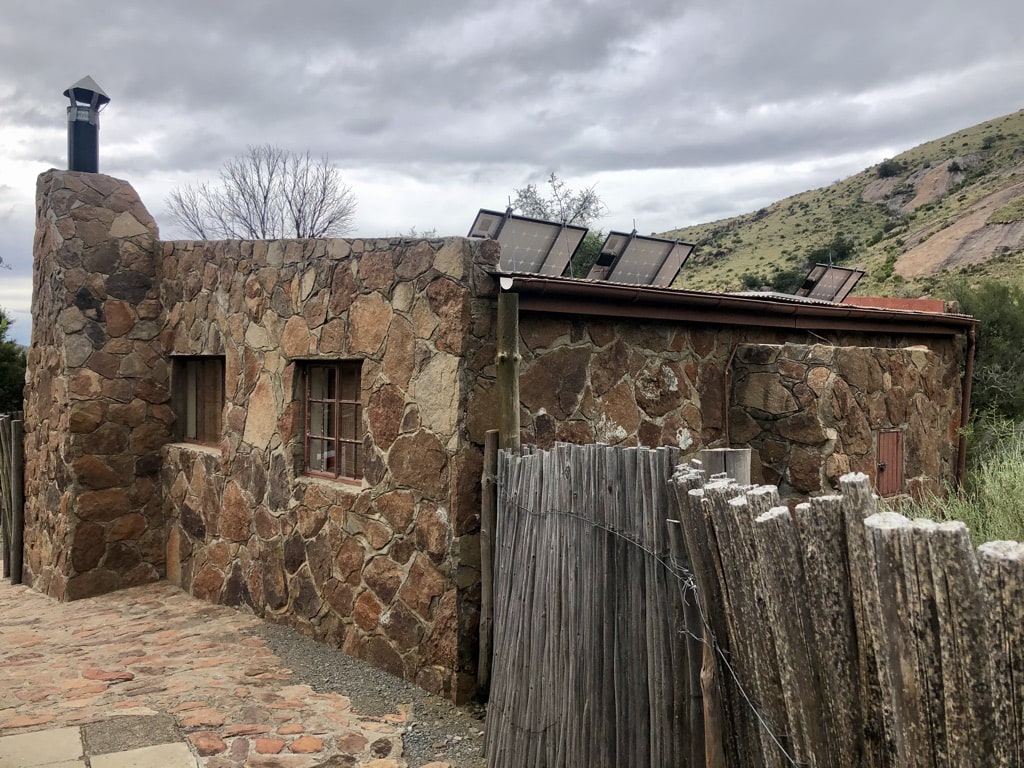
Accommodation
The accommodation inside the park is managed by SANParks, offering various types of lodging. We stayed in the family cottages and the remote Mountain Cottage.
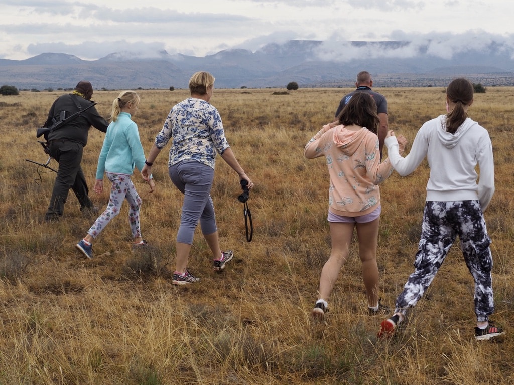
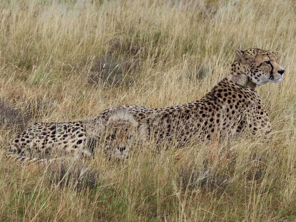
Cheetah tracking
It is a popular activity offered by experienced guides. We did it a couple of times and always enjoyed the thrill of tracking the cheetah. The excitement built as we were getting closer to these stunning animals.
4×4 tracks
Mountain Zebra National Park offers three tracks within its boundaries for exploration. This off-road drive is an adventurous experience, allowing you to explore areas beyond the main roads of the park. This activity requires a 4×4 off-road vehicle to navigate the diverse and challenging terrain.
Game drives:
The park’s main roads are easy to drive on and allow one to explore the park while spotting different types of animals.
There are also game drives with a professional guide organized by the park.
Hogsback
Mountain Zebra National Park – Hogsback: 210km, 3hours. Accesible without 4×4 vehicle.
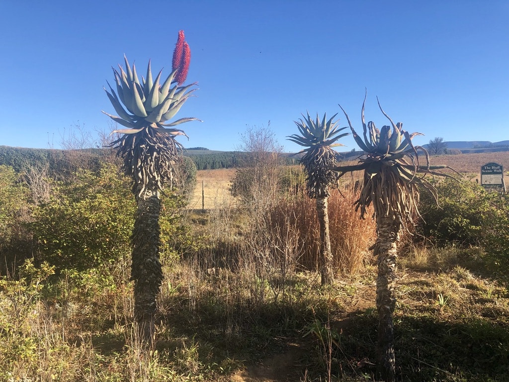
Hogsback is an enchanting mountain village known for its forests, waterfalls, and beautiful landscapes.
Hogsback is often referred to as a place of magical beauty. The village offers hiking trails leading to places such as the Madonna and Child waterfall. One can explore the indigenous forests and enjoy small the hospitality of the artistic community.
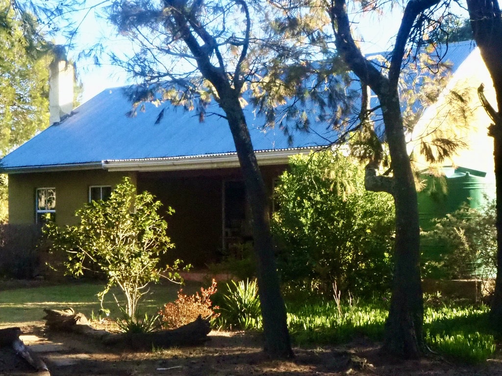
There are plenty of B&Bs to stay in. We really like staying at Hogsback Inn, established in 1880. They offer hotel rooms as well as separate cottages, and the hotel has a real charm.

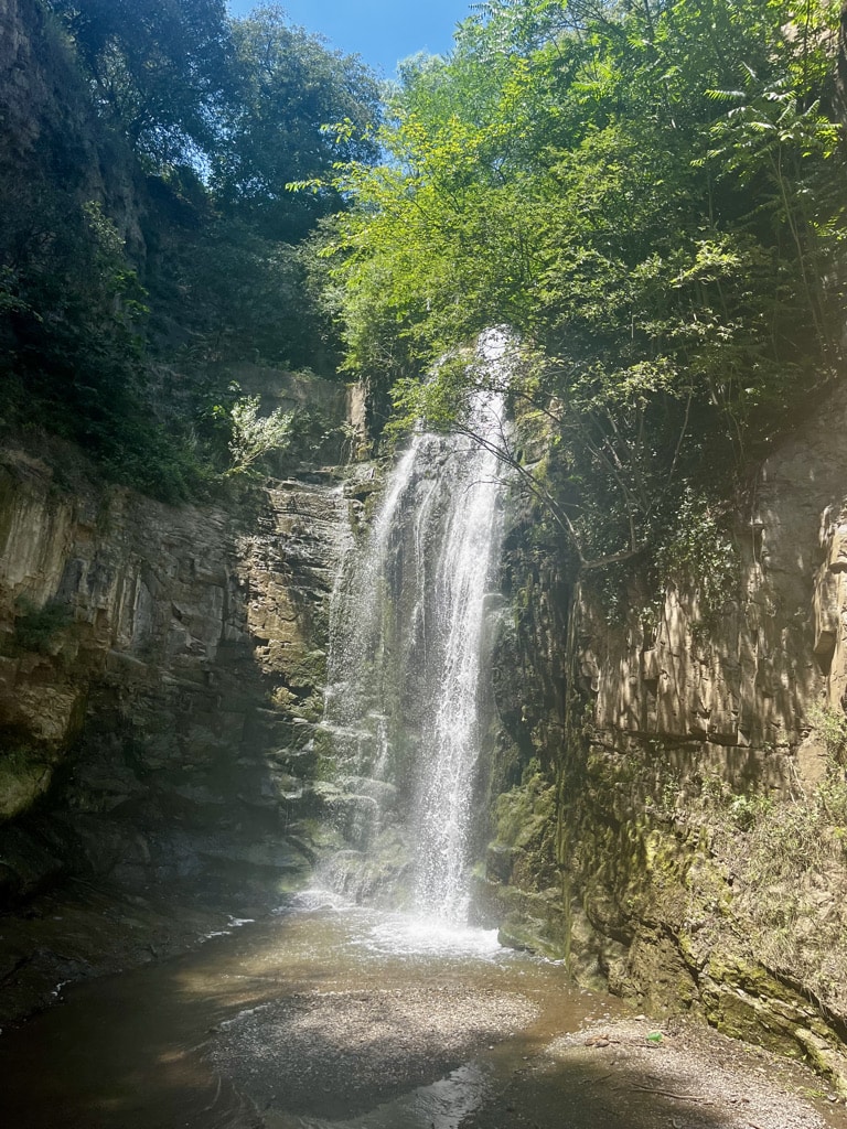
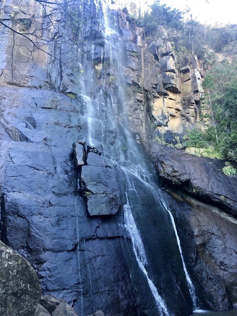
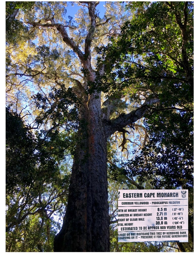
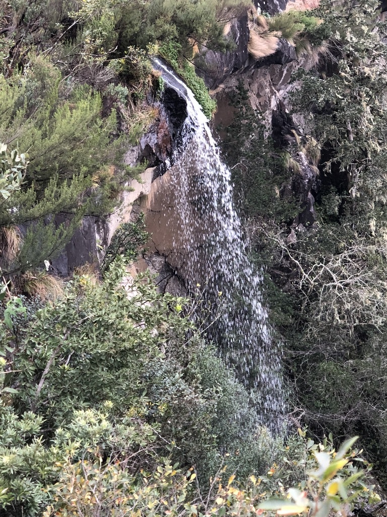
Madonna and Child Waterfal
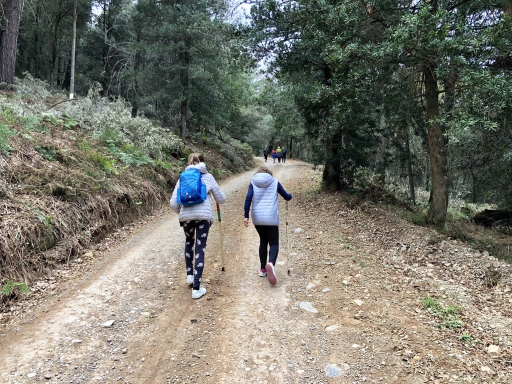
The hike leads through the indigenous forest. The first part involves a steep descent, leading to the waterfall hidden in the middle of the forest. The walk continues through the forest, allowing admiration of some very old Yellowwood trees. It concludes in the bottom part of Hogsback Village.
The Kettlespout Hiking Trail
The trail is of a moderate level of difficulty with no extra steep ascends or descents. The journey begins at the Hogsback Arboretum and continues way through the indigenous forests filled with ancient Yellowwood trees. At the end of the trail is the Kettlespout Waterfall.
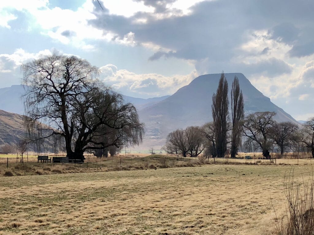
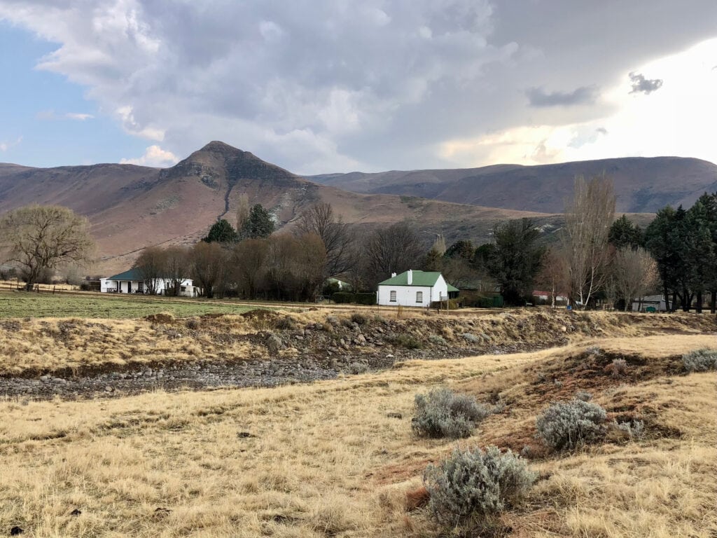
Rhodes, Drakensberg Mountains
Hogsback – Rhodes: 320km, 5 hours. 4×4 off road car is needed.
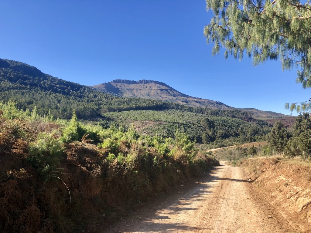
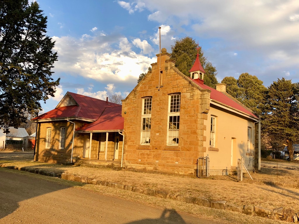
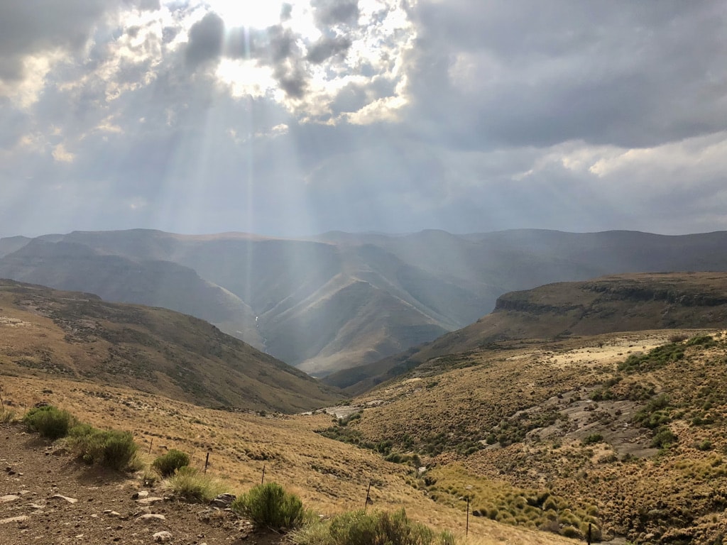
Rhodes is a small village located in the Drakensberg Mountains, a good 2 hours away from the nearest town and accessible through a dirt road. Named after the British imperialist Cecil John Rhodes, it offers a true escape from urban life. The village houses are built in well-preserved Victorian architecture. In the evening, there are no lights in the village and no shops, so it is crucial to bring everything needed. There is only a small pub where locals gather in the evening.
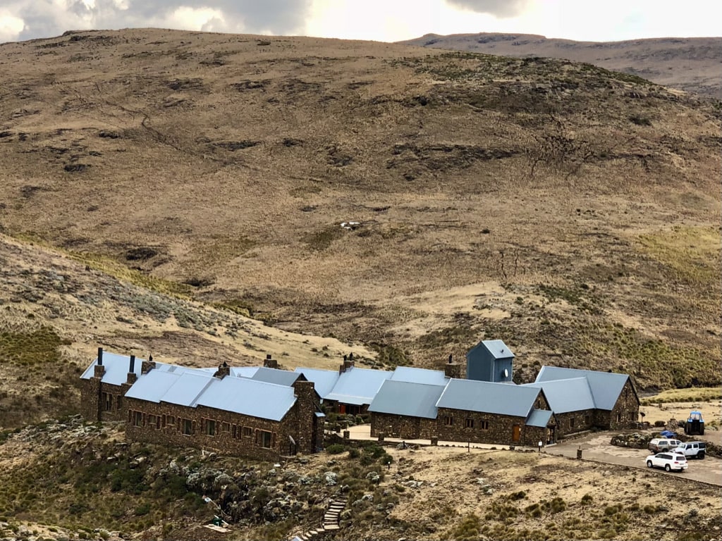
During our time in Rhodes, we enjoyed two awesome excursions – a drive to Tenahead and skiing in Tiffandel.
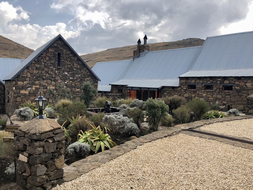
It is a luxury retreat situated 30km from Rhodes. The journey to Tenahead is an adventure in itself, with a narrow dirt road winding through the mountain ranges, taking at least an hour to reach the destination. The scenery along the way is breathtaking, and upon arrival, the lodge offers fantastic hospitality. We had a great lunch at the lodge’s restaurant while taking in the stunning views.
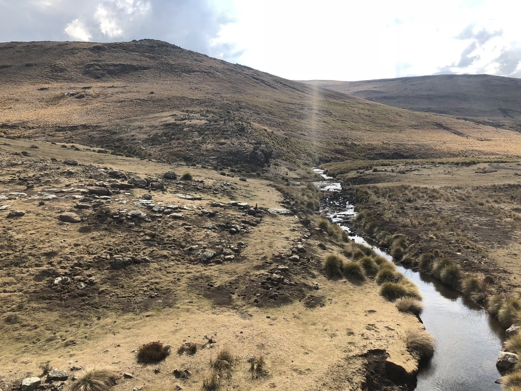
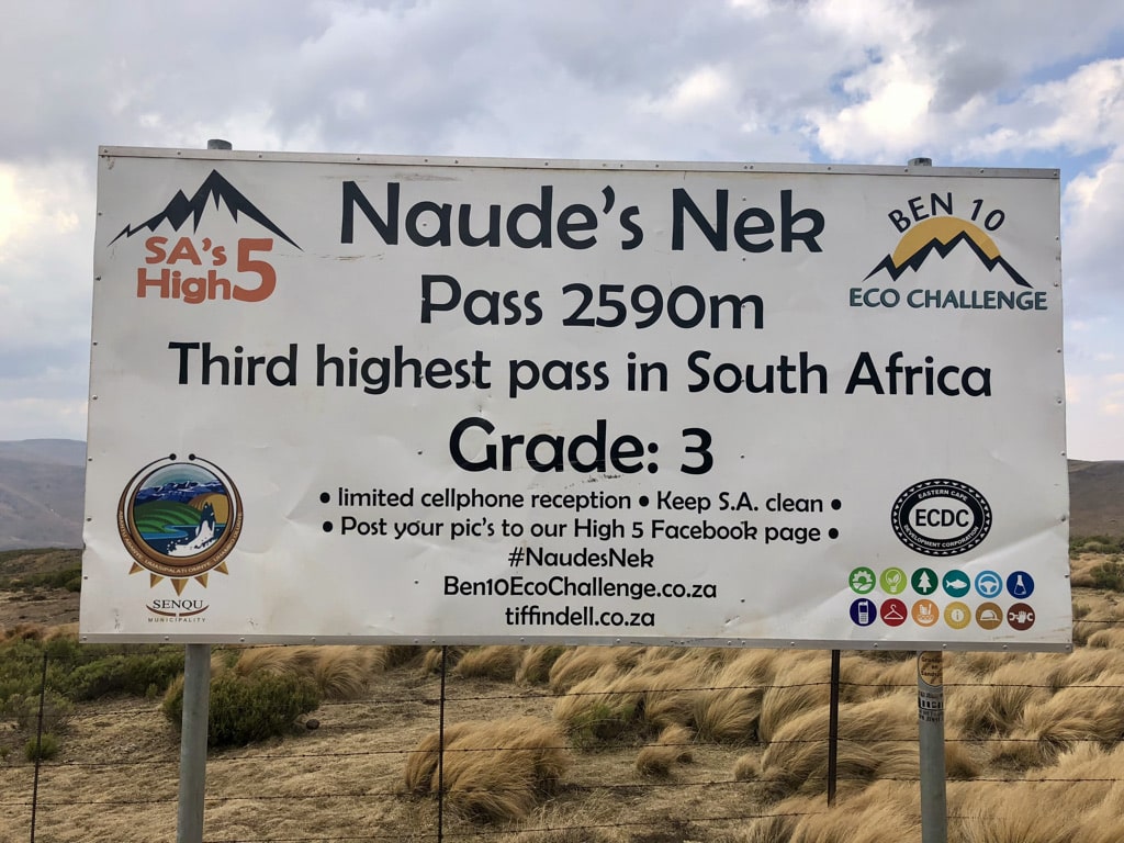
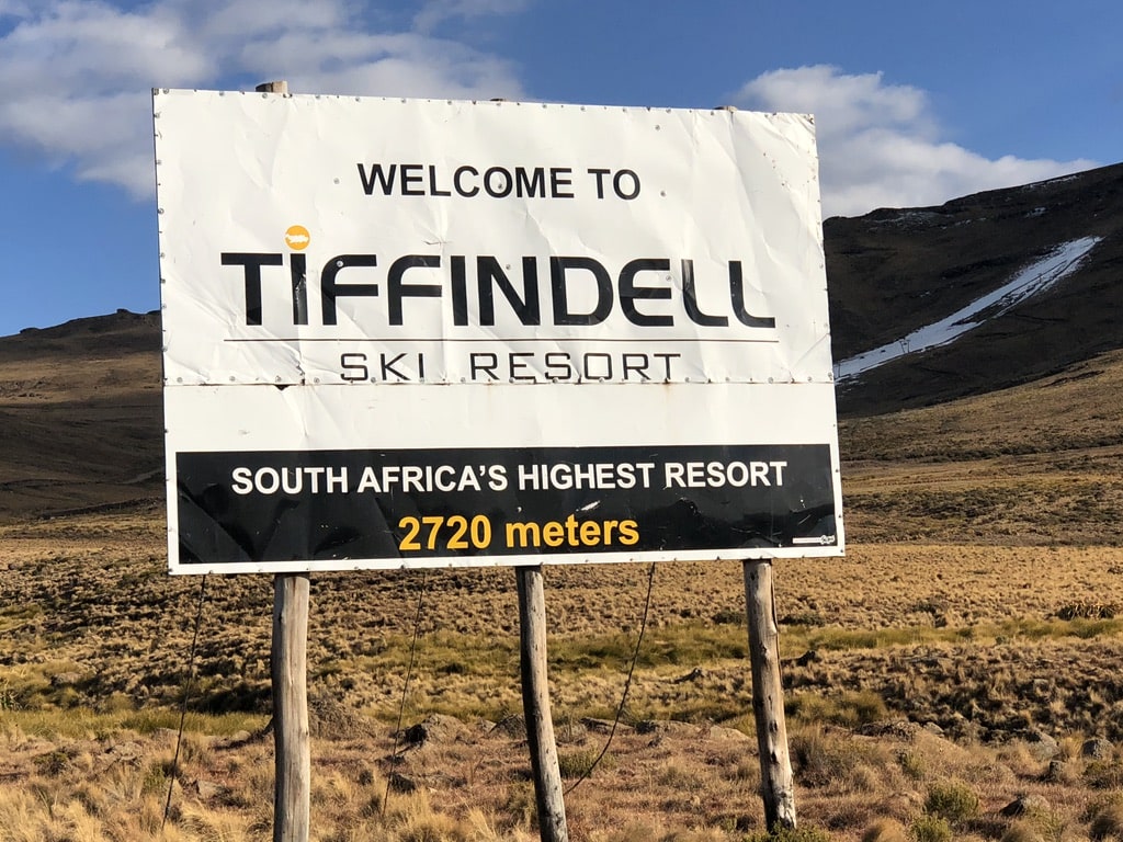
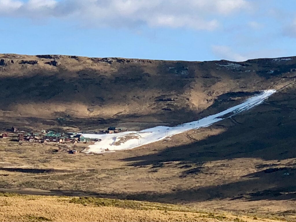
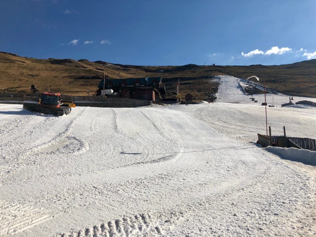
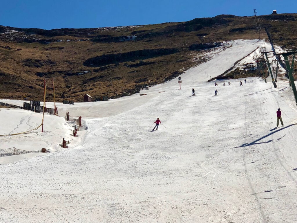
Yes, indeed, there is (or was) a skiing resort in South Africa! Located about 25km from Rhodes, getting there is an adventure in itself. The journey involves a dirt road through the mountain ranges, passing by Naude’s Neck Pass, the third-highest pass in South Africa. As you approach, a small strip of white snow becomes visible, drawing closer with each turn.
For us, excellent skiers was the slope “fun” but the overall experience of skiing in Africa was truly unforgettable.
Very sadly, the skiing resort didn’t open this year, and according to the website, it is currently for sale.
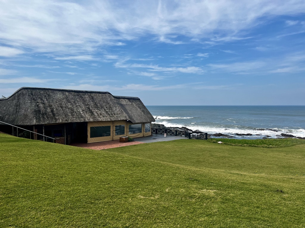
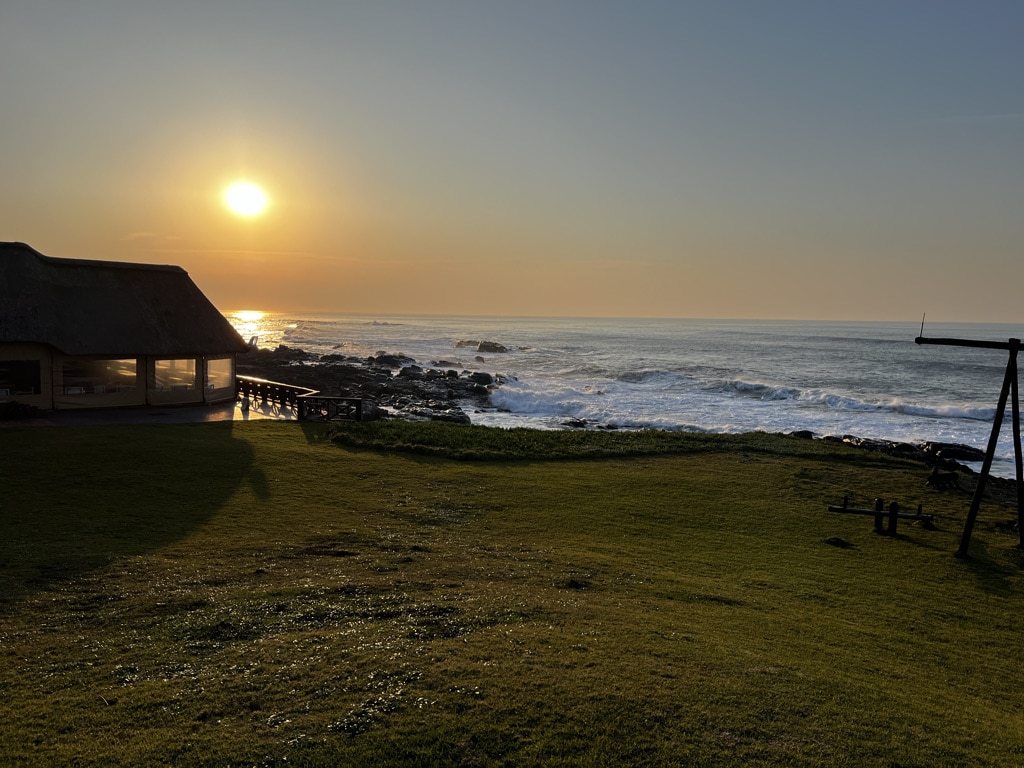
Kob Inn in Transkei
Rhodes – Kob Inn: 277km, 5,5hours. 4×4 off road car is needed
About Transkei
It is a distinctive region in the Eastern Cape of South Africa, bears historical importance as a Bantustan—a partially self-governing area established during the apartheid era. Founded in 1963, it was designated as a separate homeland for the Xhosa-speaking Thembu people. Despite gaining nominal independence in 1976, this status was not internationally recognized. In 1994, following the end of apartheid, Transkei was reintegrated into South Africa. Nonetheless, life in Transkei still echoes its original lifestyle.
There are several hotel lodges scattered along the Transkei coastline. One of them is Kob Inn.
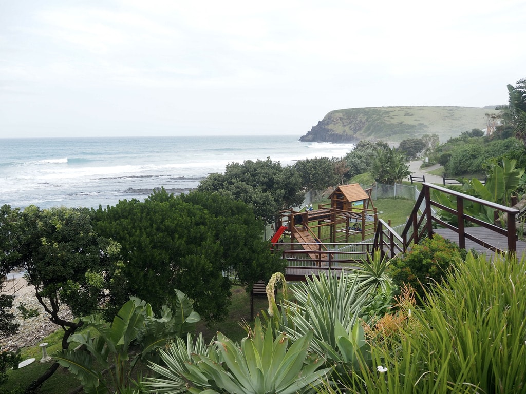
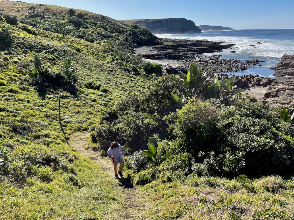
Situated about 1.5 hours away from the closest city Willowvale, the journey to reach Kob Inn involves navigating a less-than-ideal dirt road. However, the destination itself is a paradise. With long, wide sandy beaches and a beautiful coastline, Kob Inn invites outdoor activities such as fishing, hiking, or canoeing.
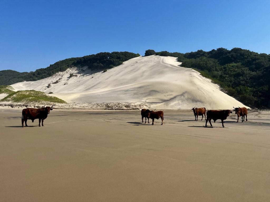
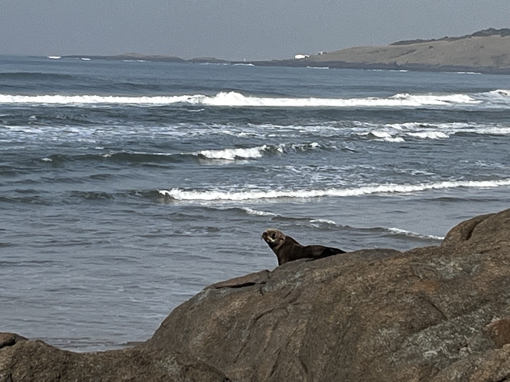
During our stay at Kob Inn, we did a hike to another Transkei lodge, Mazzepa Bay. This half-day activity was nothing short of fantastic, featuring walks on empty beaches with cows basking in the sun, ascending cliffs for panoramic views, observing a seal resting on a large stone, and witnessing dolphins and whales in the ocean.
Morgan Bay
Kob Inn – Morgan Bay: 103km, 3hours. 4×4 off road car is needed
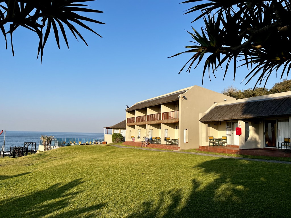
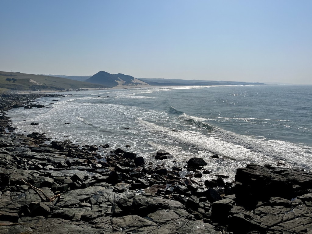
Morgan Bay is another stunning location bordering Transkei on the South African wildcost. There is a small village and the absolutely fantastic Morgan Bay Hotel. While the hotel may be pricier compared to other places, the quality of service is exceptional, making a stay there a true treat.
We spent two days in the winter months, so our activities revolved around hiking.
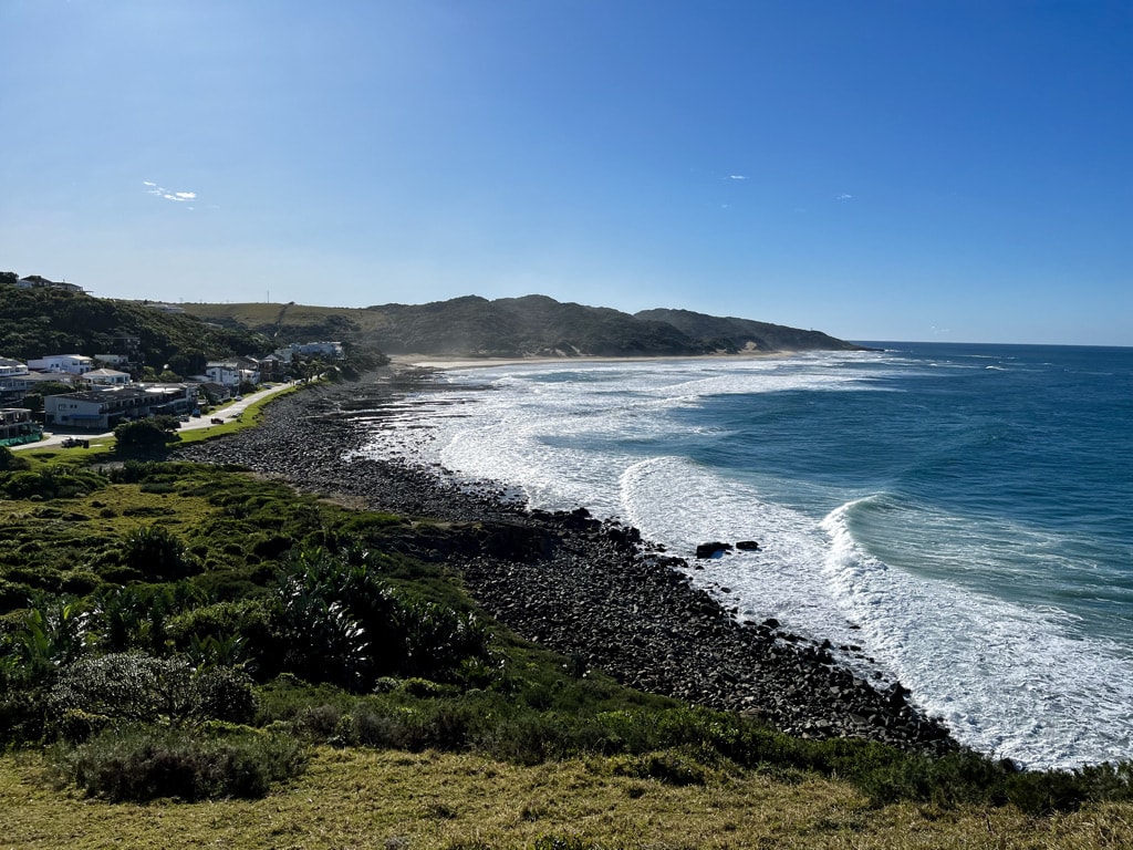
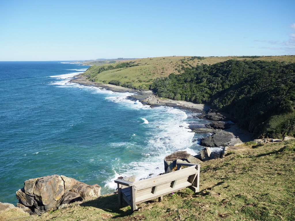
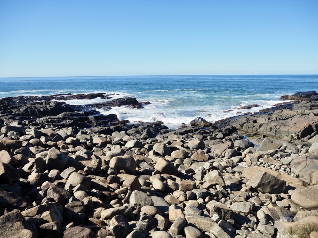
Walk on the Cliffs:
The views of the ocean from the cliffs above Morgan Bay are breathtaking. Spending hours there, walking, enjoying the scenery, and observing dolphins and whales in close proximity made it truly memorable.

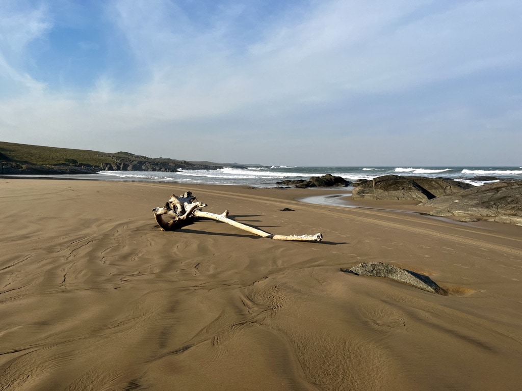
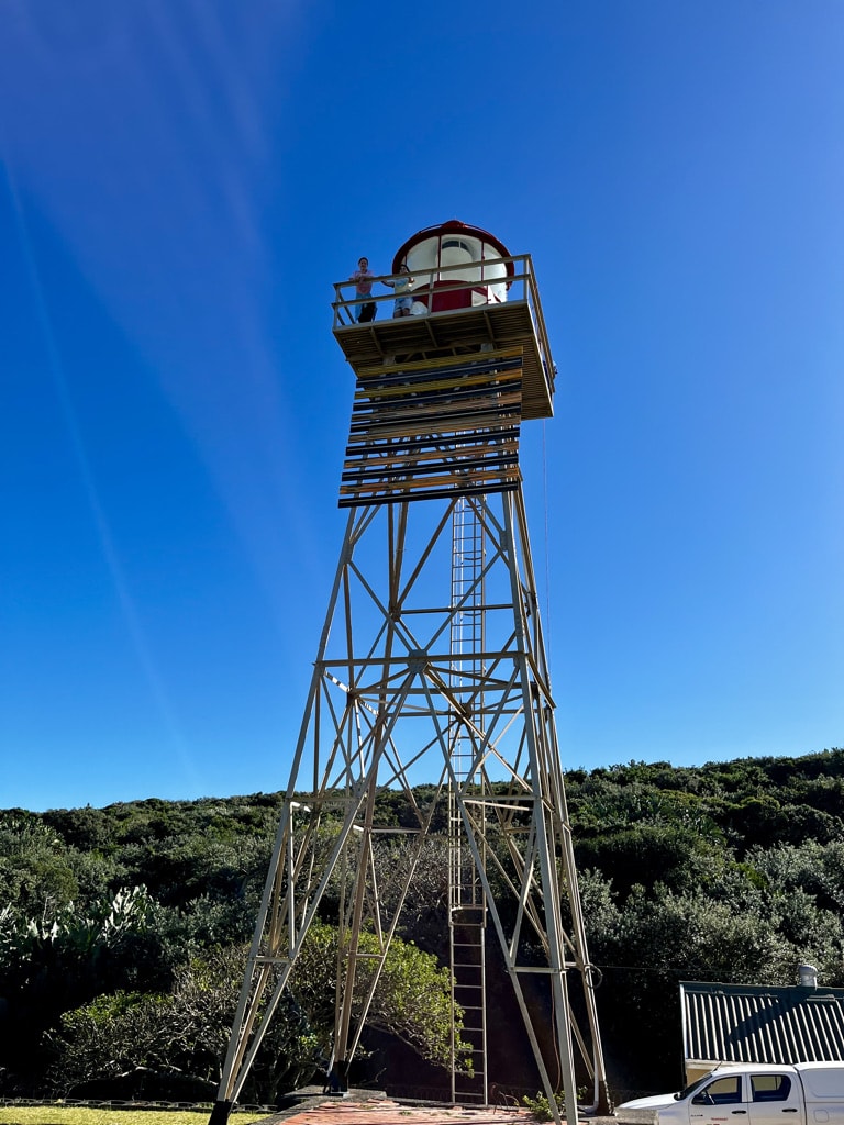
Hike to Kei River Mouth:
This half-day activity began with a beach walk leading to higher, bushy grounds, passing by the lighthouse along the way. Although the lighthouse is closed to public, we were fortunate; on that day, maintenance was underway, and we were allowed to climb all the way up. The walk continued down to the ocean, where we climbed over many rocks to eventually reach Kei River Mouth. Completing a loop, we walked on the back road, enjoyed a snack at the local golf course restaurant, and returned to our hotel. This unspoiled route has no shops, so carrying water and snacks is essential for this hike.
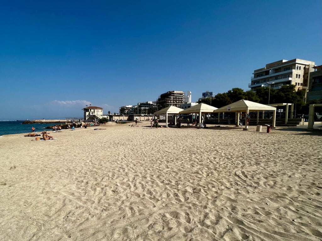
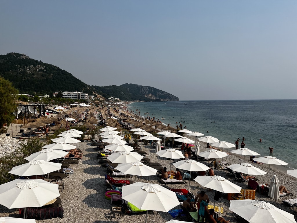
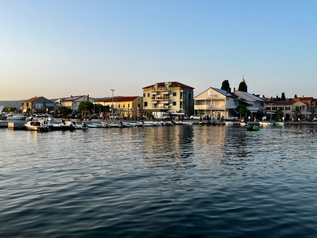
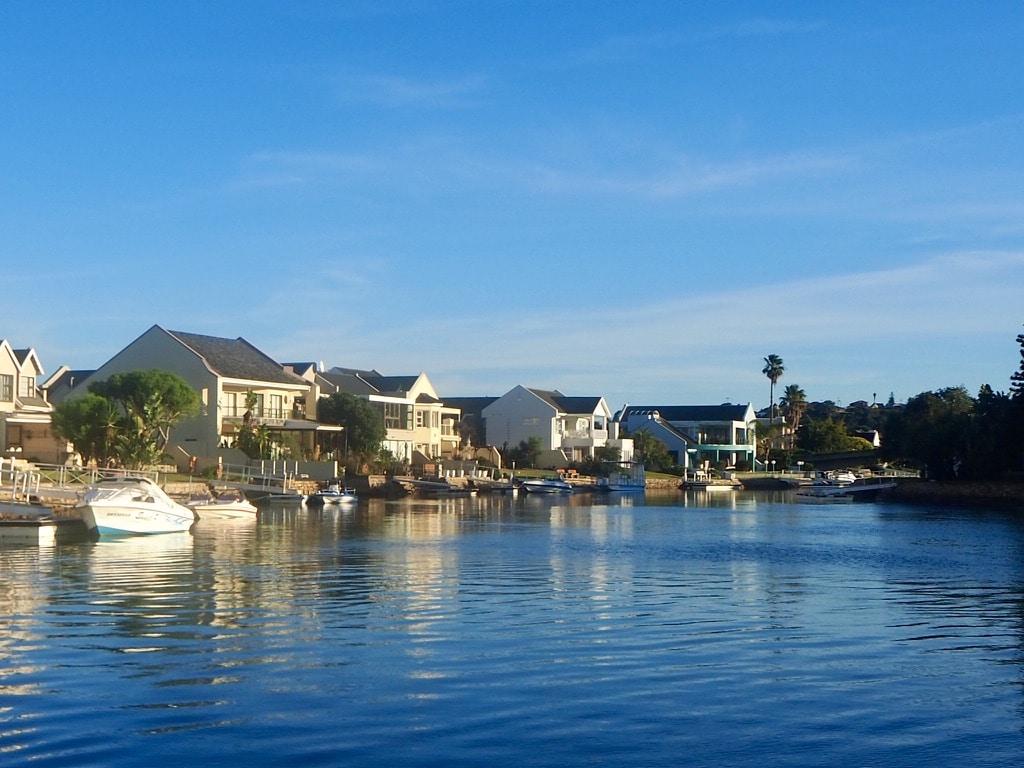
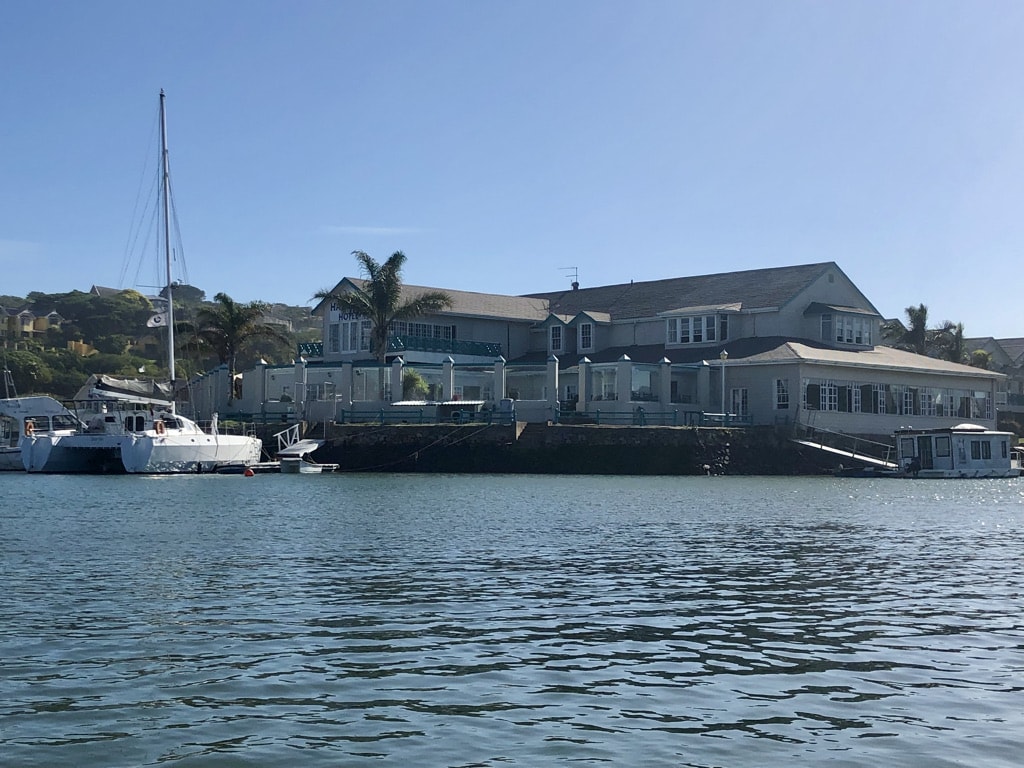
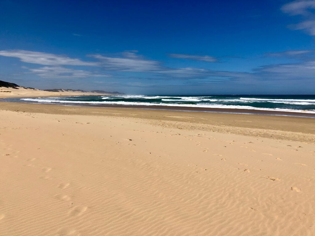
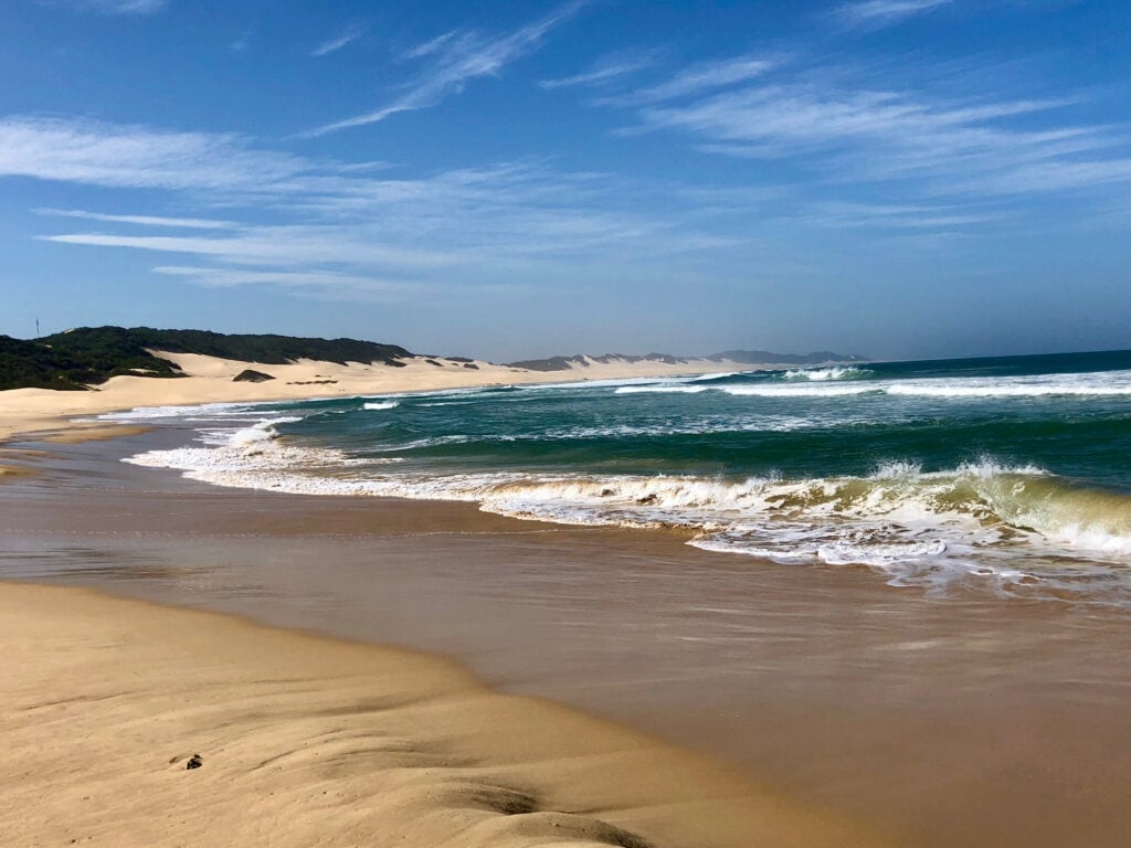
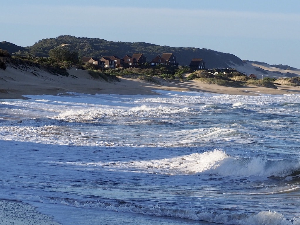
Port Alfred
Morgan Bay – Port Alfred: 220km, 2hours 40min. Accesible without 4×4 vehicle.
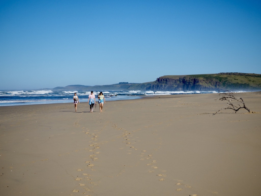
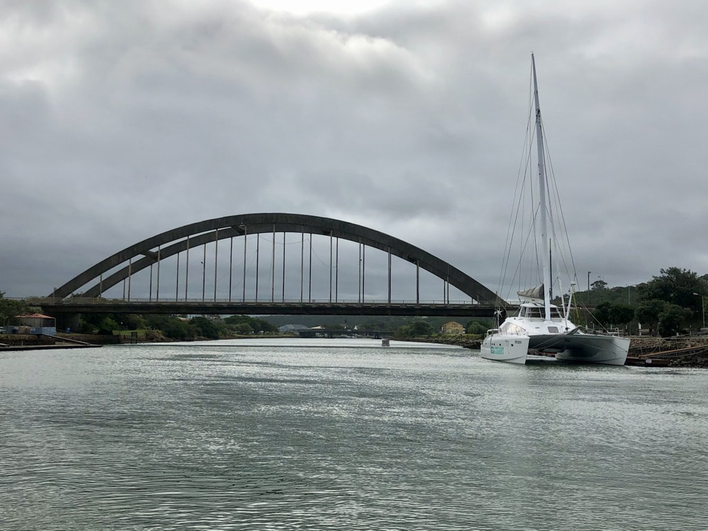
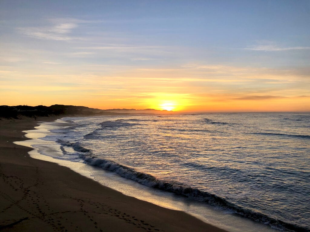
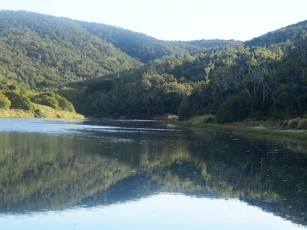
Situated on the Sunshine Coast it is a charming coastal town with the Kowie River winding through it and opening into the Indian Ocean. The town’s beautiful beaches make it a popular destination for beach lovers and surfers. Port Alfred also has a rich history, reflected in its historic architecture and landmarks. The Royal Alfred Marina adds a unique touch to the town, with its network of canals and waterfront properties.
Beaches
The pristine wide long beaches invite you to take a long walk while enjoying the sound of the ocean.
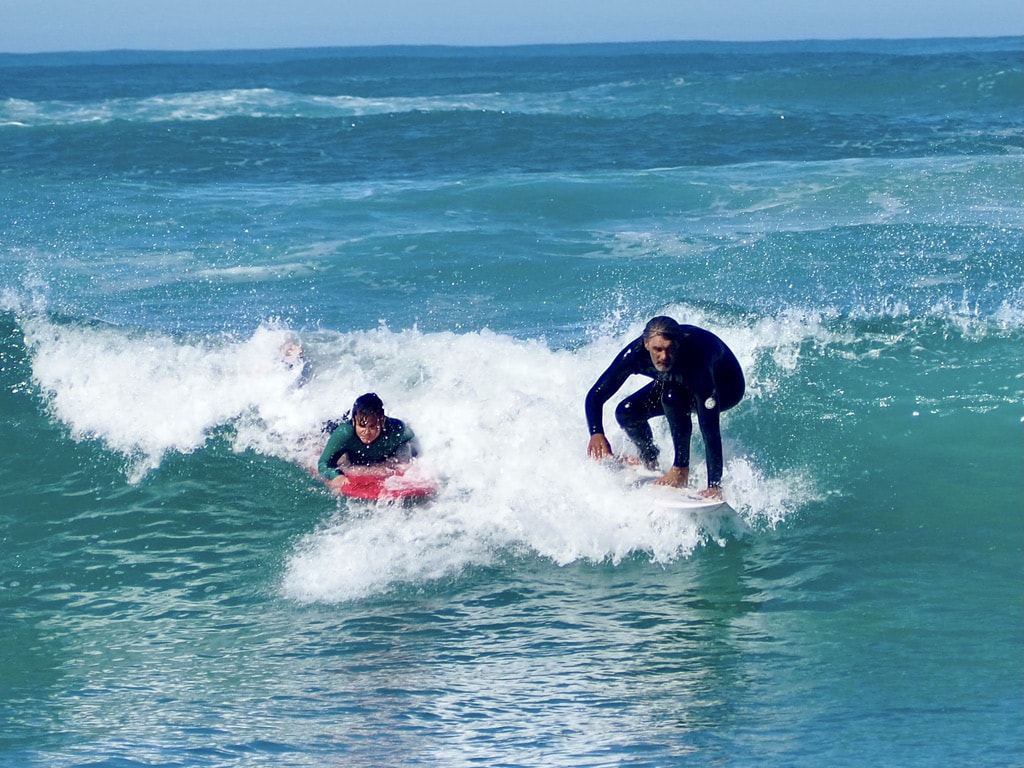
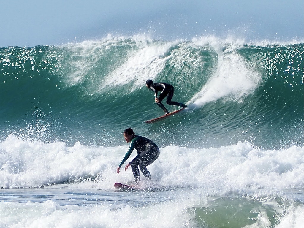
East Beach is liked by local surfers as the East Pier break is one of the most powerful in South Africa. There is a parking right at the entrance to the beach.
Kellys, the Blue Flag beach, is a place for beginner/intermediate surfers to enjoy the less powerful waves as well as for bodyboarders or swimmers to enjoy the ocean. Parking is right above the beach.
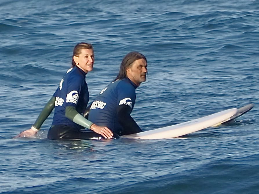
Surf School
The local Shaka Surf School is being run by David MacGregor, the multiple South African longboard champion surfer. I became a surfer myself thanks to David.
River activities
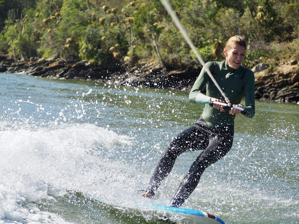
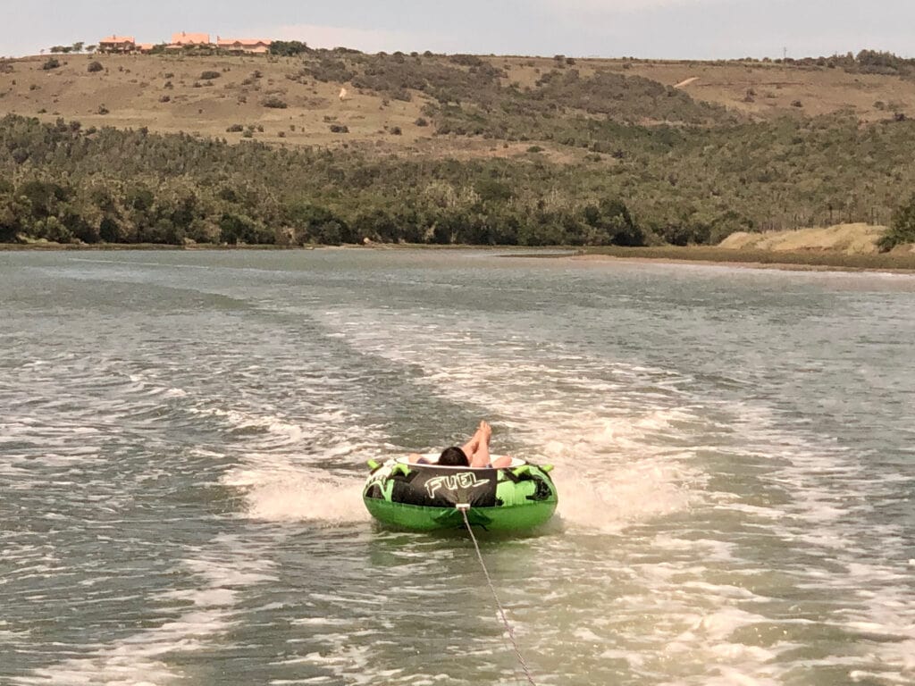
The Kowie river flows through the town, providing a fantastic place for activities like boating, canoeing, SUP paddle boarding, waterskiing, skurfing or fishing.
I can highly recommend a local business Outdoor Focus. Carey Webster and her team will get you sorted with any outdoor activity in Port Alfred.
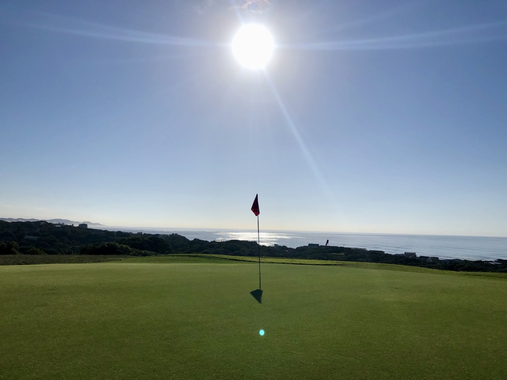
Golf
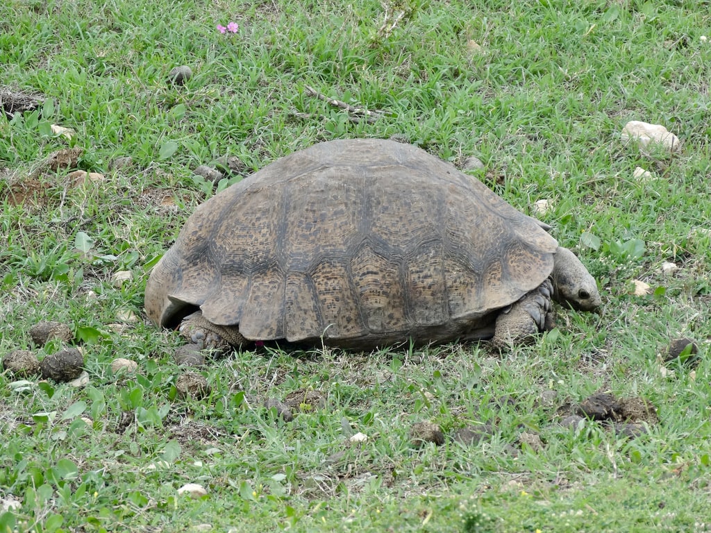
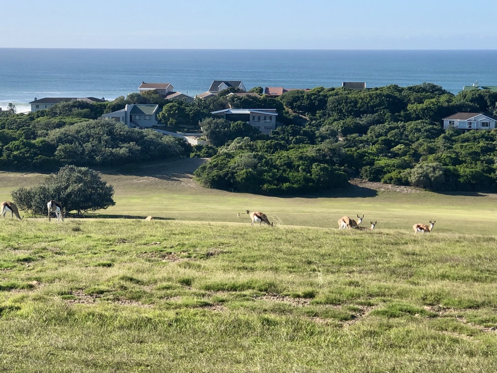
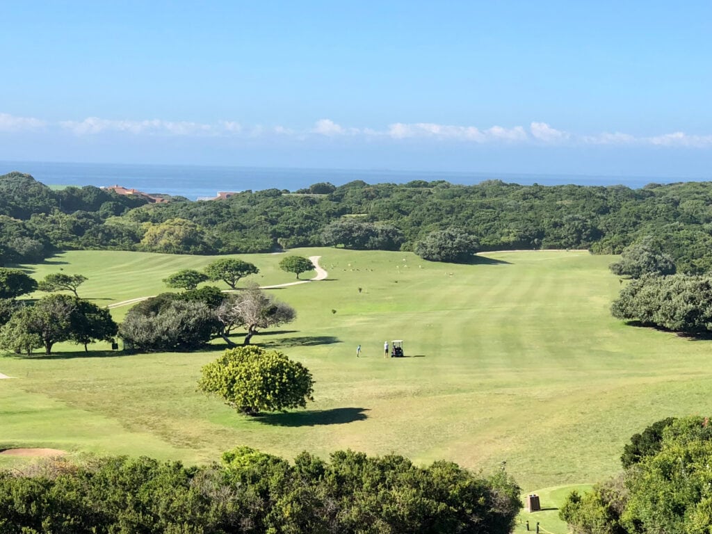
The Royal Port Alfred Golf Club is one of four golf clubs in South Africa that have been granted the right to use the “Royal” prefix. The club features well-maintained fairways and greens, complemented by coastal views. What I find unique about the golf course is the real nature touch – any time we play golf, we see antelopes scattered around munching on the grass or a tortoise crawling slowly around.
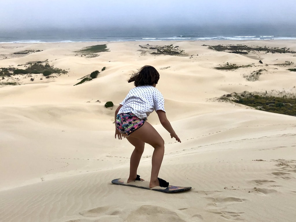
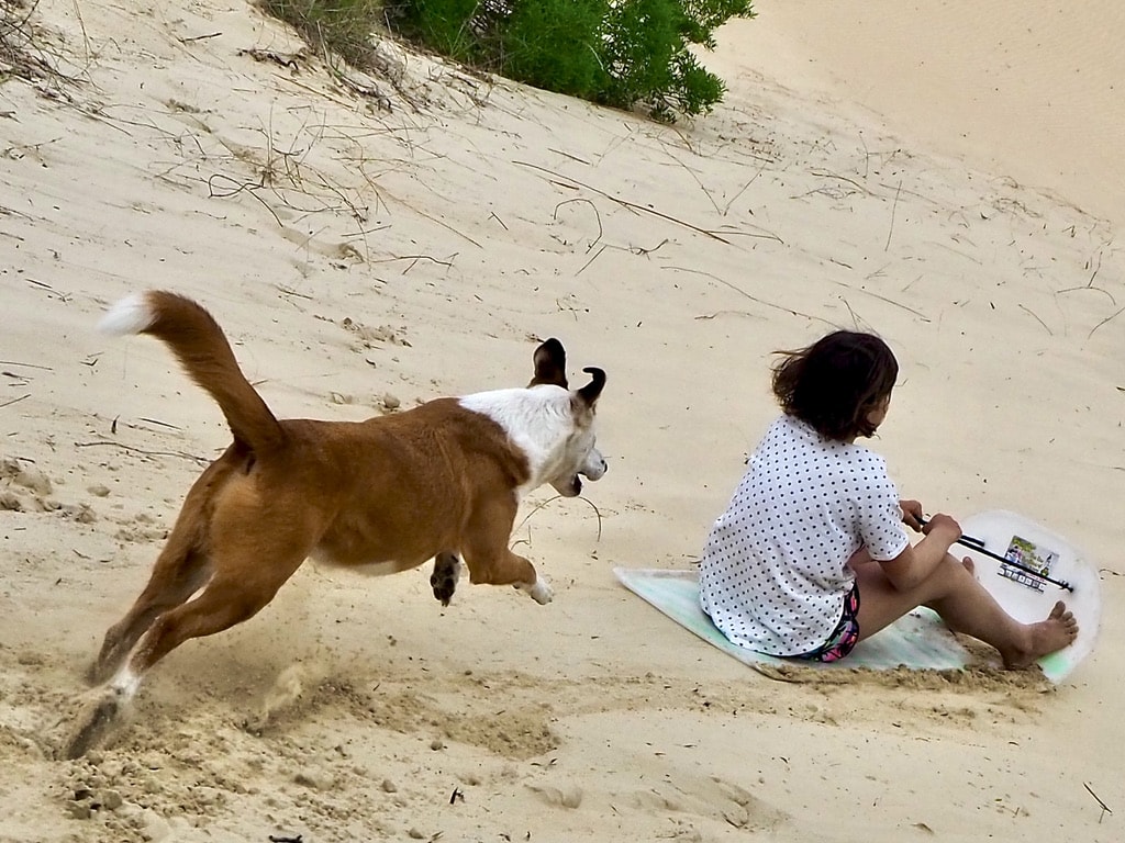
Sandboarding
The East Beach dunes are ideal for sandboarding activities, and a lot of fun for everyone.
Adventure Road trip in South Africa – last stretch
The drive from Port Alfred to the airport in Gqeberha (Port Elizabeth) will take approximately 1 hour and 45 minutes.
Wishing you a wonderful adventure road trip in South Africa! 🇿🇦