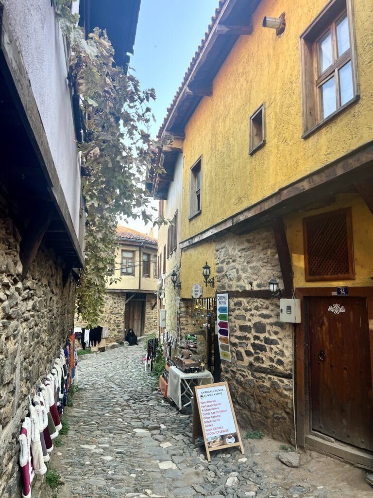
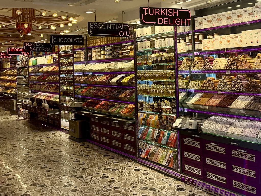
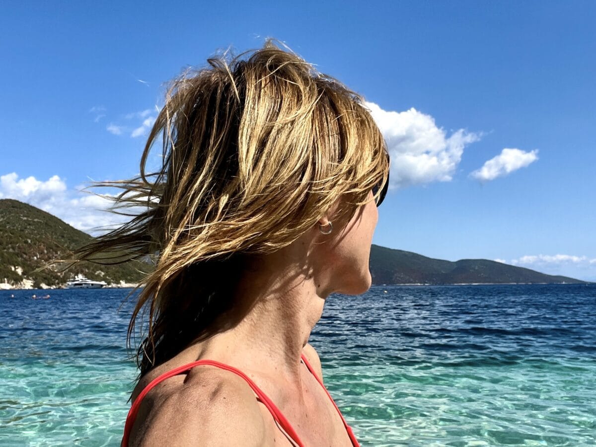
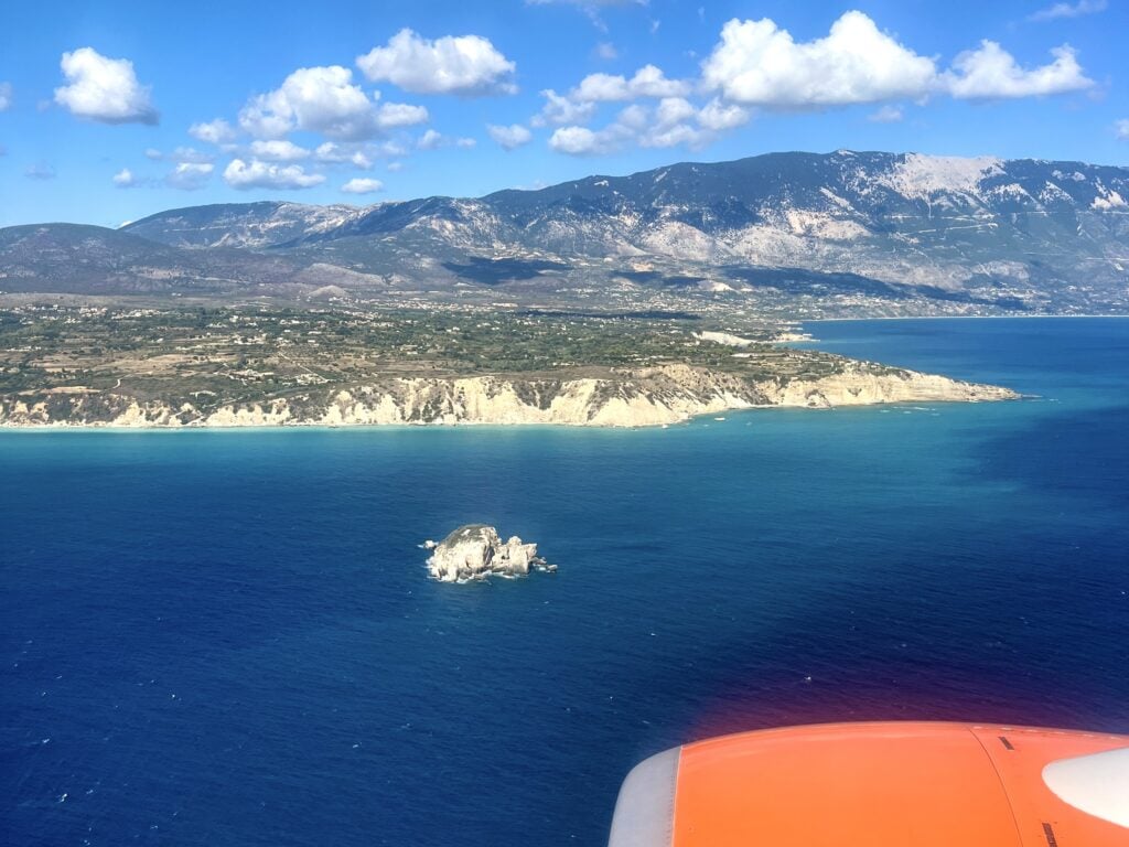
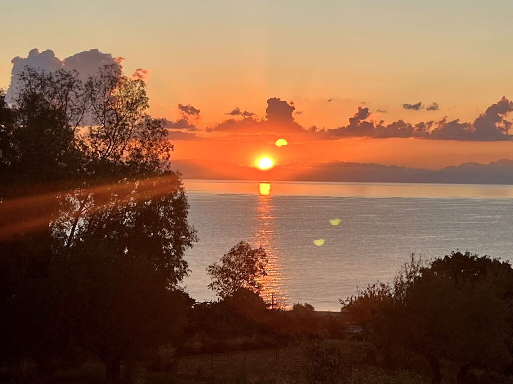
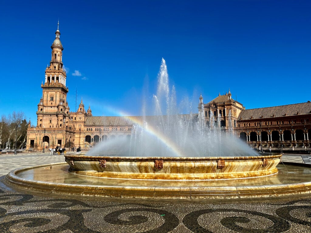
When September arrives, I start feeling the onset of autumn and begin searching for a place to soak up the last bits of summer. This year, I chose the Greek island of Kefalonia for a long weekend trip. Without much research, I quickly booked a flight. After a brief glance at some information, I also reserved accommodation in Skala and arranged a rental car.
Then the exciting day of travel finally came. I landed in Kefalonia in the afternoon. The airport is small, and since I only had hand luggage, I breezed through to the exit in a flash. The same efficiency applied to the car rental process. When I arrived at the Budget car rental counter, everything was sorted in just 10 minutes. As my originally booked car wasn’t ready, I was upgraded to a fantastic, brand-new Volkswagen.
Table of Contents
Skala
The village of Skala is about a 55-minute drive from the airport. I chose to stay here because, according to the information I found, it has one of the best beaches on the island. Upon my arrival at Summer Sun Apartments, I was greeted by the owner, who kindly showed me around. The apartment is situated on a hill (as is the entire village), a short walking distance from the beach and about a 8-minute walk from the old village center.
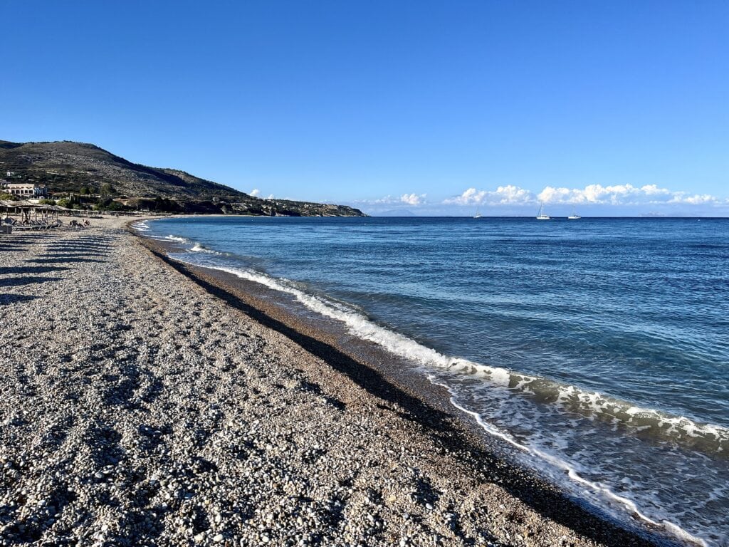
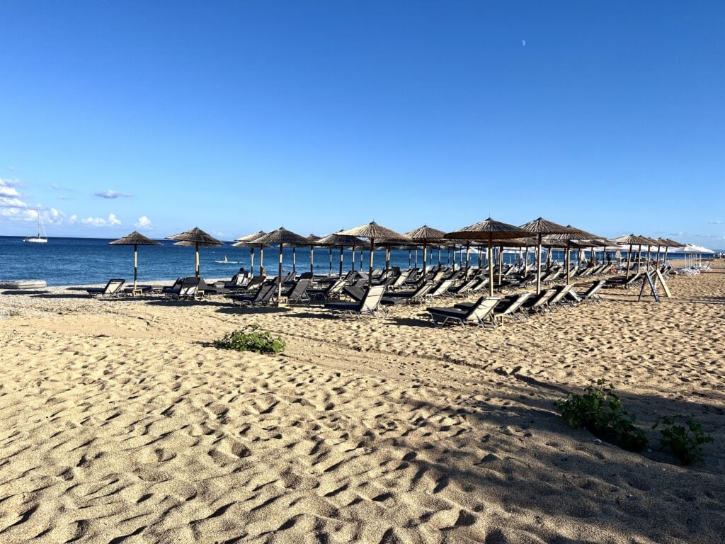
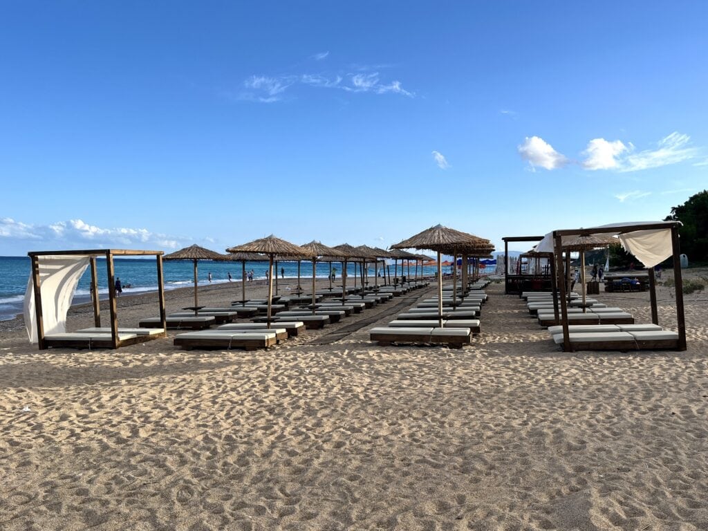
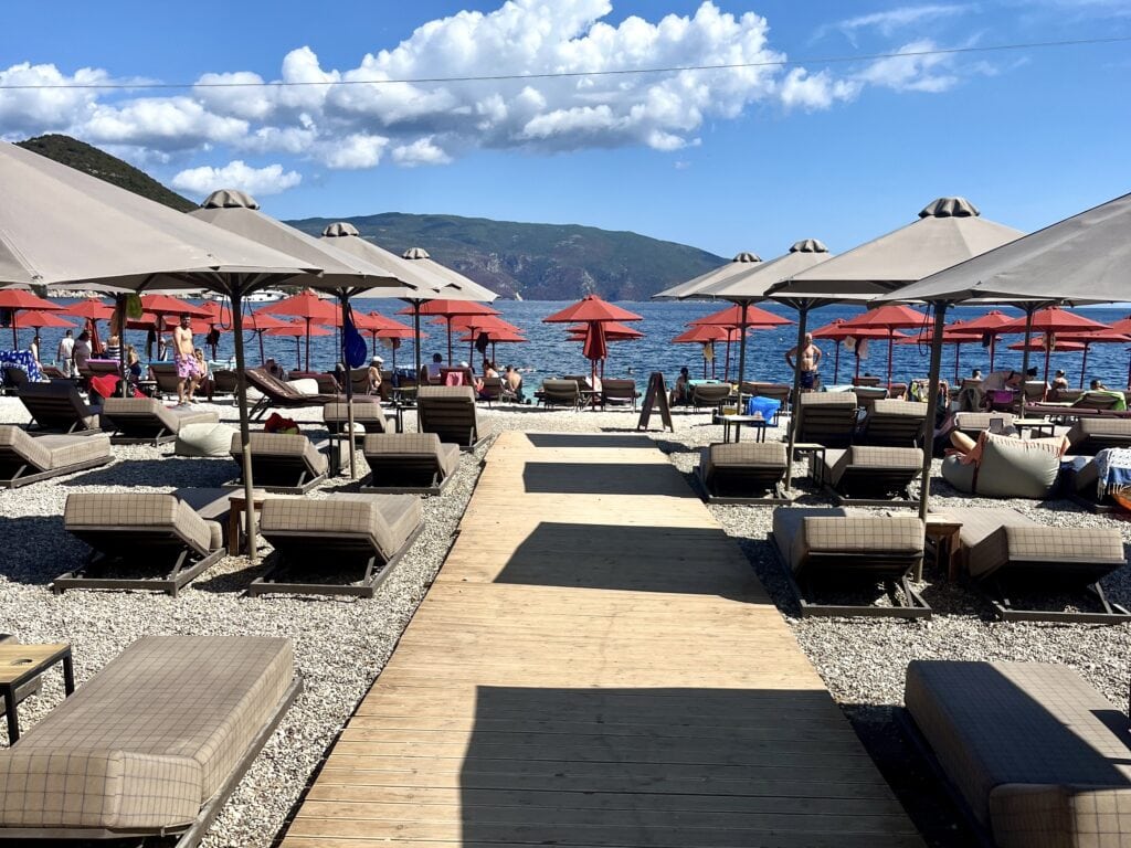
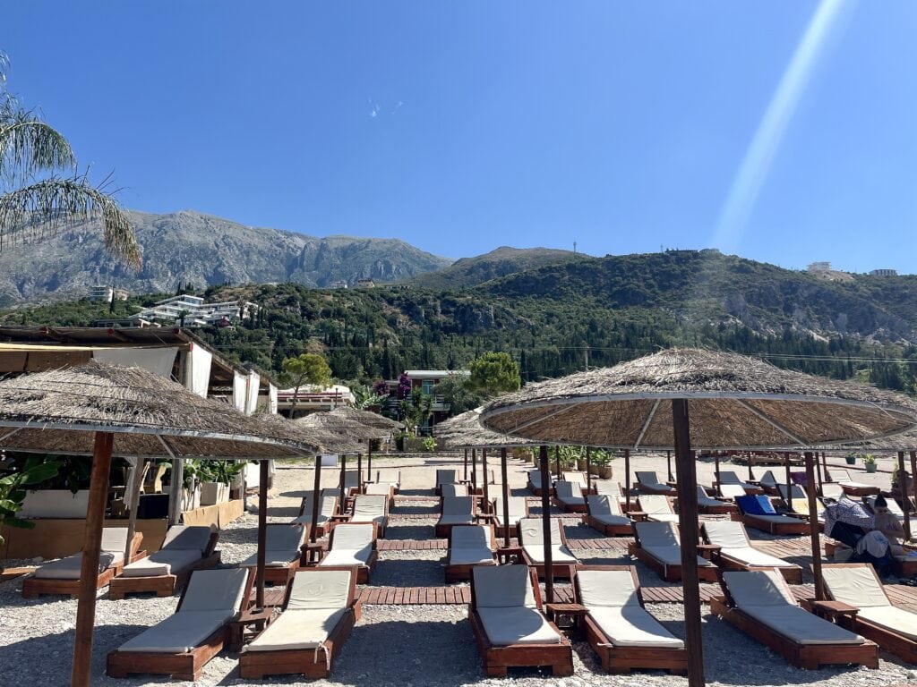
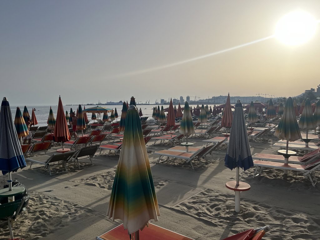
As soon as I settled in, I took a walk on the beach. It’s a long, beautiful pebble beach with clear blue water. You can rent chairs and umbrellas, but there’s also plenty of space for those who prefer to spread out their own towels.
There is one downside, though, which might matter to me but not necessarily to others: the beach is separated from the bars and restaurants by a road. This means it’s not like a closed-off beach bar area where you can enjoy chairs, a bar, a shower, and a toilet all in one spot. To access these facilities, you have to cross the road and navigate through traffic.
The village of Skala itself is a lively place, as are most beach resort towns, with plenty of taverns and souvenir shops to explore and enjoy.
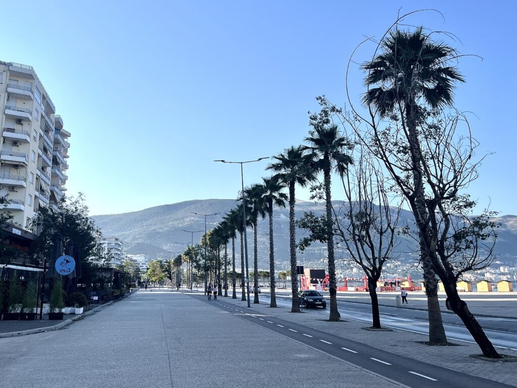
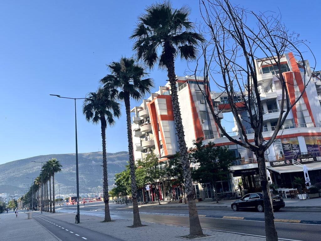
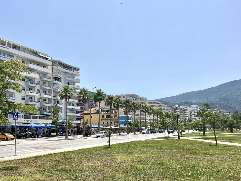
Skala beachSkala beachSkala beach
Melissani Cave
Melissani Cave is one of the top recommended places to visit in Kefalonia, so it was high on my list to start my exploration. The cave is about a 50-minute drive from Skala. Although the distance is only 40 km, it’s an island, and island roads tend to be winding. The scenic drive offers beautiful views of the Ionian coastline, passing through small villages along narrow, sometimes winding roads.
The roads weren’t busy, at least in mid-September, but be prepared—you might end up behind a car whose driver is either admiring the beauty of the island a little too much or simply struggling with the winding roads. This can be a bit frustrating, as there are stretches where overtaking is impossible.
CostlineCoffee breakIonian sea
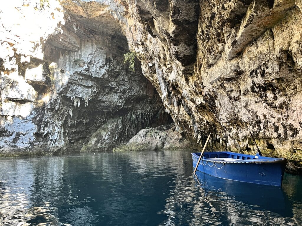
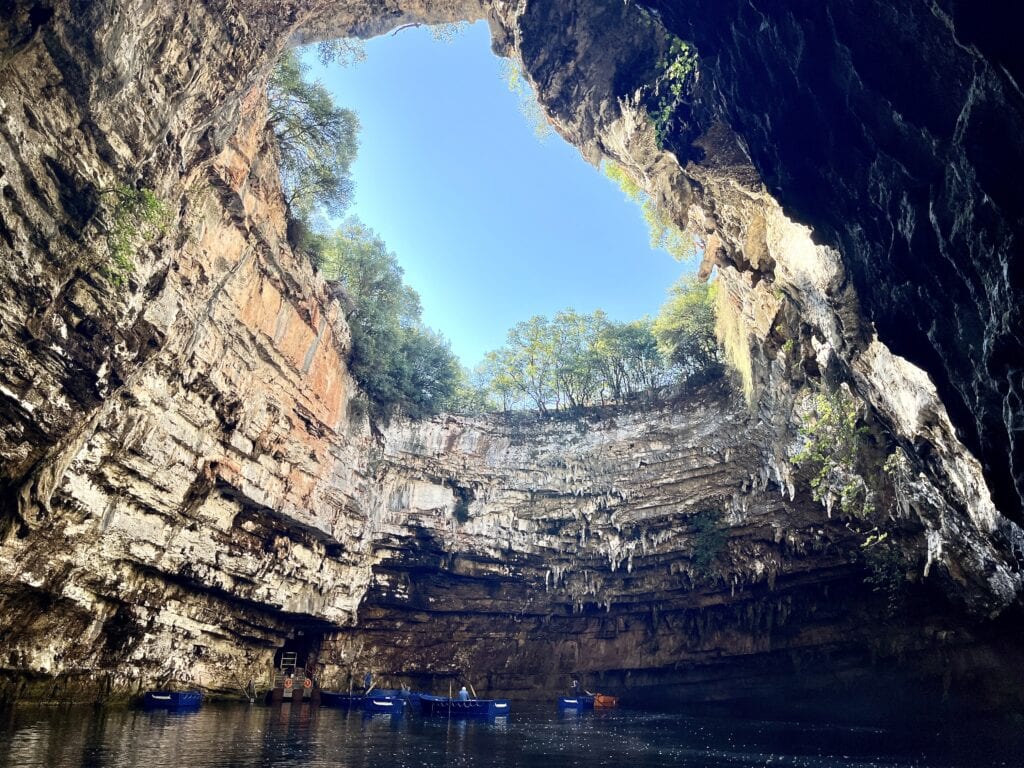
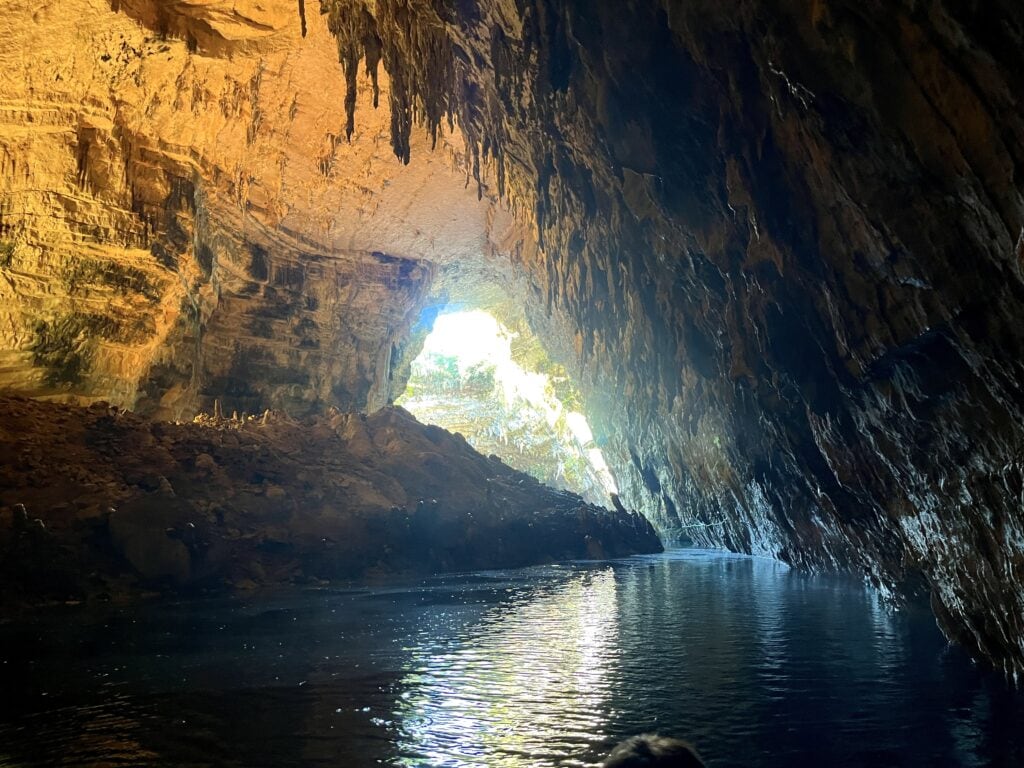
I arrived at the cave entrance around 10 a.m., and at that time, parking was easy, and there was no queue. I purchased my entrance ticket for 10 euros and followed the stairs down. At the bottom, I was helped into a small boat, right in the heart of the cave. The boatman rowed us around, and the whole experience lasted no longer than 10–15 minutes.
To be honest, I’ve visited much more interesting caves before. While it’s pretty, I wouldn’t call it a “wow” experience. What I also found a little strange was that the boatman quite literally expected everyone to tip him after rowing us around for 10 minutes. So, that sums up the cave experience for me.
Mellisani CaveMellisani CaveMellisani Cave
Myrtos Beach
I had originally planned to visit a nearby beach I randomly found on Google Maps after my trip to the cave. However, since the cave visit was so quick, I decided to continue on to the most recommended beach on the island—Myrtos Beach. About 30 minutes later, I was disappointed. I think my expectations were simply too high.
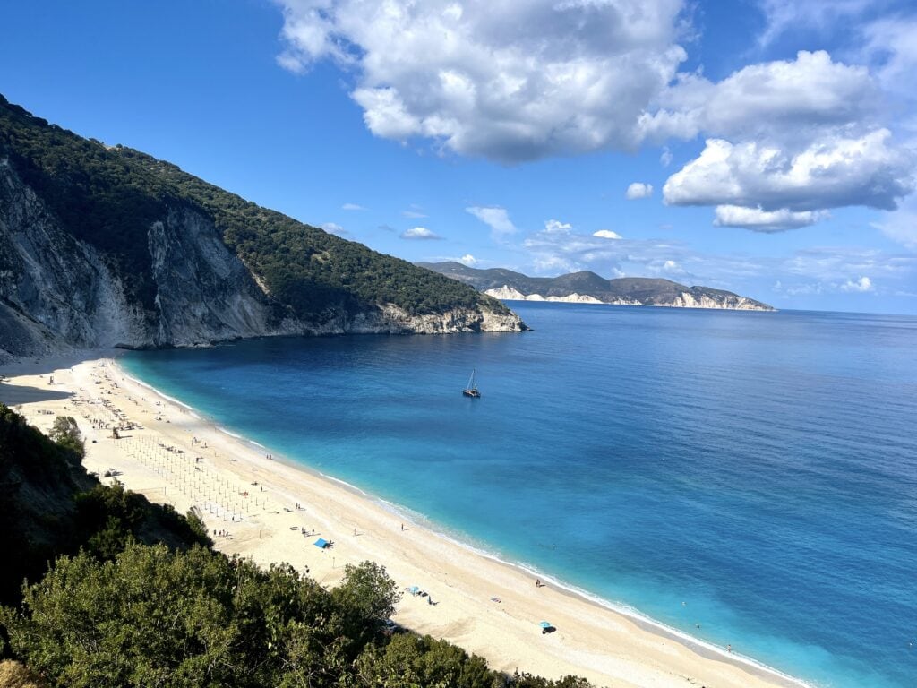
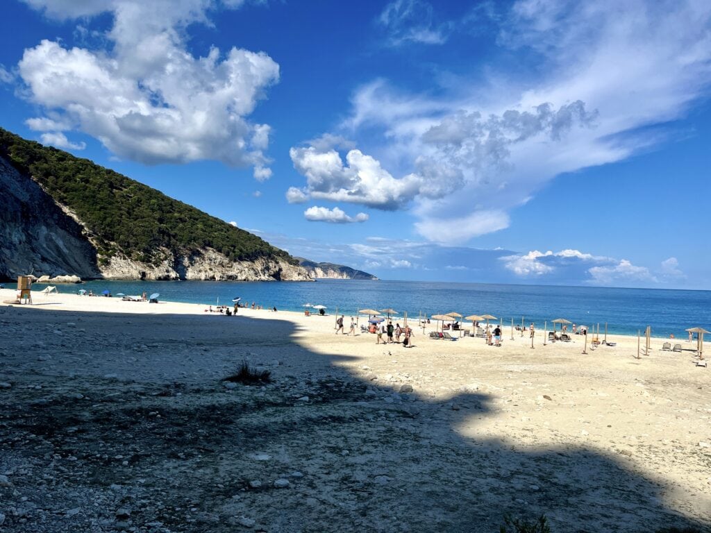
When I reached the top of the hill and started descending to the beach, I was blown away by the view. It’s absolutely stunning. The disappointment came, however, once I drove down the steep, winding road. The beach itself is sandy and quite long, and the sea is undeniably beautiful. But the facilities left much to be desired.
For some, it’s perfectly fine to just lay down a towel and enjoy the simplicity of the beach, but I had expected a beach like this to have better amenities—maybe a nice beach bar, proper toilets, and showers. In reality, there were only some basic plastic chairs for rent, a beach shower, and Toi Toi portable toilets. There was also a small stand where you could presumably buy a drink, but I didn’t even bother to check it out.
So, after taking a few photos, I decided to head back to the beach I had originally intended to visit after the cave.
Myrtos BeachMyrtos beach
Antisamos Beach 🧡
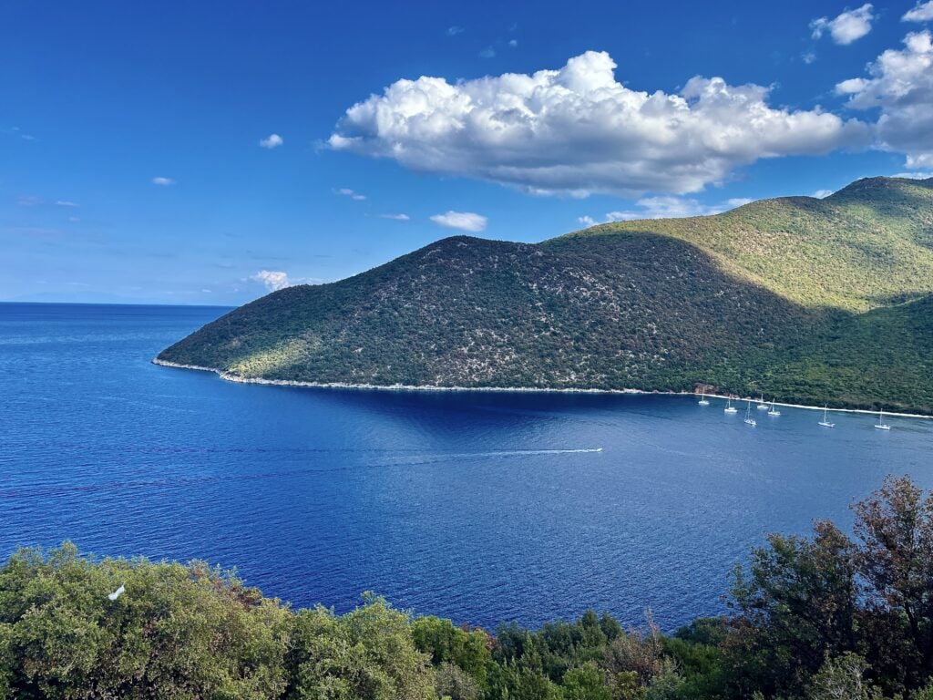
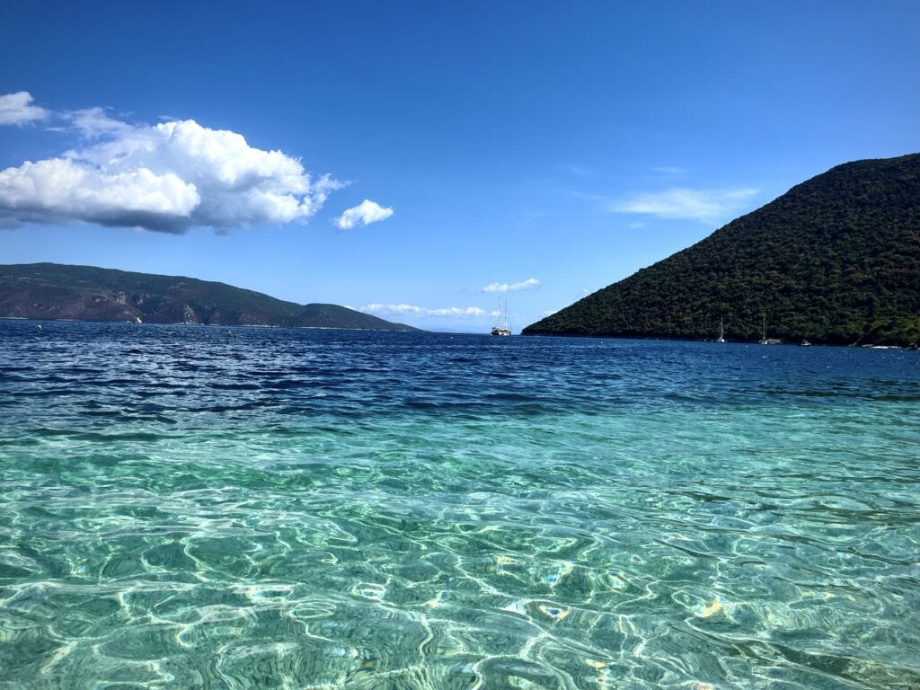
The absolute highlight of my stay in Kefalonia! This is the best beach I found, and I ended up driving there every day. It’s located near the village of Sami, and if I were to return to Kefalonia, Sami would be the village I’d choose to stay in.
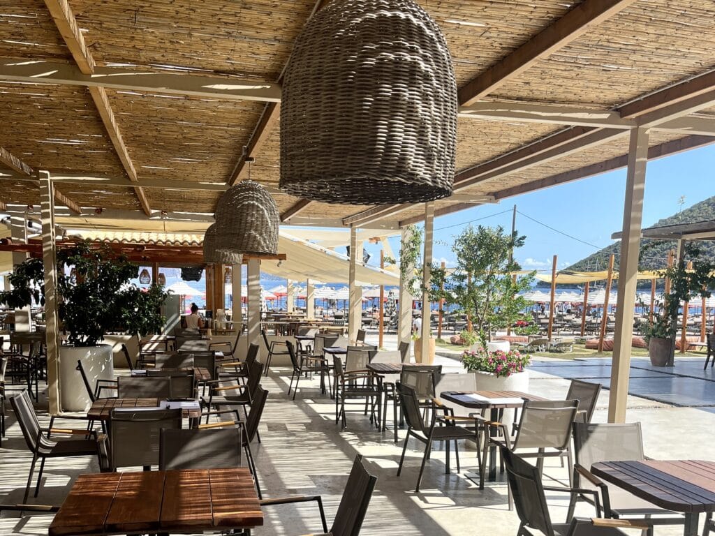
The beach is surrounded by mountains and offers the facilities I love—beach bars with chairs, drinks, and toilets. My favorite spot was Acron Beach Bar, and I stuck with it throughout my stay. I enjoyed lounging on a chair under an umbrella, swimming in the crystal-clear sea, and having drinks and food brought to me whenever I felt like it.
Me, Ivča, on the beachAcron Beach barAcron Beach bar chairs
The beach also has a water sports center where you can try various fun activities. Since I had never ridden a jet ski before, I chose that—and it was so much fun! It definitely added to the great vibe of Antisamos Beach.
Jetski fun
Fiskardo
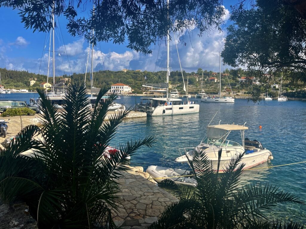
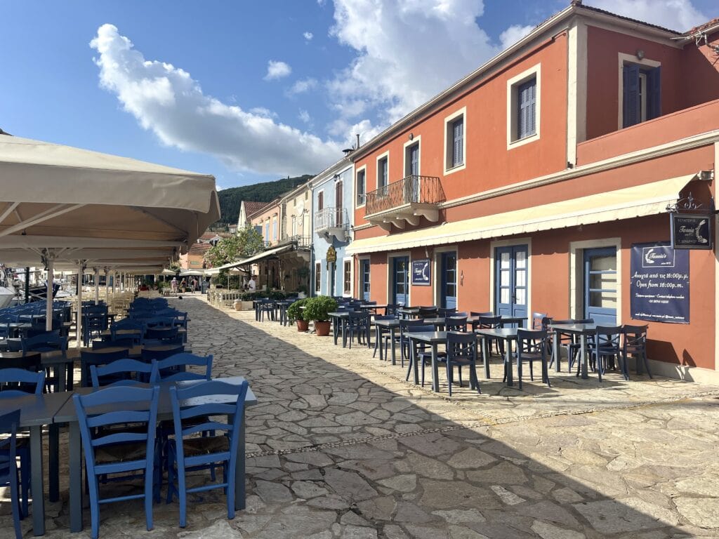
The next day, I decided to explore the other side of the island and drove from Skala to Fiskardo. Although the distance is only 75 km, it took me about 1 hour and 45 minutes to get there. The drive, once again, is very scenic and offers great views of the island. Fiskardo is a small village with everything centered around the harbor.
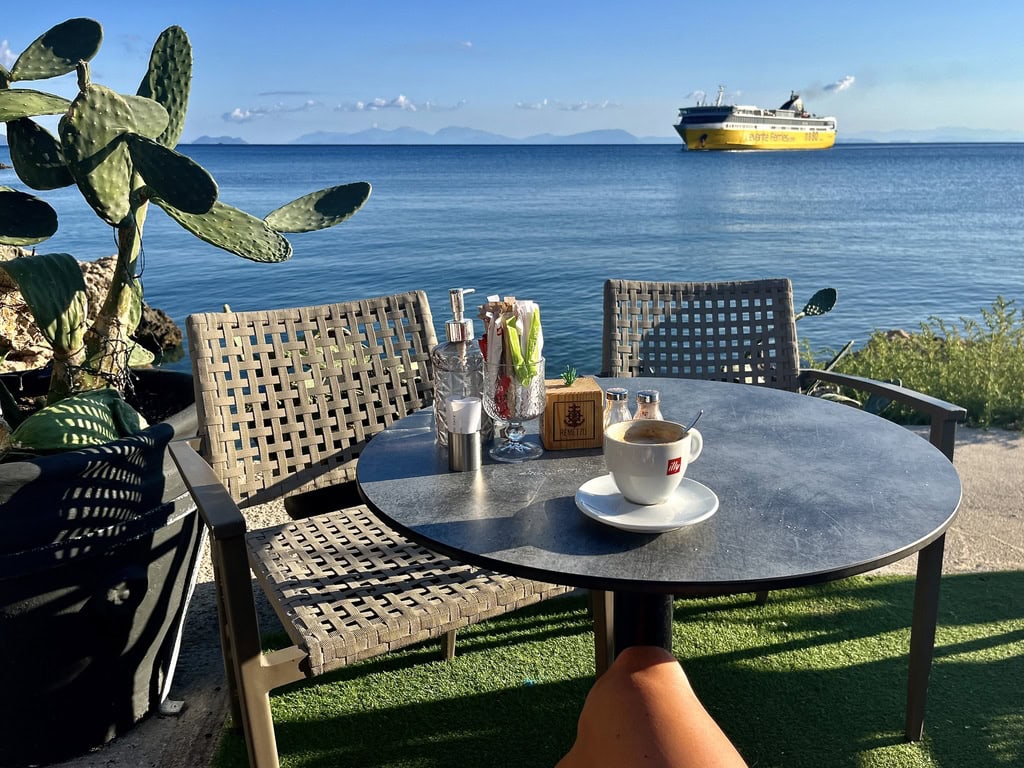
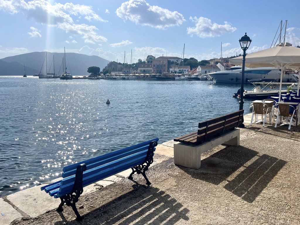
I found a parking spot at the entrance to the village, though this was mid-September, so it might be trickier during the high summer season. I walked towards the harbor and discovered a charming spot with many coffee shops and restaurants. I sat in one, enjoying a coffee and a delicious milk cake, soaking in the relaxed vibe of the place.
After about an hour and a half, I got back into the car with the intention of driving to my favorite beach. However, a storm hit as I was nearing Assos, a turn I might have otherwise missed!
View of the harborCoffee shopsWaterfront
Assos
As the rain started, I figured, why not take the turnoff, drive to the village, and enjoy a cappuccino while waiting for the storm to pass? I’m glad I did. I parked right at the entrance to the village and had to wait about 10 minutes in the car as the rain poured down. I could see the clouds moving, so I knew it wouldn’t last long. I was right—10 minutes later, the rain stopped, and the sun came out.
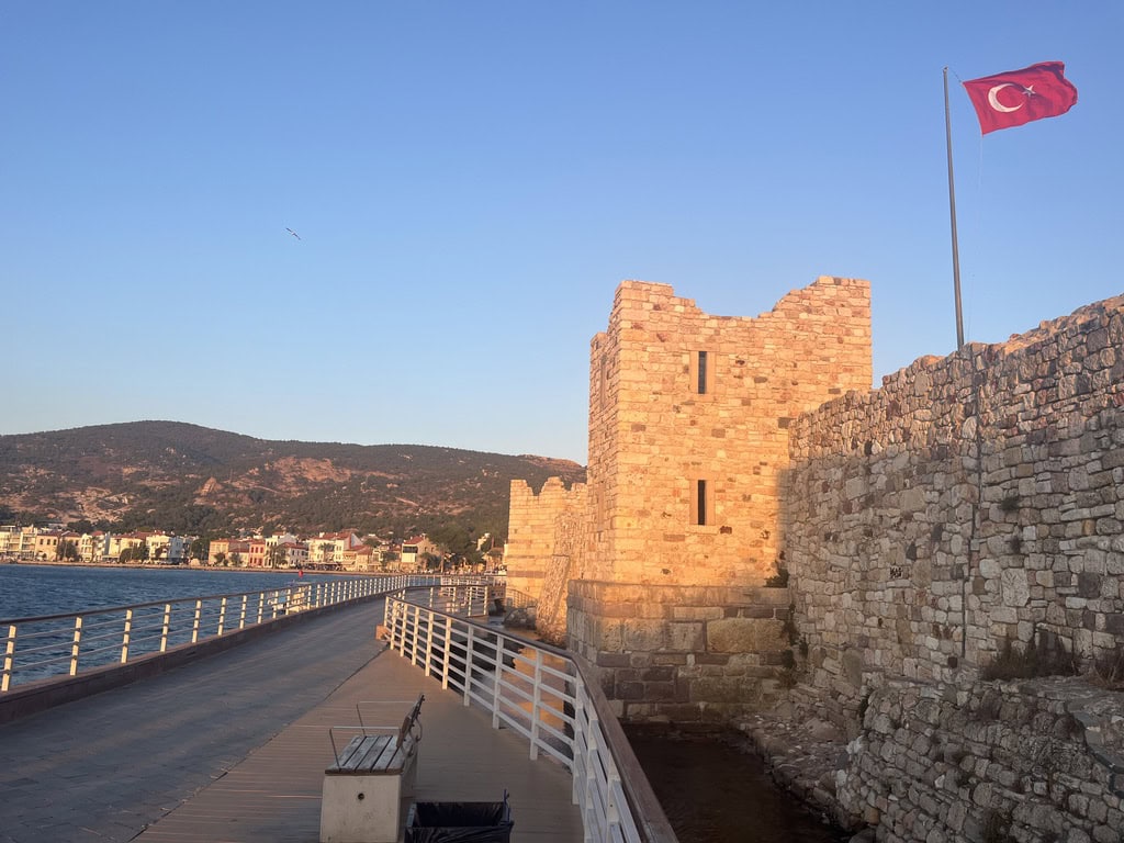
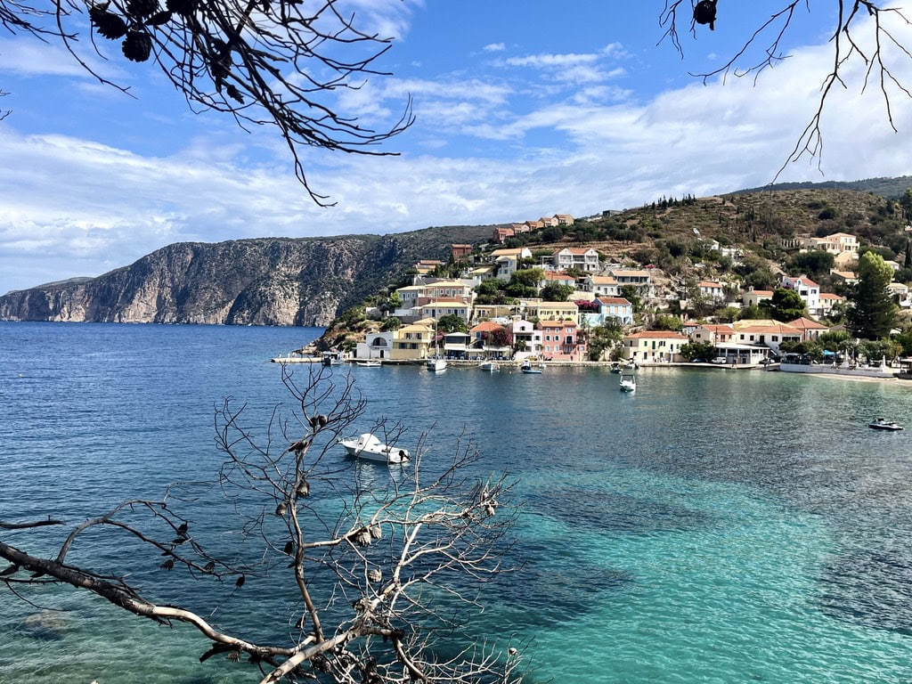
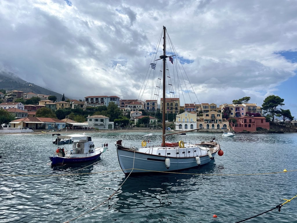
I walked to the center of the village, which, like Fiskardo, is centered around a small harbor. I was truly amazed—I think I liked Assos even more than Fiskardo. It’s colorful, vibrant, and full of charm. There’s also a castle overlooking the village. I started along the path leading up to the castle and took some photos along the way.
Surprisingly, I didn’t make it all the way to the castle, which is unusual for me because I love castles. But it was just after lunchtime, and after the storm, the weather became really hot and sunny. So, I decided to skip the castle this time and head to the beach, as I had originally planned.
View of AssosAssos harbour
Argostoli: end of my long weekend trip
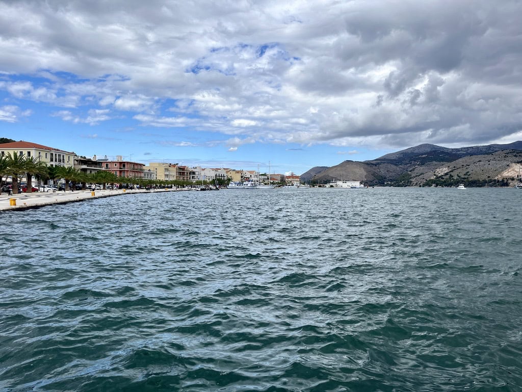
On my last day in Kefallonia, I packed up and decided to head from Skala to Argostoli for a short walk and lunch before returning the car and catching my flight. Unfortunately, I didn’t have much time to explore the city, and since it was a Sunday, everything seemed to be closed anyway. So, I strolled around the waterfront and found a nice restaurant to enjoy my last truly Greek meal.
In summary, I had a fantastic time in Kefallonia—sun, beaches, great food, and drinks. What more could you wish for?
Upon returning from the road trip to Albania in 2023, I instantly knew that I will do another road trip through Balkan. So I have instantly started to plan a new trip, allowing more time to visit the places I didn’t have time for previously.
This time around, I decided to spend some time in North Macedonia 🇲🇰, travel across Albania 🇦🇱, and visit Bosnia and Herzegovina 🇧🇦 on the way back.
Table of Contents
Day 1:Prague 🇨🇿 – Bratislava 🇸🇰 – Budapest 🇭🇺 – Belgrade 🇷🇸: 895km on highways
Having driven this route last year, I knew what to expect. It’s a pretty easy and straightforward drive with highways all the way. I bought the highway stamps online for Slovakia https://eznamka.sk/en and Hungary https://ematrica.nemzetiutdij.hu/en. Serbia uses toll gates where card payments are accepted, so there is no need for cash. Note: I have the yearly Czech highway stamp, but I here is the link to the official online shop https://edalnice.cz/en
Learning from my own mistake regarding accommodation, this time I found and booked an apartment right in the middle of Belgrade. The beauty of it is not only the walking distance to the main Belgrade square and street but also the secure parking. They charged me 20 EUR per day, but I am always prepared to pay for secure and guaranteed parking rather than trying to find a parking space on the street. Therefore, I can only recommend the Skadarlija Suites in Belgrade.
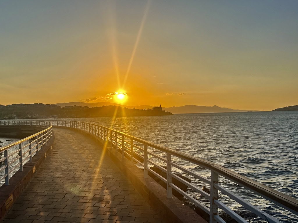
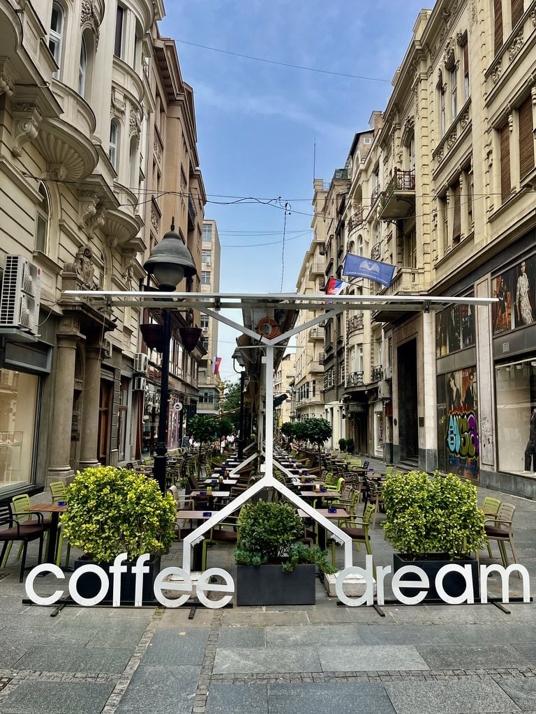
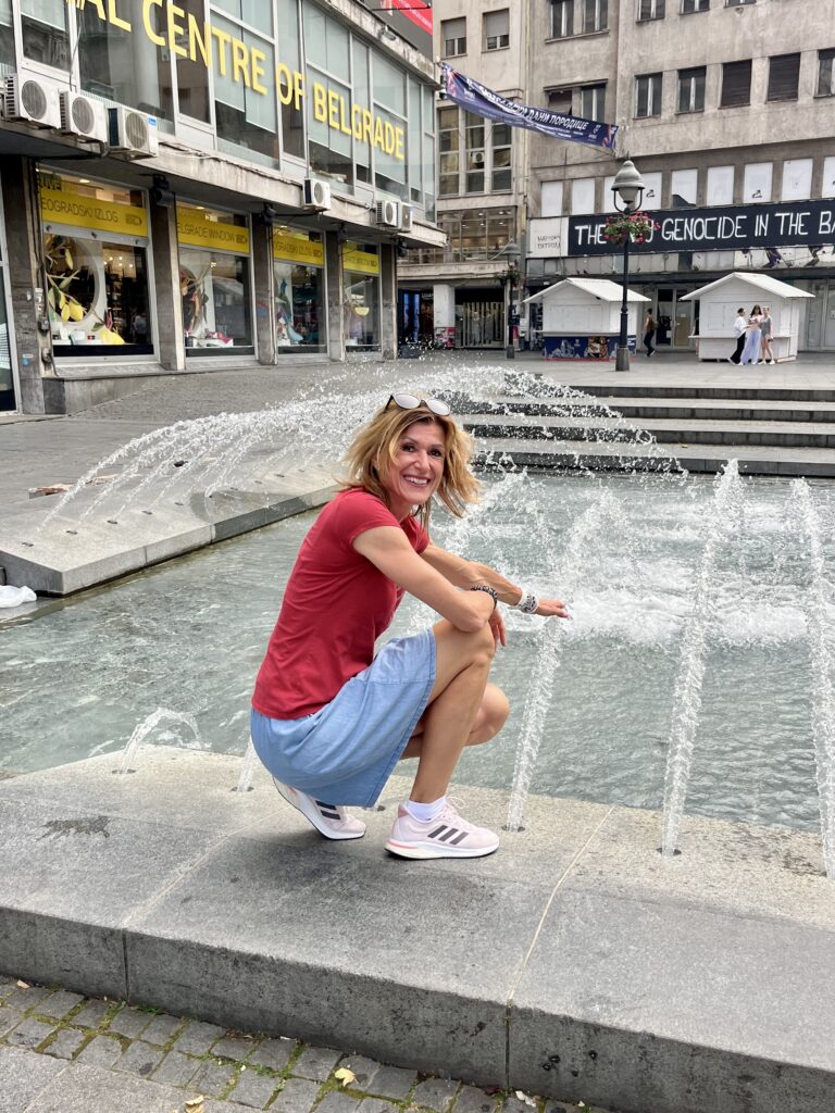
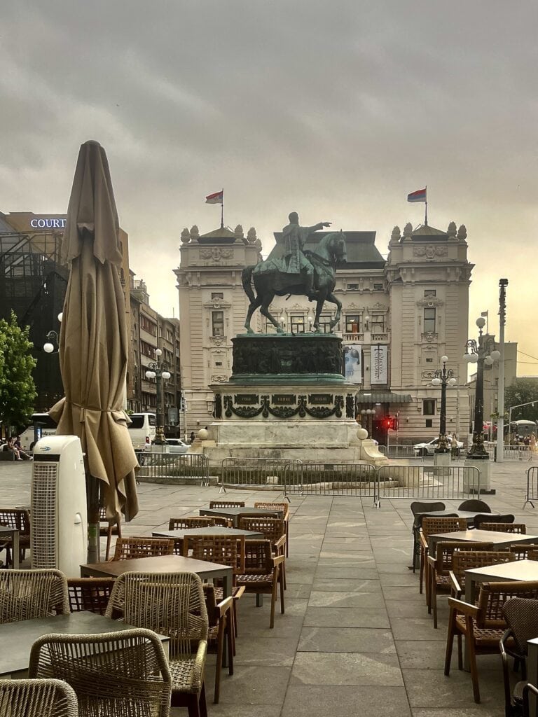
City center coffee shopIvčaRepublic Square
Day 2: Belgrade 🇷🇸 – Skopje 🇲🇰 – Ohrid 🇲🇰: 604km
We got up early to do as much driving for the day as possible without traffic. It took us about 5 hours to get to Skopje, including the border crossing between Serbia and N. Macedonia. We waited about 20 minutes at the border post, but it can be much longer, especially during the full holiday season.
There is a highway all the way between Belgrade and Skopje. N. Macedonia has got the toll gates as Serbia does. There was no need for the local money, I paid in Euro.
As with all my trips, I purchased the e-SIM for N. Macedonia from Airailo app (unfortunately, N. Macedonia is not part of the regional European e-SIM). I must admit, that the signal was not stable in parts of the country. It worked well in and around big cities, but for driving purposes, I had to use the car-installed navigation at times. The best tip is therefore to download offline maps for N. Macedonia, which I will definately do the next time.
Skopje
The capital city of N. Macedonia, is interesting. The new, highly decorative architecture, especially in the city center with many statues, makes it a truly unique place. The city center is pretty small and easy to navigate around.
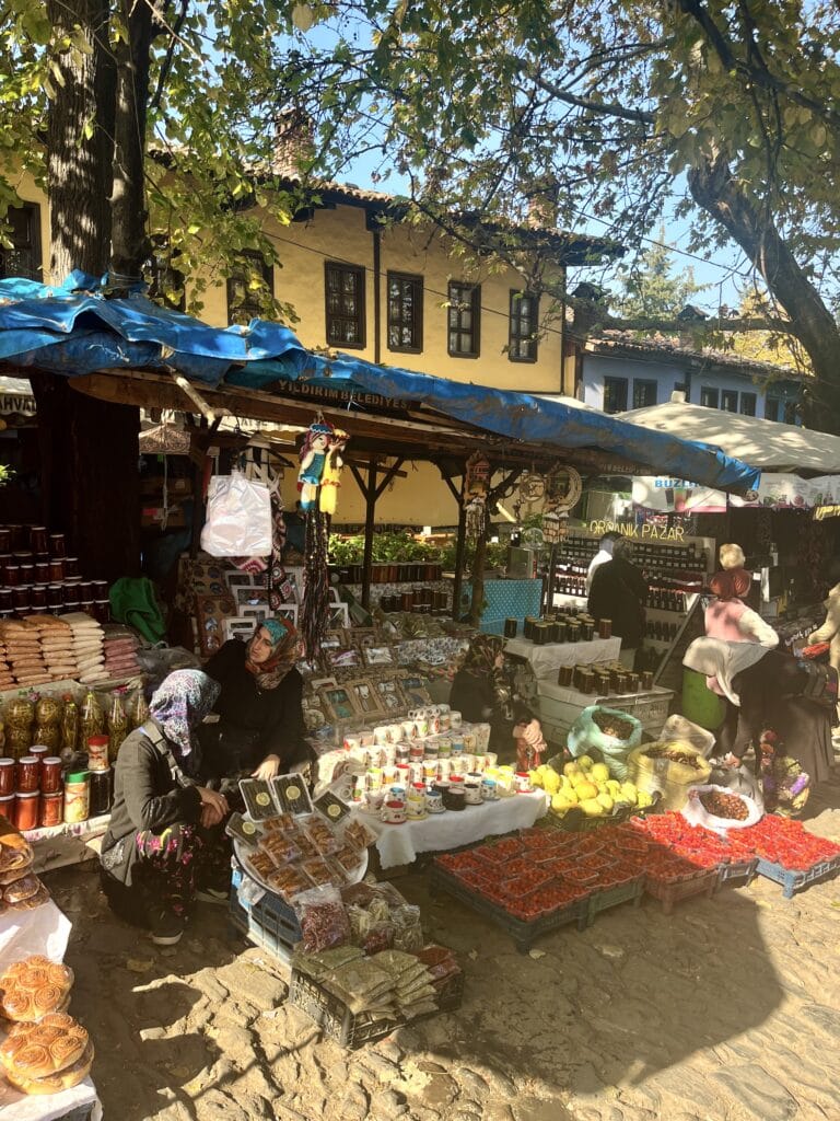
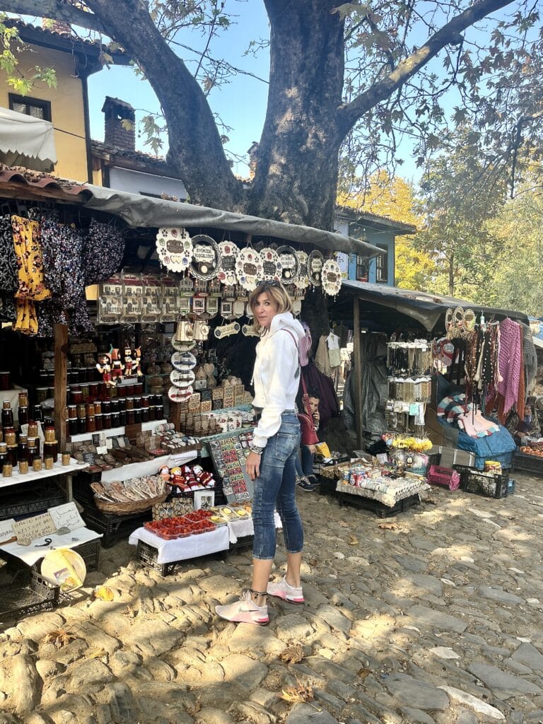
As always, I wanted to park in a secured parking place. I found the GTC garage and it seemed to be well-recommended. Upon arrival and only when I drove in, I realized it was not for public use (it seems it used to be, but not anymore). So do not make the same mistake! There was a parking place right opposite the garage on the street, so I decided to take it.
To my big surprise, the city was very quiet with only a few people around on Sunday.
Mother Teresa Memorial
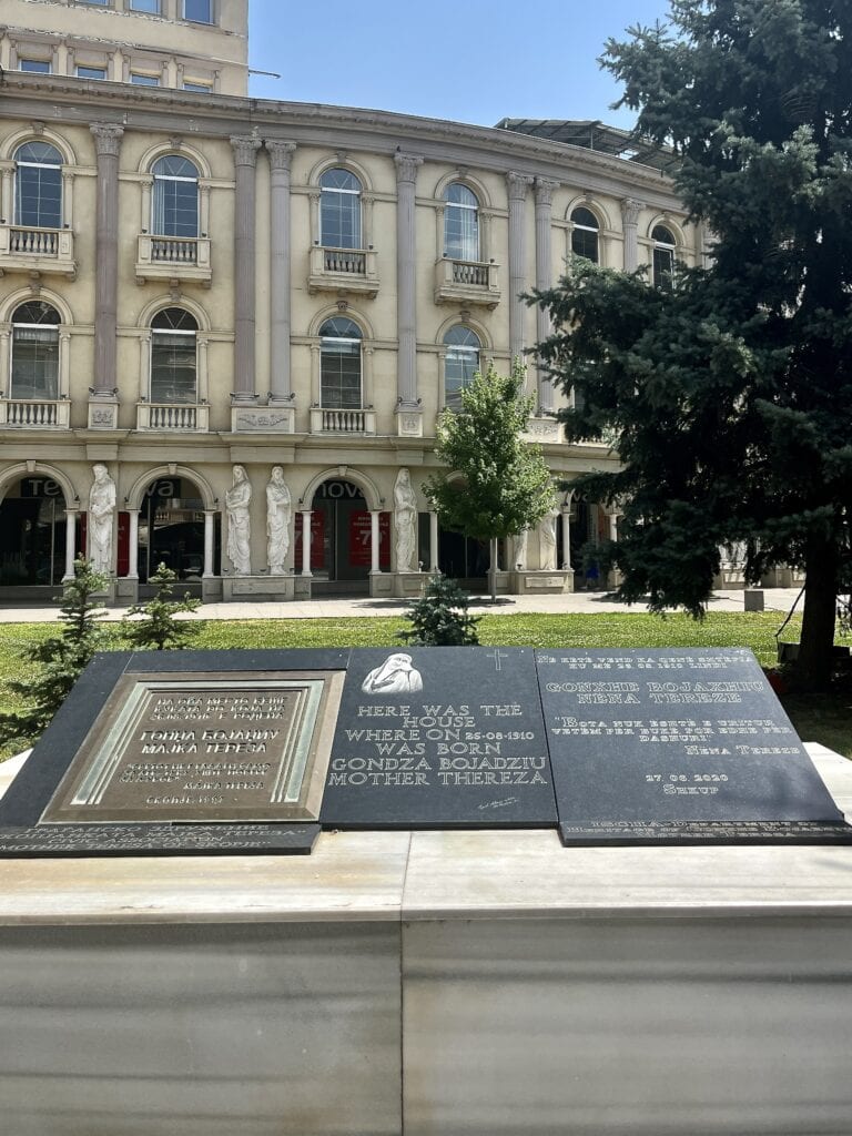
On the way to the main Pele square, we passed by a memorial plaque remembering Mother Teresa. She was born in Skopje to a family with Albanian predecessors. She dedicated her life and work to God. Her work has been appreciated around the world, earning her many prizes.
Pela Square
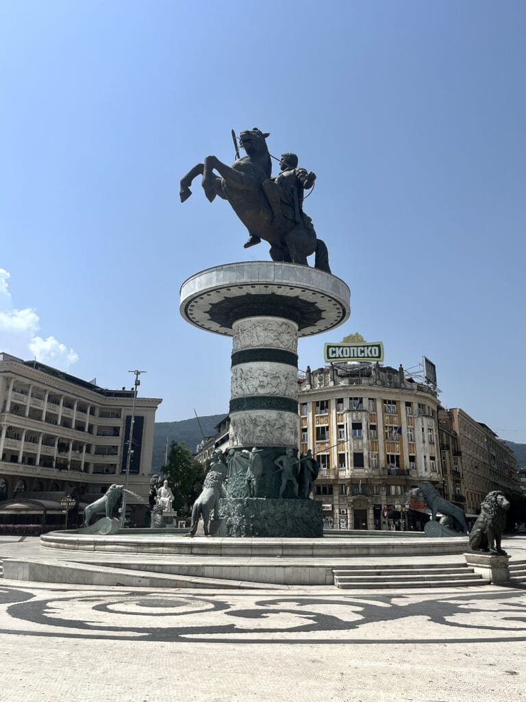
The main square and the heart of Skopje. The dominant sculptures are unmissable. It is a pedestrian zone and a great place to take pictures.
Old Stone Bridge
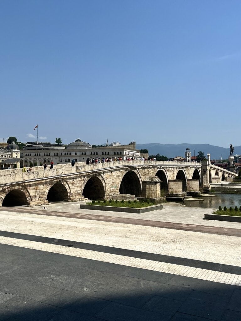
The 15th-century bridge over the Vardar River. Crossing the bridge provides a great view of the city, Pela Square, and leads to the Old Bazaar.
Mother Theresa memorialPela SquareOld Stone Bridge
Old Bazaar
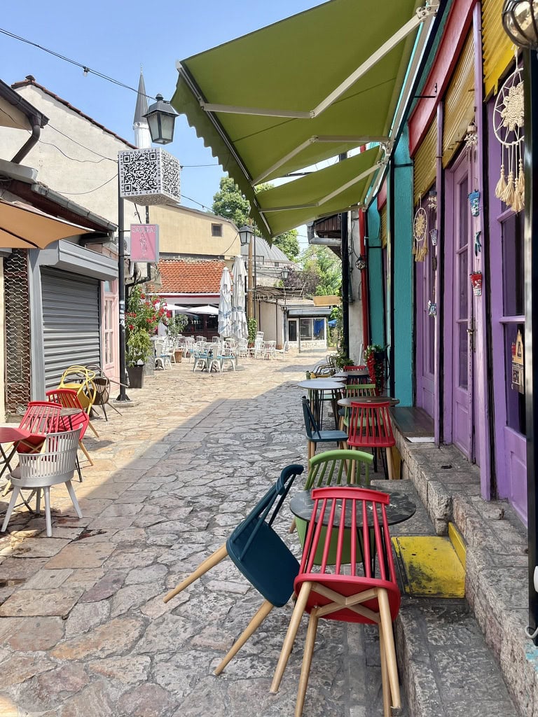
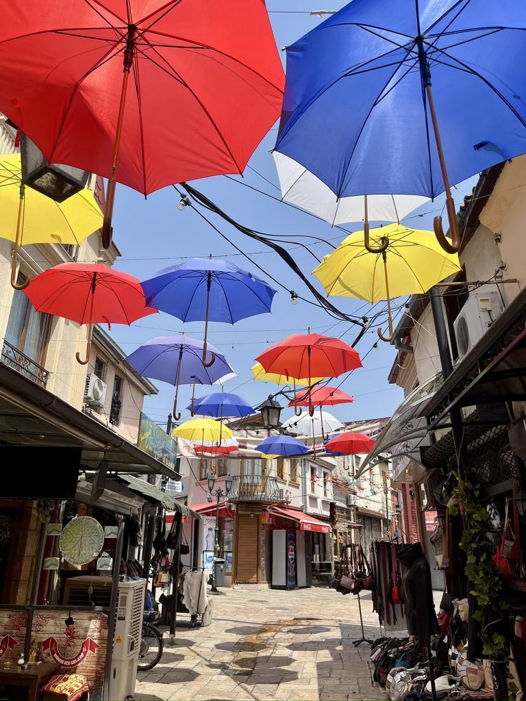
This was a highlight for me. Streets filled with shops, cafés, and bars have a special vibe. It is cool to just wander around and have a cool drink or a meal on a hot day.
Skopje Fortress
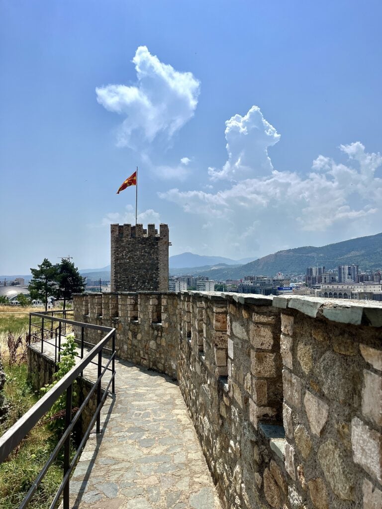
Located on the top of the hill, overlooking the city. We walked around the walls and took in the city view. It is free to enter and there isn’t much more to explore.
Old BazaarOld BazaarFortress
Leaving Skopje behind, we set off early in the afternoon to reach the final destination of the day – Lake Ohrid.
Lake Ohrid
The first part of the road from Skopje to Ohrid is on the highway. There were a few tolls on the way, every section was either 1 EUR or 0.5 EUR. The second half drives through the mountain valleys and passes, so expect some curves.
When I was looking for accommodation, I considered two options: either to stay directly in the city or in one of the hotel complexes outside with direct access to the beach and lake. I decided on the second option and it was the right choice for us. After the hot, long day, it was perfect to just put our luggage in the apartment and jump into the lake for a swim. The apartment I stayed in was Park Beach Apartment.
Day 3: Exploring Ohrid 🇲🇰
Ohrid is one of the largest cities in North Macedonia and it has a charm and history to it. We got up in the morning, took a short drive, and parked at Parking Centar. It is paid parking but right in the center, on the lake promenade. You can pay for the parking in Euros.
What I realized is that in N. Macedonia, they do accept Euros but usually return change in Macedonian Dinars (MCD). Therefore, it is good to keep small Euro notes and change – for example, for parking or renting beach chairs. Cards are pretty much accepted everywhere as well.
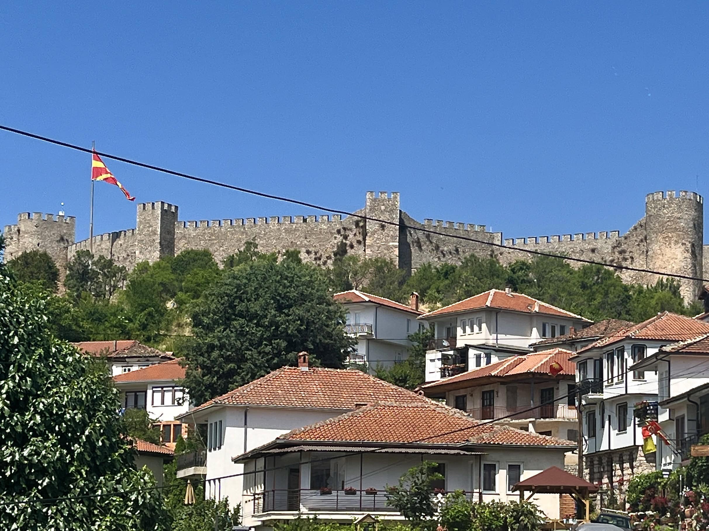
If I were to describe the old part of Ohrid city, it is charming with very narrow streets spreading from the lake up the small hill towards the fortress. We did a small round to see the key highlights.
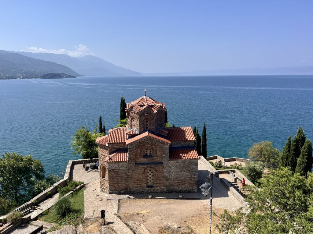
Church of Saint John the Theologian: An easy walk from the parking place through the narrow streets and alongside the lake. While walking toward the church, which is apparently one of the most photogenic and Instagrammable places in Ohrid, we passed by another important church.
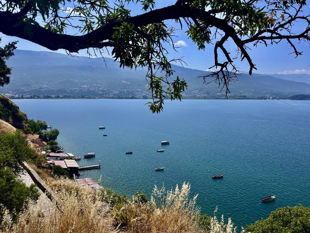
The Church of Saint Sophia. We looked from the outside only, but it is considered one of the most important monuments in the country. There was a big information board related to the church history to read. Once we reached the Church of Saint John the Theologian, we admired the really stunning views of the lake. Again, we decided not to visit inside. For reference, there is a fee to be paid to enter.
Path around Lake OhridChurch of Saint John the Theologian
Samoil’s Fortress: After taking pictures at the church site, we continued the incline towards the fortress. It is a bit of a walk through the pass, partially leading through the forest. We reached the fortress entrance only to unfortunately realize that it is not open on Mondays. Well, at least now you know.
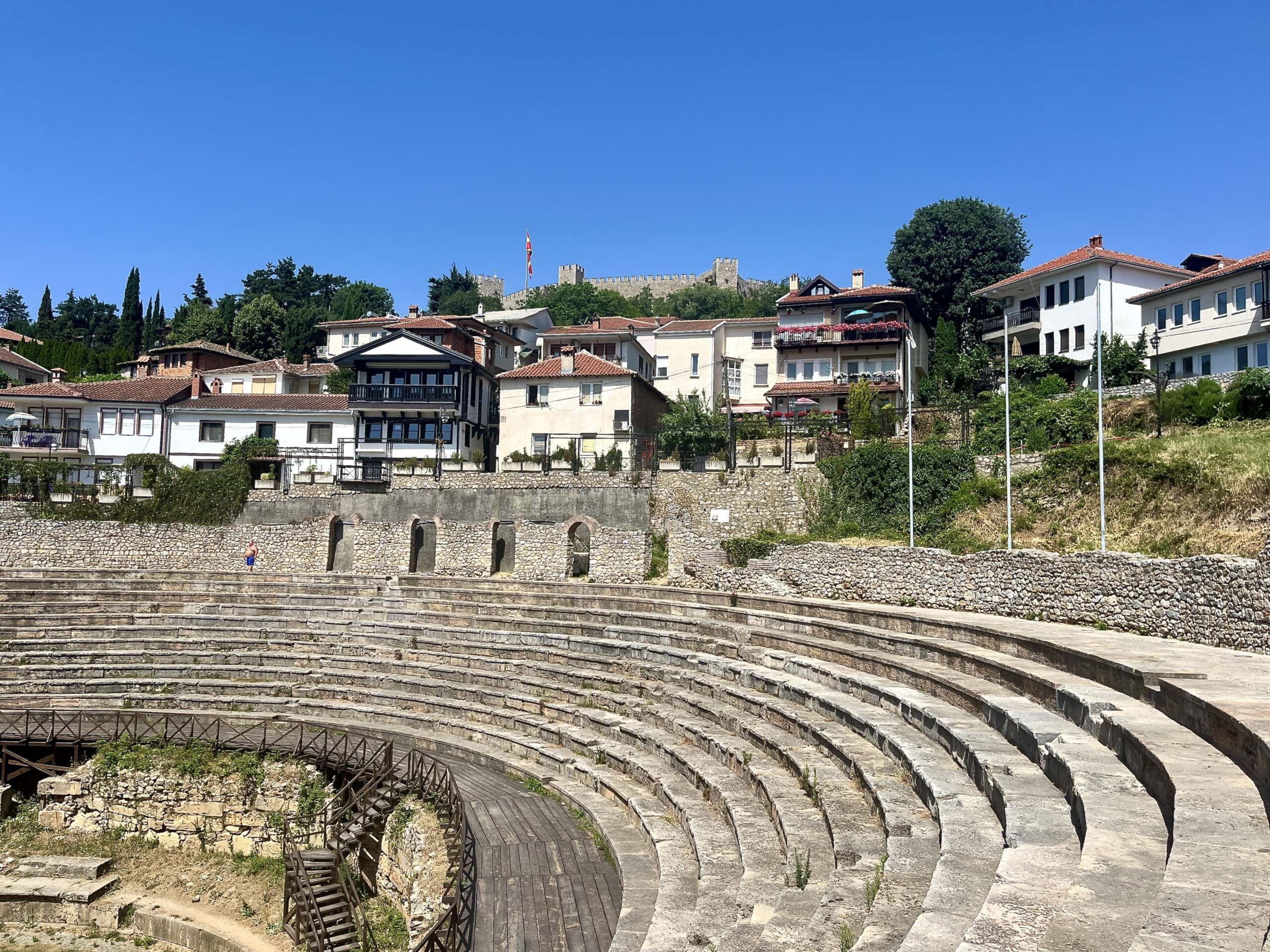
Ancient Macedonian Theater: Walking down the hill again to reach the city, we passed by the Ancient Theater. It was built around 200 BC and during Roman times, it was used for gladiator fights.
Ohrid FortressAncient Macedonian Theater
After the ascent, we got back to the Old town and wandered around the main street with shops and cafés. We noticed that there are many shops selling Ohrid pearls, which was pretty interesting. The story came up when looking on Google. The link to the article is here: North Macedonia’s Top-Secret Pearls.
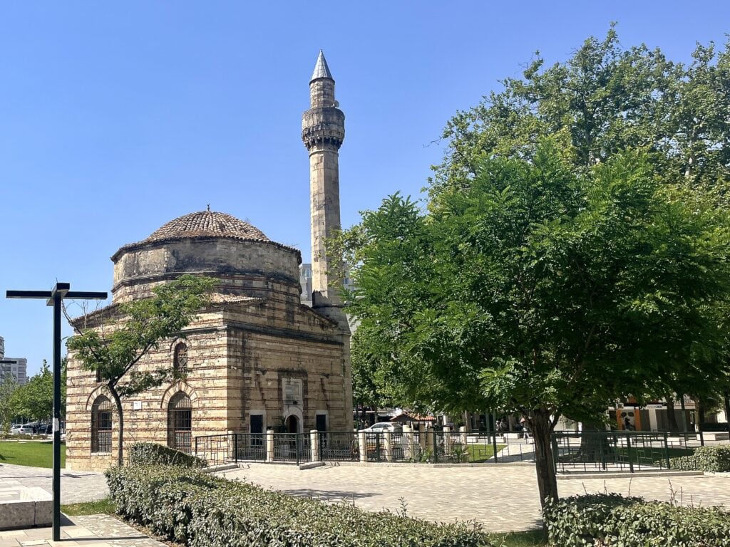
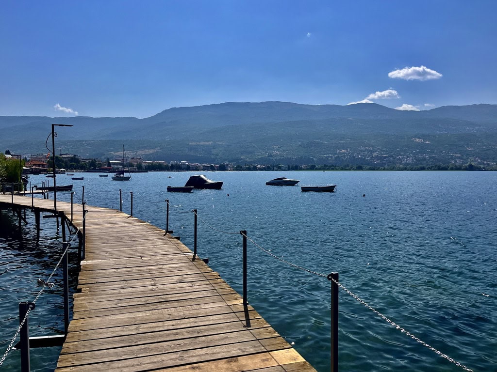
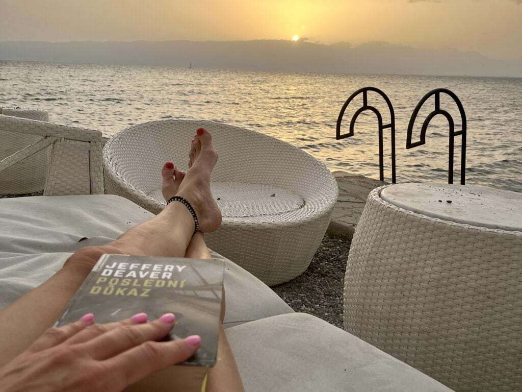
Lake Ohrid: Laying on the sunbed and relaxing around the oldest and deepest lake in Europe with crystal-clear water was the perfect idea for the rest of the day.
View of the Lake OhridLake Ohrid sunset
Day 4: Ohrid 🇲🇰 – Saranda 🇦🇱
Even though it doesn’t seem far distance-wise, the travel time between Ohrid and Saranda is around 6 hours. Crossing the border between N. Macedonia and Albania took us around 15 minutes. The roads in Albania were good, but the majority of the trip is through mountain passes with one-lane roads. Only a short stretch of the road is on the double-lane highway. The drive therefore requires a lot of attention and is more demanding than driving on a big double-lane highway.
Saranda
Saranda is a busy town, and navigating through it was a little tricky. It seems that they changed the street directions and Google Maps did not reflect it. I was being sent to streets with one-way traffic in the opposite direction. After a bit of circling around, I gave up on Google Maps and used Mapy.cz instead. This navigation eventually got me where I needed to go. It is not the first time Mapy.cz saved me; it was the only navigation that could point me to the correct place.
As always, I paid a lot of attention to the parking availability, and it was one of the reasons why I chose Saranda Terrace apartments with their underground garage. It is for sure a jackpot in a town like Saranda where there are cars parked everywhere.
Upon settling in, I had one thing I wanted to do: visit Whats SUP Saranda, the SUP and kayak rental business I have been following on Instagram for a while. I wanted to meet the owner in person. What a lovely occasion it was. And off to the beach afterward, of course.
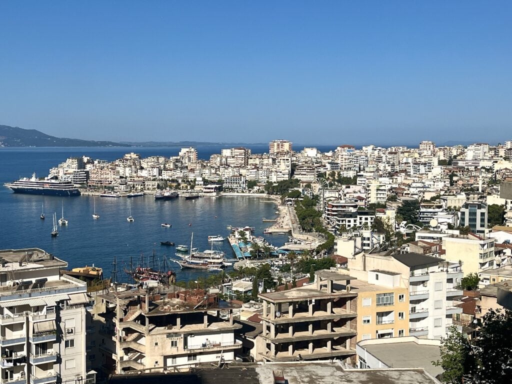
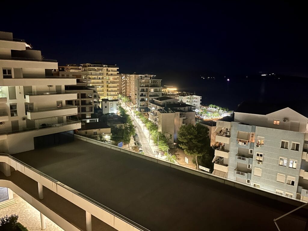
SarandaSaranda at night
Day 5: Ksamil
Trending on Instagram where and in fact it was the reason, why we visited Albania last year. The drive from Saranda takes about 30min. The idea for the day was: rent a beach chair in one of the beach clubs and stay put, doing nothing but enjoying the sunbathing. And that is what we did.
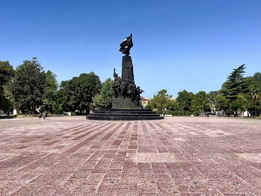
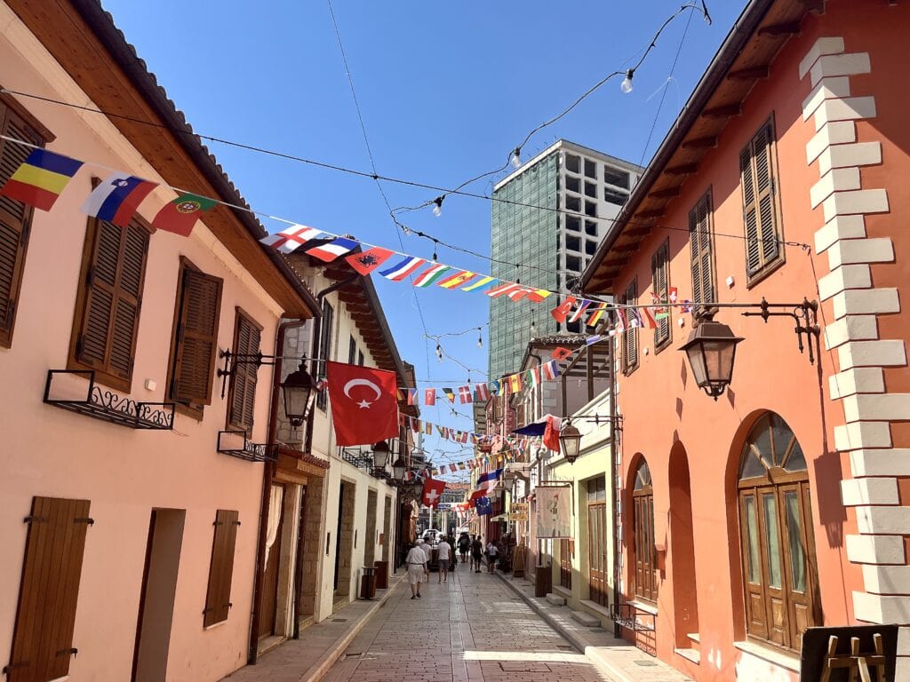
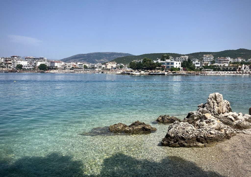
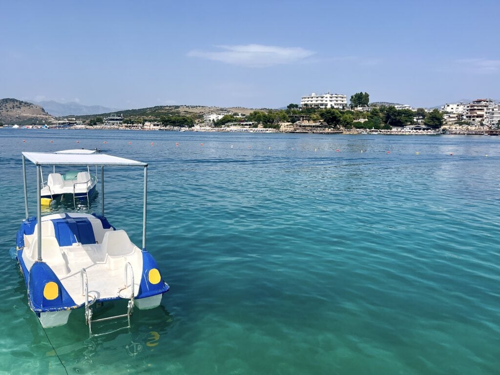
KsamilKsamil
Day 6: Day trip from Saranda 🇦🇱 to Corfu 🇬🇷
To get to Corfu, Greece, takes 30 minutes if you choose the fast-speed ferry. We used Finikas Lines. It cost us 50 Euros per person for a return ticket, but I believe it was worth it. There is another operator with a slower ferry that takes 1 hour to get to Corfu.
I went to buy the tickets at the Finikas office located close to the Saranda port. The ferry is obviously popular, so we could not go on the following day but one day after. I didn’t mind, as our stay in Saranda was flexible, but if you have a tight schedule, it is a good idea to buy tickets ahead of time. Be advised that the tickets are fixed to the time of departure and return you choose; they are not flexible.
We chose to depart at 9 am Albanian time, which means 10 am Greek time. That is another thing we needed to get our heads around. We arrived in Corfu at around 10:30 Greek time, and we decided to leave with the ferry at 16:00 Greek time. That option allowed us around 5 hours to explore the Old Town of Corfu.
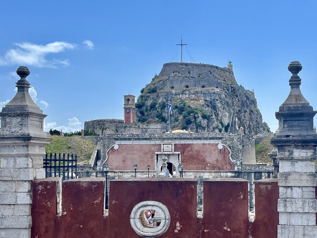
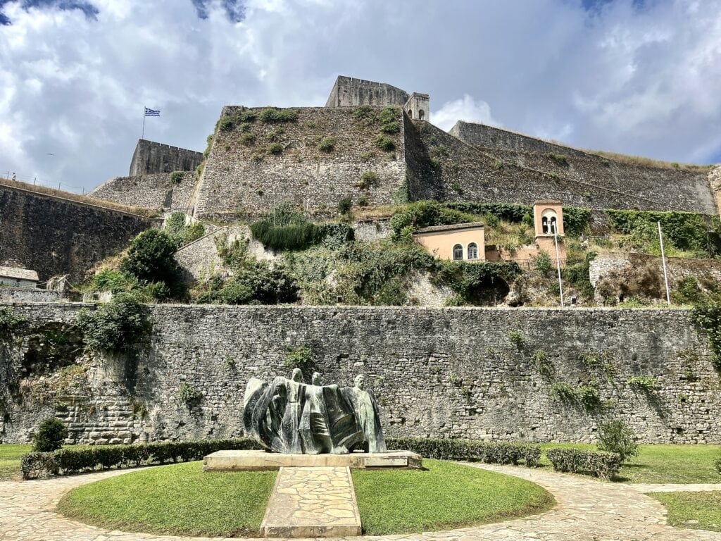
It takes about 20 minutes to walk to the Old Town. Many people seem to use the shuttle buses (around 12 Euros per person) or Hop on Hop off bus. I don’t see any value in those. While walking towards the town, we passed by shops and restaurants. Eventually, we passed by the first attraction, the New Venetian Fortress.
The New Venetian Fortress: It was built between 1576 and 1645 and served an important role in Corfu’s protection. We decided not to climb up to allow ourselves enough time to explore the Old Town. Once we passed by the New Venetian Fortress, we merged into the beautiful narrow streets of the Old Town. It is simple to navigate; you just keep walking. The town is busy with tourists, shops, and cafés. The vibe is special and there is no need for a map, I felt.
Continuing through the streets, we eventually got to the Spianada, the large park dividing the Old Town from the Old Fortress.
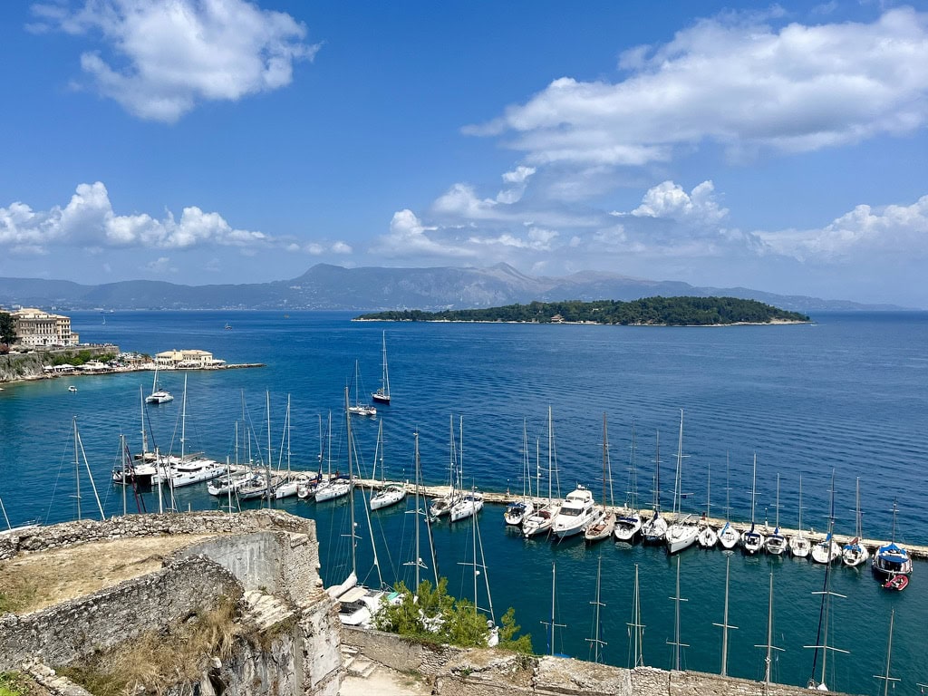
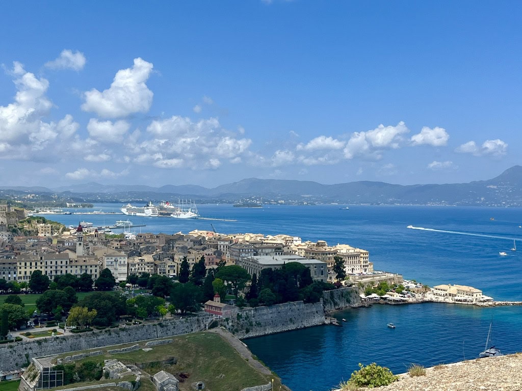
Old Fortress: Standing on the top of the hill, it is a sight not to be missed. Not only is the fortress amazing, but the views of the city and the Ionian Sea are also priceless.
Old FortressNew Venetian FortressView of CorfuView of Corfu
We returned back to town after visiting the fortress, wandered around the city, and found a taverna to enjoy some traditional Greek food.
By 3:30 pm Greek time, we were back at the ferry terminal, got through the ID controls, and arrived back in Saranda at 3:30 pm Albanian time.
Day 7: Day trip from Saranda to Blue Eye and Gjirokaster 🇦🇱
Blue Eye
One of the places that Instagram made famous and therefore a “must-see” spot, along with Ksamil beaches. So, what is the Blue Eye? It is, in fact, a natural spring phenomenon. Nobody has ever been able to dive deep enough to find the real source of the stream. The water is being pushed up with such strength and speed that it is simply impossible (so far) to get deeper than 50 meters down.
Arriving at the Blue Eye is pretty straightforward. There is a dedicated parking place literally off the main road and it is paid. The rate depends on how long you want to stay in the area. I paid the minimum for 0-3 hours, which was 200 LEK (2 Euros). Once I parked the car, we walked on the paved road, which shortly got us to the natural area entry gate. The entrance fee per person was 0.5 Euros. It is approximately 2 km on the paved road to reach the Blue Eye. We walked, but they offer electric scooters for rent or there is even a tourist train.
Blue Eye
Gjirokaster
After visiting the Blue Eye, we set off to drive to Gjirokaster. It is one of the most visited towns in Albania, and it certainly has its charm! It is called the “Stone City” and is a UNESCO World Heritage site.
I found parking at the Free parking lots. Then we walked up the hill. Here are some attractions not to be missed:
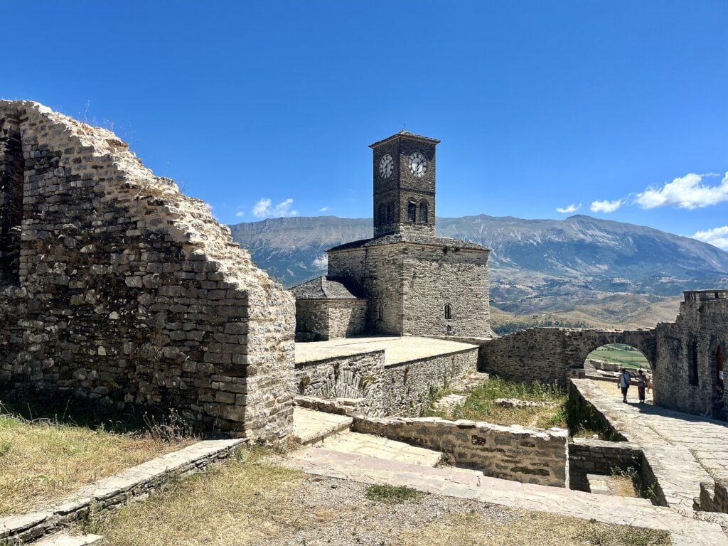
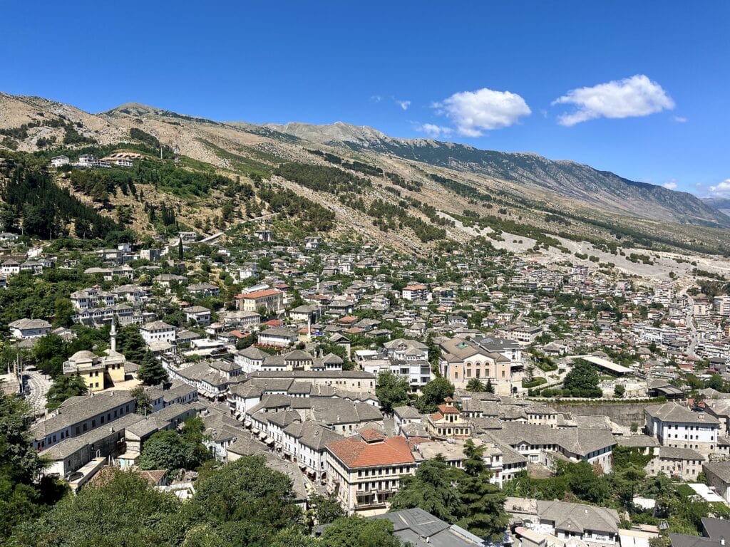
The Castle of Gjirokaster: The history of the castle dates back to the 3rd, perhaps 4th century, and I must admit, to me, this is the most impressive and best-preserved castle I saw in Albania. The entrance fee was 4 Euros per person. The castle area is huge, it is self-navigating, and the information is provided on big boards. As it sits on the top of the hill, it also provides beautiful views of the city.
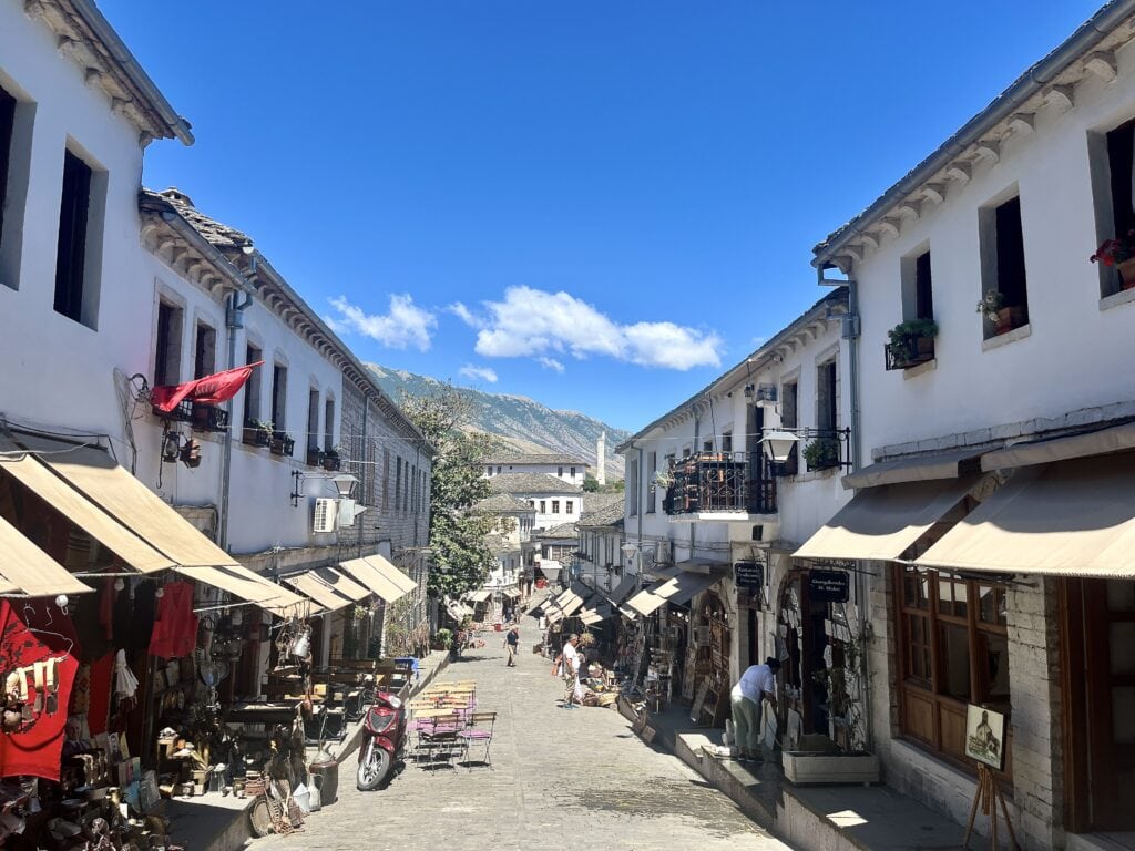
The Gjirokaster Bazaar: The real heart of the town with charming colorful streets filled with souvenir shops and cafés. We passed by only on the way to the castle, leaving to enjoy the vibe after the castle visit. As it was lunchtime, we sat down in one of the local pubs and enjoyed our food.
The Bazaar Mosque: Built in the 18th century, it is the only one that was preserved and not demolished during the communist era. We did not enter the mosque as there was a service of worship.
Cold War Tunnel: Another interesting landmark that might be worth visiting is the Cold War tunnel. It is a tunnel and bunker complex built during the communist Enver Hoxha regime. It was supposed to serve as a hideaway place for the communist elites. There are several examples of such bunkers around Albania. There are guided tours every hour. We didn’t arrive at the right time plus we visited the BunkArt in Tirana, so we decided to skip this one.
Gjirokaster FortressOld BazaarView of Gjirokaster
Day 8: Saranda – Dhermi Beach – Vlorë
It was time to leave Saranda behind and continue the trip through Albania. We packed up in the morning and drove to one of the most beautiful beaches – Dhermi. We knew the beach because we visited it last year. However, we were once again stunned by the drive along the coastline. The views are simply breathtaking.
Dhermi beach
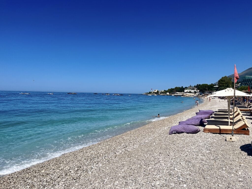
We arrived at Dhermi Beach about 1 hour and 45 minutes later and parked the car close to the beach. There are several paid parking spots, with the cost for the day being 5 Euros. I recommend arriving early (by 10 am) because it gets very busy afterward. The beach is long and filled with beach chairs and bars. We went to the same place as last year, but there are many to choose from. The cost for two beach chairs, an umbrella, and a bean bag was 15 Euros.
Dhermi BeachDhermi Beach
Vlorë
After spending the day on the beach, we continued to Vlorë. I chose Ralph’s Apartments and I highly recommend it. The apartment is beautiful with many extras provided, they have secure parking, and the hosts are absolutely amazing!
The Sea Promenade: I would say it is the real heart of the action in the evening. There are numerous restaurants and bars as well as a small amusement park for kids. It’s definitely a place to hang around and grab dinner.
Vlorë beachfrontVlorë beachfrontVlorë beachfront
Day 9: Vlorë – Durrës
Vlorë
Exploring Vlorë in the morning, we started the day off by getting breakfast at our favorite Albanian coffee shop chain, Mulliri Vjeter. I always wonder why we can’t have something like this back home; it’s the best.
Walking on the main street towards the Old Town, we passed by:
Muradie Mosque: Built in the 16th century, the mosque is open to visitors but requires adherence to a dress code. As we were in shorts and cropped T-shirts, we did not qualify to enter.
The Flag Square: This is the main square in Vlora, featuring a massive Independence Monument.
Old Town: It is literally only a few streets but worth wandering around. There are many restaurants and cafés to sit down and rest.
Muradie MosqueThe Flag SquareOld Town
Durrës
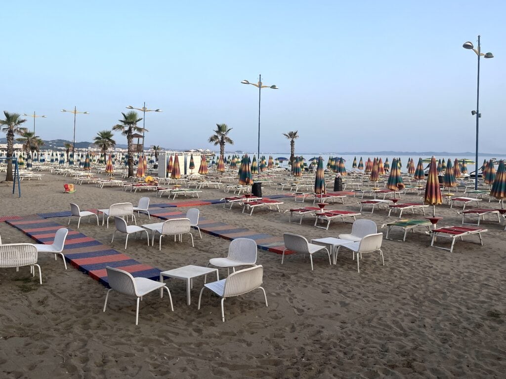
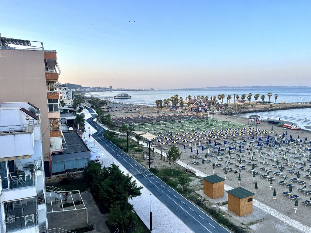
It was about lunchtime when we came back to the car and started our drive to Durrës, a place I keep returning to since my first visit last year. We checked into the same apartments as with our previous visit: The Wave Beachfront Apartment. The hosts are simply fantastic. And it was about time to spend a few hours on the beach cooling off on another hot day.
Durrës beachDurrës beachView from the apartment
Day 10: Exploring Durrës
We spent the morning exploring Durrës. For more details on what to see and do, you can refer to my post here.
Day 11: Day trip to Tirana
It is about a 50-minute drive from Durrës to Tirana. It was awesome to be back again. We parked at the same garage as last time, close to Skanderbeg Square. We strolled around the city through both familiar and new streets. For more details on what to see and do in Tirana, you can refer to my post here.
Day 12: Durrës 🇦🇱 – Mostar 🇧🇦 – Sarajevo 🇧🇦
Durrës to Mostar: 379km, 6h
Mostar to Sarajevo: 125km, 2h
We set off very early in the morning from Durrës to drive to Mostar. The reason was not only the distance but also our experience from last year. The road between Durrës and Shkodër gets extremely busy; the 110km can take 3 hours to conquer during the day. So the idea was to get to Shkodër before the traffic starts. After reaching Shkodër, we continued to the closest border between Albania and Montenegro. The border crossing was smooth, and we continued the drive. The entire drive between Durrës and Mostar is on national roads (except for a short stretch of highway between Durrës and Shkodër) with many curves, valleys, and mountains. It is beautiful but requires constant attention and time.
We reached Mostar around lunchtime. There are many paid parking places around the Old Town. I parked here, and it cost me 20 Euros per day.
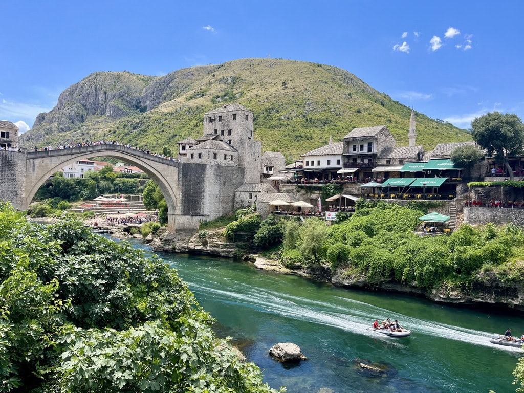
The Old City of Mostar is beautiful, with the key highlight being Stari Most (Old Bridge). It was originally built in the 16th century when Mostar was part of the Ottoman Empire. However, it was destroyed during the 1990 conflict and eventually rebuilt with UNESCO’s support. Crowds of tourists gather on the bridge to watch the brave guys jumping down to the Neretva River.
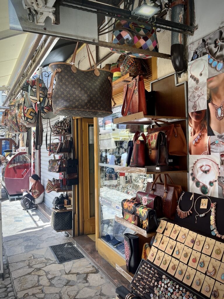
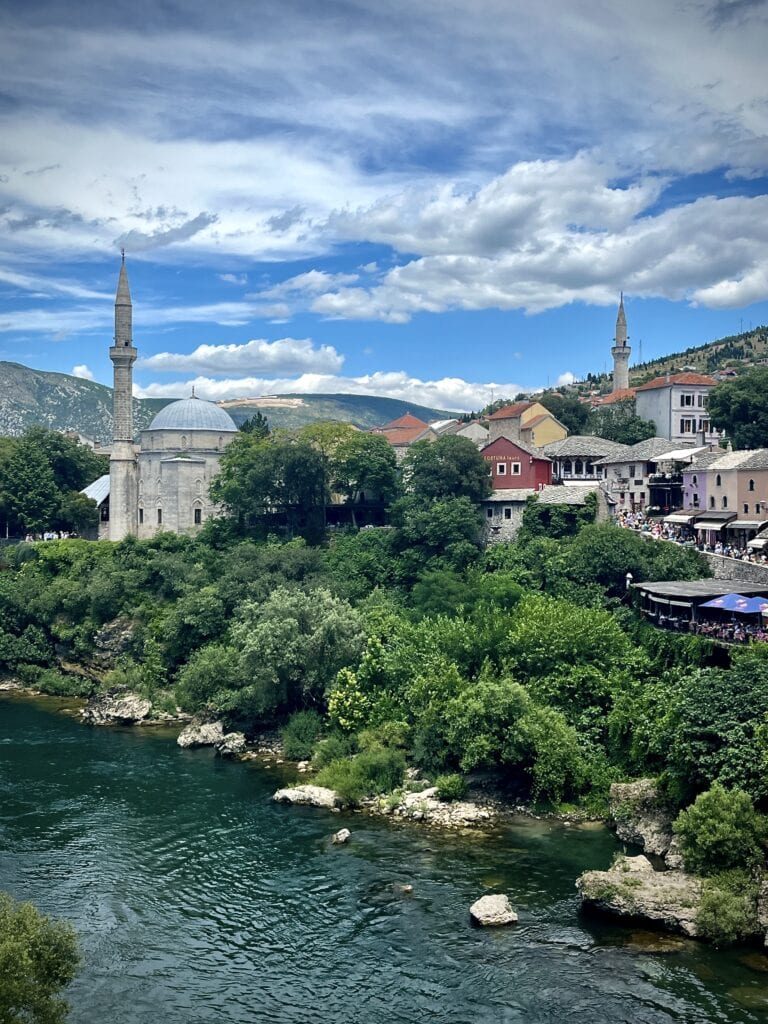
The Old Bazaar cannot be missed, offering a large number of shops selling everything you can imagine. We wandered through the streets and eventually reached the Koski Mehmed Pasha Mosque, which was originally built in the 17th century but had to be rebuilt after the war.
After lunch in one of the local restaurants overlooking the Old Bridge and the river, we set off to reach Sarajevo by the early evening.
As always, I chose accommodation in close proximity to the city center but with private parking. We stayed in Cadordzina Apartment, and it was a perfect choice.
Stari MostOld BazaarView of Koski Mehmed Pasha Mosque
Day 13: Sarajevo 🇧🇦
It is a city with an incredible history, where East meets West and different cultures blend seamlessly. It was part of the Ottoman Empire until 1878 and then became part of the Austro-Hungarian Empire until 1918. The First World War was triggered by the assassination of Franz Ferdinand d’Este in Sarajevo. Later, it was part of socialist Yugoslavia and hosted the Winter Olympic Games in 1984. During the Bosnian War, Sarajevo endured the longest siege in modern history. It is a city that is clearly meant to be explored.
We started the day with breakfast in one of the local coffee shops.
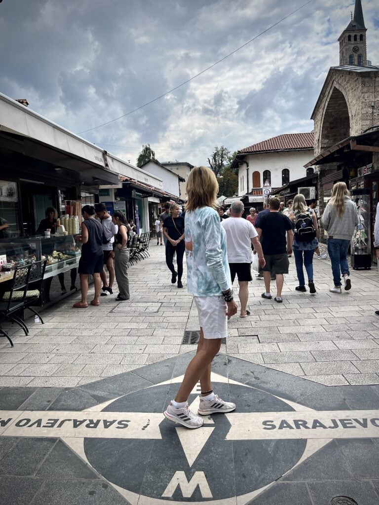
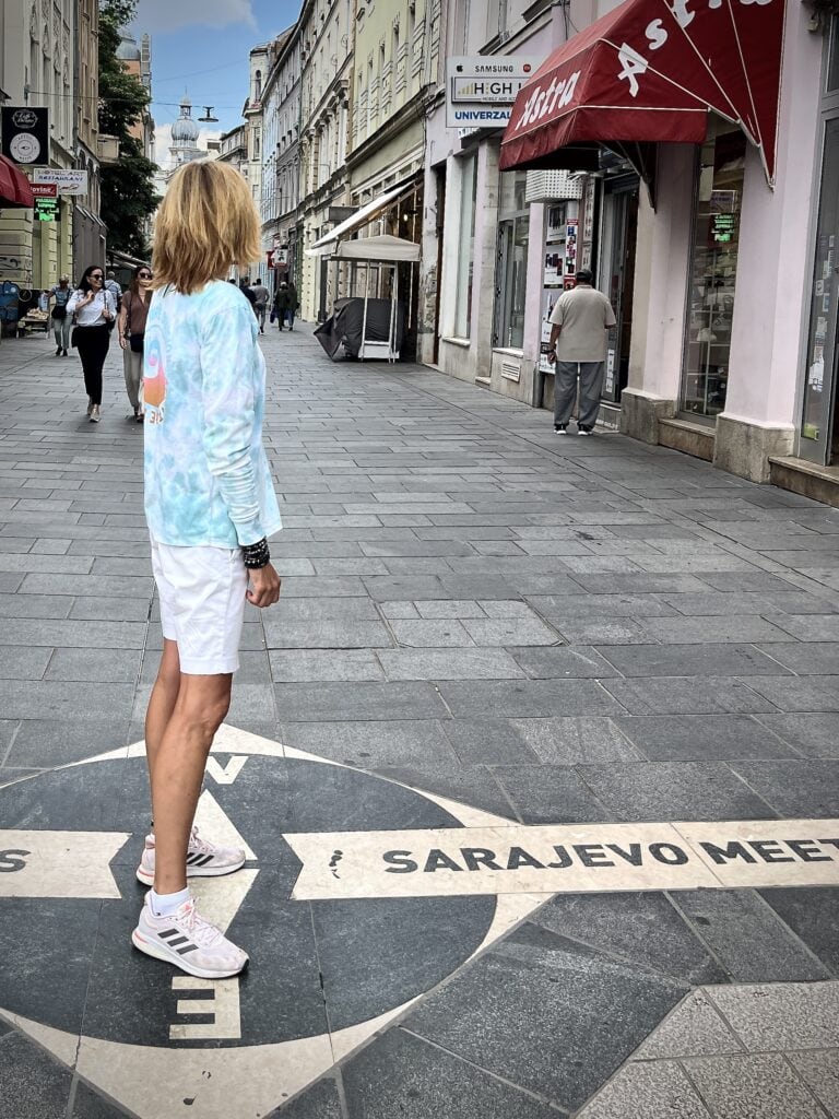
The best way to begin exploring the city is to visit the East meets West point. By looking at the West side and then the East side, one can clearly feel the cultural difference.
Walking East:
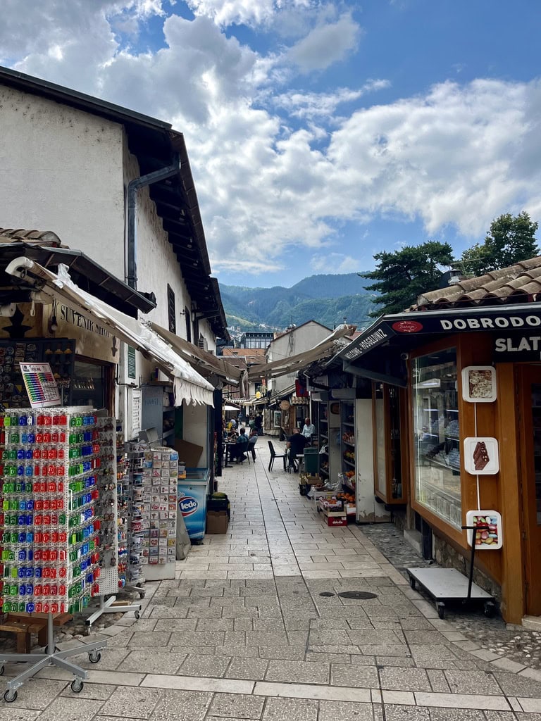
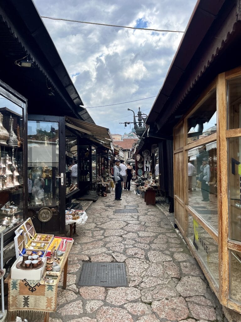
Baščaršija Bazaar: Built during the Ottoman Empire in the 15th century, it offers a unique atmosphere. There are so many shops with jewelry, traditional sweet treats, souvenirs, etc., that you could easily spend half a day just wandering around.
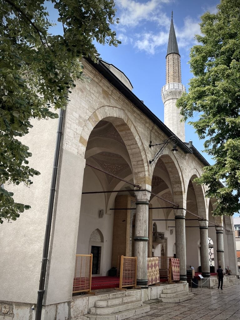
Gazi Husrev-Beg Mosque: Located in the heart of the Bazaar, this is the main Muslim mosque in the city, built in the Ottoman style in the 16th century.
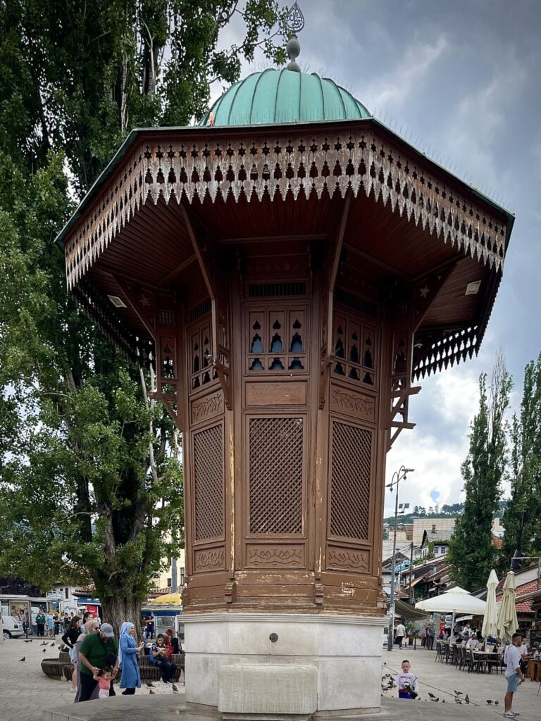
Sebilj: While wandering around Baščaršija Bazaar, you will not miss the wooden public water fountain originally built during the Austro-Hungarian monarchy.
Sarajevo E&W Meet pointBaščaršija BazaarBaščaršija BazaarGazi Husrev-beg MosqueSebilj
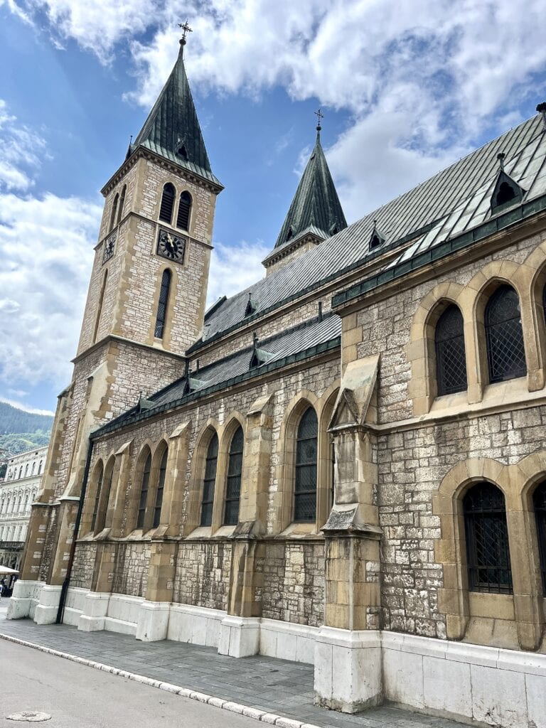
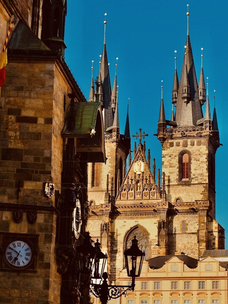
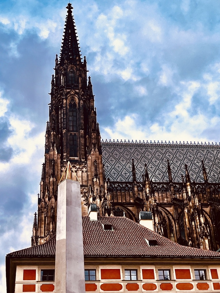
Walking West: The atmosphere feels very different here. One place I didn’t want to miss was the Cathedral of Jesus’ Sacred Heart. The cathedral was built in the Neo-Gothic style, with one of its inspirations being the St. Tyn’s Cathedral in my home city of Prague.
Sarajevo W&E Meet pointThe Cathedral of Jesus’ Sacred Heart
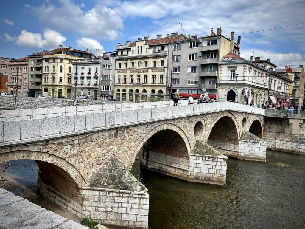
When in Sarajevo, one cannot miss the Latin Bridge. This site is historically significant as it was where the assassination of Franz Ferdinand d’Este took place, an event that triggered the start of World War I.
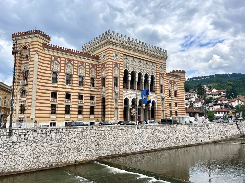
Another interesting building is Vijećnica, the Sarajevo City Hall. Built at the end of the 19th century during the Austro-Hungarian monarchy, it showcases the city’s rich architectural heritage.
Latin BridgeSarajevo City Hall
Day 14: End of road trip through Balkan. Return to Prague 🇨🇿
As it goes with all trips, at some point, it comes to an end. On day 14, we left Sarajevo in the early hours of the morning to drive the whole day and get back to Prague.
Every February, I face the same dilemma: should I hit the slopes for a skiing adventure or try to escape to a country with a milder climate? In 2023, I chose a week-long trip to Spain and had a great time. This year, I’ve chosen to embark on a Portugal road trip. Despite its climate being influenced by the Atlantic Ocean, it has proven to be the perfect decision. Just be mindful that it might rain, so packing an umbrella is a wise decision.
Table of Contents
Practical Insights:
Arrival in Portugal: Portugal being part of the Schengen zone ensures a hassle-free experience for travelers arriving from another Schengen zone country, with no passport checks. If you are from a non-EU country, check your passport status to meet the requirements for entering the Schengen zone.
Currency: The official currency in Portugal is the Euro. Card payments are widely accepted, and ATMs are easily accessible if needed.
Renting a Car: I chose the Hertz rental company for a specific reason. I wanted to rent a car in Lisbon and return it in Porto. Based on my research, not all rental companies allow this option and there is a a special charge for it. Returning a car in Porto can be a bit tricky since rental companies don’t operate 24 hours at Porto airport. Therefore, if you have an early morning flight, I suggest to return the car the day before and rely on Uber or Bolt from that point.
Driving: Driving in Portugal is straightforward, similar to any other EU country. Petrol stations are conveniently located. The maximum speed limit on highways is 120 km/h, and in towns, it’s 50 km/h.
Mobile Data: EU citizens benefit from “roam-like-at-home,” eliminating worries about purchasing additional data packages. For those outside the EU, I recommend using the Airalo app, which allows you to download a data e-SIM card for countries worldwide. It’s a simple and hassle-free solution.
Day 1: Arrival to Lisbon
We landed in Lisbon on Saturday afternoon. Upon arrival, we picked up our pre-booked rental car from the Hertz office, conveniently located in the airport terminal. As with all my trips, I chose accommodation with private parking to avoid the hassle of searching for parking spots in the city and understanding local street parking rules. The Legendary Suites Apart Hotel not only offers an underground garage but is also conveniently situated near an underground stop. For me, the subway is always the best and easiest way to explore the city.
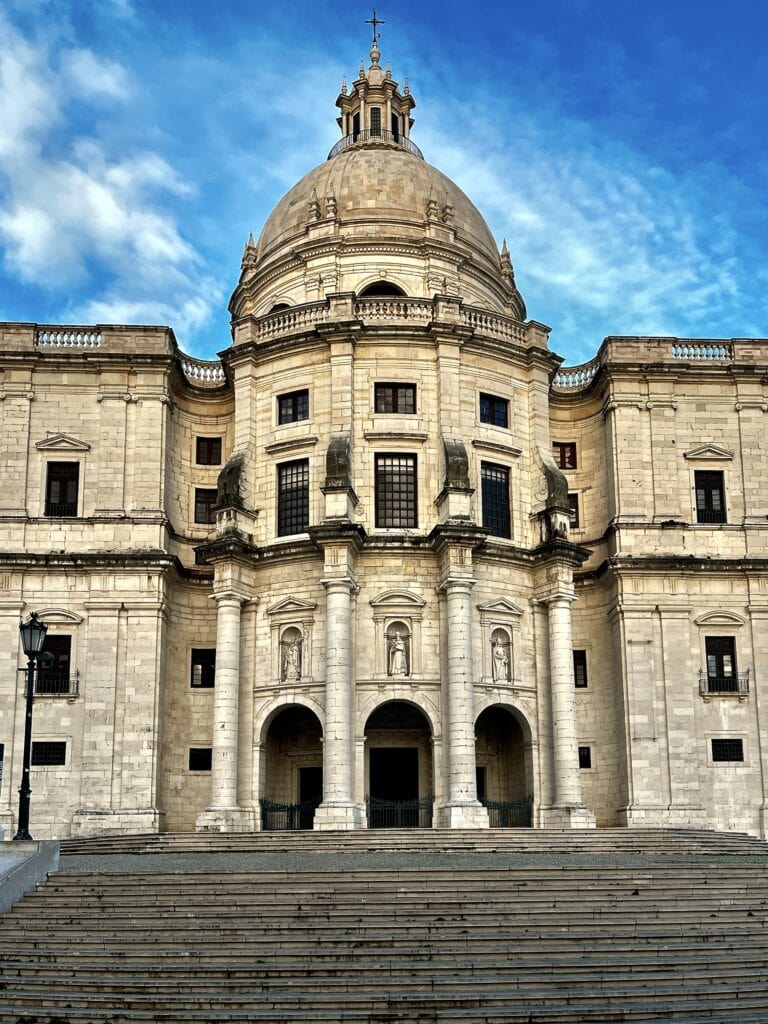
After checking in, we headed to the town. Using the “blue” metro line to the Santa Apolonia station, we walked toward the Panteão Nacional. The church has served as the burial place for Portugal’s royals and notable cultural figures for many years. Unfortunately, the winter opening hours are shorter, and we got there late to explore it inside. From there, we wandered around the old Alfama neighborhood.
Panteão Nacional
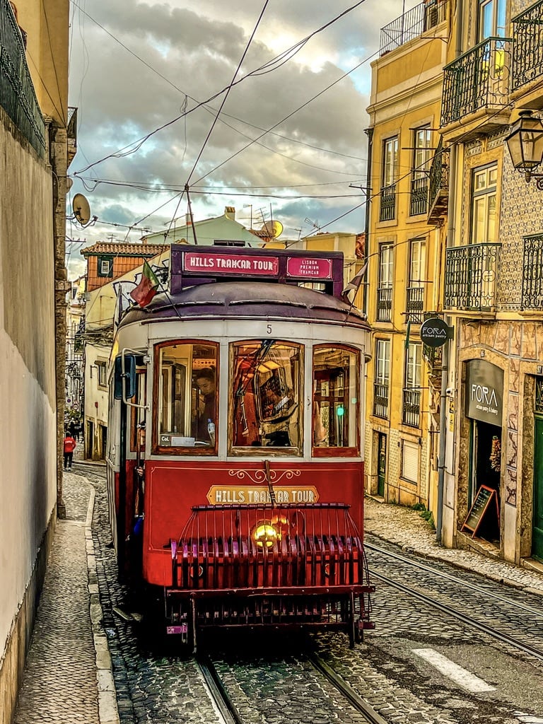
Tram
Eventually, we were tired enough to have dinner. Right in the city center, we found Pizzaria Tapas La Casa. The waiter was amazing. He greeted us in our own language (which was totally rad, as who speaks Czech?). After that, he seamlessly switched to perfect German, followed by conversing with other guests in Portuguese, English, and Spanish. The pizza and wine were perfect.
Day 2: Lisbon Landmarks Beyond the City Center & Cabo de Roca
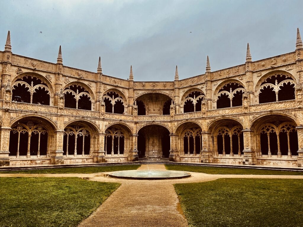
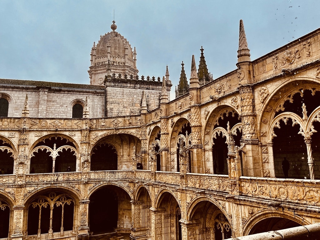
Jerónimos Monastery
Our first stop of the day was Jerónimos Monastery. Dating back to the 5th century, it holds a fascinating history, including Vasco da Gama spending the night here before his expedition to the Orient.
We drove and parked right in front of the monastery. There are plenty of free parking spaces in the area. Despite arriving at around 9:30 am, the opening time, and it being February, not a peak tourist season, we still had to wait in line for 10 minutes to get in. Tickets for the monastery can be purchased on the spot, but I opted to buy them online.
Jerónimos Monastery courtyardJerónimos Monastery
Padrão dos Descobrimentos
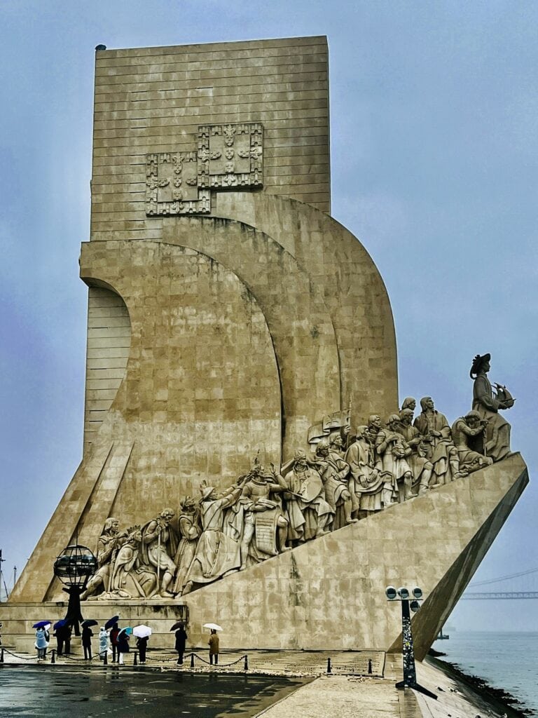
Opposite the Jerónimos Monastery, on the Tagus riverbank, stands the Padrão dos Descobrimentos. This impressive 52m high monument commemorates Portuguese explorers who embarked on voyages across the ocean to discover a new world in the 15th and 16th centuries. The monument resembles a ship with statues of explorers on the side. An observation deck is also available for those who choose to visit. It’s worth taking a look at the pavement in front of the monument, where a huge mosaic map, donated to Portugal by the South African government, can be found.
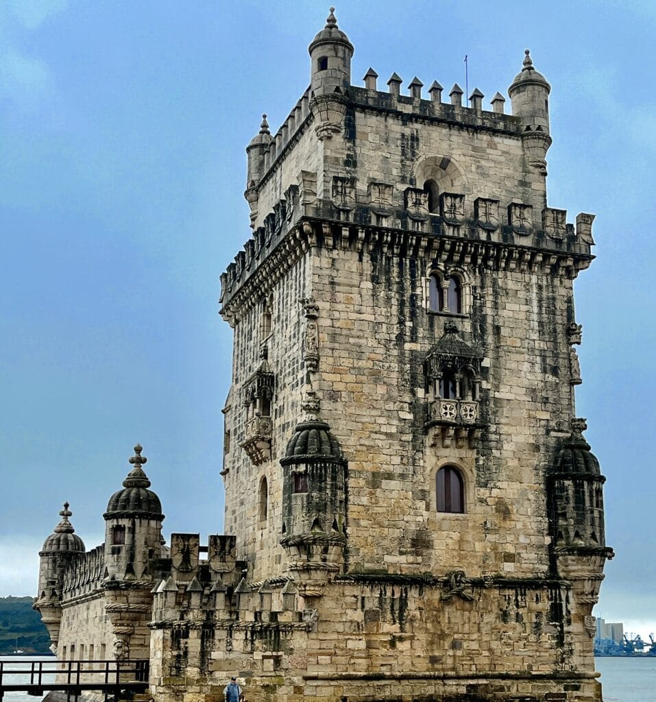
Belém Tower
A walk alongside the river leads to the Belém Tower. Once a defense tower and an iconic landmark for sailors navigating back home, it is now a UNESCO World Heritage site.
Padrão dos Descobrimentos
Belém Tower
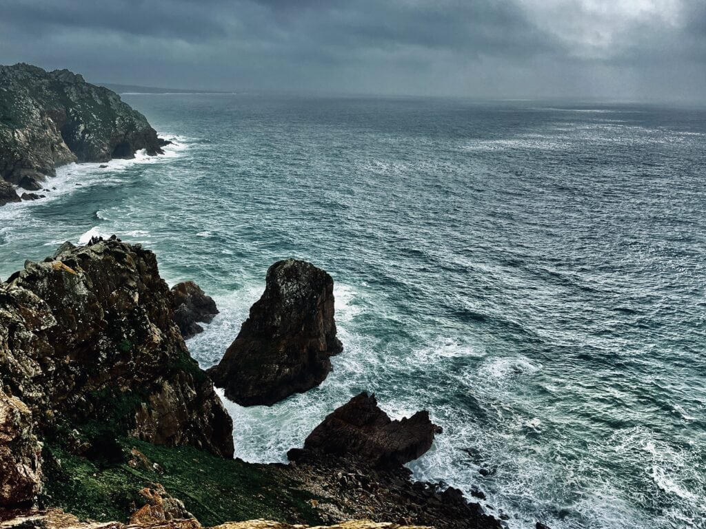
Cabo da Roca
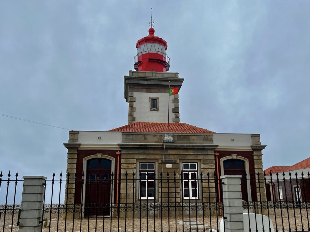
After exploring the morning cultural landmarks, we set off to drive and visit Cabo da Roca, the westernmost point of Portugal and continental Europe. It’s an easy 35km drive from the Belém Tower. Upon our arrival, we parked below the lighthouse. The Cabo da Roca Lighthouse stands at 165m above sea level and is the third oldest operational one in Portugal. Walking around the coastline and witnessing the ocean crashing into the rocks below is truly breathtaking.
Cabo da RocaCabo da Roca Lighthouse
Day 3: Lisbon
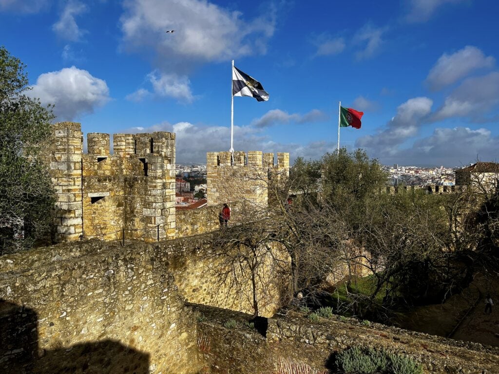
Castelo de São Jorge
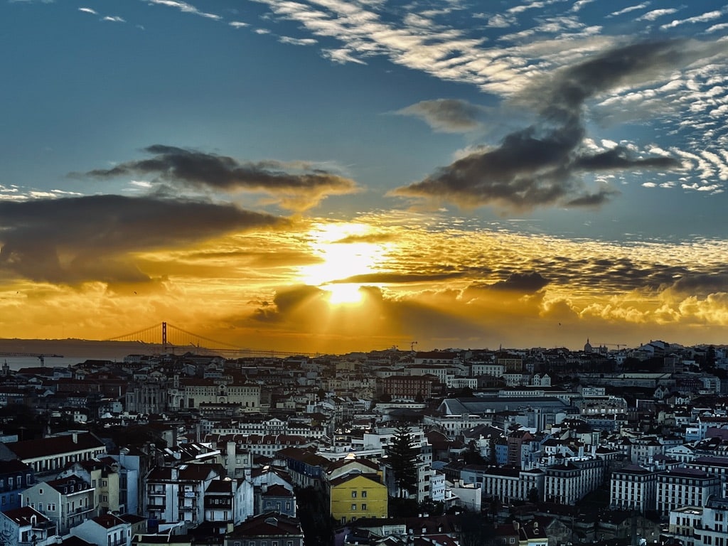
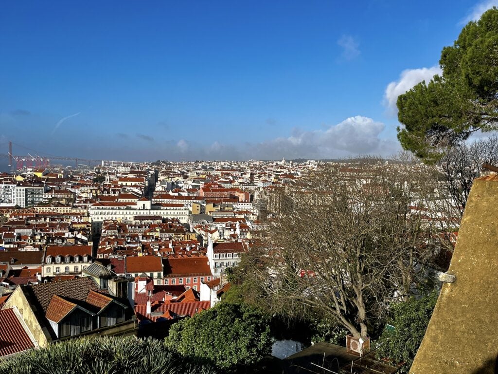
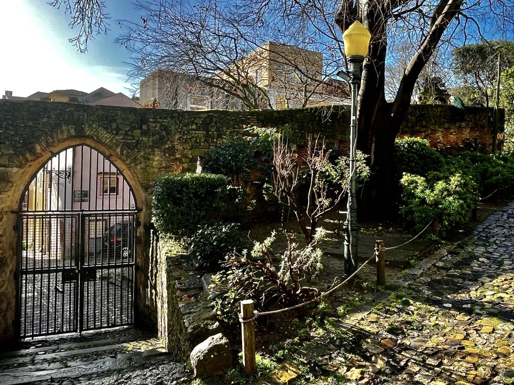
It was time to explore the heart of Lisbon. In the morning, we took the metro “blue” line to the Terreiro do Paço station. From there, we walked uphill to the castle, Castelo de São Jorge. The castle boasts a long and rich history, originally built as a Roman fortified castle dating back to the 11th century. It became the Royal residence in the 12th century. The major earthquake in 1755 caused significant damage throughout Lisbon, including the castle. However, the fortified walls and towers did survive. The walk around the castle area and on the walls offers a beautiful view of the entire Lisbon.
Castelo de São Jorge View of LIsbonCastelo de São Jorge
Elevador de Santa Justa
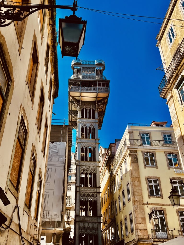
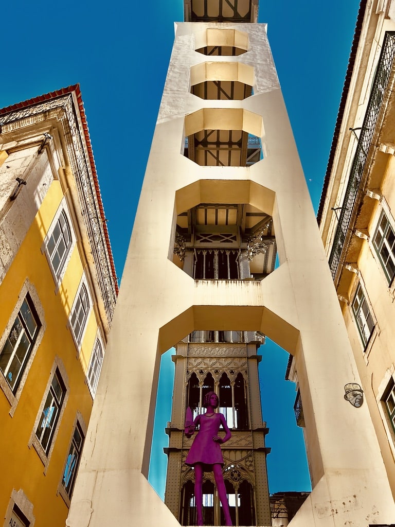
After exploring the castle area, we started the descent to the city. The next stop was to see the Elevador de Santa Justa. The elevator connects the bottom and top parts of Lisbon. It was designed by Raoul de Mesnier du Ponsard, who collaborated with Gustave Eiffel (yes, the man behind the famous Eiffel Tower in Paris). The elevator is undoubtedly one of the top tourist attractions in Lisbon. We passed by twice, and there was always a long queue to get in. And this was only February, during the low tourist season.
Santa Justa Elevator
Santa Justa Elevator from the back
Rua Augusta, Arco Triunfal and Praça do Comércio
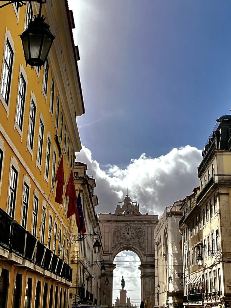
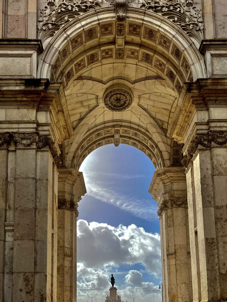
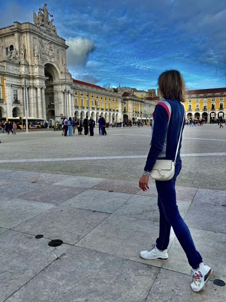
We continued our walk on Rua Augusta. It is a lively pedestrian zone in Lisbon with many shops and restaurants. It leads toward the Arco Triunfal and on to Praça do Comércio, one of the largest squares in Portugal. The square ends at the riverbank, and there is a lovely walk alongside the river to stroll on.
Rua Augusta streetArco TriunfalPraça do Comércio
Time Out market (Mercado da Ribeira)
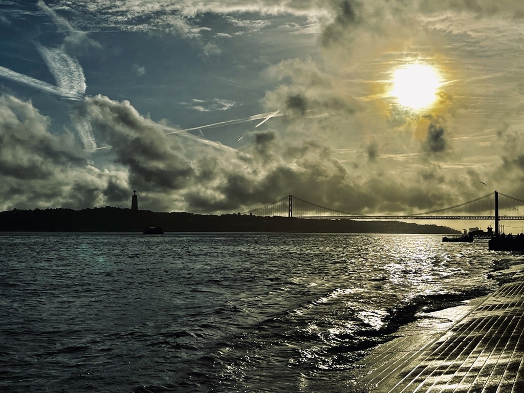
From the Praça do Comércio square, we continued alongside the river in the direction of the Ponte 25 de Abril bridge. It takes about a 15-minute walk to reach the Time Out market, also known as the Mercado da Ribeira. It is one of the best hangout spots in Lisbon, a vast space with a wide variety of different cuisines to choose from. Just a perfect place for lunch or dinner.
Walk along the Tagus riverTime Out market
Carmo Convent
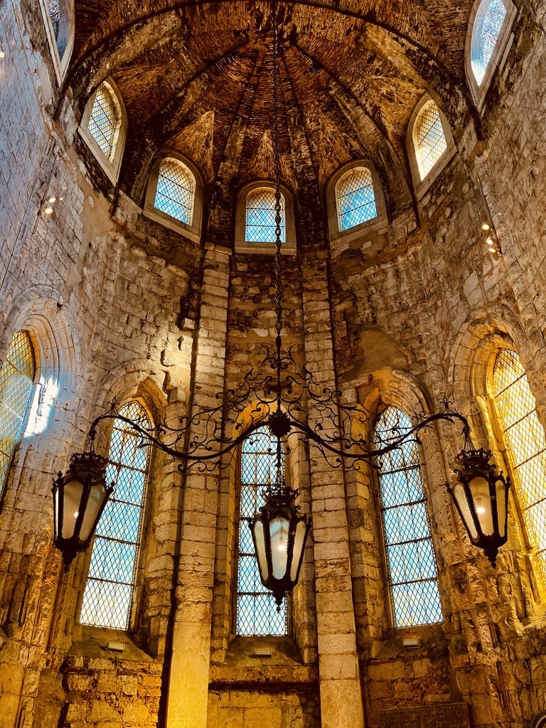
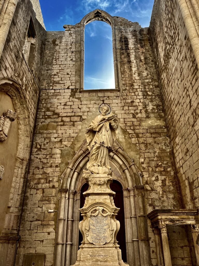
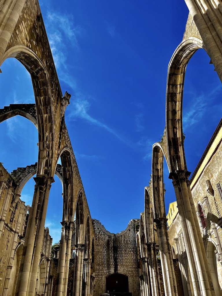
After a late lunch at the Time Out market, we walked towards the Carmo Convent. It was about a 15-minute walk back towards the city center. Carmo Convent dates back to the medieval age and is one of the most important religious ruins in Lisbon. The history of the Convent goes back to the 14th century, and like many other buildings, it was severely destroyed by the earthquake in 1755. It was never fully rebuilt. Throughout the visit, we saw the destroyed part as well as the area which was saved. There is a nicely done animated video in one of the halls explaining the history of the Convent.
Carmo ConventStatue in Carmo ConventRuined part of Carmo Convent
Day 4: Sintra. Nazaré.
Sintra
The following day of our Portugal road trip, we left Lisbon behind and drove to Sintra. Unfortunately, the weather was not on our side, and it rained since the morning. Sintra is about 30 km away from Lisbon, and the drive took us about 30 minutes. It is, in fact, an ideal place for a day trip from Lisbon if you base yourself there. Our plan was to visit Sintra for a day and continue to Nazaré later in the afternoon.
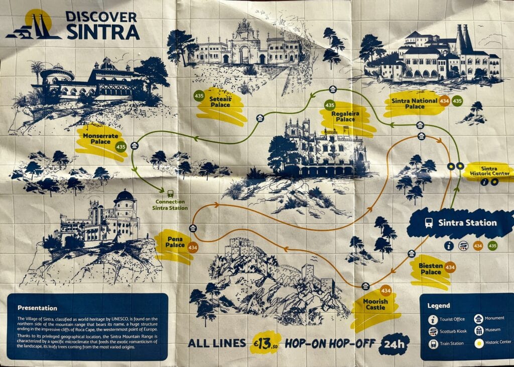
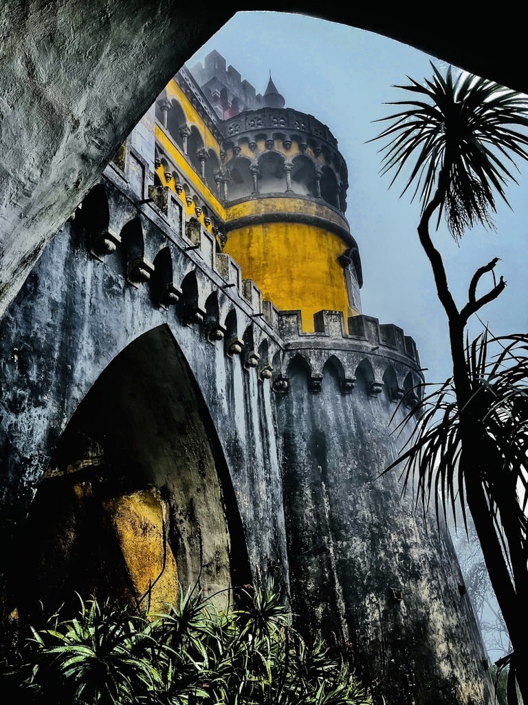
Sintra is a small but very charming town to walk around, but the top attractions are the palaces, namely the Pena Palace. Pena Palace is located on the top of the hill about 20 minutes’ drive from Sintra. It is good to know that cars (unless it is a tourist bus or taxi) are not allowed there.
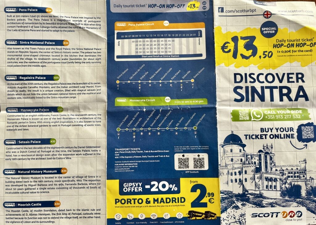
The best way to visit Sintra is to park the car just a bit outside (still walking distance) and catch the 434 and 435 tourist bus services. The buses operate from 8:50 in the morning with one intention – to take tourists who want to visit the palaces. The day ticket is 13.50 Euro/person, and it allows as many rides as you want.
Tourist bus flyer page 1Tourist bus flyer page 2
I parked the car at the Sintra station paid parking place, a literally 1-minute walk from the 434 tourist bus station.
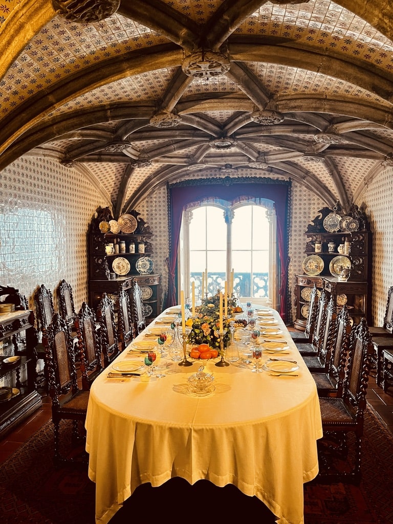
We took the bus to Pena Palace. I didn’t have tickets as February is not considered a high tourist season, and we reached the Pena Palace by 9:30 am, which is the opening time. I purchased the entry tickets from the vending machine and got the 10 am slot to enter. So visiting in the high season would probably require buying entry tickets ahead of time.
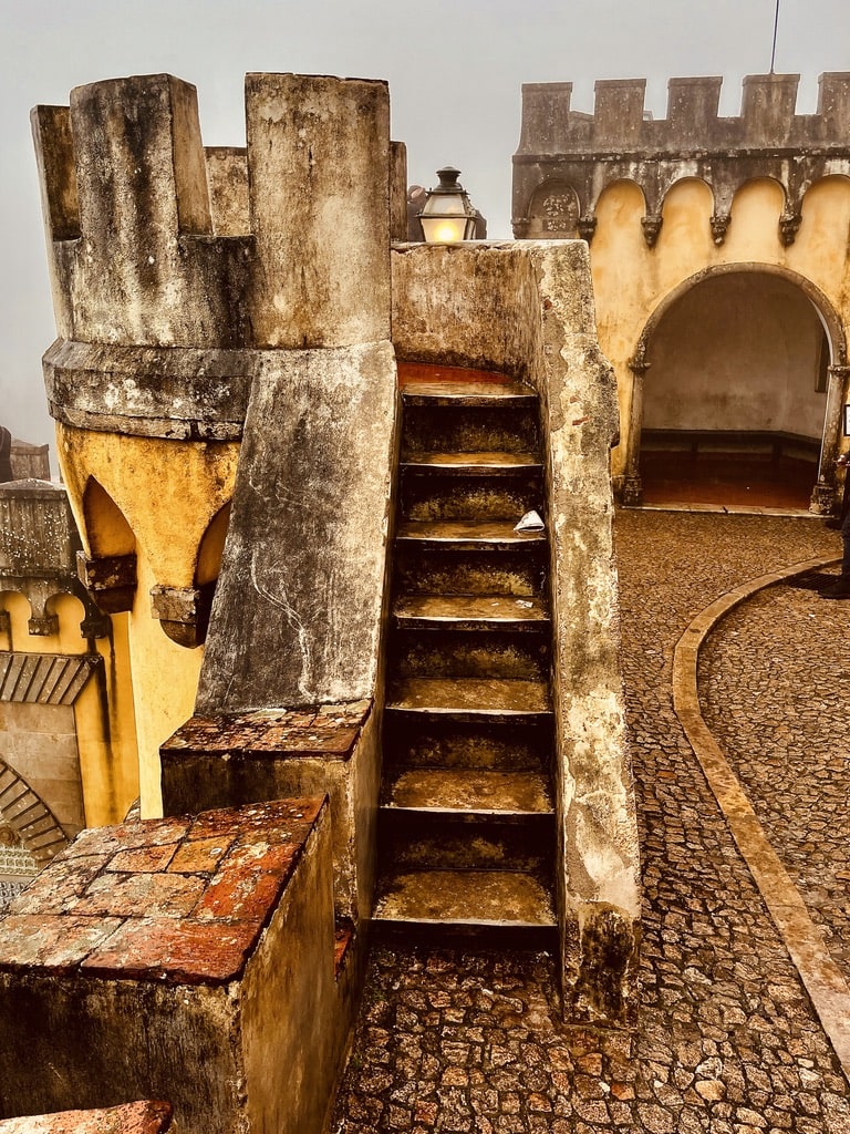
While buying the entry tickets, there is also an option to add a transfer from the gate to the palace entry. I didn’t take this option and rather took a 10-minute walk uphill through the beautiful gardens to reach the palace. The entry is managed by time slots, and they do not allow anyone even a few minutes before the dedicated time.
Pena PalaceInside Pena PalaceStairs, Pena Palace
After visiting the Pena Castle, my plan was to continue to the Moorish Castle and explore it. Unfortunately, the rain kept pouring, and we decided to give it a miss. A good reason to come back. We took the bus back to town, had a coffee and a snack, and walked around the small charming city. I also contemplated visiting the Sintra National Palace, but the enthusiasm was not there given the bad weather. All said, we still left Sintra only around 2 pm. So it is the city where you can easily spend the entire day.
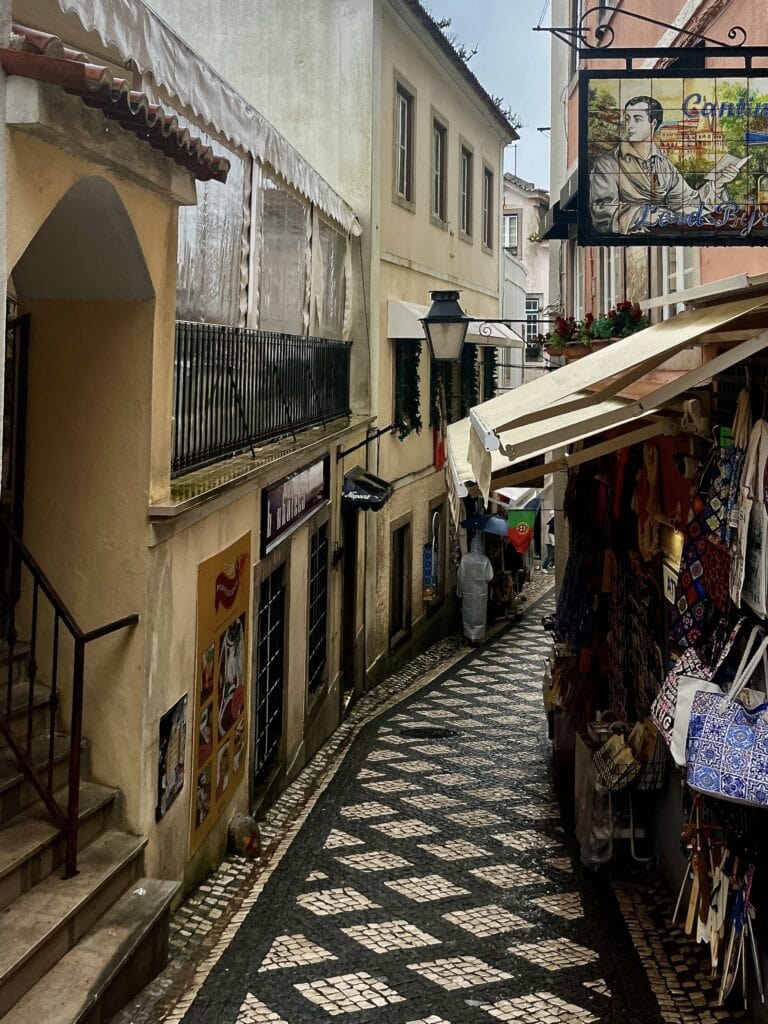
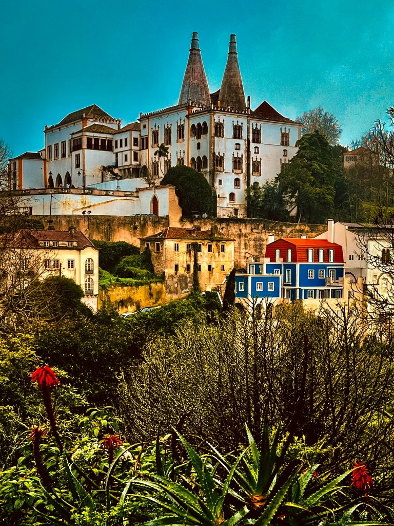
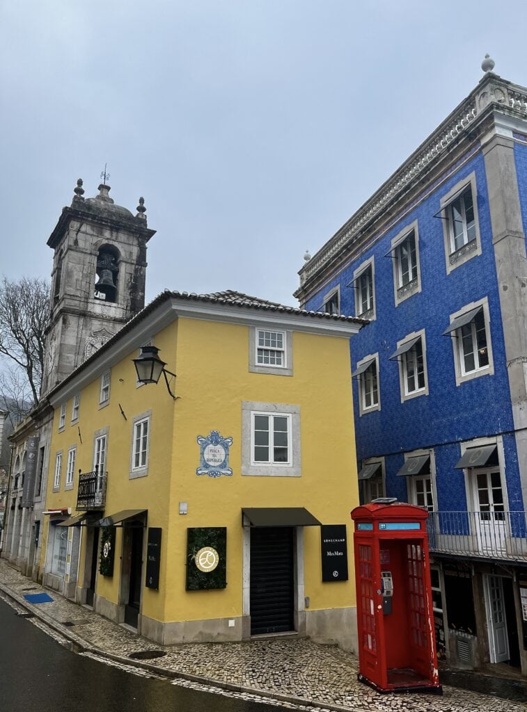
Street in SintraSintra National PalaceSintra
Nazaré
We left Sintra in the afternoon and drove to Nazaré. The drive took approximately 1.5 hours, an easy cruise with most of it on a highway. I booked us into Apartments Mare, conveniently positioned in the middle of the Nazaré hill. The apartments have a spacious underground garage to park the car.
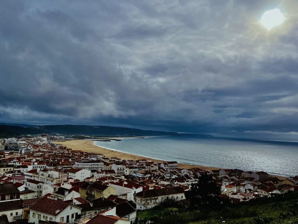
After checking in, we went to explore the top part of Nazaré – the Sítio. It is the place where people watch the most adventurous surfers riding the giant waves in some weeks during the year. There are stairs along the hill leading up with fantastic views of Nazaré, the beach, and the coastline. The first stop on the track was the Ladeira do Sítio – a huge panoramic swing.
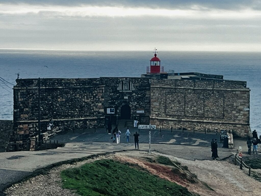
After reaching the plateau, we saw the Sítio main square. A few open stands scattered around offer refreshments. We bought a fantastic mixture of nuts from one of the lady sellers. Continuing down, the road eventually leads to the small fortress with a lighthouse, the point to watch the surfers.
Unfortunately, we were not lucky enough to experience this, but I have been watching many videos from the event, and it was amazing to experience the vibe of the spot in person. We saw the Nazaré funicular track on the top of the hill connecting it to the bottom part of the village, but it was not operational.
Walking the same panoramic staircase route, we went down back to the village and then wandered through the streets all the way to the beachfront area. We found a lovely Indian restaurant to finish the day off.
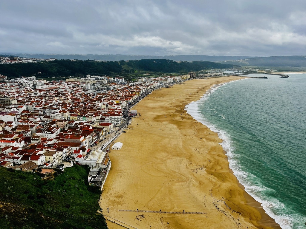
View of NazaréFortressNazaré
Day 5: Óbidos. Peniche. Nazaré
The following day, we made a day trip from Nazaré to Óbidos and Peniche. The drive from Nazaré to Óbidos takes about 35 minutes, on the same highway we arrived on the day before in the direction back to Lisbon. I knew that we would make this short travel backward but decided to settle in Nazaré for 2 nights rather than do 1 night in Óbidos or Peniche and then continue to Nazaré for the next one. It was a wise decision, as Nazaré has the real surfer’s vibe to enjoy.
Óbidos
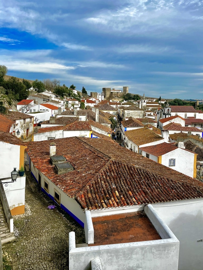
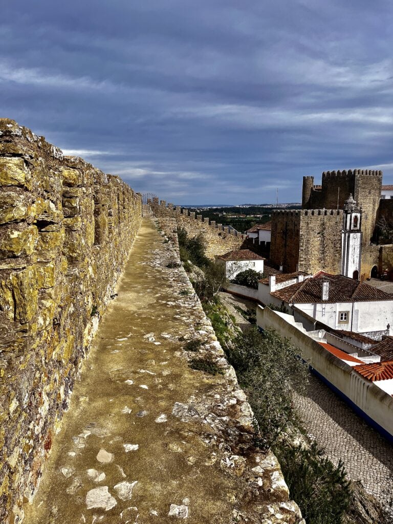
Óbidos is a small medieval town surrounded by walls that can be walked on. We parked conveniently in the big free parking area and entered the town through the main gate. There awaits a charming town with cobblestone streets, old churches, a castle area, and walls to walk on for a view from the top. It is small enough to wander around without getting lost. After visiting the churches and walking on the walls, we returned to the main streets to explore the shops and, most importantly, taste Ginja.
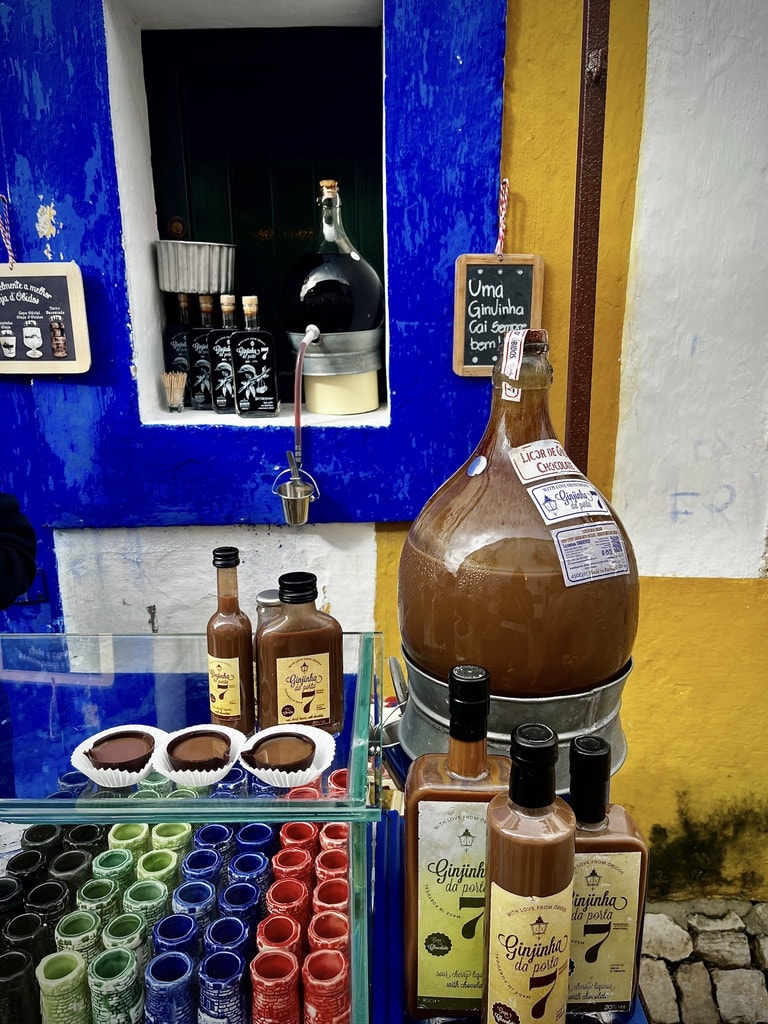
Ginjinha is a traditional drink made from sour cherries soaked in alcohol. There is the original version served in small cups or the chocolate one. We chose the chocolate; the shot comes in a small chocolate cup and is delicious. We couldn’t resist buying a bottle to take home with us.
View of ÓbidosGinjinha testingÓbidos city walls
Peniche
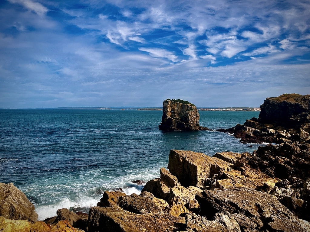
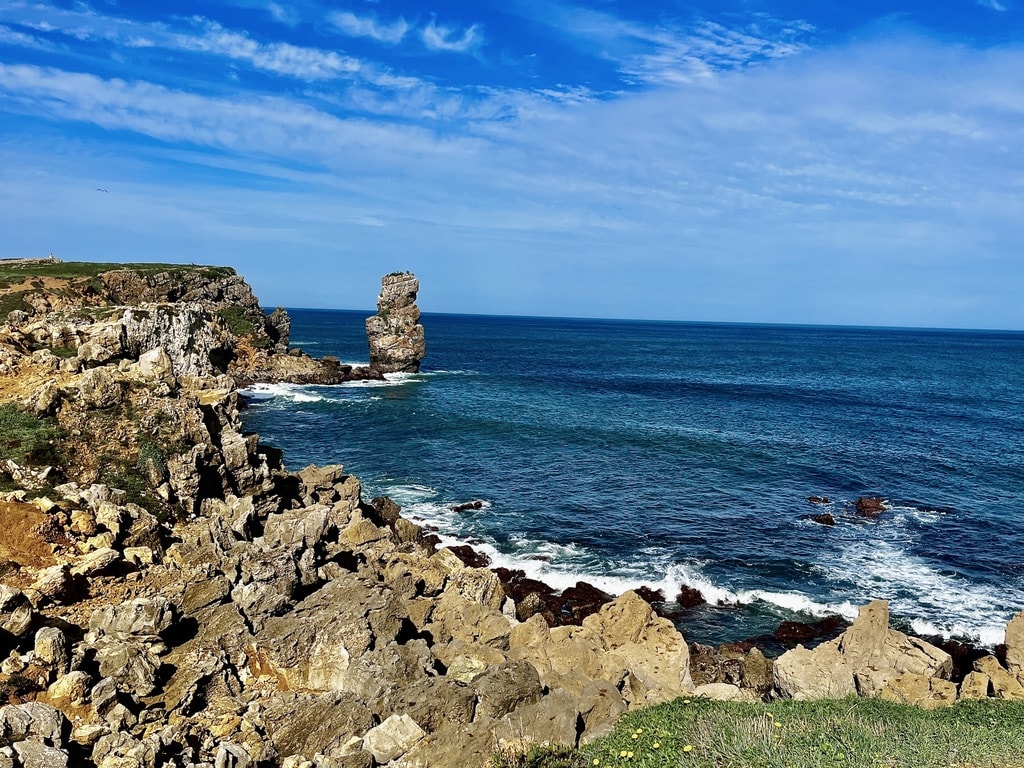
We spent about 2.5 hours in Óbidos, then set off for the drive to Peniche, which took about 15 minutes. There isn’t much to see in Peniche town, but the drive and walk on the coastline are beautiful. We first drove to the lighthouse and were lucky enough to spot a dolphin playing in the waves. Then we drove back alongside the coastline and parked at the spot where one of the big ships full of copper, silver and gold wrecked into the ocean in 1784. Walking around the rocks offers fantastic views of the Atlantic Ocean.
Finding a restaurant for a late lunch was challenging, but we eventually found a spot. While it may not have been the most amazing, we grabbed a burger and coke there.
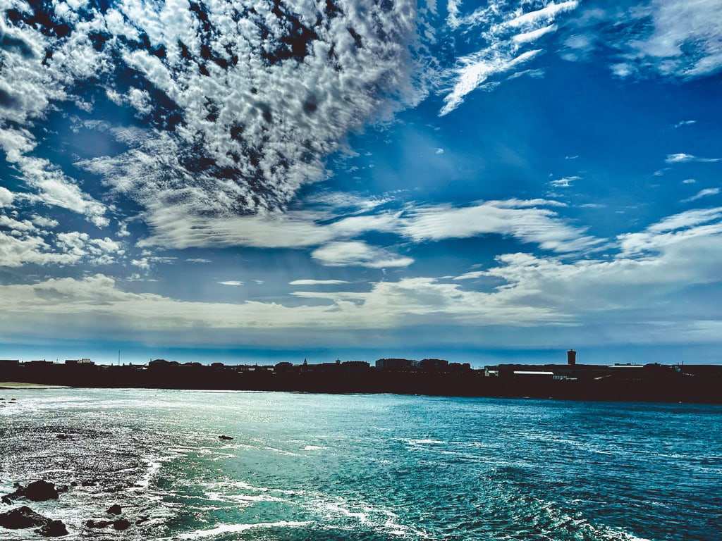
Peniche CoastlinePeniche CoastlineClouds over the Atlantic Ocean
Back in Nazaré
In the evening, we spent time in Nazaré, wandering around the beachfront area where the Nazaré carnival was happening. The beachfront street was filled with people in costumes, alegoric carnival-decorated vehicles, and a stage with live music, creating a lovely atmosphere to enjoy.
Day 6: From Nazaré to Porto. Stop over in Coimbra
Coimbra
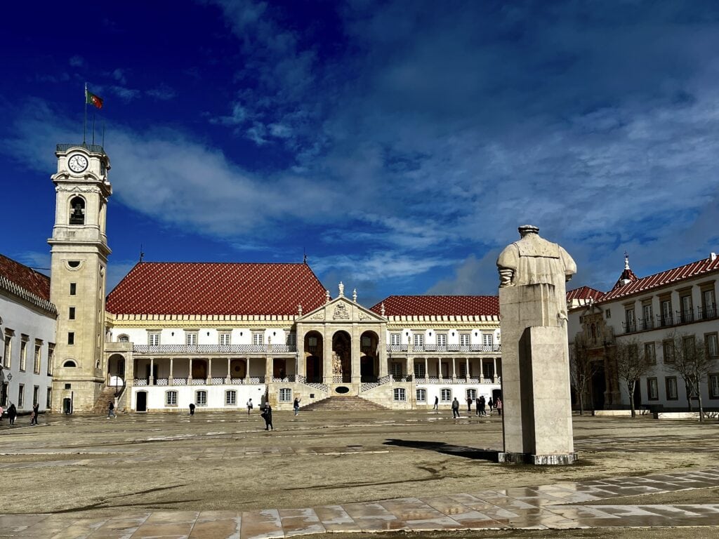
The drive from Nazaré to Porto is approximately 215 km, taking around 2 hours on the highway. While on the road, we decided to make a quick stopover in Coimbra, located approximately halfway. The main attraction in Coimbra is the University Campus,one of the oldest in the world. I parked the car in the underground garage under the local market place.
We walked uphill to reach the University, passing by and visiting the Old Cathedral on the way up. The University Campus is large and interesting to see, providing a view of the city. Walking around, we ended up on the main street in the bottom part of Coimbra, where we had coffee and a muffin before making our way back to the car.
In summary, Coimbra is okay for a quick in-and-out visit on the way to another destination. However, I would not choose to make it my primary target destination and stay overnight there.
Coimbra University
Arrival to Porto
We drove from Coimbra to Porto airport to return the car to Hertz. I decided that we didn’t need the car while staying in Porto. Upon returning to the car, I called Bolt (a service similar to Uber) to our hotel, Apart Hotel Oporto Anselmo.
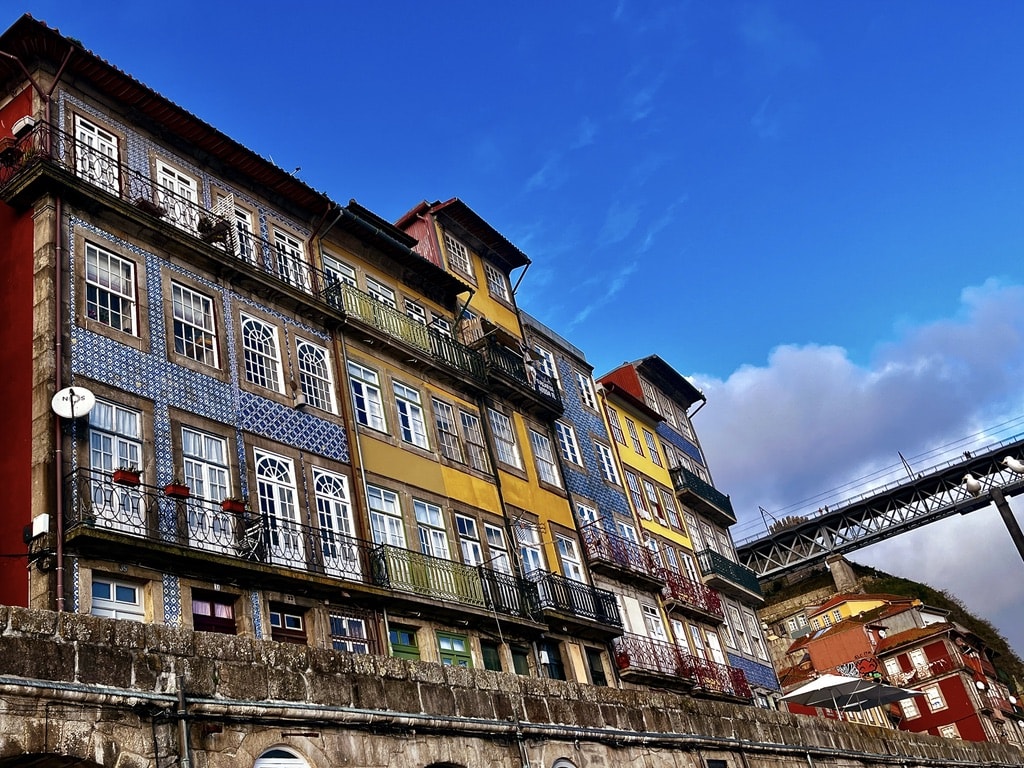
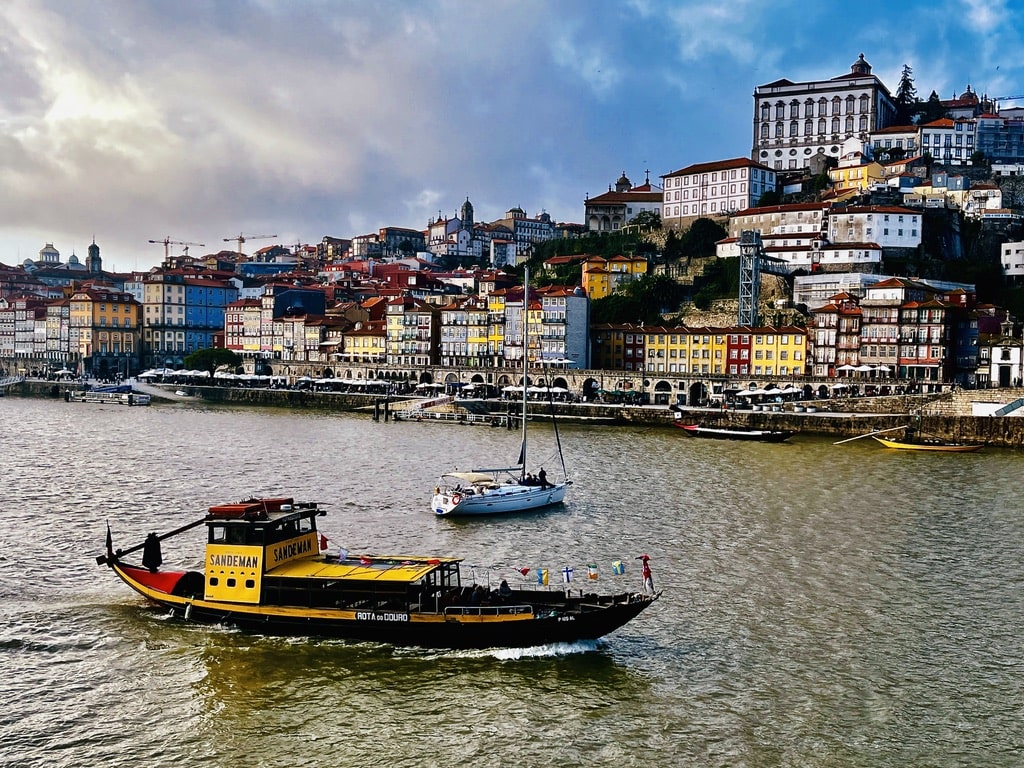
We started exploring Porto in the early afternoon. The main objective was to get oriented in the city and see the locations of the landmarks we wanted to visit. Porto is a city to walk around—unless you are a Hop-on-Hop-off bus fan. It is available in Porto (as in majority of big cities in Europe), but I do not use it. I prefer exploring the city on foot. We walked through the city to the bottom part called Ribeira.
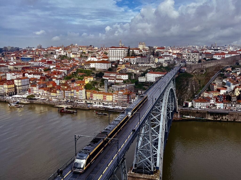
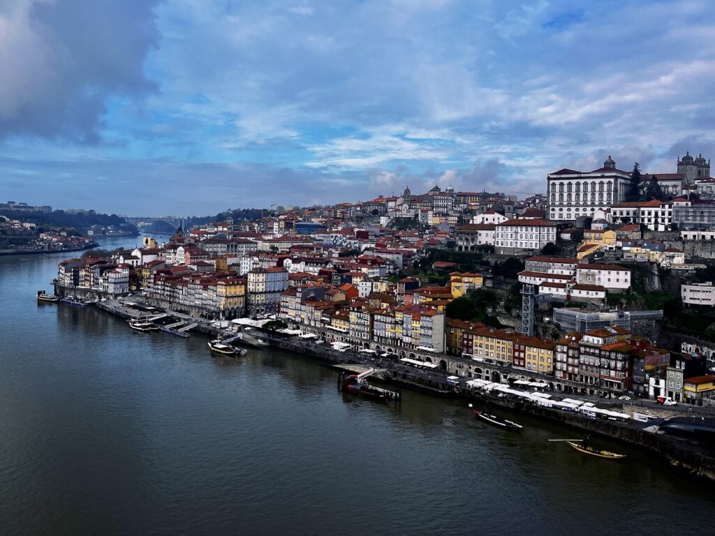
Ribeira is one of the most colorful and liveliest areas in Porto. It spreads alongside the Douro River, and one of the major Porto attractions, the Dom Luis Bridge, is right there.
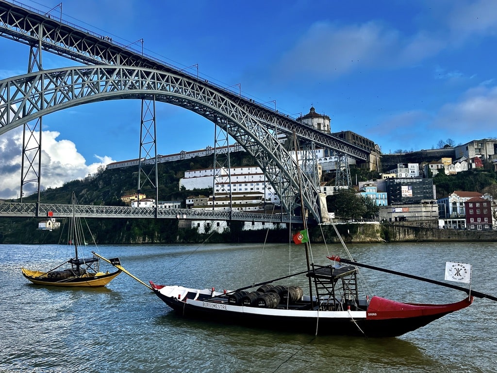
The Ponte de Dom Luis I was designed by the architect Teófilo Seyrig, who was, by the way, the business partner of Gustave Eiffel (yes, the one who designed and built the Eiffel Tower). We walked on the bottom part across the river on the day, leaving the top one for the following day. It is definitely worth crossing both the bottom and the top parts.
RiberiraDom Luis bridgeView from the bridge
Day 7: Porto
The last day of the trip was fully dedicated to Porto. And there is so much to see.
Porto Cathedral
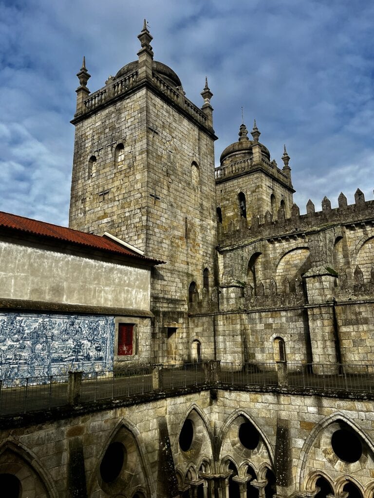
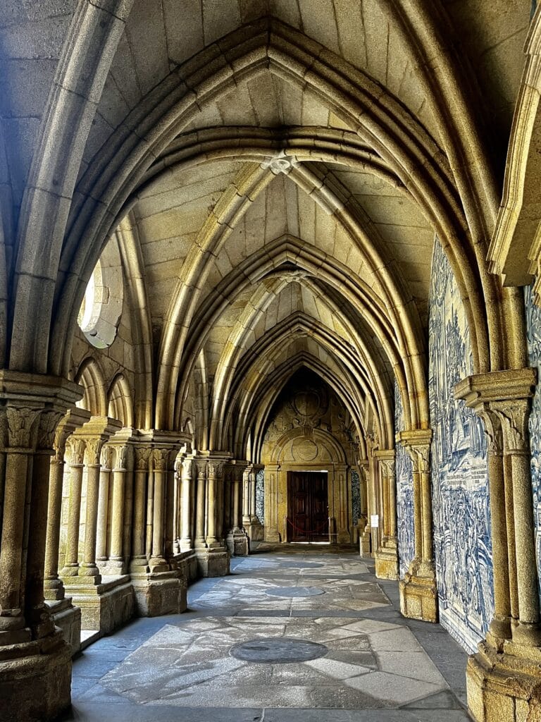
Originally built in the 12th century, Porto Cathedral has undergone alterations through the years, creating a mix of Romanesque, Gothic, and Baroque styles. Similar to other cathedrals we visited, it features an inside courtyard with vaulted ceiling corridors. From the top part, there is a view of Porto.
Porto CathedralVaulted corridorInside Porto Cathedral
Top part of the Dom Luis Bridge
When we finished exploring Porto Cathedral, we walked towards the top part of the Dom Luis Bridge. Crossing the bridge at the top offered a different perspective of the city.
On the other side of the bridge, there is an entry to the Teleférico de Gaia cable car. It runs alongside the river, probably providing a nice view over the Ribeira. Nevertheless, we decided against taking the ride and instead continued on foot.
Dom Luis bridgeView of Ribeira
Church of São Francisco
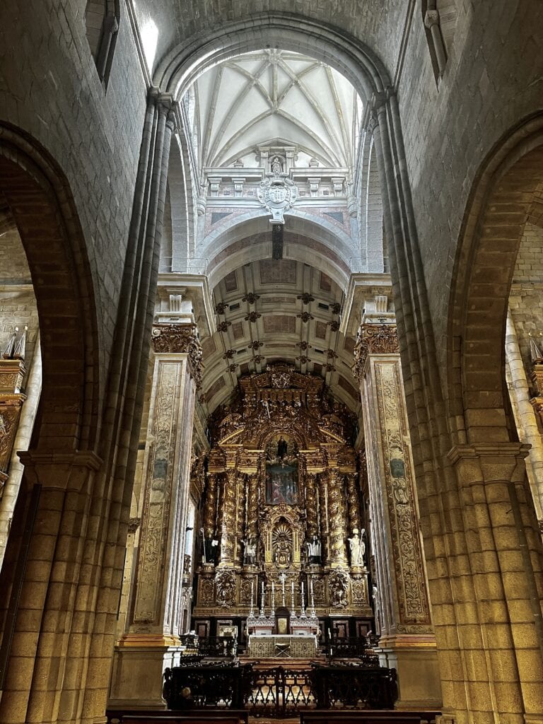
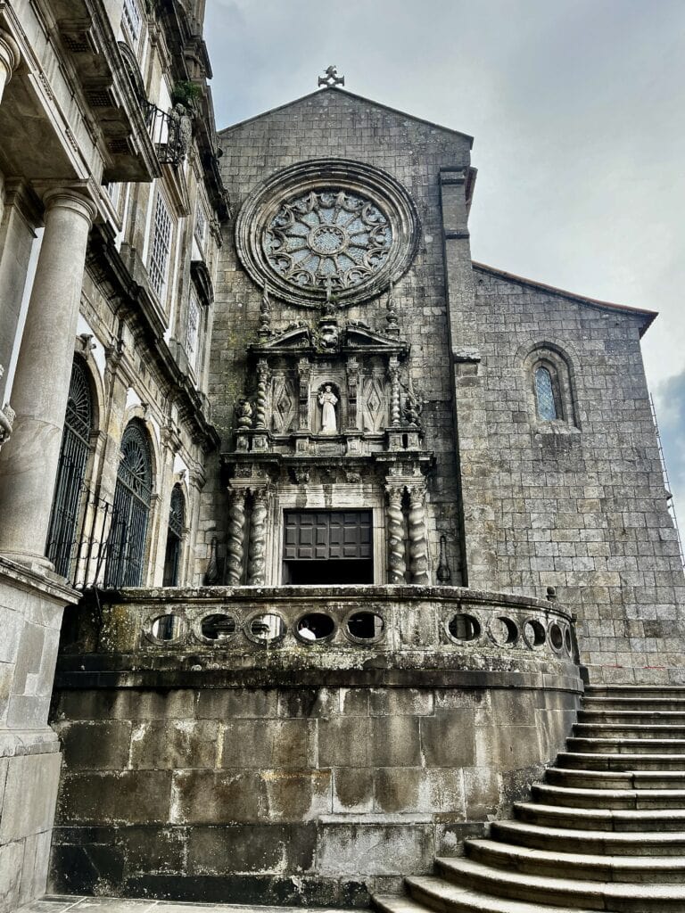
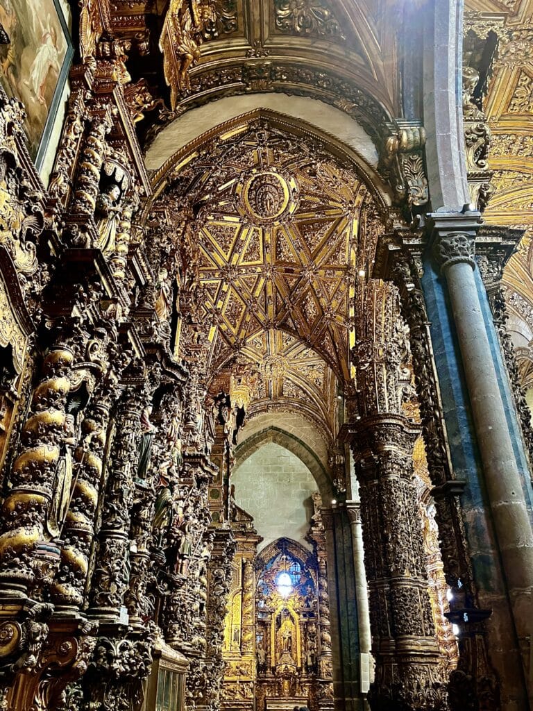
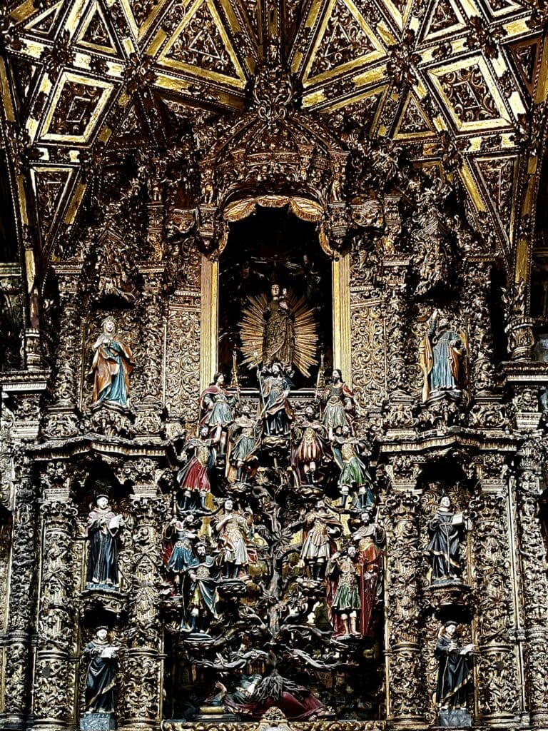
We crossed the bridge at the bottom part once again and stopped on the Ribeira side for a coffee overlooking the river. After that, we continued and visited the Church of Sao Francisco. It is definitely a place not to be missed. It is, for a reason, one of the most outstanding churches in Porto because of the interior decoration. It consists of wooden carvings all decorated by about 300kg of gold. One of the standing-out sculptures represents the Jesus family tree.
After visiting the church, we also explored the monastery part, where they sell the entry tickets. We looked at the catacombs where the monks are buried and at the halls on the first floor.
Church of São FranciscoInside São Francisco churchJesus Family tree
There are so many places to visit in Porto, and with limited time, one needs to choose. We passed by some of them without entering inside. Some notable ones include The Palácio de Bolsa, the headquarters of the Commercial Association in Porto and a conference center, or the Clérigos Tower with the adjacent church. The Clérigos Tower is one of the tallest in Porto, and it’s hard to miss. The climb up 240 stairs suggests that there will be a stunning view over the city.
Livraria Lello
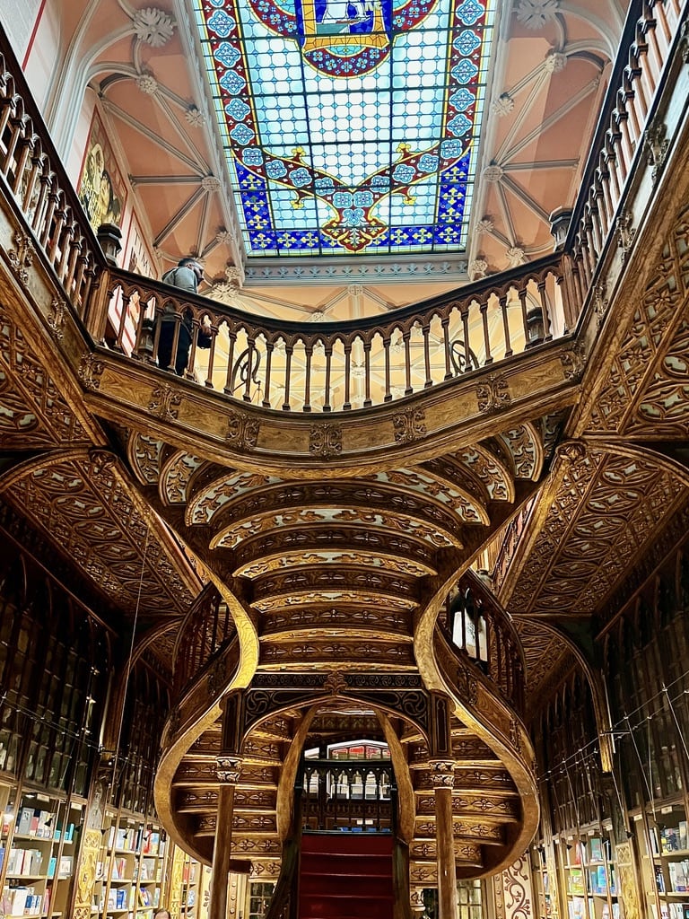
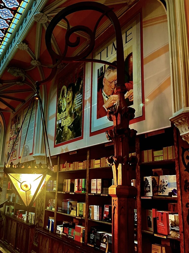
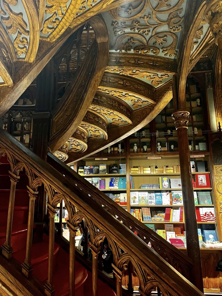
We chose to see Livraria Lello, the library believed to have inspired some Hogwarts scenes from the famous Harry Potter movie. Located close to the Clérigos Tower, it is clearly one of the big attractions with a line of tourists standing in front. Entry tickets with a time slot can be purchased only online at their official website livrarialello.pt. We secured the tickets on the day, but it might be a good idea to plan the visit a bit more ahead.
Livraria Lello Livraria LelloLivraria Lello
Day 8: Return to Prague from the Portugal road trip
We had an early morning flight to catch from the Porto airport. I pre-ordered Bolt the night before to avoid the morning stress and hassle.
Taking a Balkan road trip is always exciting and I don’t think I will ever get enough. This road trip took us from Prague through Budapest to Belgrade, across entire Serbia, down to Montenegro, Croatia and ended in Slovenia.
Table of Contents
Practical insights for the Balkan Road trip
Hungary
Hungary is an EU country and a member of the Schengen zone. Budapest, the capital city, is divided by the Danube River into two sides – Buda and Pest. The country has a population of approximately 10 million, and the official currency is the Hungarian Forint (HUF). Like in any EU country, cards are widely accepted for the majority of payments.
When driving on Hungarian highways, it’s necessary to have a highway stamp, which can be conveniently purchased online through the official website https://ematrica.nemzetiutdij.hu/en.
Serbia
Thecapital city is Belgrade, which lies at the crossroads of the Sava and Danube rivers. The country has a population of about 7 million people.
The official currency is the Serbian Dinar (RSD). During my three trips through Serbia, where I always stayed overnight in Belgrade, I never found the need for the local currency. Cards were widely accepted at hotels, restaurants, shops, and petrol stations.
If you travel on the highways, you will be stopped at the toll gates. Therefore, there is no need to buy a highway stamp.
Montenegro
Thecapital city is Podgorica. The official currency of the country is the Euro, even though Montenegro is not officially part of the EU. During our visit, we didn’t have a problem paying by card. However, in case of need, Euros can be withdrawn from ATMs.
Serbia a Montenegro are not a part of the EU, crossing the borders is not as seamless as within the EU Schengen zone. Ensure you have your car documents and Green card insurance ready for border crossing control. Additionally, arrange written consent if you’re driving someone else’s car, even if it belongs to a family member who isn’t traveling with you. During our trip, we crossed all the borders with our Czech ID cards and didn’t need passports, though I kept them in my bag just in case.
Croatia
Croatia is an EU country and part of the Schengen zone. The capital city is Zagreb, and the country’s population is approximately 3.9 million. The official currency is the Euro. Similar to any EU country, cards are widely accepted for the majority of payments.
When driving on highways in Croatia, there’s no need to purchase a highway stamp, as toll gates are in place to facilitate payment for highway use.
Day 1-2: Prague – Budapest – Belgrade
Budapest
Prague – Budapest: 532km, 5,5hours
We set off in the afternoon, arriving in Budapest late in the evening. We chose to stay at the Griffin Guest House right in the city center. The accommodation is lovely; however, the only downside is that it does not provide private parking, and we had to find a spot in the busy streets.
Since we lived in Budapest for several years, we know the city well and, therefore, didn’t plan to explore it. If you have not been to Budapest before, it is certainly the city to stay in for at least 2 days.
Just a few places not to be missed are:
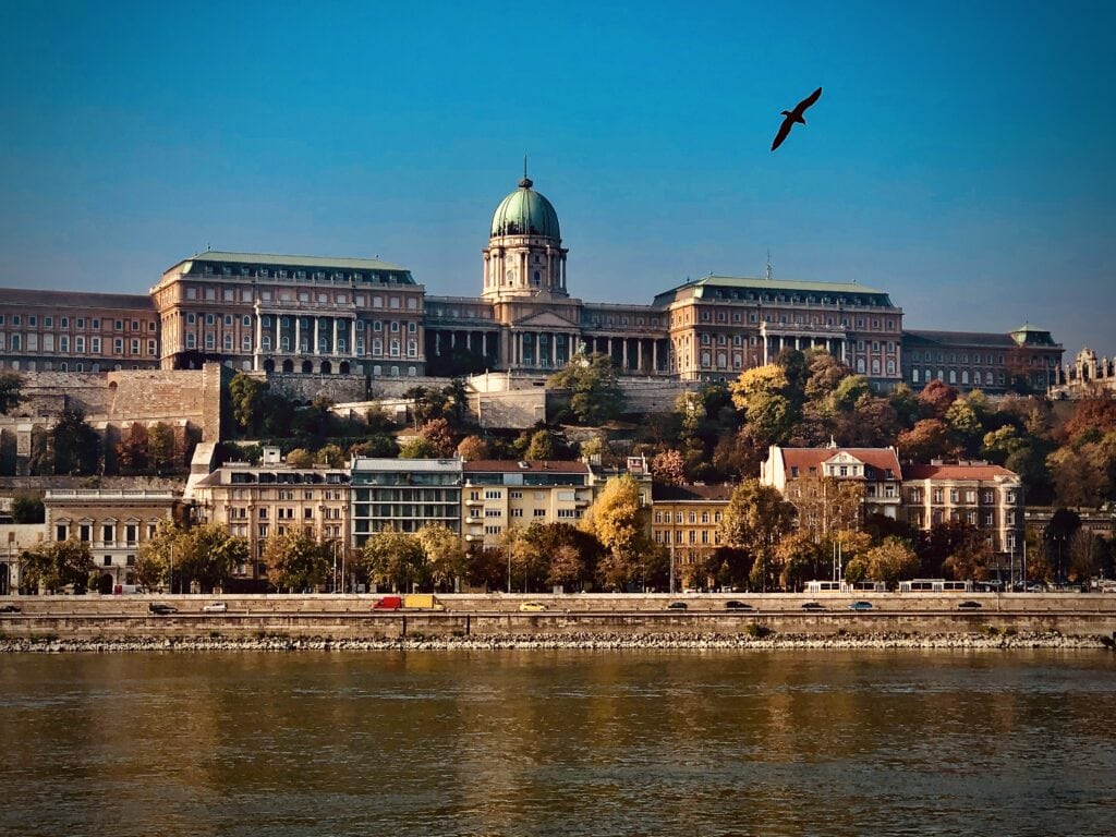
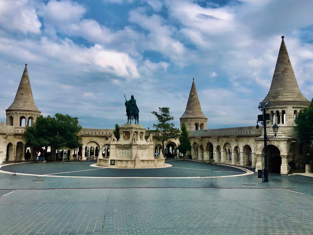
Fisherman’s Bastion
It is one of the most visited monuments in Budapest. It is situated in the Buda Castle area and offers beautiful views of the entire city.
View of Buda CastleFisherman’s BastionView of Budapest
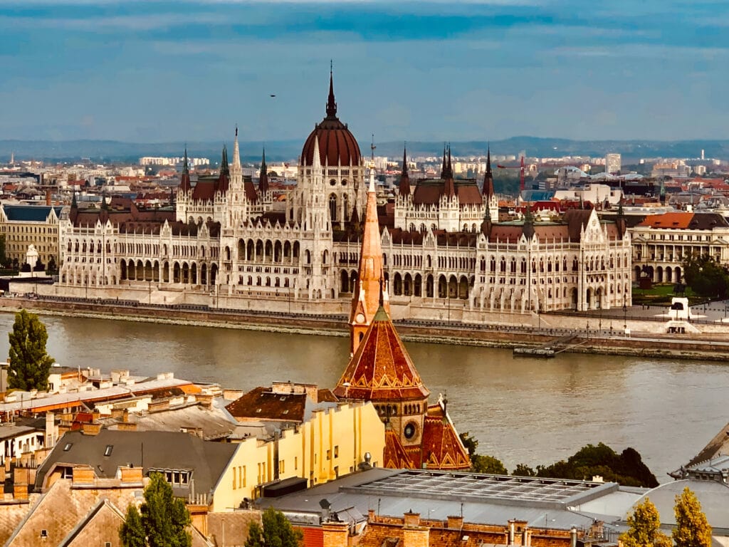
The Hungarian Parliament Building
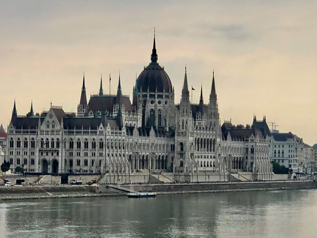
It serves as the official seat of the National Assembly of Hungary and is located on Kossuth Square in the Pest side of the city.
The Chain Bridge
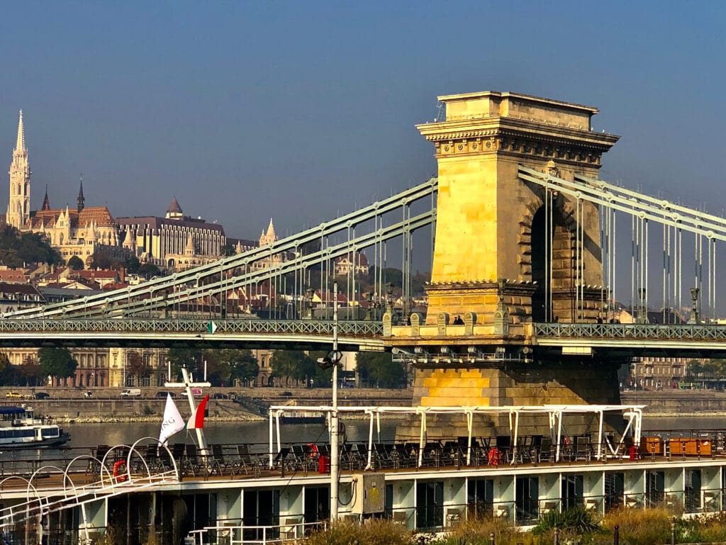
It is famous because it’s the first solid stone bridge connecting Buda and Pest across the Danube River. You can recognize it by the lion statues without tongues at each end in Buda and Pest.
The ParlamentSzechenyi Híd
Váci utca
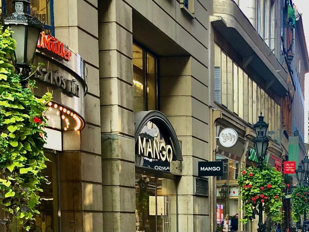
Take a stroll down the famous Váci Utca, situated in the heart of Budapest. This street is known for its shops, restaurants, and local souvenirs. At the end of Váci utca, you’ll find the Great Market Hall (Vasarcsarnok), built in 1897. It stands as the most beautiful and largest among all of Budapest’s market halls.
St. Stephen’s Basilica
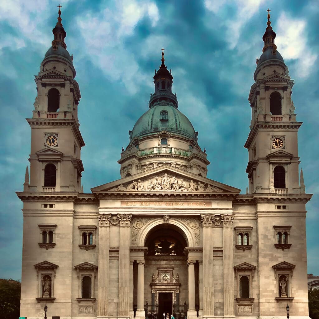
It is a Roman Catholic basilica named in honor of Stephen, the inaugural King of Hungary. The reliquary within the basilica holds the right hand of King Stephen.
Váci Utca
St. Stephen’s Basilica
There are, of course, many more, such as walking around Margit Szigét (Margaret Island), visiting Citadella above the city, or exploring the famous Gellért Spa.
Belgrade
Budapest – Belgrade: 380km, 4hours
After the morning walk in Budapest, we set off for our journey to Belgrade, Serbia 🇷🇸. Initially, it seemed like a straightforward 4-hour drive. Unfortunately, we experienced significant delays at the border crossing between Hungary and Serbia. Moments like these make one truly appreciate the convenience of the EU Schengen zone!
Arriving early evening, we only had time for a quick walk in the city center and dinner in one of the open street restaurants.
BelgradeBelgrade city center
On the next morning, we went to explore the Belgrade Fortress. It is situated at the confluence of the River Sava and Danube. The history dates back to Celts, and it was later expanded by the Romans and Byzantines.
Belgrade FortressAround Belgrade Fortress
Belgrade – Žabljak: 383km, 5,5hours
At lunchtime, we had to set off as our next destination was Žabljak in Montenegro 🇲🇪. It was a long drive as the majority of the route is a national one through the Serbian countryside.
Day 3: Žabljak. In the heart of the Durmitor National Park 🇲🇪
Žabljak is a small town situated in the heart of Durmitor National Park. At an altitude of 1,456m, it is considered the highest positioned town in the Balkans.
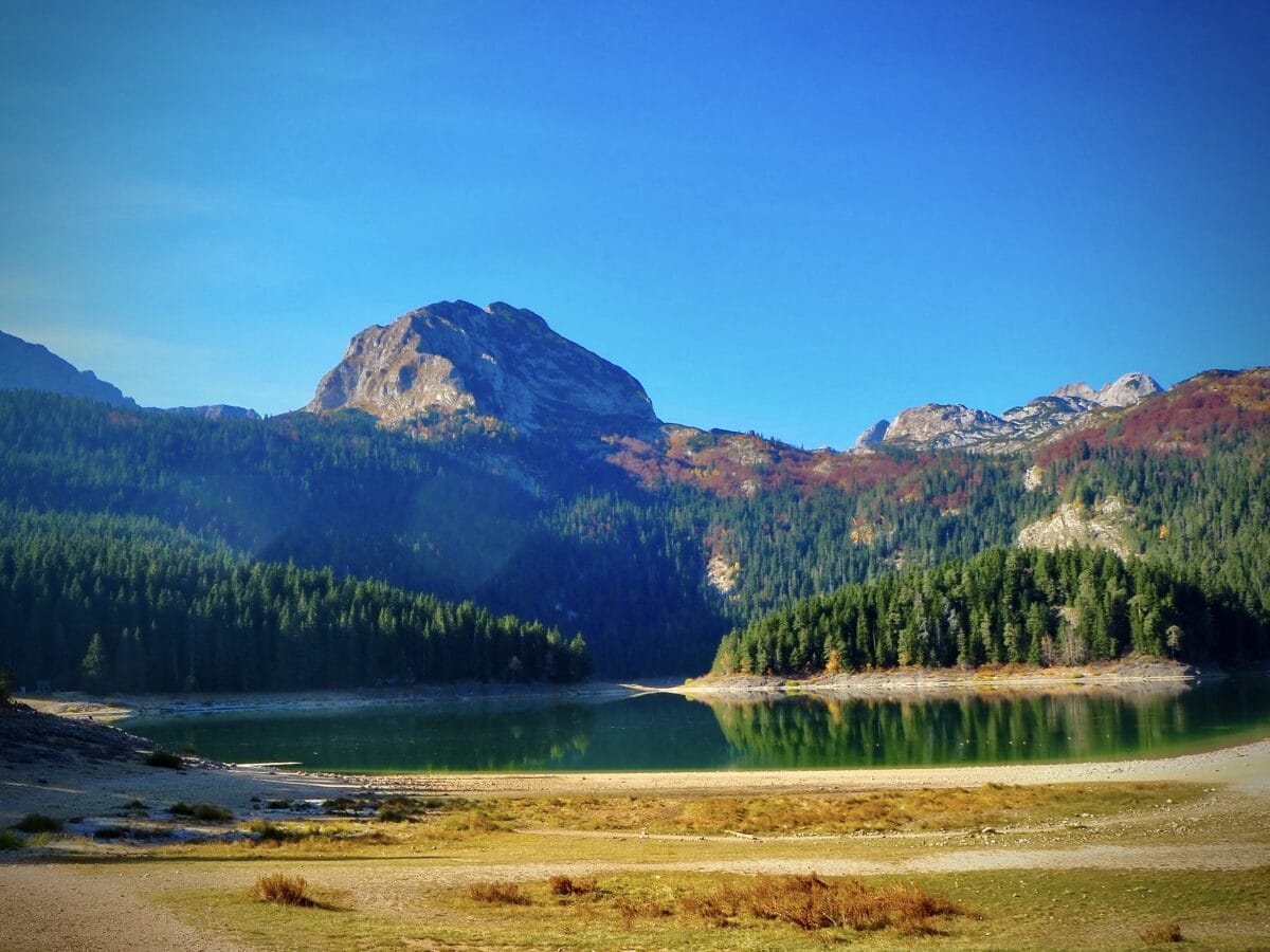
Durmitor National Park is known for its hiking trails that lead to scenic viewpoints, pristine lakes, and the iconic Black Lake. The center of the park is the Tara River Canyon, one of the deepest in Europe. The park is a UNESCO World Heritage Site.
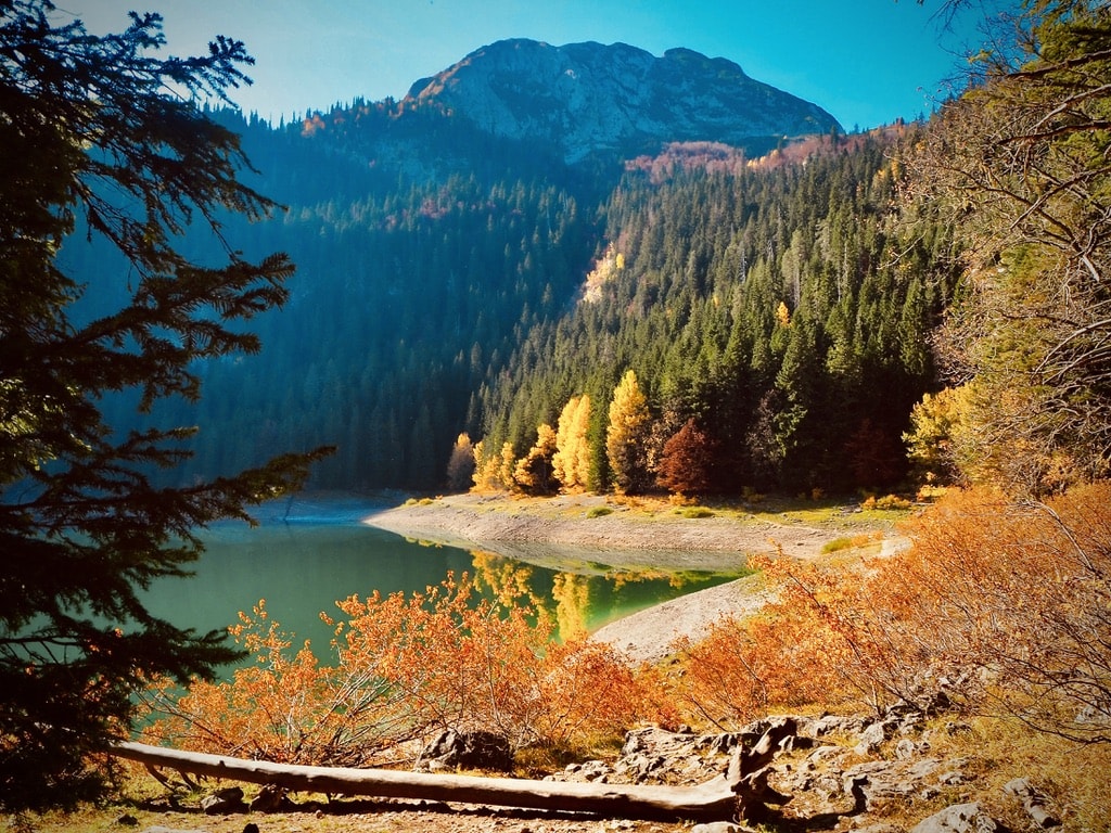
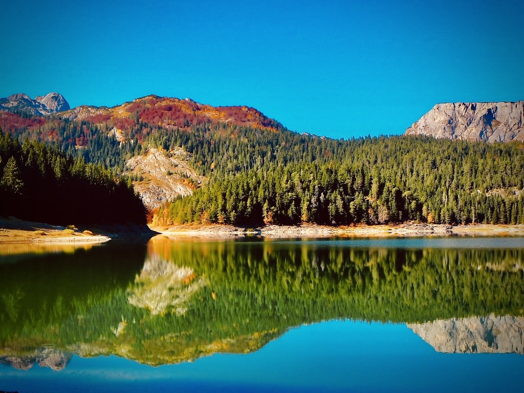
Our target for the day was to hike towards Crno jezero (Black Lake) and explore the canyon. The Black Lake is the largest and best-known of the 18 glacial lakes on the mountain. There is about a 3.5 km walking path that circles around the entire lake, offering stunning views.
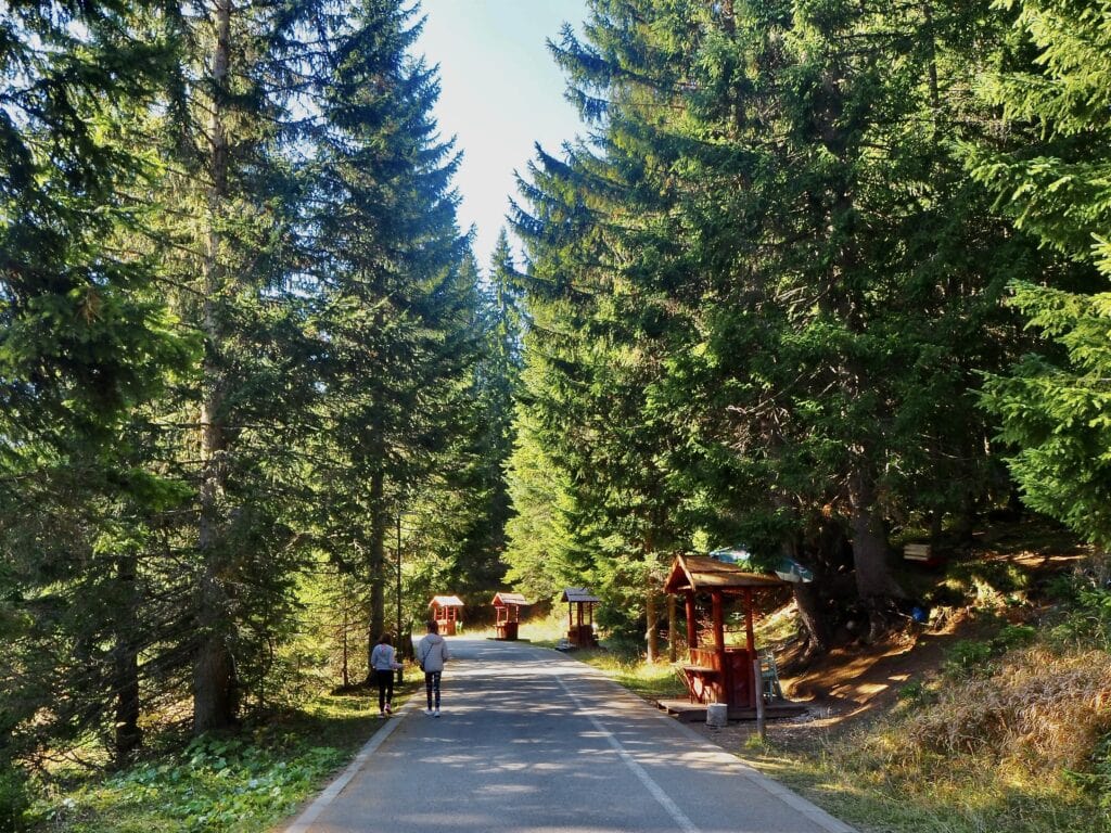
Road towards the Black LakeBlack lakeBlack LakeBlack lake
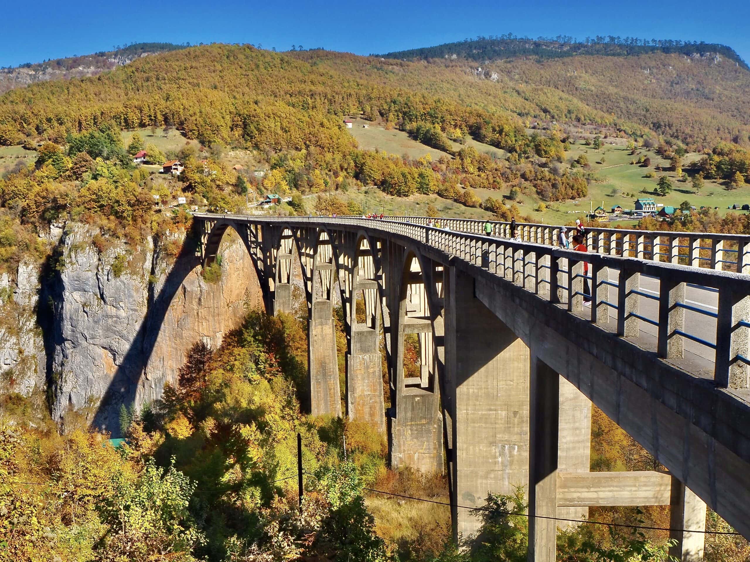
After exploring the area around the Black Lake, we headed to the Đurđevića Tara Bridge over the Tara River Canyon. The Bridge is a remarkable concrete arch bridge spanning the Tara River canyon in northern Montenegro. Completed in 1946, it was, at the time, the largest vehicular concrete arch bridge in Europe. Adventurous visitors can also experience the thrill of zip-lining across the canyon, offering a unique perspective of the stunning natural surroundings.
Đurđevića Tara BridgeTara river canyonView of the Durmitor National park
Day 4: Budva 🇲🇪
Žabljak – Budva: 180km, 3hours
We continued our trip with a drive from Žabljak to Budva on the next day. Budva is a holiday seaside town and resort. The “modern” town extends along the beaches, blending old buildings with modern high-rise hotels and apartment blocks.
We visited Budva in October, outside the main holiday season, and even then, parking was problematic. We booked an apartment in Gufo apart with a private garage, and I would recommend everyone to do so. I cannot imagine how busy the town must be during the main season, making parking extremely difficult.
Budva – beach viewStreet in BudvaView of Old Budva
Apart from the beach life, the beauty of Budva lies behind the ancient walls of the “Old Budva,” which is 2500 years old. When we entered the ancient streets, we found ourselves in a different world.
Street in Old BudvaOld BudvaChurch of Saint Ivan
Day 5-6: Dubrovník, Croatia 🇭🇷
Budva – Dubrovník: 92km, 2,5hours
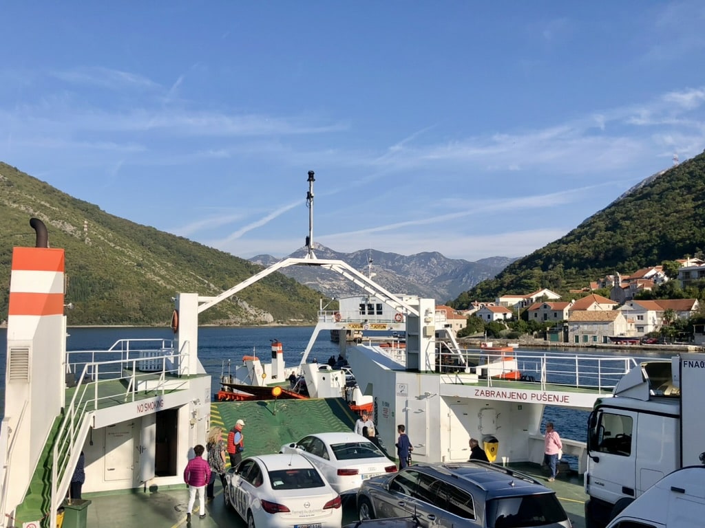
The distance between Budva and Dubrovník is not far, but it takes some time. We drove on the Jadranska Magistrala alongside the Adriatic coastline. The drive also involved crossing with the ferry.
On the ferryView of the ferry
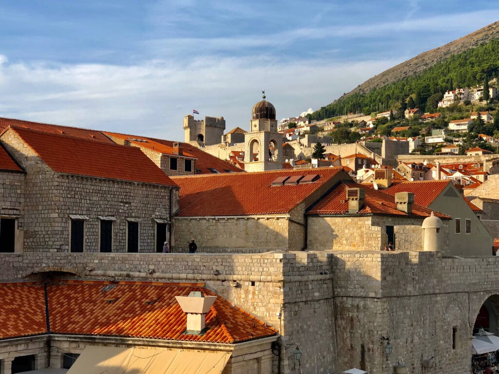
Dubrovnik is a busy town with limited space. As with Budva, accommodation with parking is a real must. We stayed in an apartment that didn’t have private parking, but the host navigated us to a very convenient nearby parking house. After settling in, we started to explore Old Dubrovnik.
Old Dubronik is a UNESCO World Heritage Site and one of the most well-preserved medieval cities in the world.
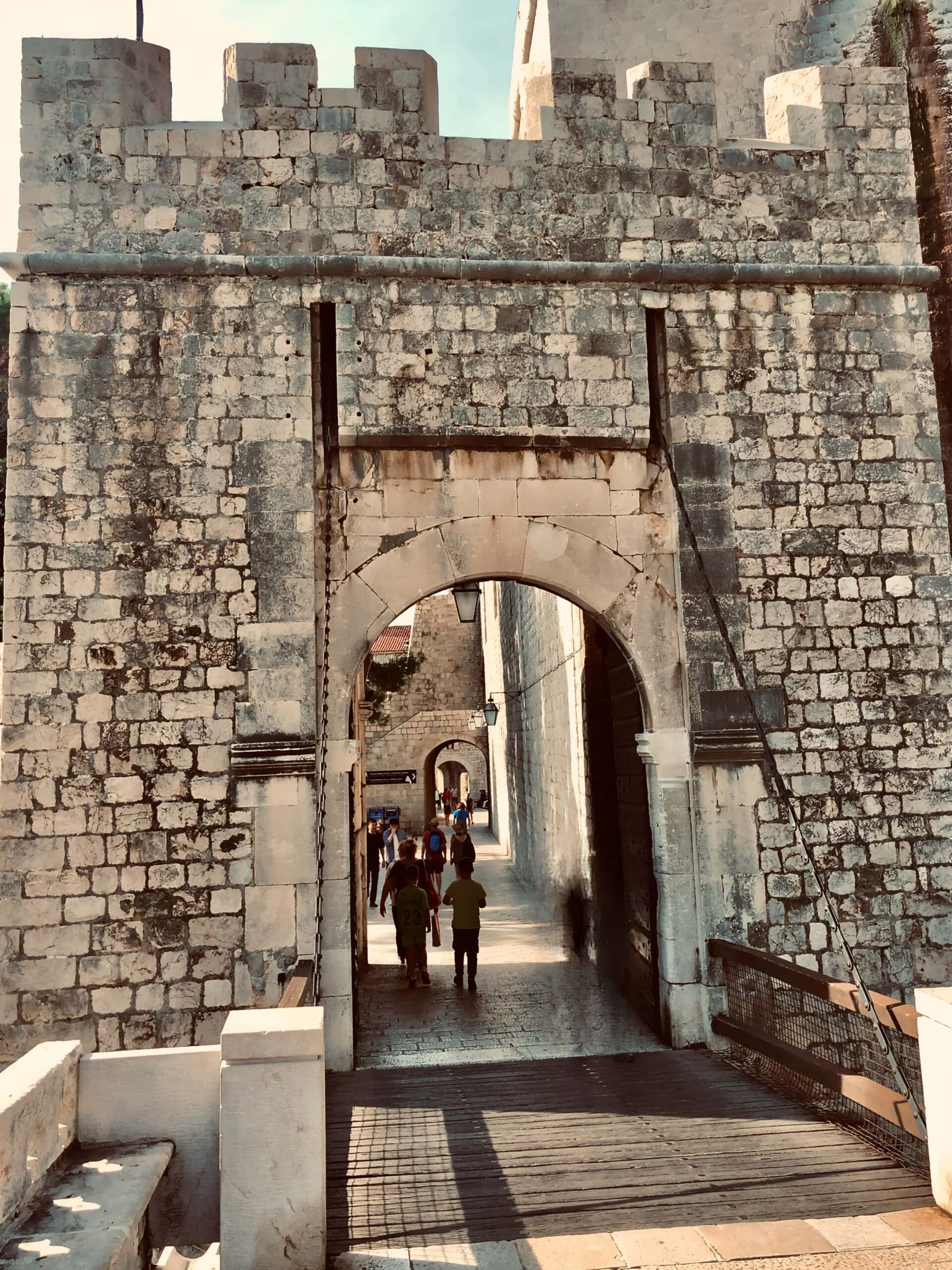
Pile Gate
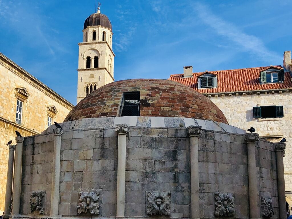
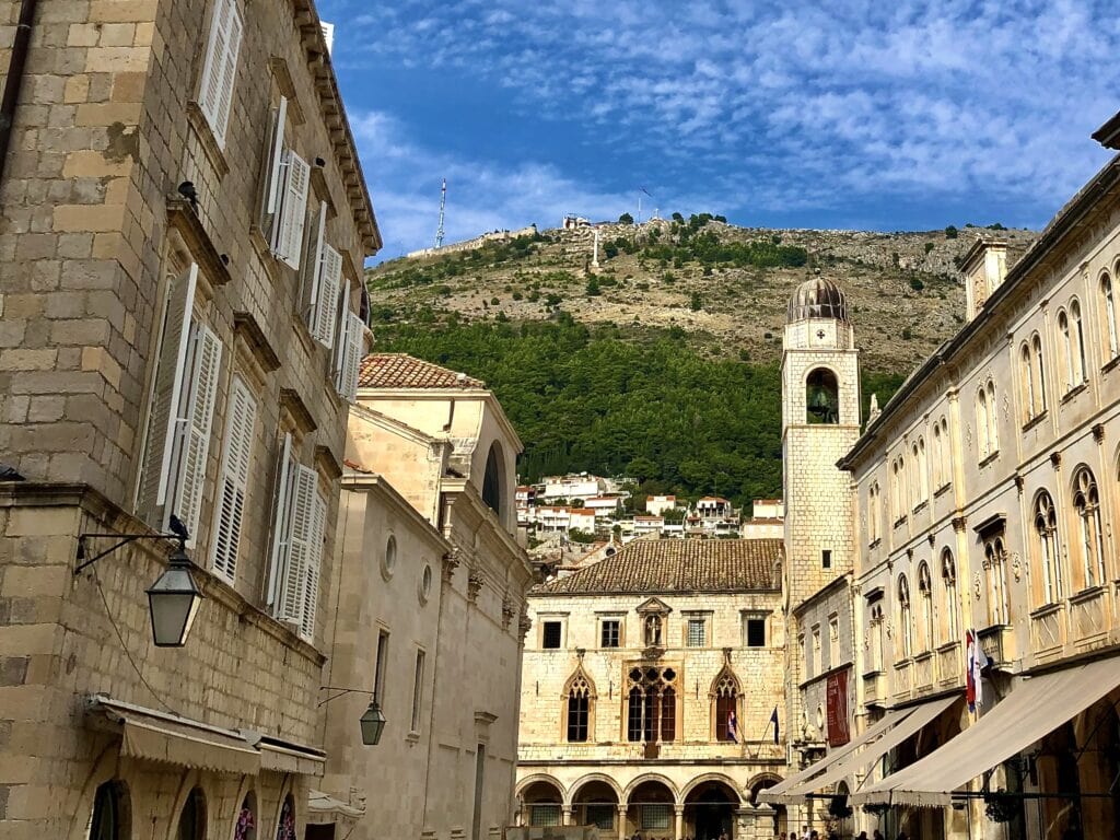
We went into the Old City through the Pile Gate, the main entrance that led us to the Stradun, the main street in Dubrovnik. The Stradun is full of shops, cafes, and restaurants. Sponza Palace and the Onofrio Fountain can be found along the Stradun.
The Onofrio Fountain is a big circular fountain built in the 15th century, and it used to give fresh water to the city.
The Sponza Palace is an old building from the 16th century with a mix of Gothic and Renaissance styles. Now, it’s where they keep important records in the State Archives.
Onofrio fountainSponza palace
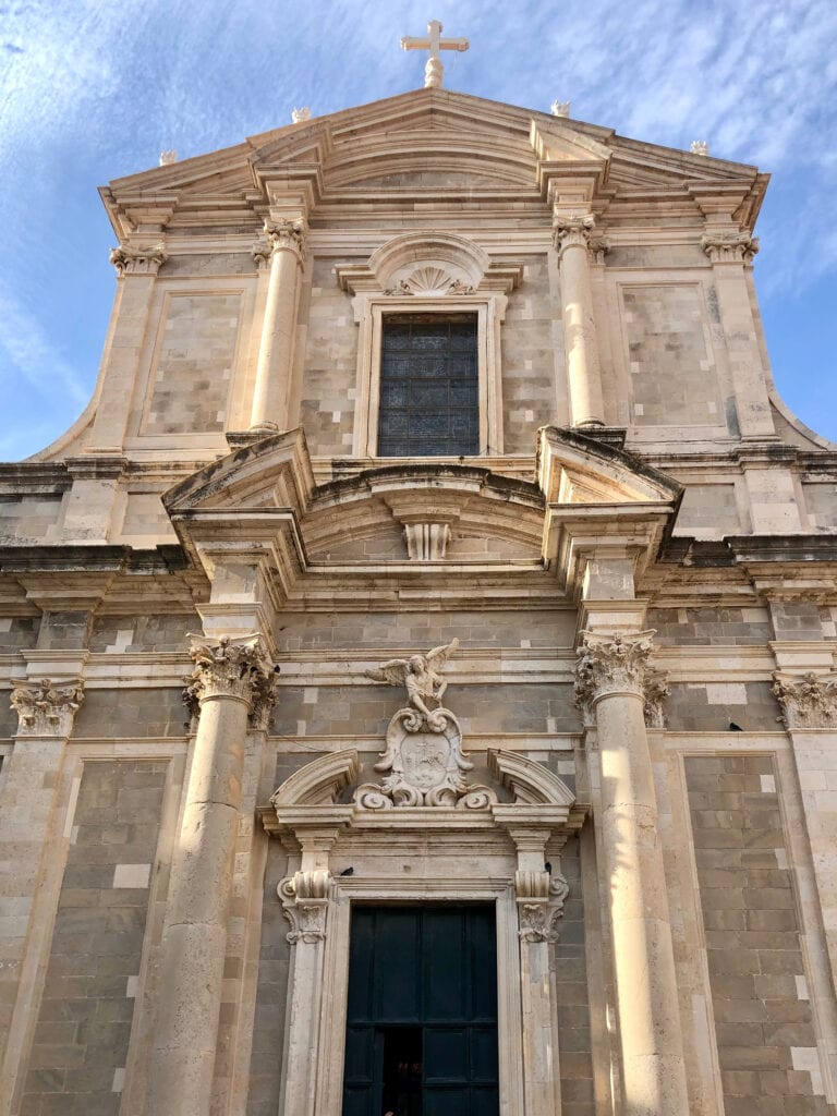
The Church of St. Ignatius is a fancy church built in the 17th century by a Jesuit architect named Ignazio Pozzo. It’s dedicated to St. Ignatius of Loyola, who started the Jesuit order.
Church of St. IgnatiusView of the city
Fort Lovrijenac is situated just outside the western wall of the Old Town. It is a robust fortress that served both defensive and symbolic roles throughout history. Constructed in the 11th century, it provides panoramic views of the sea and the city.
Fort LovrijenacView of the Adriatic Sea
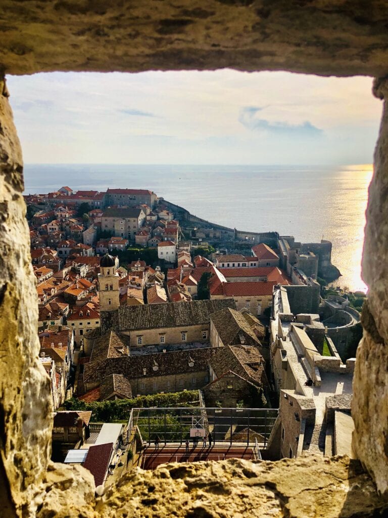
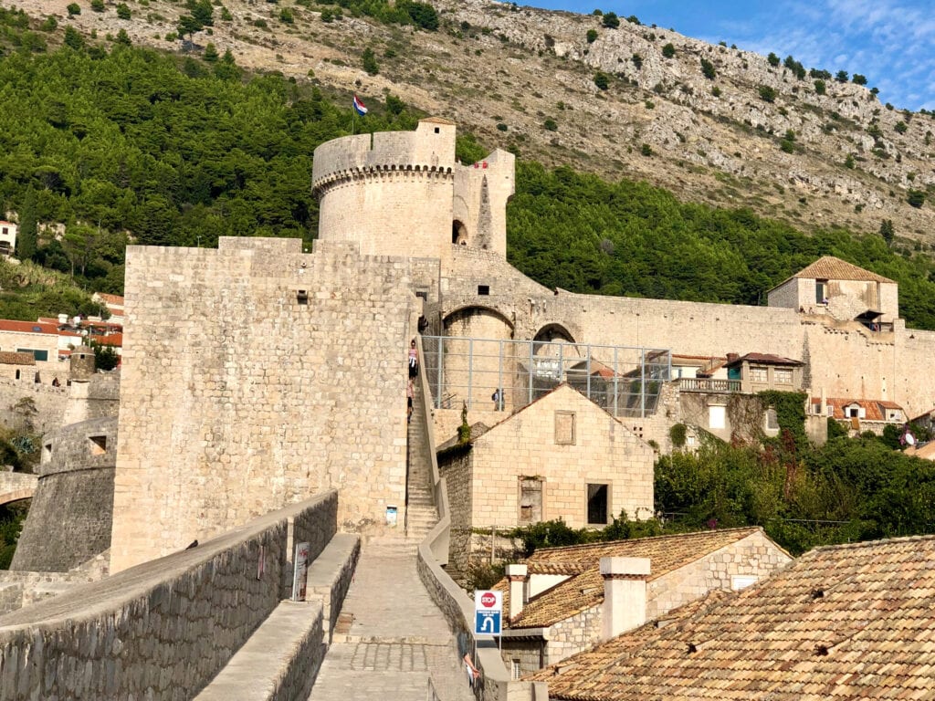
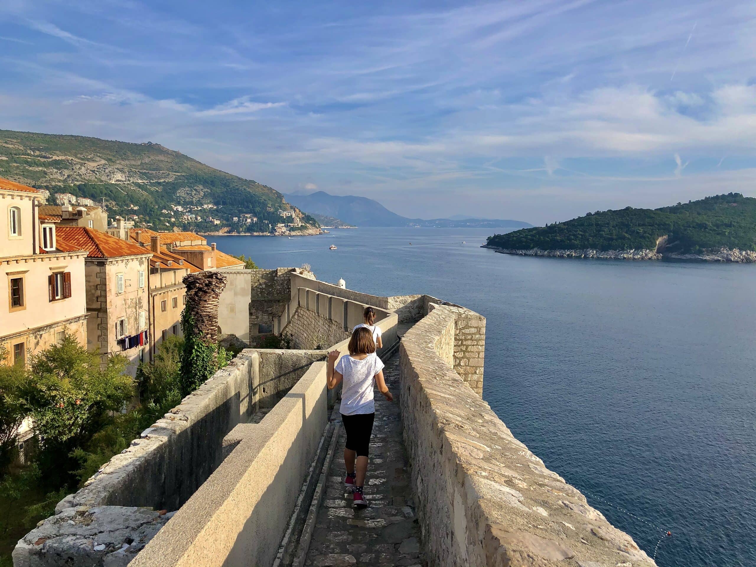
The best part of our time there, besides having the best ice cream ever, was walking on the City Walls. These walls were put up mostly in the 14th and 15th centuries and go on for about 1.9 kilometers. We enjoyed the views of the Adriatic Sea and the whole Old City.
City WallsCity Walls walkView of the city
Apart from checking out these places, it’s just nice to walk around the city and take in the vibe.
Day 7: Rastoke
Dubrovník – Rastoke: 484km, 5,5hours
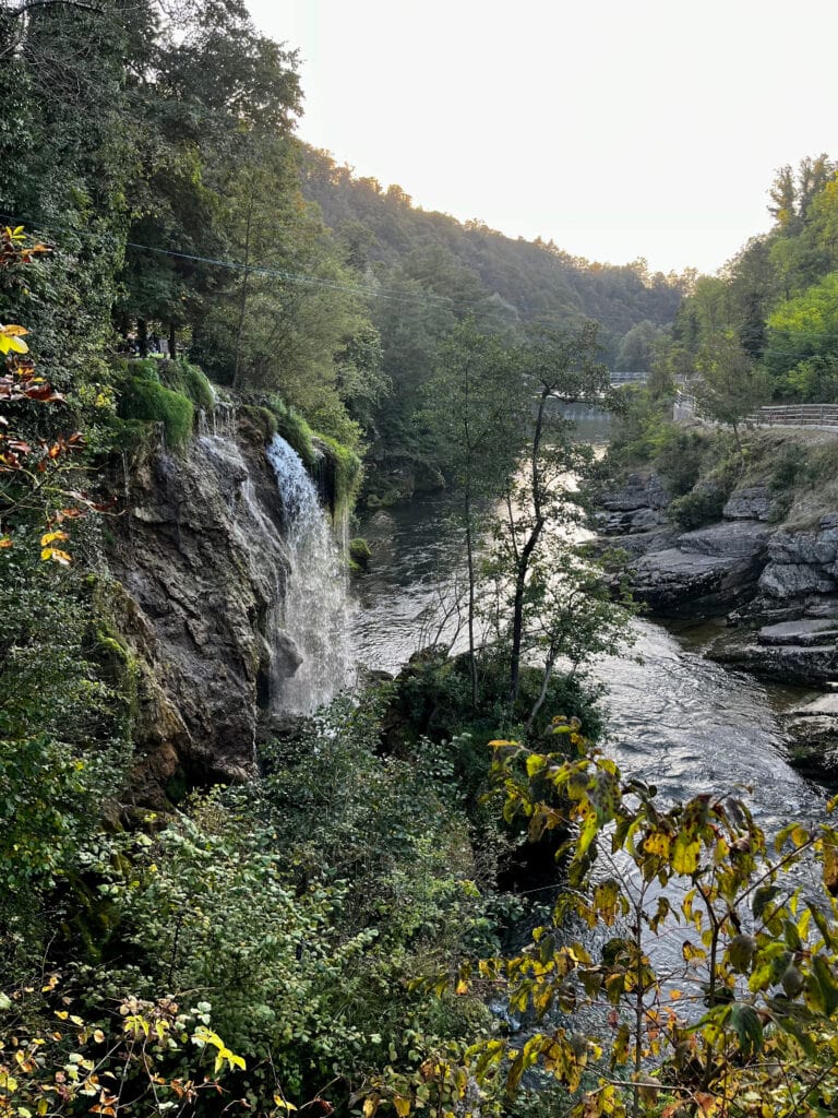
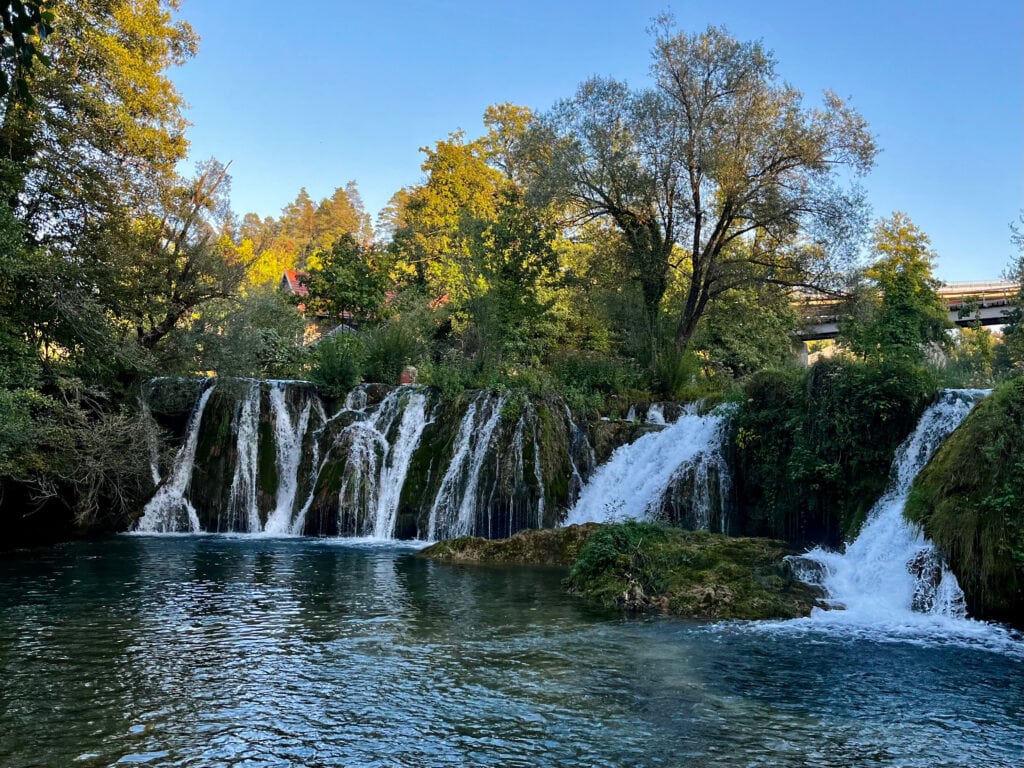
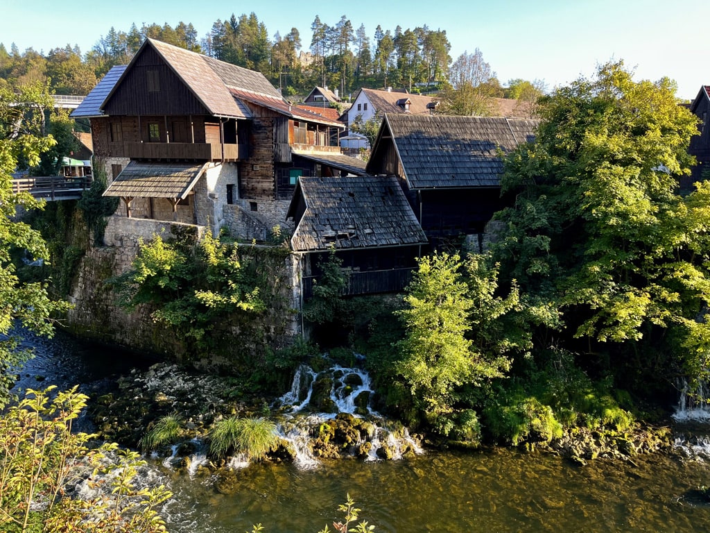
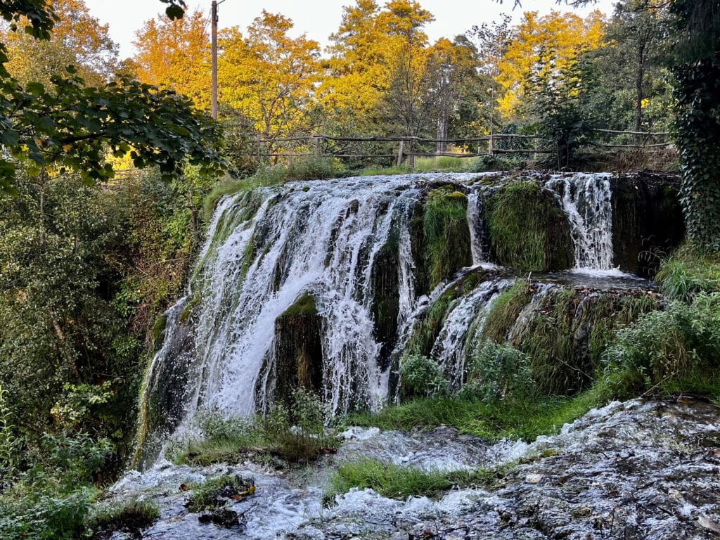
Rastoke is a picturesque village near the town of Slunj, often regarded as a hidden gem. It is sometimes referred to as the “Small Plitvice Lakes” due to its cascading waterfalls resulting from the convergence of the Slunjičica and Korana rivers. The village is also characterized by charming watermills dating back to the 17th century.
The reason we chose to stay in Rastoke was not solely to experience the village and its waterfalls but also because of its proximity to Plitvice Lakes, our main point of interest.
Rastoke waterfalls and river
Waterfalls in RastokeRastoke villageWaterfalls in Rastoke
Day 8: Plitvice Lakes National Park
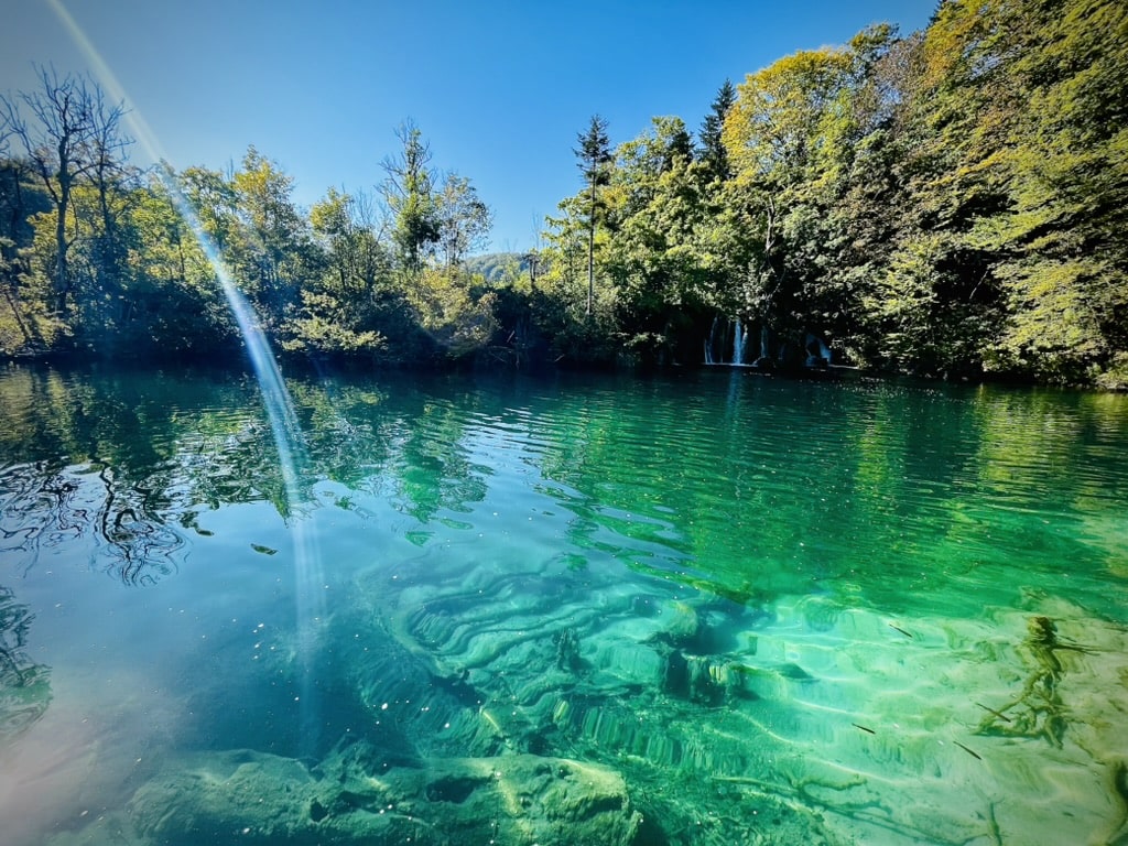
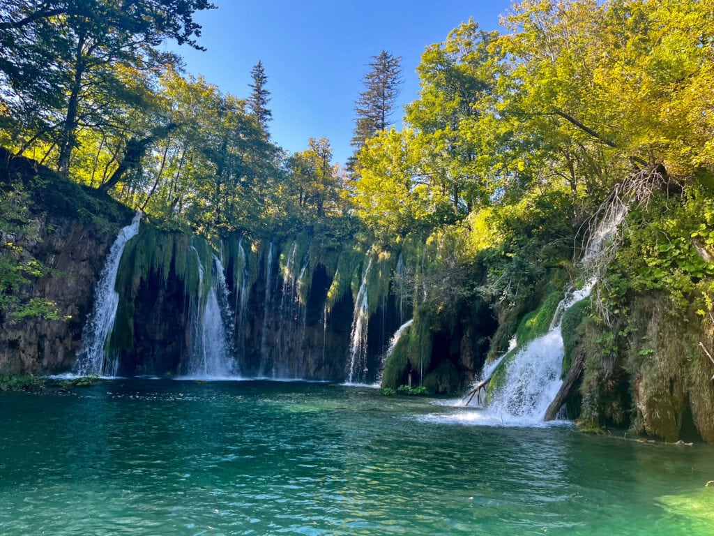
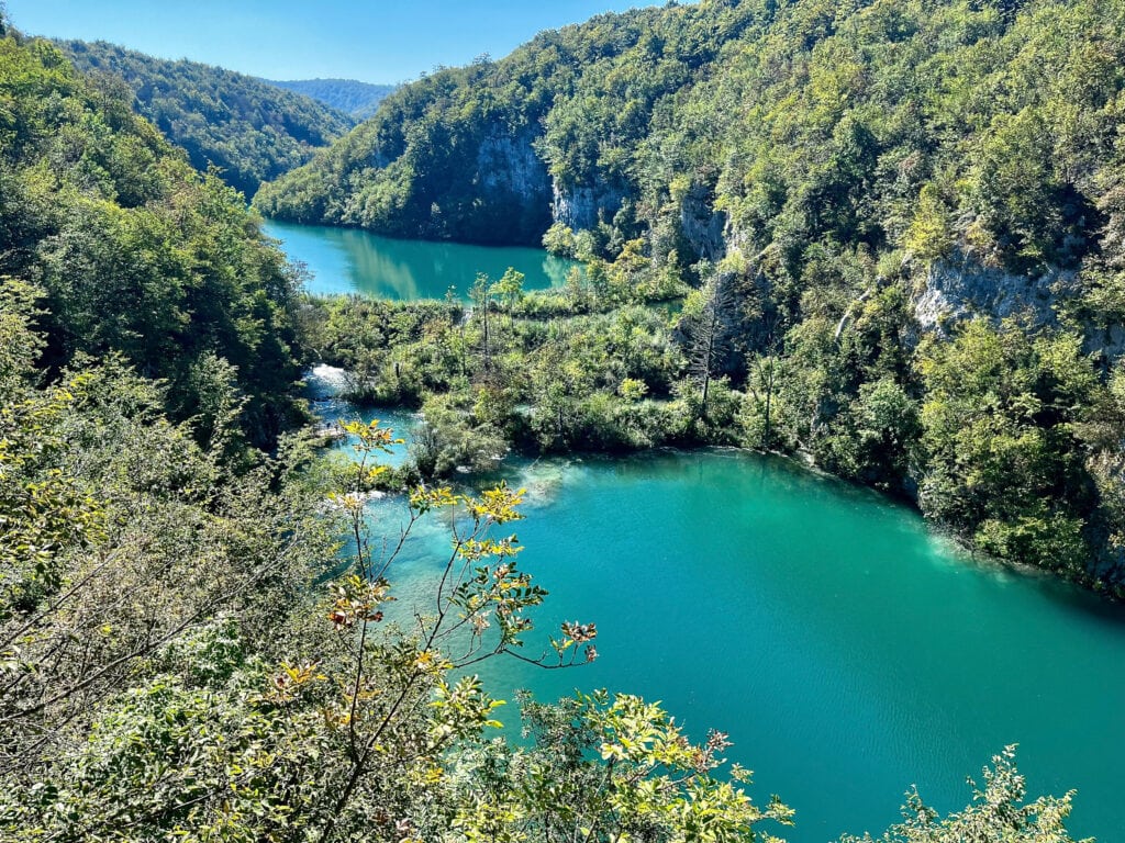
Plitvice Lakes is a UNESCO World Heritage Site, featuring a series of 16 terraced lakes and numerous waterfalls. These lakes are divided into upper and lower clusters, connected by a series of cascading waterfalls.
For our visit the next day, we purchased tickets online in advance through the official website of Plitvice Lakes National Park. The ticket included a specific timeslot for entering the park. Upon arrival, we parked in one of the official paid parking spaces conveniently close to the entrance.
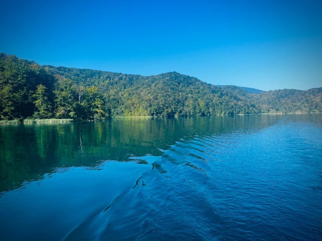
The park offers several routes, and we chose one of the most popular paths, which takes you around the bottom lakes and towards the upper park, including a boat ride—an activity included in the entry ticket. After exploring the upper lakes, we decided to take a shuttle bus back to the park entrance.
There aren’t many places in the park to purchase food or drinks, so I would advise carrying at least water and some snacks. If you’re wondering whether one day in the park is enough, I would say yes, but plan it as a full-day visit
Plitivce LakesWaterfalls
Day 9: Maribor, Slovenia 🇸🇮 – Prague, Czechia 🇨🇿
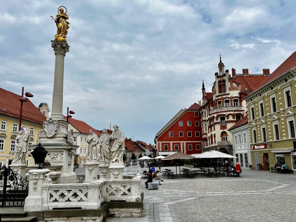
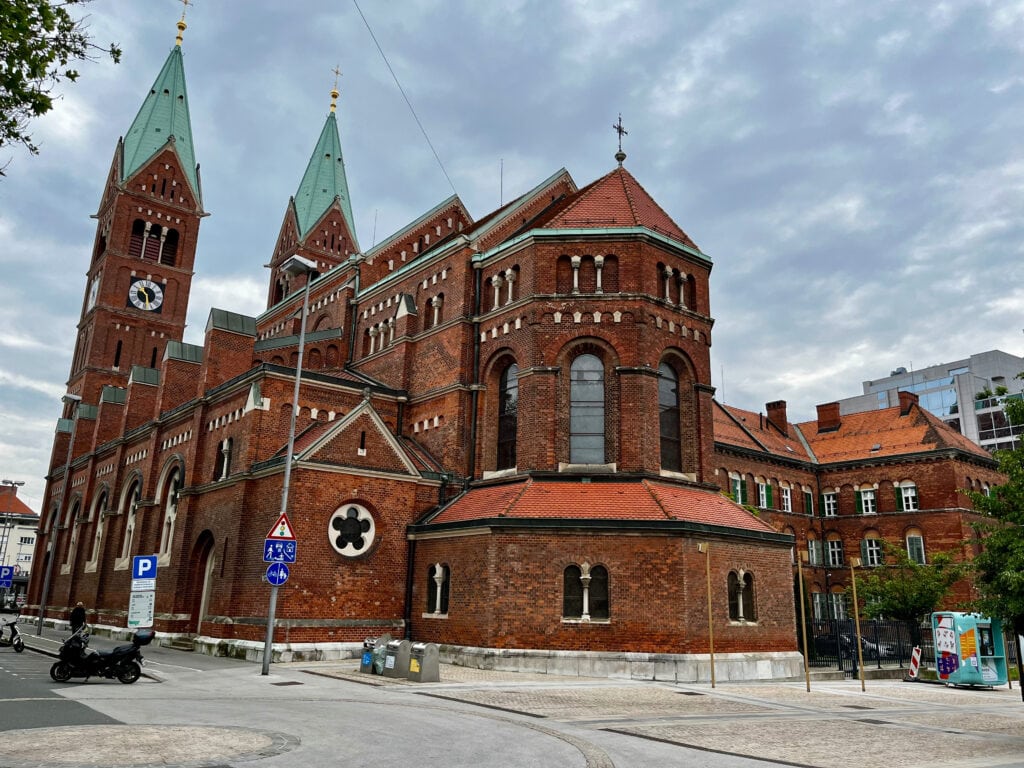
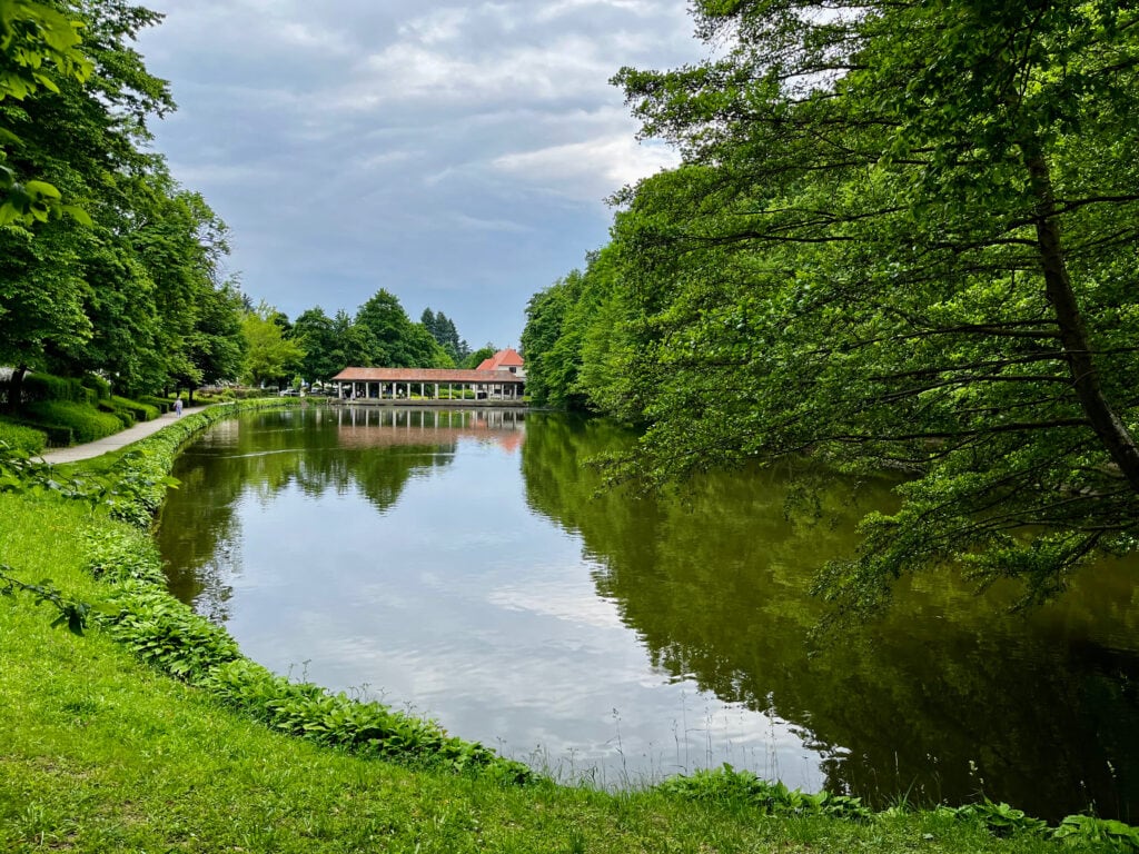
On the last day, on our way back home, we made a stopover in Maribor, Slovenia. Maribor, the second-largest city in Slovenia, is situated on the banks of the Drava River. The city is renowned for hosting the oldest grapevine in the world, known as the ‘Old Vine,’ making it a hub for wine enthusiasts. We relished a walk through the historic city center and the charming city park.
While living in South Africa during the COVID-19 pandemic, we took a safari road trip to Kgalagadi Transfrontier Park in South Africa and Etosha Pan in Namibia. Join me on the journey to explore the fascinating wildlife.
Table of Contents
Few words about South Africa
South Africa is easily accessible with major airlines operating international flights to these cities. A crucial travel tip is to always collect luggage upon arrival in Johannesburg or Cape Town, even for connecting flights within the country.
Mobile data: For mobile data, I recommend using the Airalo app, which allows you to download a data e-SIM card for countries worldwide. It’s easy and hassle-free. I activate the data e-SIM in my phone settings upon arrival and I have instant access to the internet.
The official currency is the South African Rand, and ATMs are widely available. While cards are accepted, carrying some cash is beneficial. Petrol stations are found in all cities, with attendants offering services without the need for you to leave your car.
In South Africa, they drive on the left-hand side of the road, similar to the UK. The main roads between cities are generally in good condition, although it’s advisable to watch for potholes. Once you get off the main road, expect to drive on dirt or gravel roads.
Load shedding, or power outages, is common in South Africa due to power generation challenges. The ESP app provides real-time information on scheduled outages, but many establishments operate independently using generators or solar panels.
Crime is a reality, and blending in, avoiding visible displays of wealth, and taking precautions such as not engaging with strangers are advised. When driving, keeping belongings secure and refraining from stopping in rural areas contribute to a safer and more enjoyable experience in the country.
Few words about Namibia
The population of Namibia is approximately 2.8 million. The capital city is Windhoek, where major airlines operate flights. English is the official language, though most people speak Oshiwambo as their mother tongue. Afrikaans and German are also well understood.
The official currency is the Namibian Dollar. Similar to South Africa, ATMs are widely available, and cards are accepted. Petrol stations, available in all cities, provide services with attendants without requiring you to leave your car. As in South Africa, they drive on the left- hand side of the road.
Namibia is generally considered a safe country, but awareness, especially in large cities, is advisable.
Our trip
We started our safari road trip in Africa from our base in Port Alfred. The initial drive we undertook was to Upington, covering a distance of 926km, which occupied the entirety of our day. The good news is that anyone interested in following our journey can fly directly to Upington Airport. Flights are available with airlines such as South African FlyAirlink.
Upington
Upington is a city founded in 1873 and situated in the Northern Cape province of South Africa, along the banks of the Orange River. Nortern Cape is South Africa’s largest province, covering nearly a third of the country’s territory. Despite its size, it has the smallest population among all the provinces.
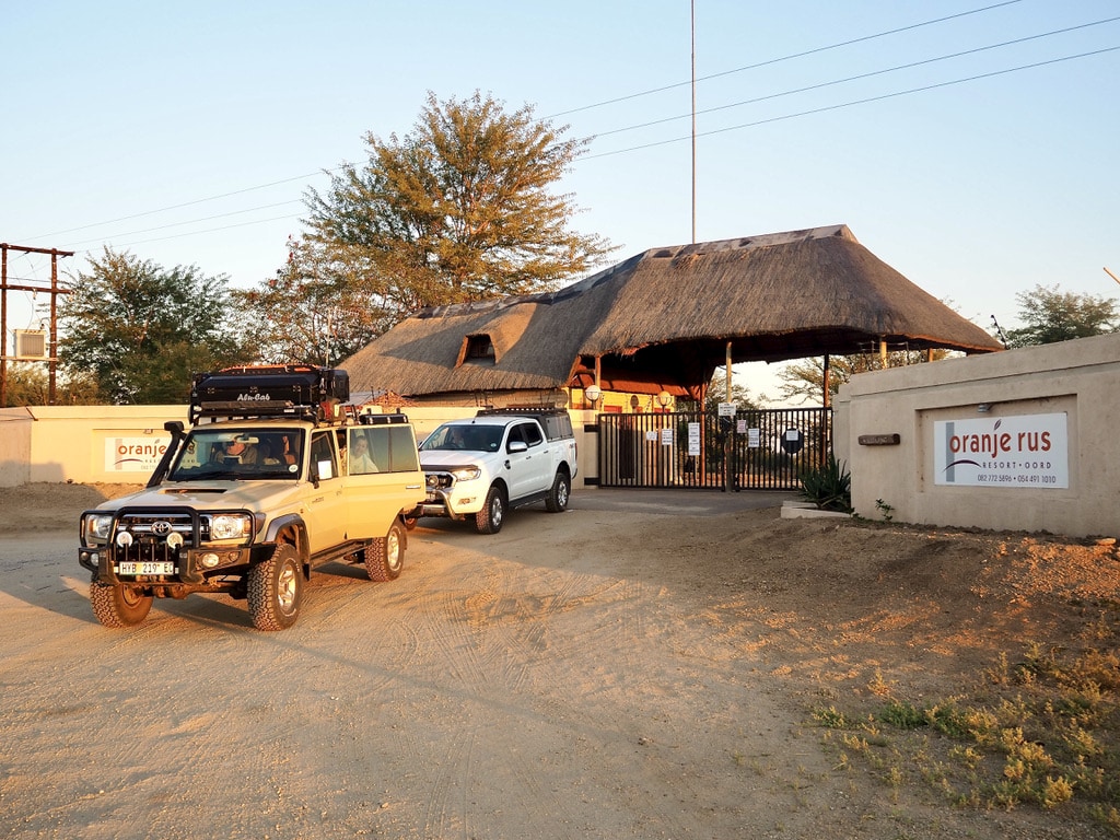
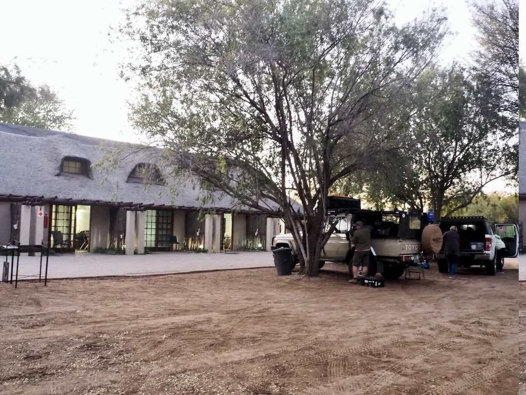
We chose the accommodation just outside Upington at Oranje Rus Resort.
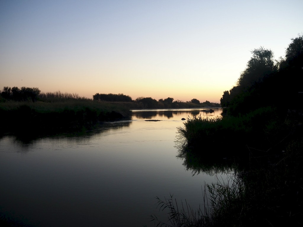
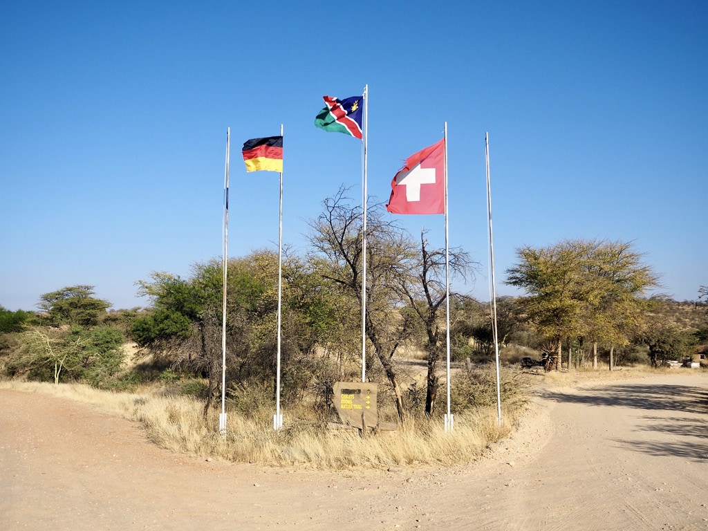
Resort EntranceOrange Rus ResortOrange River
Upington – Twee Rivieren, Kgalagadi Transfrontier Park: 279km, 3hours
On the next day, we woke up early to reach our destination: the entrance to the Kgalagadi Transfrontier Park.
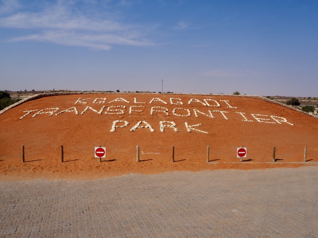
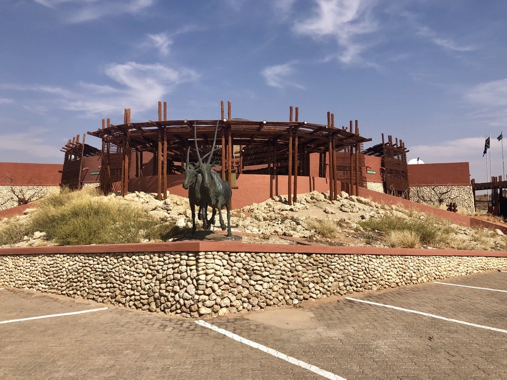
Entrance signEntrance building
Kgalagadi Transfrontier Park, South Africa 🇿🇦
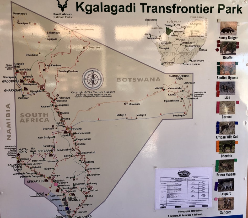
Park map
Stretching across the territories of both Botswana and South Africa, the park covers an extensive 37,000 square kilometers. In 1999, a treaty was signed between South Africa and Botswana to establish this conservation area. Officially opened in May 2002, the park is managed as one entity, although tourist facilities continue to operate independently.
The park is a malaria free area.
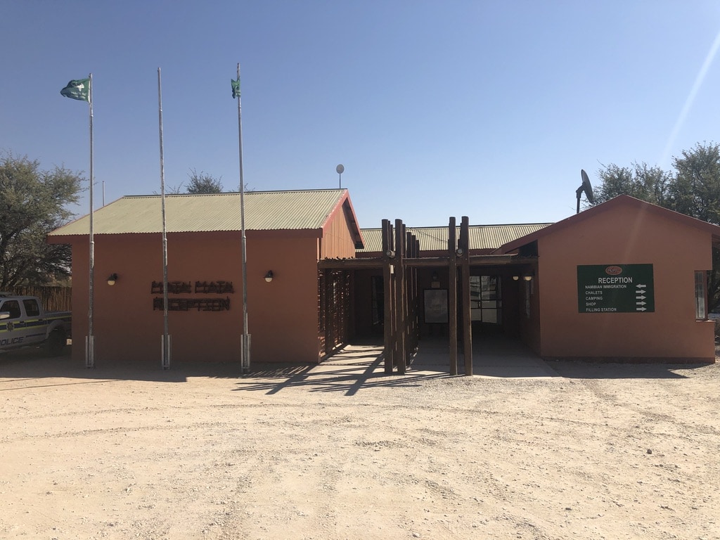
Travelers benefit from immigration and customs arrangements that allow them to enter the park in one country and depart from the other. The primary entry and departure point between the two nations is the Two Rivers/Twee Rivieren Gate, equipped with camping facilities, chalets, shops, and a restaurant.
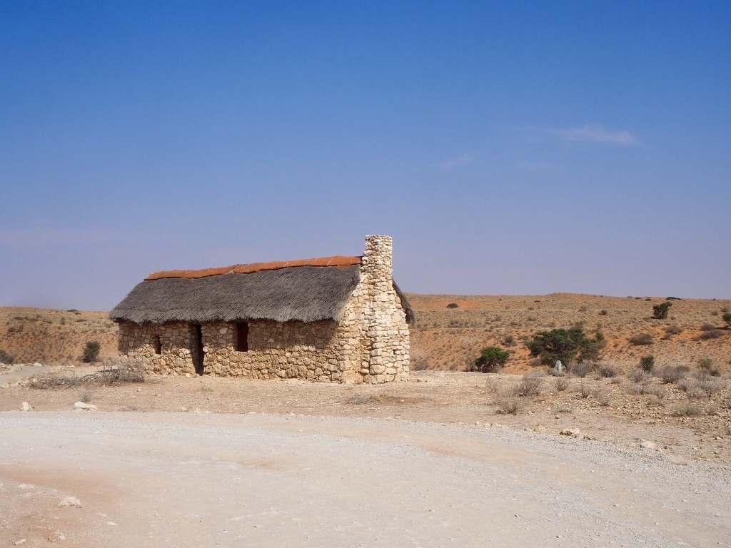
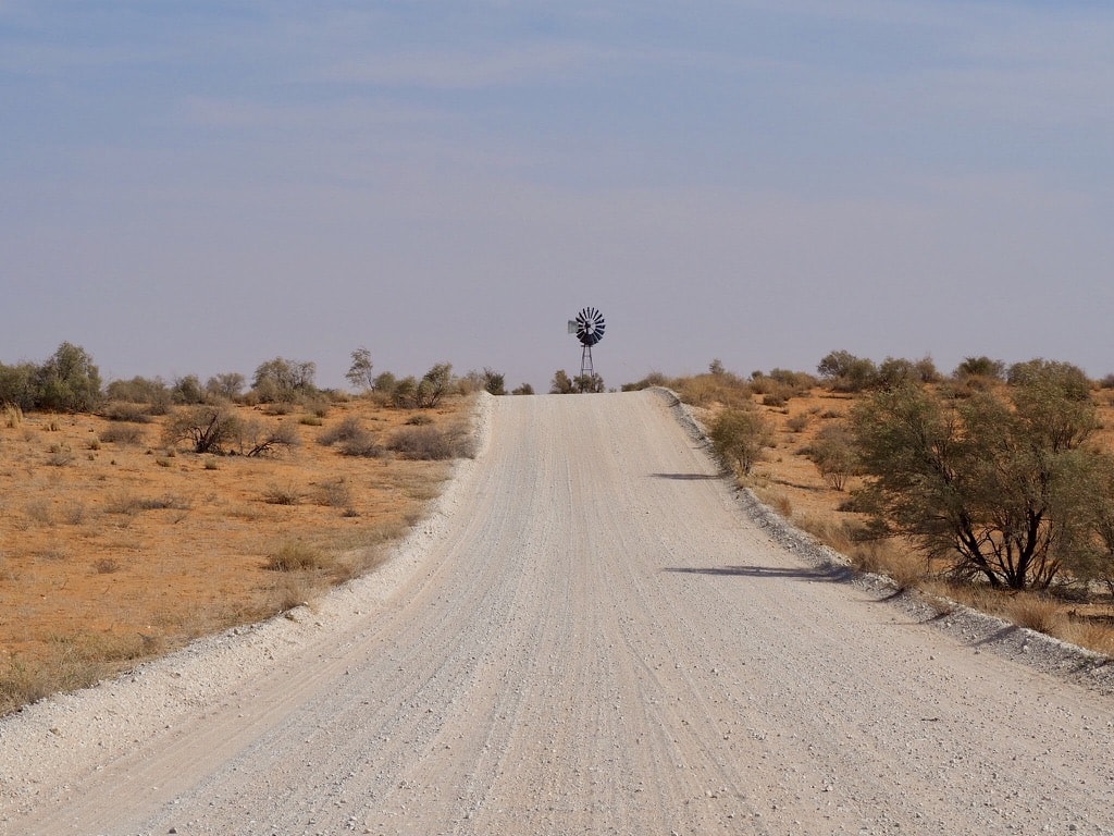
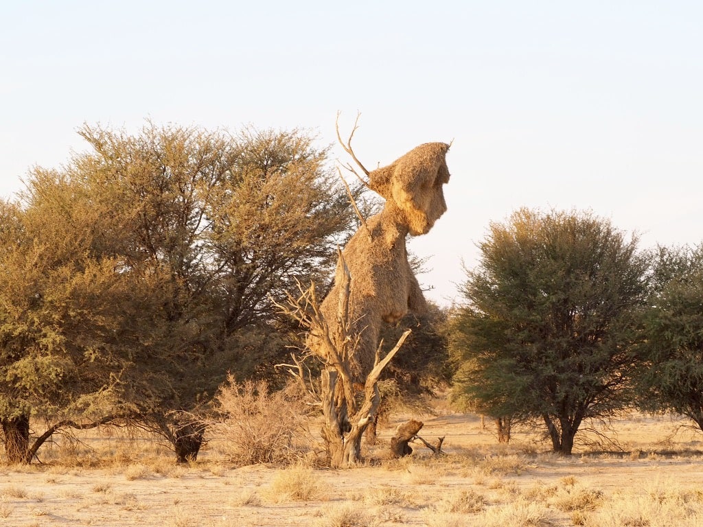
House in the desertRoad inside the parkInside the park
The accommodation within the park is managed by SANParks. Various camps are available for exploration, and details can be found on the SANParks website. We stayed in two camps: Twee Rivieren and Mata Mata.
Twee Rivieren
Twee Rivieren Camp is the largest rest camp in the Kgalagadi Transfrontier Park. It provides many facilities, including camping grounds, chalets, a swimming pool, shops, a petrol station, and a restaurant. The camp is on the border post between South Africa and Botswana.
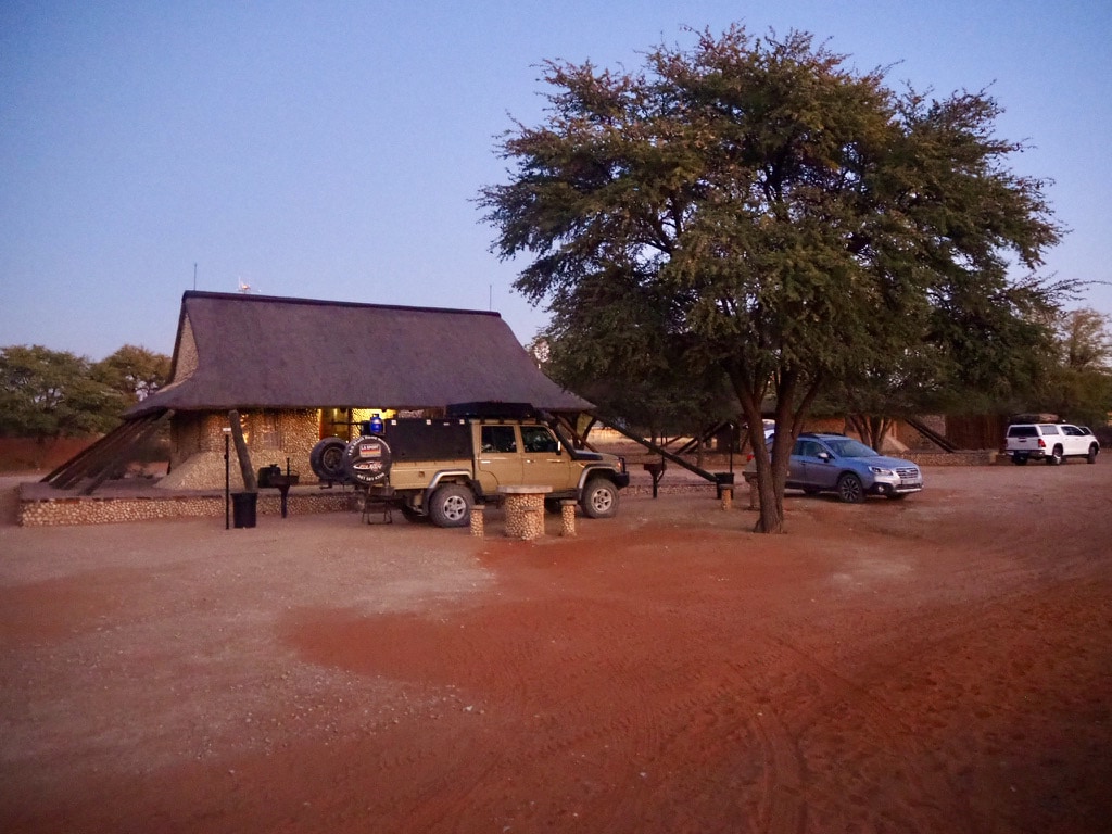
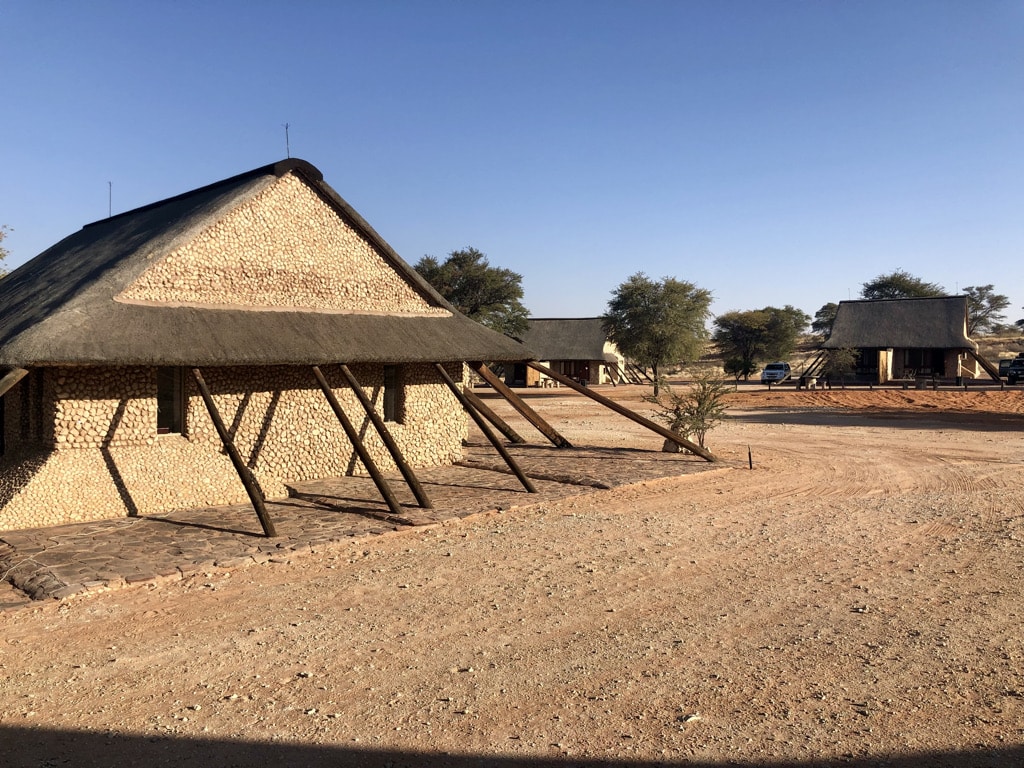
Twee Rivieren Rest CampChalet
Mata Mata
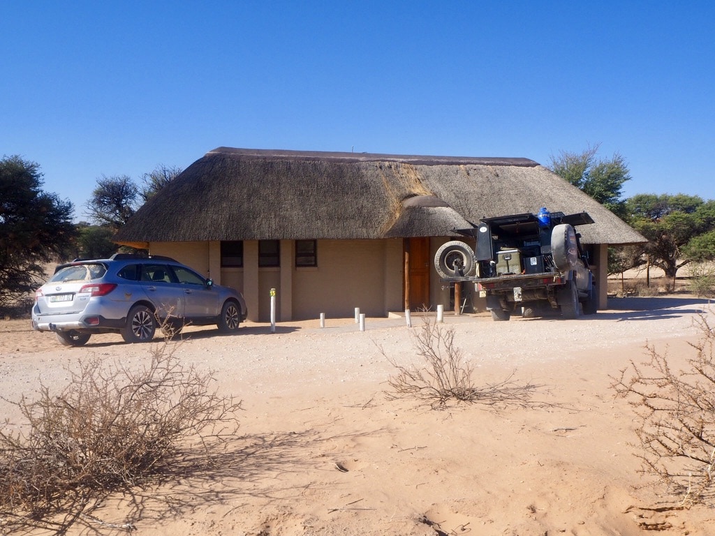
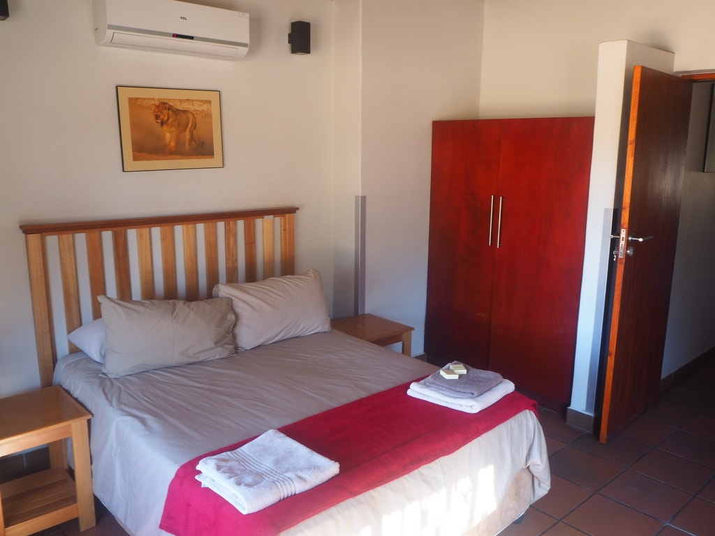
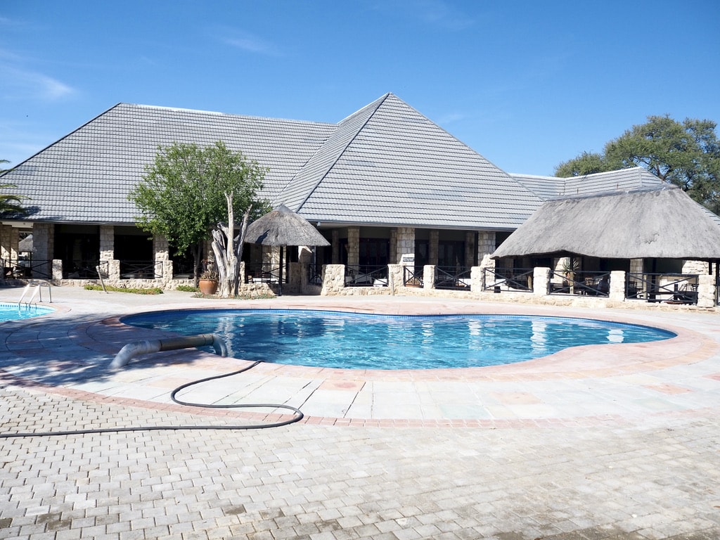
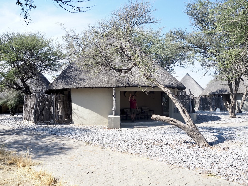
Mata Mata is located along the Auob River and near the border between Namibia and South Africa. The camp provides a range of facilities, including camping sites, self-catering chalets, a swimming pool, shop or fuel station.
Mata Mata entranceCottage in Mata MataInside the cottage
Game drives
Most of the park has gravel roads, so it’s better to drive a 4×4. To see more animals, it’s best to go on drives early in the morning and late in the afternoon when the animals are most active. Every drive is different, and you never know what you might come across.
Here are some cool animals we saw:
Honeybadger
They are known for their fearless and aggressive behavior, earning them a reputation as one of the most fearless animals in the animal kingdom. They are skilled hunters and scavengers, preying on a variety of small mammals, reptiles, birds, insects, fruits, and honey.
Honey Badger
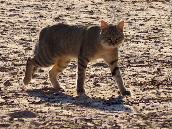
African Wild Cat
It is in appearance similar to domestic catsThey are skilled hunters, preying on small mammals, birds, and insects. They are solitary and mostly nocturnal, avoiding larger predators.
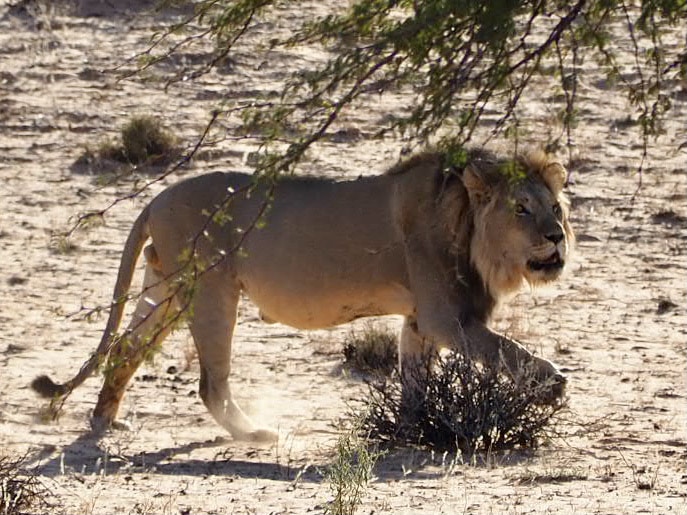
Lion
The park is known for its black-maned Kalahari lions, which are well adapted to the arid conditions of the desert. These majestic predators roam the park and are often seen resting under acacia trees or hunting for prey.
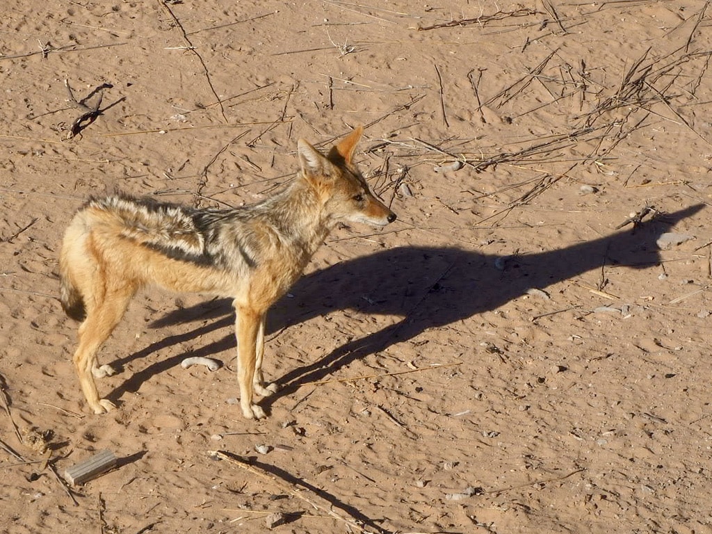
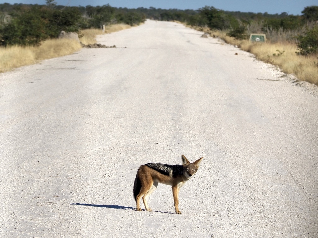
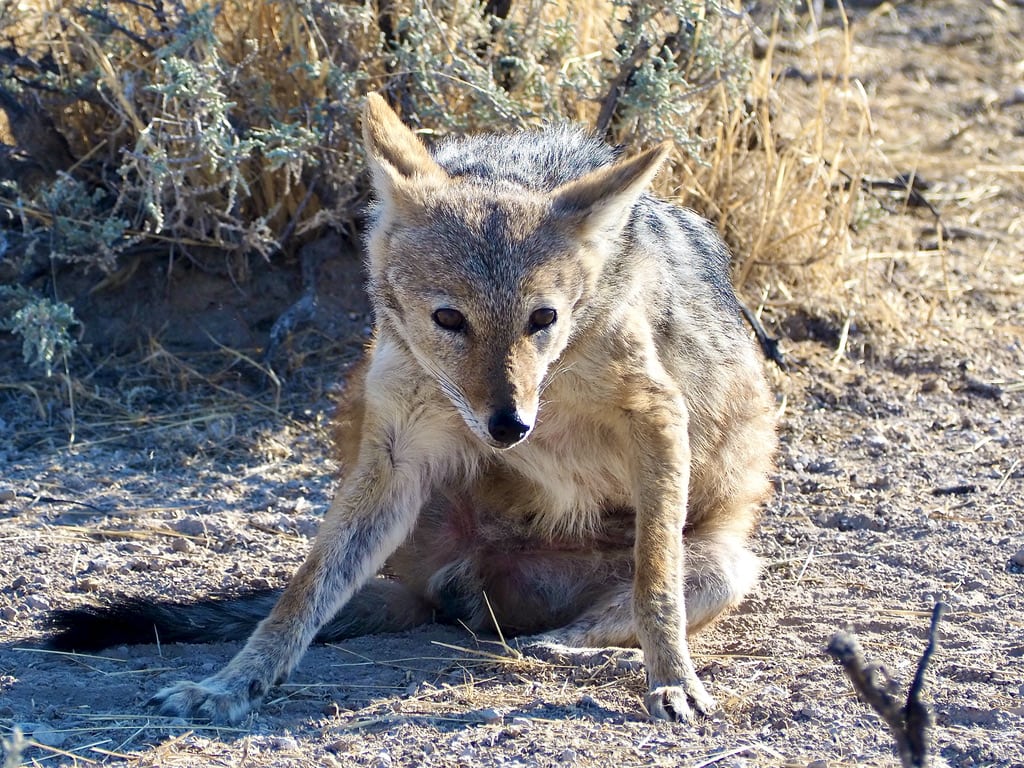
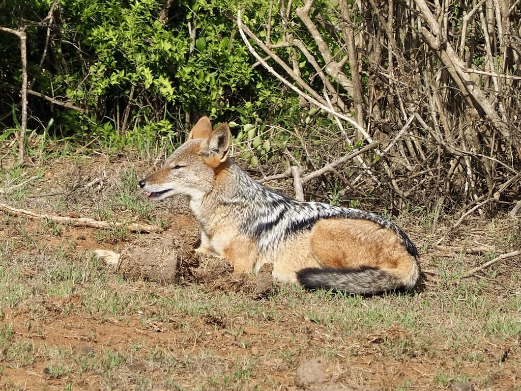
Jackal
Jackals are opportunistic omnivores, feeding on small mammals, birds, insects, fruits, and carrion. They are known for their distinctive vocalizations, including howls and yips.
African Wild Cat
Lion
Jackel
Border Crossing: from South Africa to Namibia
After few days spent in KTP in South Africa we continued our safari trip to Namibia.
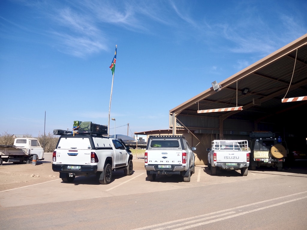
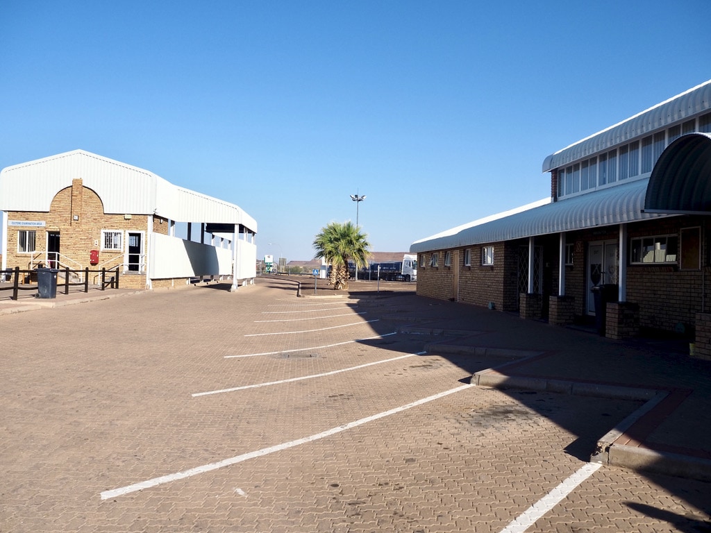
Crossing the border between South Africa and Namibia served as a reminder of the convenience of our EU Schengen Zone. Initially, on the South African side, we parked the car and underwent various procedures. The individual “stations,” marked with numbers, required us to go through each one: a check of car documents, passport inspection, and customs verification. Once completed, we drove a few meters to the Namibian side and repeated the process. The entire procedure took a good hour, even during the low-travel period of Covid, when there were minimal people at the border.
Boarder between SA and Namibia
Lake Oanob Resort – Namibia 🇳🇦
Mata Mata – Lake Oanob Namibia: 482km, 5,5hours
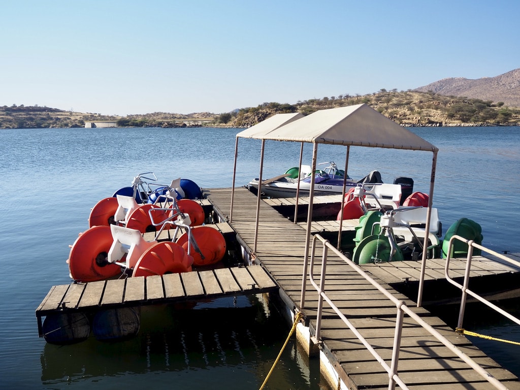
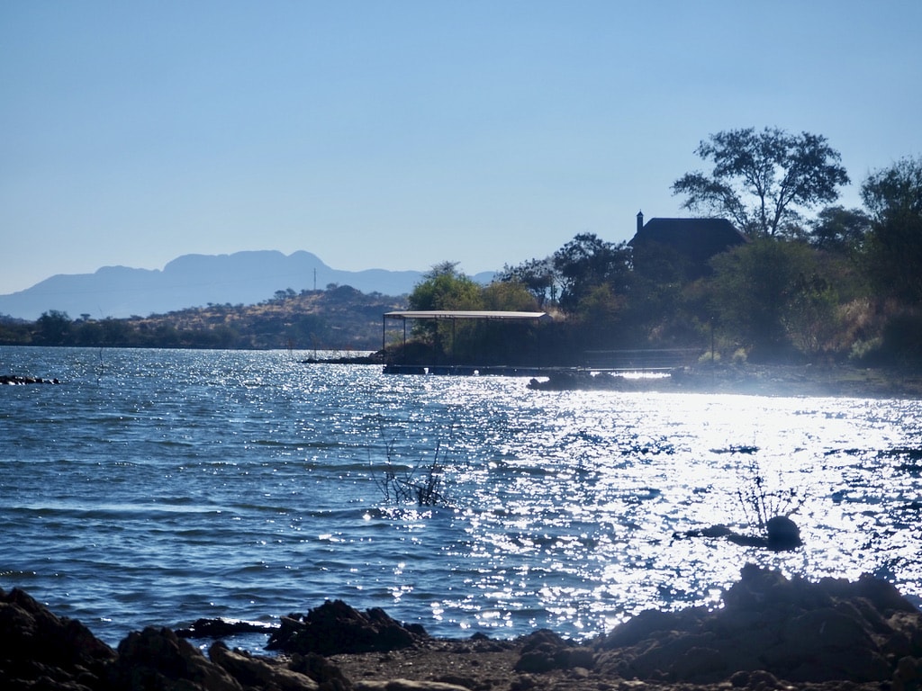
Our next stop during our safari road trip was Lake Oanob Resort, surrounded by mountains and hills. The resort offers spacious chalets overlooking the dam, along with activities such as hiking, boat rides, canoeing, or aqua-cycling. Taking a break from the drive, we explored the area around the lake and enjoyed some water activities.
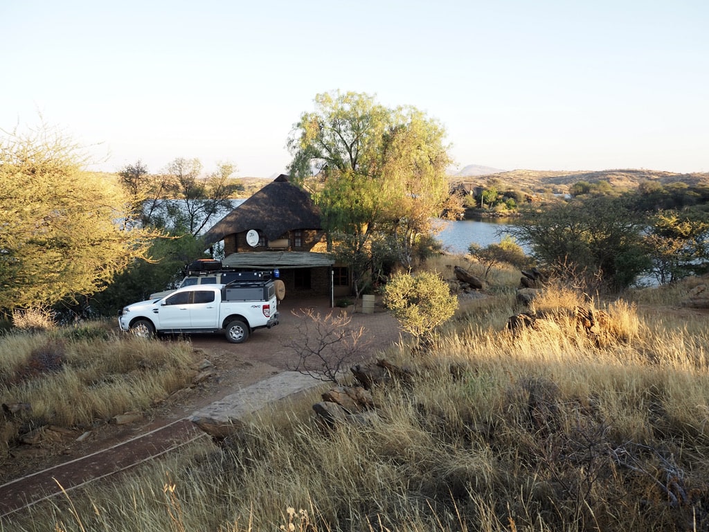
Lake Oanob ResortChalet at Lake Oanob Resort, NamibiaWater activitiesView of the Lake
Etosha National park, Namibia 🇳🇦
Lake Oanob Resort – Etosha: 515km, 5,5hours
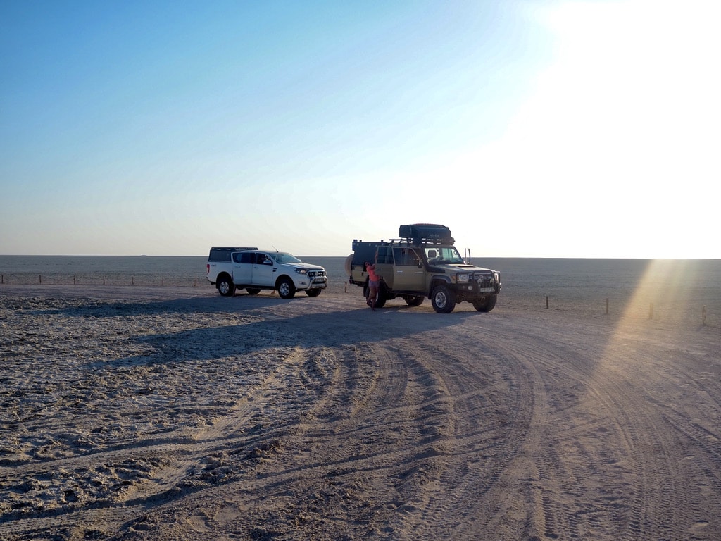
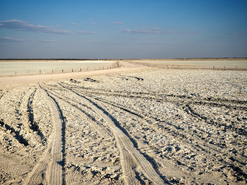
Etosha National Park is known for its expansive salt pan visible even from space. Despite this wildlife gathers around the waterholes, ensuring almost certain game sightings.
Etosha panEtosha pan
The optimal way to experience the park is by staying in the on-site accommodations. These camps, managed by Namibia Wildlife Resorts, demand careful planning and booking well in advance, often a year or more. During the quieter period of the Covid times, we were fortunate to be among the few guests, providing a high level of flexibility.
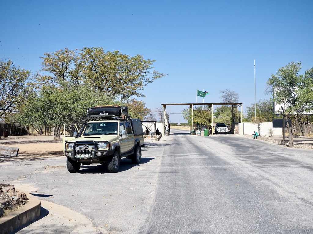
Road towards Etosha Etosha Entrance Gate
Okaukuejo rest camp
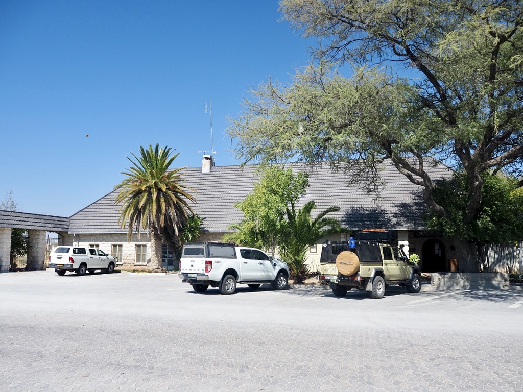
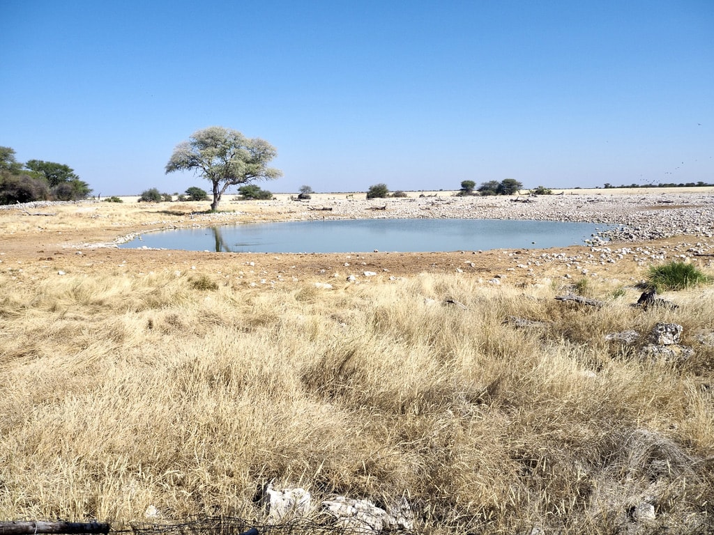
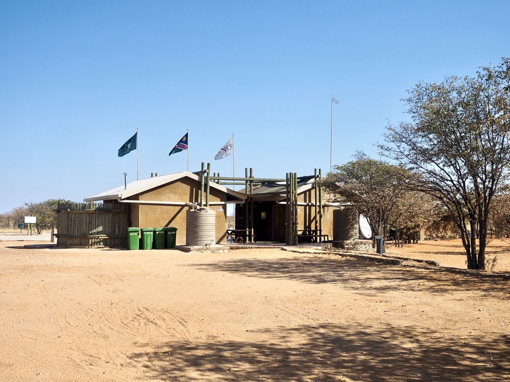
Upon arriving at the entry gate to Etosha Park, our vehicle and accommodation booking were checked. Once inside, we proceeded to our initial camp, Okaukuejo. This camp is the largest and is well-known for its amazing waterhole where animals gather during both day and night.
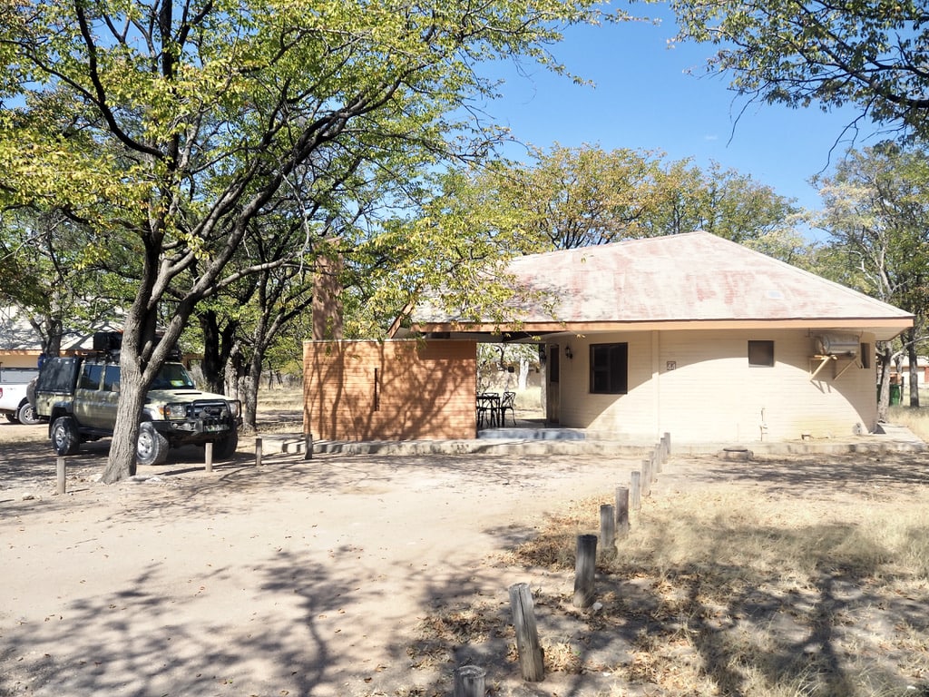
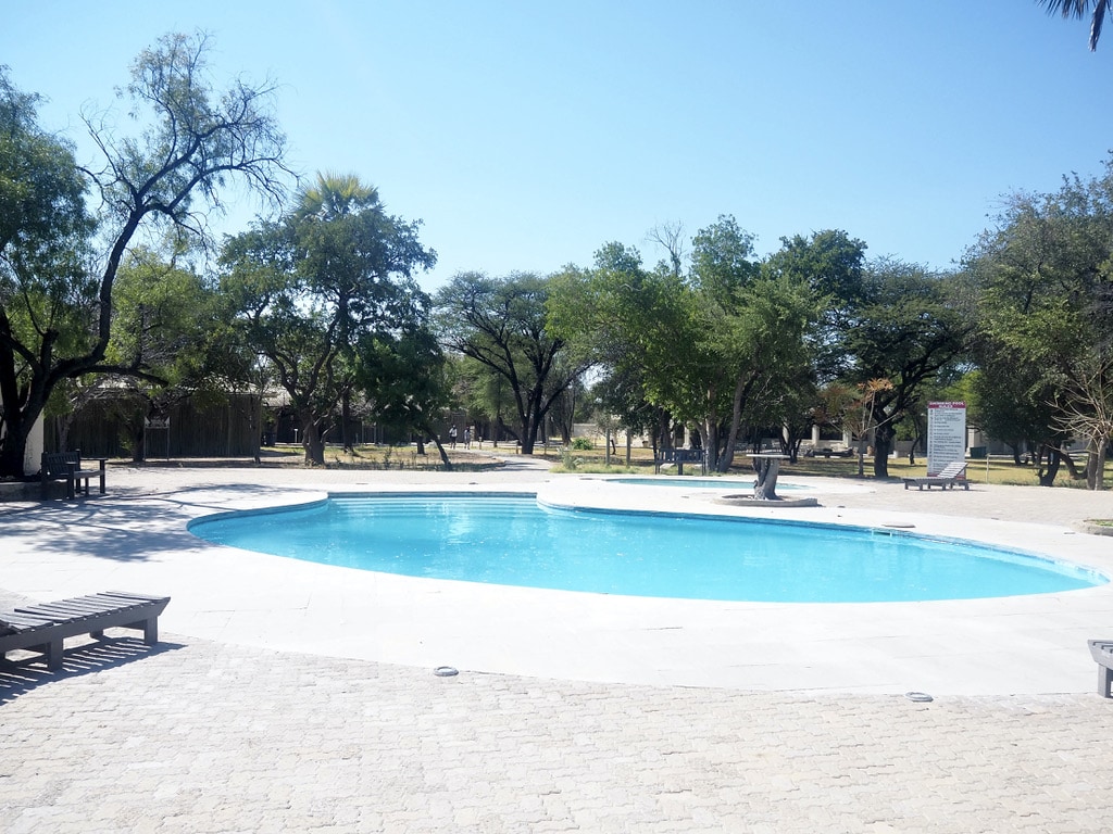
Okaukuejo reception areaCottageOkaukuejo view towerOkaukuejo water holeSwimming pool in OkaukuejoChalet in Okaukuejo camp
The self-driving experience in a nearly empty park was an adventure in itself. The wildlife in Etosha is truly amazing. Here are some highlights of the animals we saw around Okaukuejo.
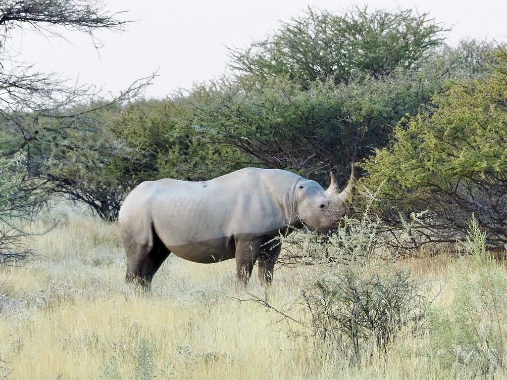
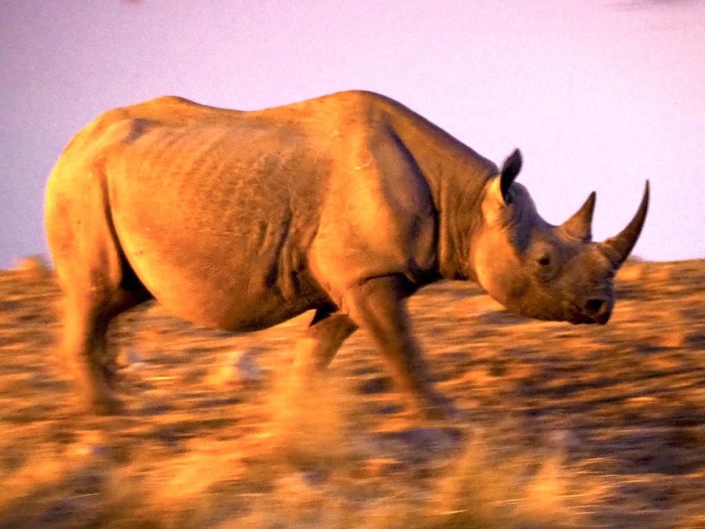
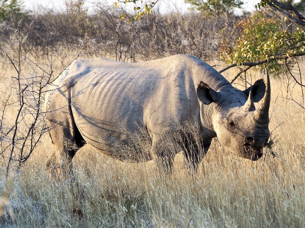
Black Rhino
Namibia currently hosts the world’s largest population of black rhinos, predominantly present in Etosha National Park. Sightings around the park and waterholes are frequent during the dry season, typically from May to October. Despite the great conservation job done in Namibia, many conservationists worry that the rhino poaching common in South Africa may eventually extend across the border. I really hope that this proves to be wrong and that we will be able to continue admiring those beautiful animals.
RhinoRhino – night shotRhino
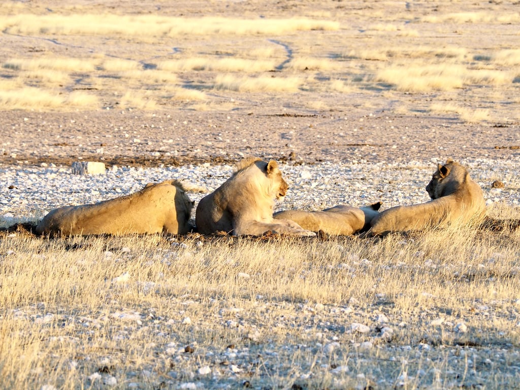
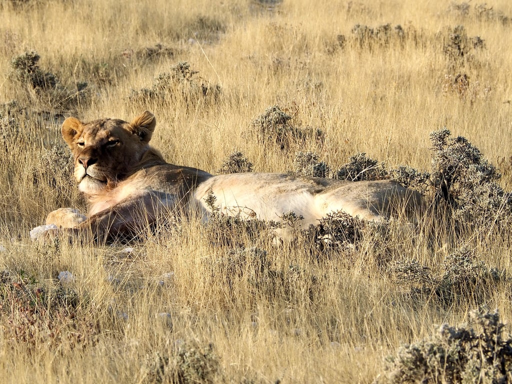
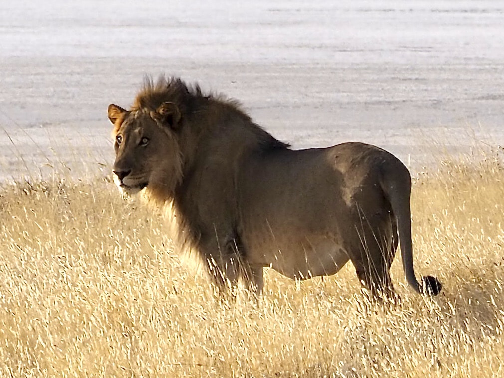
Lion
Lions are common in the park and we spotted them on several occasions.
LionsFemale LionMale Lion
Jackel
Jackals are slender and swift creatures that typically live in pairs. These pairs engage in various activities together, such as eating and sleeping. They exhibit strong territorial instincts and collaborate to defend their territory. Additionally, jackals hunt together as a coordinated team.
Jackal on the roadJackal
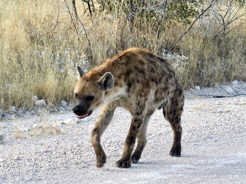
Hyena
Etosha has got the largest population of Hyena in Namibia. Hyenas are carnivorous mammals known for their powerful build, scavenging habits, and distinctive laughs.
Hyena
Day trip to Olifantsrus Camp
While exploring the park, we made a day trip to Olifantsrus Camp. As Etosha’s newest camp, Olifantsrus is the first accommodation option in the park exclusively designed for camping, providing an opportunity to feel a little closer to the incredible African bush.
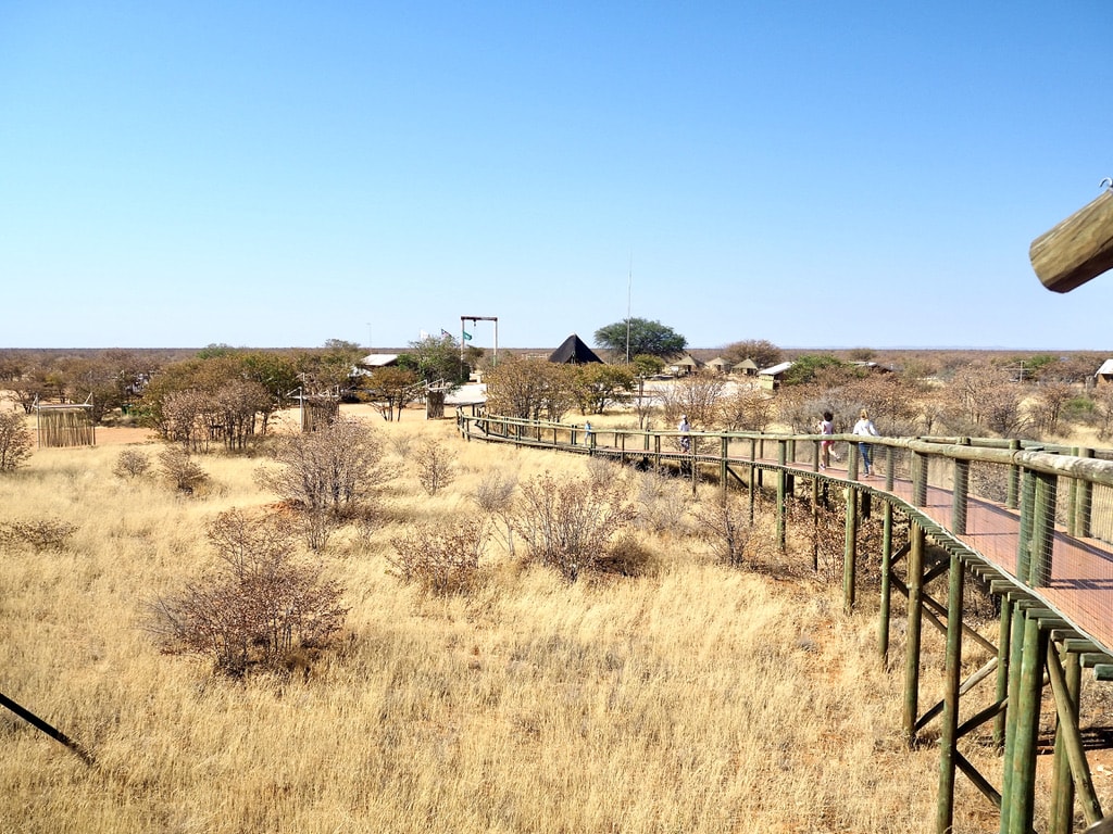
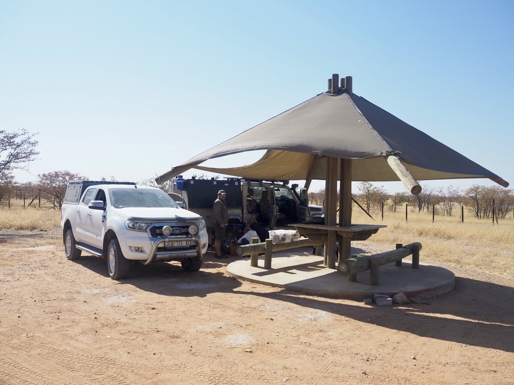
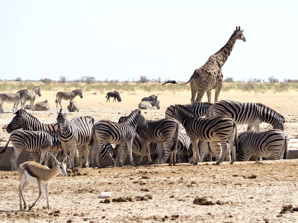
Olifantsrus CampNature walk way in Olifantsrus CampPicknik spot in Olifantsrus CampAnimals around waterhole
Halali Rest Camp
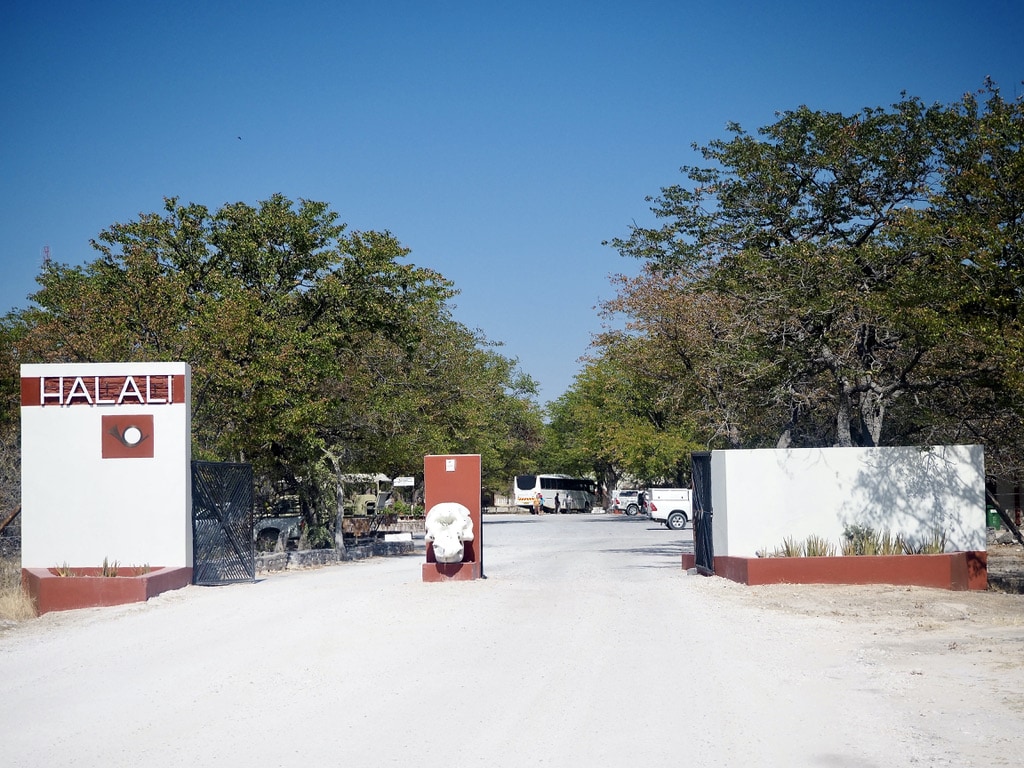
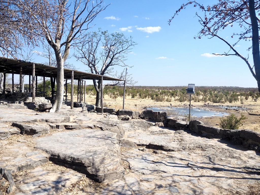
The next camp we stayed in was Halali, located approximately between Okaukuejo and Namutoni, our final destination. Halali provides self-catering cottages and a campsite. Although the camp has a swimming pool, it was unfortunately not operational during our stay. A short walk from the campsite leads to the floodlit waterhole, offering game viewing opportunities during both the day and night.
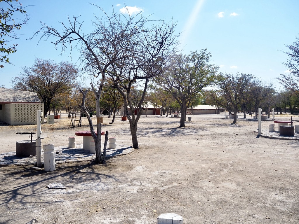
Entrance to Halali Rest CampHalali self-catering cottageHalali campsiteHalali Waterhole
We continued exploring the wildlife.
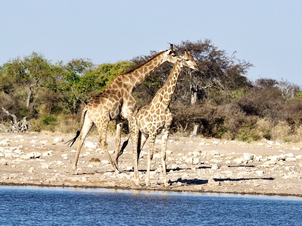
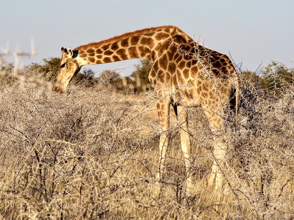
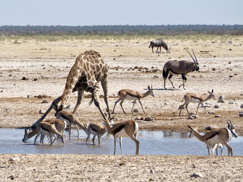
Giraffe
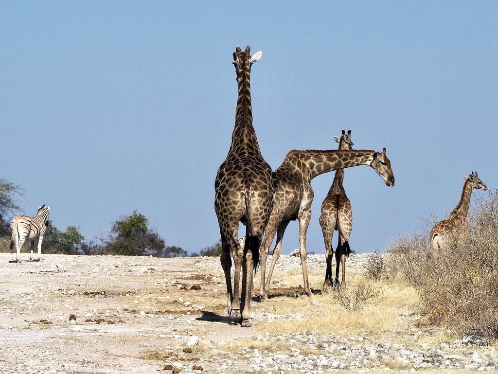
Giraffes are beautiful animals. They spend most of the day munching on Acacia trees. When drinking from the waterholes, they are always super cautious as the drinking position makes them very vulnerable.
Giraffes walking on the roadGiraffesGiraffe eatingAnimals around the waterhole
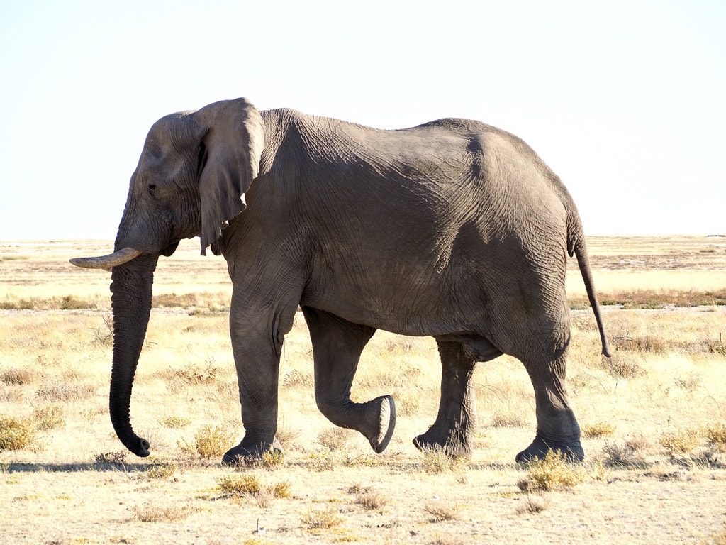
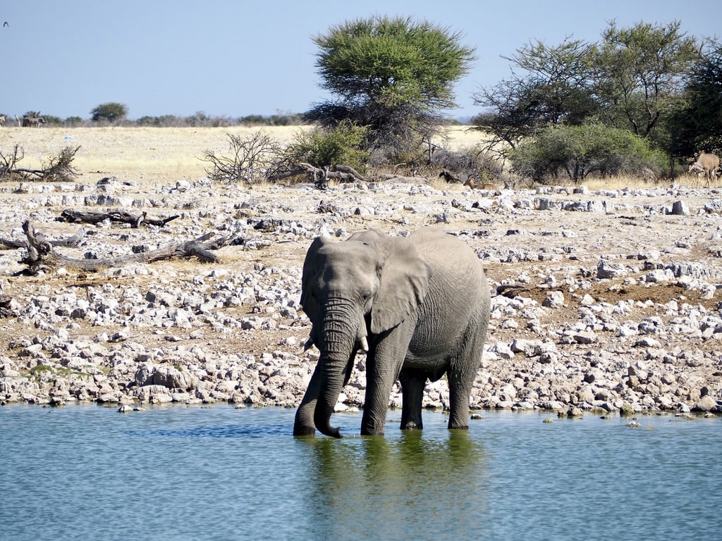
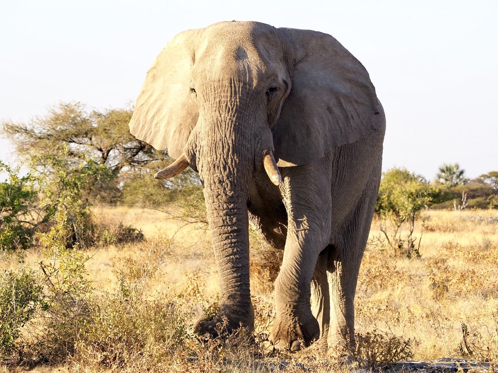
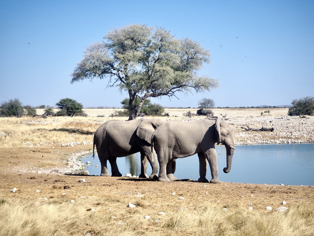
Elephants
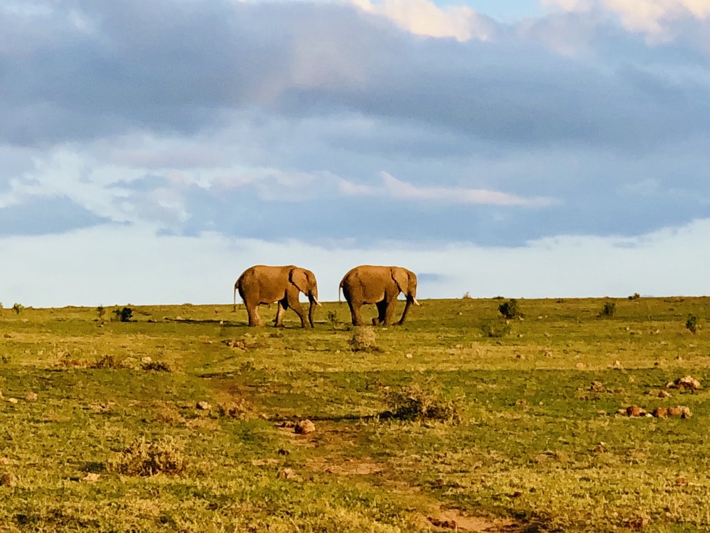
Elephants are iconic. The largest land animals on Earth, are known for their intelligence, social behavior, and distinctive features, including their long trunks and tusks. They spend the day walking around and eating.
Walking ElephantElephant drinking from the waterholeElephantElephants at the water hole
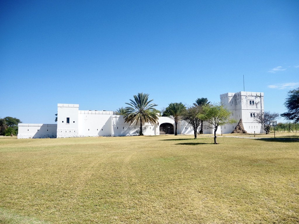
Namutoni Rest Camp
The last camp we stayed in was Namutoni. A premium setup with comfortable rooms, a restaurant, and a swimming pool. Originally established as a control post during the mad cow disease epidemic of 1897 in Namibia, Fort Namutoni was built by the Germans. It functioned as a police post and later as a South African army base. and later as a South African army base, the fort was declared a national monument in 1950 and opened to tourism in 1957.
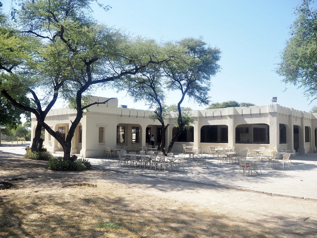
Namutoni fortressSwimming pool in NamutoniRestaurant in Namutoni
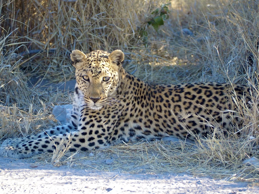
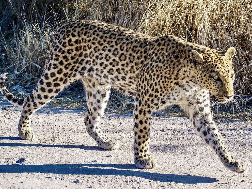
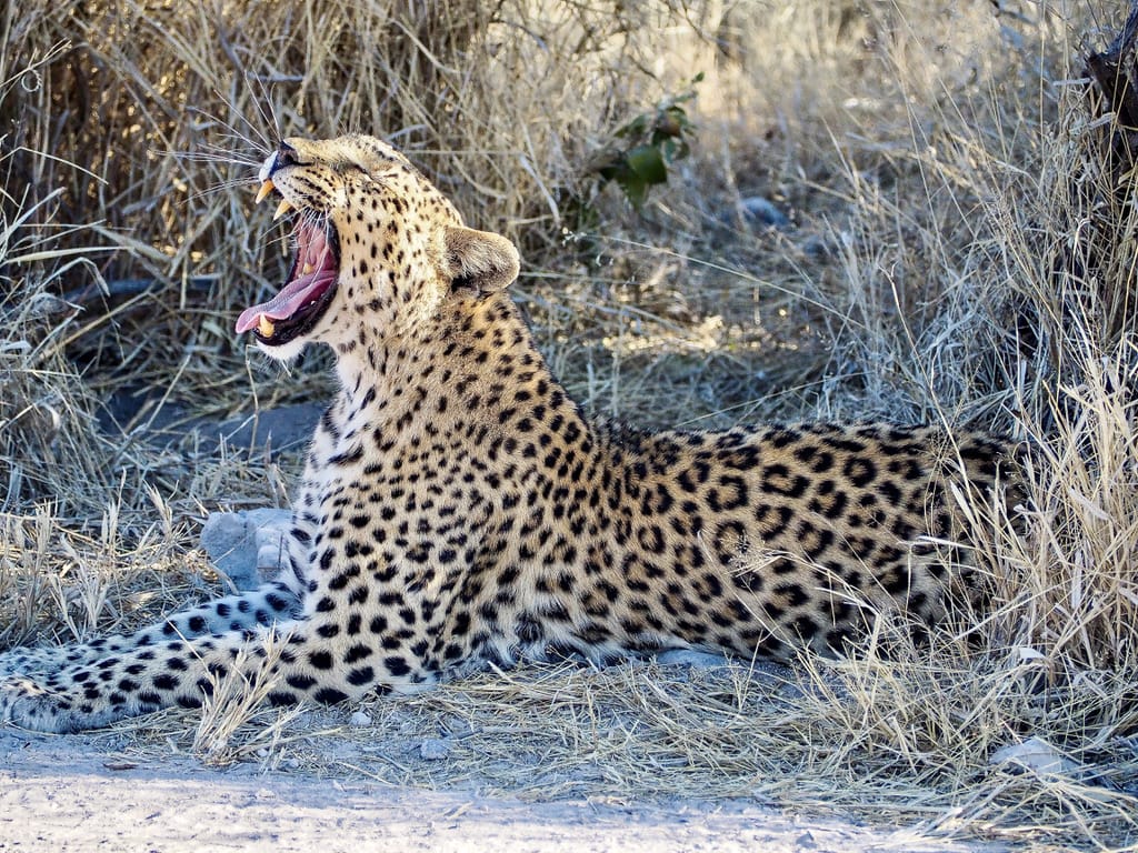
Like all other locations in Etosha, Namutoni’s surroundings offer fantastic game viewing. The highlight of our stay was spotting a leopard near the camp. Leopards are notoriously difficult to spot, and we were hoping to see one throughout our entire stay in Etosha.
Resting LeopardWalking awayYawning Leopard
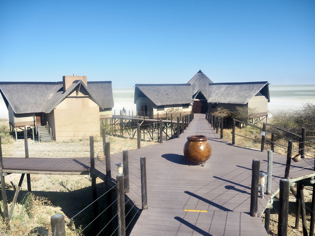
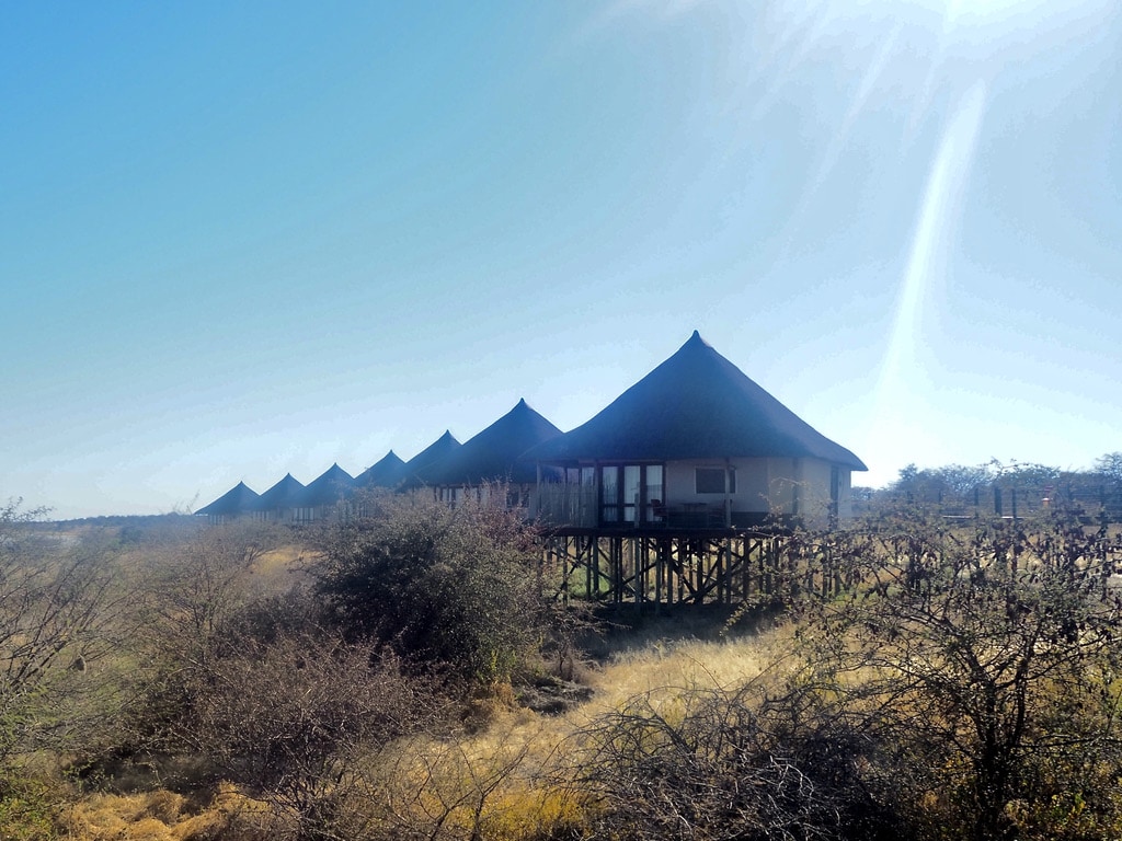
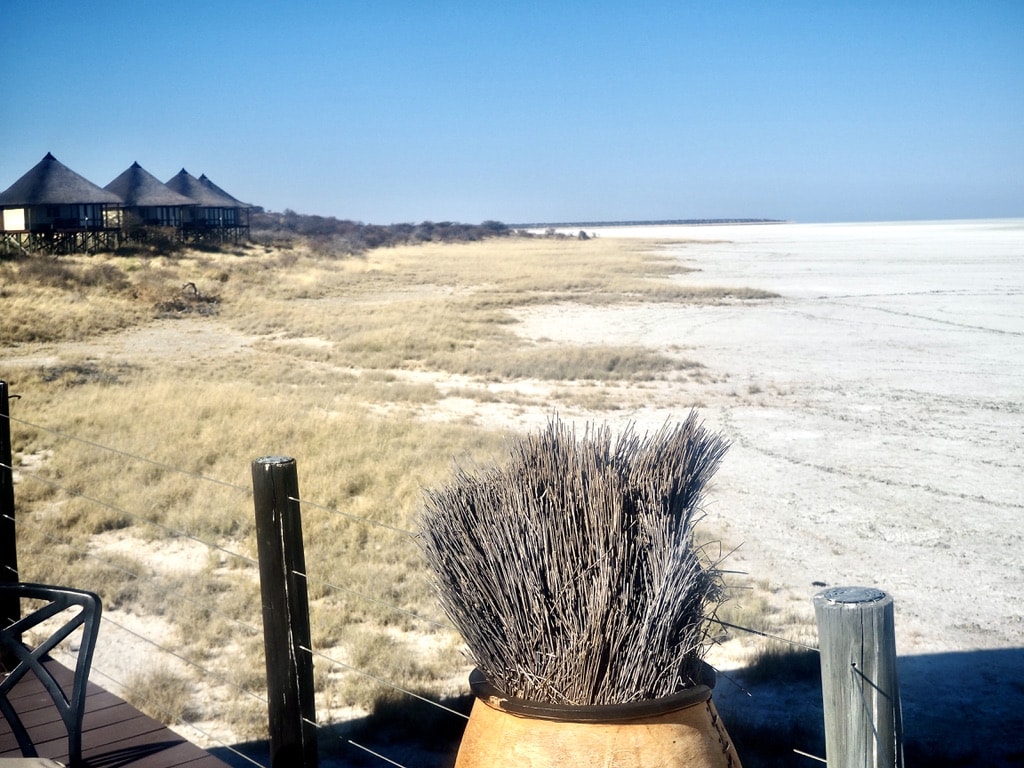
During one of our day trips, we ventured to Onkoshi Camp. Along the way, spotting animals, we reached this exclusive camp perched on wooden structures, away from the public self-drive routes. Onkoshi Camp is situated right on the border of the park’s characteristic salt pan, offering a premium experience away from the public self-drive routes. Operating mainly on solar power, Onkoshi is a low-impact camp.
Entrance to the Onkoshi View of chaletsOnkoshi camp view
Driving back from our safari road trip in Africa
The drive back was lengthy and unexpectedly led to a stop in a place I had never imagined staying. On the first day, we drove from Namutoni to Windhoek, covering 540km with an estimated travel time of 5.5 hours. However, the journey took much longer as we needed to get our COVID tests done on the way, hoping for negative results on time to cross the border back into South Africa.
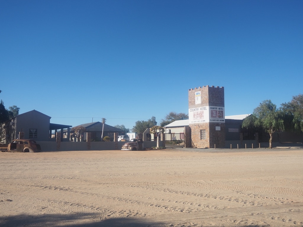
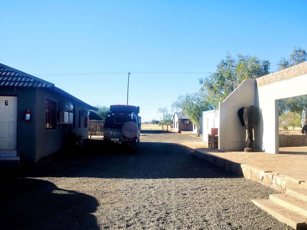
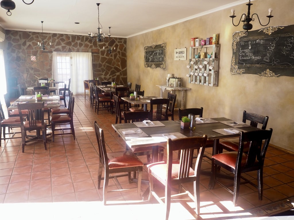
The original plan for the second day was to drive from Windhoek to Upington in South Africa, covering about 1000km. As we approached the border, we still hadn’t received the Covid test results, so we had to make a plan and find a place to stay. We stopped at a sign for Grunau Country Hotel, which seemed to be in the middle of nowhere, and I had some doubts. To our surprise, it turned out to be a wonderful spot! We enjoyed a lovely dinner and awesome wine—just perfect.
Grunau Country HotelCourtyard, Grunau Country HotelRestaurant in Grunau Country Hotel
Eventually, we received our Covid test results in the evening and set off for our 1250km drive back home to our house in the Royal Alfred Marina.
In 1999, I landed in South Africa for the first time, unaware that it would eventually become my second home. Over the years, I’ve spent a significant amount of time in the country, and whenever I discuss it with others, Cape Town often takes center stage. When it gets to South Africa, many tourists follow the well-known path to Kruger Park or drive down the Garden Route from Port Elizabeth (now named Gqeberha) to Cape Town. How about exploring something different? Let me introduce you to some of the most amazing places in the Eastern Cape and provide you with ideas for adventure road trip.
South Africa is a vast and multicultural country, covering approximately 1.2 million square kilometers. To put it into perspective, it’s about a third of the size of Europe excluding Russia. With a population of around 60 million, South Africa has 11 official languages, with Zulu (23%), Xhosa (16%), Afrikaans (14%), and English (10%) being the most spoken. English is the official institutional language. Notably, South Africa is the only country with three capital cities: Pretoria (administrative and executive), Cape Town (legislative), and Bloemfontein (judicial).
Table of Contents
Practical Insights:
South Africa is a welcoming country with friendly people. Landing in Johannesburg or Cape Town feels like entering a different world, where even a restroom attendant greets you warmly.
Getting there: It is easy, with major airlines operating flights to international airports in Johannesburg and Cape Town.
One important note: Always collect your luggage upon arrival in Johannesburg or Cape Town, even if you have a connecting flight. In most cases, airlines will tag your bags to the final destination within the country. This can be confusing, so do not make the mistake of leaving the International terminal without your luggage. After collecting your bags, proceed to the Domestic terminal to check them in again if you have a connecting domestic flight.
The best way to explore the Eastern Cape is to fly to Gqeberha (Port Elizabeth). Domestic flights from Johannesburg and Cape Town are frequently operated by local airlines such as FlySafair or FlyAirlink.
Mobile data: For mobile data, I recommend using the Airalo app, which allows you to download a data e-SIM card for countries worldwide. It’s easy and hassle-free. I activate the data e-SIM in my phone settings upon arrival and I have instant access to the internet.
Currency: The official currency is the South African Rand (1 USD = 18,5 Rand), and ATMs are widely available. While cards are accepted everywhere, having a few Rands in cash can be beneficial.
Driving and Petrol stations: In South Africa, they drive on the left-hand side of the road, similar to the UK. The main roads between cities are generally in good condition, although it’s advisable to watch for potholes. Once you get off the main road, expect to drive on dirt or gravel roads.
Petrol stations can be found in all cities, but it is advisable to check the distances between cities due to the country’s vast size. Gas station attendants are available and offer services such as filling up your tank, cleaning your windows, and checking oil and windshield wiper fluid. You do not need to step out of your car for these services.
Load shedding(power outages): It is a common occurrence in the country due to a lack of power generation capacity, with nationwide rotational outages at various stages persisting for many years. The Eskom Load Shedding app is downloadable from the Apple App Store or Google Play. It provides information on when electricity will be switched off during the day in the city or area you are in. The stages of load shedding can vary and change rapidly, so it is advisable to keep app notifications on while in South Africa.
Despite load shedding, the majority of hotels, restaurants, shops, etc., continue to operate by using their own power generators or, more recently, solar panels. The solar business has experienced significant growth in South Africa.
Crime: Is a reality in South Africa, and it’s essential to be aware of it. Having spent the last 25 years in the country without encountering any issues, I can offer some important advice. Generally, try to blend in and look like a local rather than a tourist. Avoid wearing visibly expensive jewelry, and handbags, or carrying expensive cameras.
Refrain from engaging with strangers who may approach you asking for money. Never leave your belongings visible in the car, and always lock your doors when driving.
When driving through the countryside, resist the urge to stop and give sweets to children who may wave at you near the roads. It’s crucial not to wander outside after dark; a romantic walk on the beach in the moonlight is not advisable. Taking these precautions will contribute to a safer and more enjoyable experience in South Africa.
Map of places to explore
Places I have selected to explore are pointed on the map. Many of them are accessible only via a dirt road or require off-road travel with a 4×4 vehicle (e.g.Toyota Landcruiser). I am making a note with each place.
Tsitsikamma National Park
Gqeberha (Port Elizabeth) – Tsitsikamma National Park: 116km, 1hour 15min on N2 highway. Accesible without 4×4 vehicle
Situated on the border between Eastern and Western Cape, it is a haven for outdoor enthusiasts. It offers a range of activities, including hiking, kayaking, snorkeling, and bird watching, amidst indigenous forests teeming with ancient Yellowwood trees and diverse birdlife.
For the best experience, staying at the accommodation inside the park, managed by SAN Parks, is ideal. However, due to its popularity, booking well in advance, sometimes a year ahead, is necessary. Alternatively, accommodations in close proximity to the park allow for daily access to its activities.
View of the oceanTsitsikama National ParkView of the suspension bridge
Among the highlights at Tsitsikamma:
Walk on the Suspension Bridge: Offering breathtaking views of the coastal landscape and the Storms River, the suspension bridge spans the dramatic Storms River Mouth.
Kayaking up the Storms River: A guided kayaking tour through the captivating gorge is a must-do activity, marked as a definite highlight of my visit.
Zip Line: A fun activity suitable for everyone over 6 years old.
Suspension bridgeStorms river gorgeZipline
Adventure Trail to the Waterfall: Although approximately 6km, the trail takes 3-4 hours to complete due to its adventurous nature. Conquering big rocks, it requires a certain level of fitness and is not recommended for those with health conditions.
Trail to the waterfallTrail to the waterfallWaterfall
Bungee Jumping: While I haven’t personally experienced this activity, the Bloukrans Bridge Bungy is one of the world’s highest commercial bungee jumping sites at 216 meters above the Bloukrans River, located on the N2 Highway in the Tsitsikamma area.
Jeffreys Bay
Tsitsikamma National Park – J-Bay: 48km, 32min on N2 highway. Accesible without 4×4 vehicle
Commonly referred to as “J-Bay,” it attracts surfers from around the globe to its famous Supertubes, known for hosting international surfing competitions. It is one of my favorite places to hang around for a day or two, enjoying the beach, and watching the dolphins and whales. Of course, I admired the top surfers riding big waves, trying to do some surfing myself. And more, I love shopping in the big Surfer brand outlet stores.
When I am in J-Bay, I always park at the J-Bay village in front of the Billabong Outlet store. That is the original place where one can enjoy the surf culture at its best. There are shops, coffee shops, and surf schools. You can easily reach the beachfront and walk on the beautiful beach for miles.
Rainbow over J-BayJ-Bay village mottoSurfing J-BayShops in J-BaySunrise over J-Bay
Addo Elephant National Park
Jeffreys Bay – Addo Elephant National Park: 115km, 1hour 15min. Accesible without 4×4 vehicle
Herd of ElephantsTwo elephants Herd of elephants
I can’t even remember how many times I’ve visited Addo Elephant National Park. Whether as a day trip, staying inside the park for a few nights, or choosing accommodations just outside, each visit has been unique.
Initially established to protect the last remaining Addo elephants, the park has evolved into a diverse conservation area, home to a variety of plant and animal species. It’s particularly renowned for its large elephant herds, lions, buffalo, rhinoceros, various antelope species, and even dung beetles.
The park has two main entrances, and after registration and fee payments, we receive a map, making it easy to drive around while adhering to park rules.
BufalloSuricatTortoiseKuduJackel
Accommodation
Staying inside the park in the self-catering cottages run by SAN Parks is the ideal way to explore. While basic, the cottages provide everything needed for a comfortable stay. Due to its popularity, reservations need to be made months in advance. Alternatively, accommodations outside the park are available. We stayed in the upmarket Africanos Country Estate and it was lovely.
Africanos Country EstateAfricanos Country Estate
Game drives
Driving in Addo Park is an adventure of its own. Spotting wildlife is unpredictable, and you never know what animals will appear. While elephants, warthogs, various antelopes, zebras, and dung beetles are almost guaranteed, there’s a good chance to spot jackals or buffalo. Spotting lions can be tricky, with some visits we were lucky and others not.
It is a fantastic destination for adventure lovers, offering a ride on the highest, longest, and fastest double zip line in South Africa. You can also try the giant swing or canoeing on the Sundays River. We tried all the activivities and spend an enjoyble time doing that.
Zip lineGiant swing
The Bedrogfontein 4×4 Trail.
It is situated approximately 1 hour and 15 minutes from Addo Elephant National Park in the Baviaanskloof Nature Reserve. This 45km off-road adventure is a genuine 4×4 challenge, navigating through rugged terrain, river crossings, and steep ascents. The trail offers breathtaking views of the surrounding wilderness in a remote setting. It’s worth noting that once you get on the trail, you’re on your own, as there is minimal to no mobile phone coverage for the majority of the journey.
The Bedrogfontein 4×4 Trail4×4 adventure
Mountain Zebra National Park
Addo Elephant National Park – Mountain Zebra National park: 210km, 2hours 45min via N10. Accesible without 4×4 vehicle.
Mountain Zebra
It is a conservation area dedicated to the preservation of the Cape mountain zebra. The park offers a unique opportunity to observe these endangered zebras in their natural habitat. Beyond zebras, the park is home to a variety of wildlife, including buffalo, cheetahs, and various antelope species.
Entrance gateIn the parkInside the park
Accommodation
The accommodation inside the park is managed by SANParks, offering various types of lodging. We stayed in the family cottages and the remote Mountain Cottage.
Family CottageMountain cottage
Cheetah tracking
It is a popular activity offered by experienced guides. We did it a couple of times and always enjoyed the thrill of tracking the cheetah. The excitement built as we were getting closer to these stunning animals.
Cheetah TrackingCheetah
4×4 tracks
Mountain Zebra National Park offers three tracks within its boundaries for exploration. This off-road drive is an adventurous experience, allowing you to explore areas beyond the main roads of the park. This activity requires a 4×4 off-road vehicle to navigate the diverse and challenging terrain.
Exploring 4×4 track
Game drives:
The park’s main roads are easy to drive on and allow one to explore the park while spotting different types of animals. There are also game drives with a professional guide organized by the park.
KuduSpringbokBufalloRainbow over the park
Hogsback
Mountain Zebra National Park – Hogsback: 210km, 3hours. Accesible without 4×4 vehicle.
Hogsback is an enchanting mountain village known for its forests, waterfalls, and beautiful landscapes. Hogsback is often referred to as a place of magical beauty. The village offers hiking trails leading to places such as the Madonna and Child waterfall. One can explore the indigenous forests and enjoy small the hospitality of the artistic community.
There are plenty of B&Bs to stay in. We really like staying at Hogsback Inn, established in 1880. They offer hotel rooms as well as separate cottages, and the hotel has a real charm.
HogsbackHogsback Inn houseHogsback
Madonna and Child Waterfal The hike leads through the indigenous forest. The first part involves a steep descent, leading to the waterfall hidden in the middle of the forest. The walk continues through the forest, allowing admiration of some very old Yellowwood trees. It concludes in the bottom part of Hogsback Village.
Madonna and Child WaterfallYellowood tree
The Kettlespout Hiking Trail The trail is of a moderate level of difficulty with no extra steep ascends or descents. The journey begins at the Hogsback Arboretum and continues way through the indigenous forests filled with ancient Yellowwood trees. At the end of the trail is the Kettlespout Waterfall.
Towards Kettlespout WaterfallKettlespout waterfallRoad in Hogsback
Rhodes, Drakensberg Mountains
Hogsback – Rhodes: 320km, 5 hours. 4×4 off road car is needed.
Rhodes is a small village located in the Drakensberg Mountains, a good 2 hours away from the nearest town and accessible through a dirt road. Named after the British imperialist Cecil John Rhodes, it offers a true escape from urban life. The village houses are built in well-preserved Victorian architecture. In the evening, there are no lights in the village and no shops, so it is crucial to bring everything needed. There is only a small pub where locals gather in the evening.
During our time in Rhodes, we enjoyed two awesome excursions – a drive to Tenahead and skiing in Tiffandel.
Drakensberg MountainsHouse in RhodesRhodes Village
It is a luxury retreat situated 30km from Rhodes. The journey to Tenahead is an adventure in itself, with a narrow dirt road winding through the mountain ranges, taking at least an hour to reach the destination. The scenery along the way is breathtaking, and upon arrival, the lodge offers fantastic hospitality. We had a great lunch at the lodge’s restaurant while taking in the stunning views.
Yes, indeed, there is (or was) a skiing resort in South Africa! Located about 25km from Rhodes, getting there is an adventure in itself. The journey involves a dirt road through the mountain ranges, passing by Naude’s Neck Pass, the third-highest pass in South Africa. As you approach, a small strip of white snow becomes visible, drawing closer with each turn. For us, excellent skiers was the slope “fun” but the overall experience of skiing in Africa was truly unforgettable.
Very sadly, the skiing resort didn’t open this year, and according to the website, it is currently for sale.
Naude’s Nek PassNaude’s Peak view Tiffindel Road SignView of Tiffindel SlopeSlope in TiffindellSlope in Tiffindell
Kob Inn in Transkei
Rhodes – Kob Inn: 277km, 5,5hours. 4×4 off road car is needed
About Transkei
It is a distinctive region in the Eastern Cape of South Africa, bears historical importance as a Bantustan—a partially self-governing area established during the apartheid era. Founded in 1963, it was designated as a separate homeland for the Xhosa-speaking Thembu people. Despite gaining nominal independence in 1976, this status was not internationally recognized. In 1994, following the end of apartheid, Transkei was reintegrated into South Africa. Nonetheless, life in Transkei still echoes its original lifestyle.
There are several hotel lodges scattered along the Transkei coastline. One of them is Kob Inn. Situated about 1.5 hours away from the closest city Willowvale, the journey to reach Kob Inn involves navigating a less-than-ideal dirt road. However, the destination itself is a paradise. With long, wide sandy beaches and a beautiful coastline, Kob Inn invites outdoor activities such as fishing, hiking, or canoeing.
Kob Inn restaurant Sunrise at Kob InnKob Inn hotel
During our stay at Kob Inn, we did a hike to another Transkei lodge, Mazzepa Bay. This half-day activity was nothing short of fantastic, featuring walks on empty beaches with cows basking in the sun, ascending cliffs for panoramic views, observing a seal resting on a large stone, and witnessing dolphins and whales in the ocean.
Cows on the beachSeal on the rockCostlineBeachCostline at Kob Inn
Morgan Bay
Kob Inn – Morgan Bay: 103km, 3hours. 4×4 off road car is needed
Morgan Bay is another stunning location bordering Transkei on the South African wildcost. There is a small village and the absolutely fantastic Morgan Bay Hotel. While the hotel may be pricier compared to other places, the quality of service is exceptional, making a stay there a true treat. We spent two days in the winter months, so our activities revolved around hiking.
Morgan Bay hotelView of Morgan BayMorgan Bay hotel
Walk on the Cliffs:
The views of the ocean from the cliffs above Morgan Bay are breathtaking. Spending hours there, walking, enjoying the scenery, and observing dolphins and whales in close proximity made it truly memorable.
Cliffs, Morgan BayOcean viewWalking on cliffs
Hike to Kei River Mouth:
This half-day activity began with a beach walk leading to higher, bushy grounds, passing by the lighthouse along the way. Although the lighthouse is closed to public, we were fortunate; on that day, maintenance was underway, and we were allowed to climb all the way up. The walk continued down to the ocean, where we climbed over many rocks to eventually reach Kei River Mouth. Completing a loop, we walked on the back road, enjoyed a snack at the local golf course restaurant, and returned to our hotel. This unspoiled route has no shops, so carrying water and snacks is essential for this hike.
Lighthouse
Walk on the beachClimbing rocksCostaline, way to Kei River Mouth
Port Alfred
Morgan Bay – Port Alfred: 220km, 2hours 40min. Accesible without 4×4 vehicle.
Situated on the Sunshine Coast it is a charming coastal town with the Kowie River winding through it and opening into the Indian Ocean. The town’s beautiful beaches make it a popular destination for beach lovers and surfers. Port Alfred also has a rich history, reflected in its historic architecture and landmarks. The Royal Alfred Marina adds a unique touch to the town, with its network of canals and waterfront properties.
Royal Port Alfred MarinaRoyal Port Alfred MarinaNico Malan Bridge
Beaches
The pristine wide long beaches invite you to take a long walk while enjoying the sound of the ocean.
East Beach is liked by local surfers as the East Pier break is one of the most powerful in South Africa. There is a parking right at the entrance to the beach.
East BeachEast Beach
Kellys, the Blue Flag beach, is a place for beginner/intermediate surfers to enjoy the less powerful waves as well as for bodyboarders or swimmers to enjoy the ocean. Parking is right above the beach.
Sunrise at Kelly’s beach Kelly’s Blue flag beach
Surf School
The local Shaka Surf Schoolis being run by David MacGregor, the multiple South African longboard champion surfer. I became a surfer myself thanks to David.
Surf lesson with Shaka Surf School Surfing in Port AlfredSurf lesson
River activities
The Kowie river flows through the town, providing a fantastic place for activities like boating, canoeing, SUP paddle boarding, waterskiing, skurfing or fishing.
I can highly recommend a local business Outdoor Focus. Carey Webster and her team will get you sorted with any outdoor activity in Port Alfred.
Kowie riverSkurfing at the Kowie riverTubing at the Kowie river
Golf
The Royal Port Alfred Golf Clubis one of four golf clubs in South Africa that have been granted the right to use the “Royal” prefix. The club features well-maintained fairways and greens, complemented by coastal views. What I find unique about the golf course is the real nature touch – any time we play golf, we see antelopes scattered around munching on the grass or a tortoise crawling slowly around.
Royal Port Alfred Golf Club
Sandboarding
The East Beach dunes are ideal for sandboarding activities, and a lot of fun for everyone.
Sandboarding
Adventure Road trip in South Africa – last stretch
The drive from Port Alfred to the airport in Gqeberha (Port Elizabeth) will take approximately 1 hour and 45 minutes.
Wishing you a wonderful adventure road trip in South Africa! 🇿🇦
February is the time when I would normally plan a skiing trip. However, this year, we decided to try something different and escape the winter in Prague. Our choice was doing a road trip to Spain, Andalusia. I booked tickets to Malaga and began preparing the itinerary. We had two options: either move from one place to another, which always involves continuous check-ins and check-outs, or stay in Malaga and do day trips. I chose to stay in Malaga and move only towards the end of our stay for one night to Seville.
Table of Contents
Practical insights:
Arrival to Spain:
It’s very straightforward for us, Europeans, as Spain is part of the Schengen zone. Non-EU citizens need to check the requirements related to their particular passports (for Spain but also for UK, if planning a trip to Gibraltar).
We travel around the EU with IDs only. Nevertheless, I was lucky to talk to a friend before our trip. I mentioned that we would drive to Gibraltar, and he said, ‘Well, don’t fall into the same trap as I did. You need to have passports because the UK is not part of the EU anymore.’ It was pretty fortunate, as I might have left our passports back at home.
Currency:
The currency is Euro, and ATMs are easily accessible. Paying with a card is common everywhere.
Driving:
Driving in Spain is easy, similar to any other EU country. The only exception that confused me a bit was the many lanes in roundabouts in big cities. For that, I always tried to stay in the outermost lane and be cautious about other cars and drivers. Petrol stations are in close proximity to each other.
Parking:
Can be difficult, especially in big cities. The underground paid garages are very narrow, so renting a small car is a wise choice.
Mobile Data:
EU citizens enjoy “roam-like-at-home,” so I didn’t have to worry about purchasing additional data packages. For everyone outside the EU, I recommend using the Airalo app, which allows you to download a data e-SIM card for countries worldwide. It’s easy and hassle-free.”
Day 1-2: Malaga
We arrived in Malaga in the evening and checked into our Malaga Sun apartment. I made sure that we would have private parking available. The garage was modern and easy to park in.
Malaga is a very pleasant coastal city, ideal for just walking around.
The Beachfront Promenade: It stretches from the city center all the way to Malaga beach. People are walking or jogging around. Muelle Uno, the open-air shopping mall, is located in Malaga Port. The place is lively during the day and in the evenings, but don’t expect to have coffee there in the morning. The only place we found open around 9 am was a Dunkin’ Donuts stand.
Roman Theater: Considered the oldest monument in Malaga, it was built in the 1st century BC under the rule of Emperor Augustus. It is situated underneath the Alcazaba fortress and was discovered in 1951, after being buried for several centuries.
Alcazaba: Positioned atop the hill, the fortress is assumed to be one of the best-preserved in Spain. Its origin dates back to the 11th century. There is quite a bit of a walk to reach the entrance, but it is worth it. After purchasing our tickets, we freely walked around, exploring the different parts and enjoying the views of the city.
Malaga PortRoman TheaterView of Malaga from Alcazaba
Walking on the Beach Promenade, we reached the City Center.
The main landmark to visit is the Malaga Cathedral. It was built between 1528 and 1782, and the interior is in Renaissance style. The cathedral’s north tower is highly visible, standing at 84m high, while the south tower remains unfinished.
Calle Larios is the main pedestrian shopping street and the true heart of Malaga.
Nevertheless, for shopping enthusiasts, there’s another tip. There is a huge shopping complex, including McArthurGlen Designer Outlet just outside Malaga, next to the airport. We drove there from our apartment and had a half day of shopping.
In connection to Malaga, I also need to mention that it is the city where the famous Pablo Picasso was born. There is a Picasso Museum in the city that fans of this artist might want to visit.
Malaga cathedralMalaga city centerInside Malaga cathedralCalle Larios
Day 3: Gibraltar
Malaga – Gibraltar: 140km, 1h 45min
The trip from Malaga to Gibraltar was easy, driving on the highway. We parked the car at Sta Bárbara Car Park at the border between Gibraltar and Spain on the Spanish side. The reasons for that are straightforward – it is cheaper and more comfortable than navigating the narrow streets of Gibraltar. We didn’t have to book the parking spot since we visited outside the main tourist season.
We walked to the border post from the car park. Right after crossing the border, there was a bus stop. We decided to buy a day travel pass to make use of the bus during the day. The bus took us to a very close proximity to the Gibraltar cable car station.
Gibraltar has a history full of different people and events. The place has been home to various groups, like the Phoenicians and Romans, a long time ago. It became part of the Moorish Empire, then went back and forth between Muslim and Christian rule. In 1713, it became British through the Treaty of Utrecht. Throughout its history, Gibraltar’s culture has been influenced by the British, Spanish, Genoese, and Jewish communities.
The cable car up the Gibraltar Rock
It took us to the highest point of the Gibraltar Rock. Unfortunately, clouds covered part of it when we visited, so we didn’t get the full view that would be there on clear days. Walking on the top is amazing, but one needs to beware of the monkeys. I wasn’t cautious enough, and one of them unexpectedly landed behind my neck. I’m not sure who screamed more, me or the monkey 😂. After exploring the top, we started to descend towards Michael’s Cave.
The cave, with its stalactite and stalagmite formations, has a rich history. It served as a refuge, later as a military hospital during World War II, and now is a popular tourist spot.
Boarder postCable CarMichael’s Cave
After visiting the cave, we walked down to the city center. Even though people drive on the right-hand side in Gibraltar (as elsewhere in Europe), the city atmosphere feels very much “British.” We found a local pub to have a late lunch and then started heading back to the border post.
Once we were on the bus, we had to stop to allow a plane landing to pass the runway. Gibraltar International Airport’s runway is unique because it intersects with a major road, Winston Churchill Avenue. When an aircraft needs to take off or land, road traffic is temporarily stopped, and barriers are activated to ensure a safe runway passage.
View of GibraltarMonkeys of GibraltarGibraltar
Day 4: Ronda
Malaga – Ronda: 102km, 1,5hours
Ronda is not a big city, but it is definitely worth visiting. Perched above a deep gorge, the new and old city are connected by the famous and picturesque Puente Nuevo bridge. Ronda is considered the cradle of bullfighting.
Upon arriving in Ronda, we parked the car at Parking Publico. It took about 7 minutes to walk to the first point of interest – Plaza de Toros de Ronda.
Plaza de Toros
It is a historic bullring built in the 18th century, also being one of the oldest and most iconic bullrings in Spain. We purchased entry tickets on the spot, got the headphone guide, and started to explore the place. We walked through the bullring, explored the bullfighters’ rooms, and witnessed the amazing riding arena of The Royal Cavalry of Ronda, which was established in 1573.
Plaza De TorrosBull Fighting RingRiding Arena
Puente Nuovo bridge
After exploring the Plaza des Torres, we walked towards the Puente Nuovo bridge.
It is impressive. Completed in 1793, it connects the old Moorish district of Ronda with the modern part of the town. It is often considered one of the most impressive bridges in Spain.
For the rest of our stay, we continued wandering around the Old Town with its narrow winding streets and whitewashed buildings.
Puente NuovoOld TownCity GatePuente Nuovo
Day 5: Caminito Del Rey
Malaga – Caminito Del Rey: 61km, 1hour
The next day, we decided to take a break from cultural experiences and enjoy some nature. Located about an hour’s drive from Malaga is Caminito Del Rey, often referred to as the ‘King’s Little Pathway.’ It is a walkway build in the walls of Gaitanes gorge. It was originally constructed for hydroelectric power plant workers. The name comes from the nickname of King Alfonso XIII, who visited in 1921.
At one point in time, the trail was damaged and became unusable, causing the connection between villages to vanish. The reconstruction began in 2014, and the trail was reopened to the public in 2015
We booked our entry tickets online several days in advance, as the number of visitors per day is limited.
Arriving at the Visitor Reception Center parking about 1.5 hours before our entry time, we caught a shuttle bus. A 20-minute bus ride took us to the restaurant/kiosk bus stop, and from there, it was a 20-minute walk to the canyon area and the start of the walking trail.
We waited for our time slot, we received helmets and headphones, and followed our guide. The walk, which takes about 2 hours, requires carrying water. We visited in February when the weather was perfect for the walk. As the entire path is exposed to the sun it must get hot during summer. The views of the canyon are breathtaking.
Caminito Del ReyCaminito Del ReyCaminito Del Rey
At the end of the trail, we returned the helmets and walked through a small village toward the shuttle bus stop. It then transported us back to the Visitor Center where we had parked our car.
Day 6: Granada
Malaga – Granada: 132km, 1,5 hour
Granada, situated at the foothills of the Sierra Nevada mountains, is best known for the Moorish palace, Alhambra.
My luck kicked in when I checked the official website in the morning, realizing most visitor slots for the day were taken. I organized our tickets, even though the process os a bit complicated – registering, and entering all details, including ID numbers. This a common system, I got across in other places in Spain, but not the easiest for on-the-spot reservations.
I wanted to park in the city center for a walk through town towards Alhambra. I chose Parking Angel Ganivet. Honestly, it is a very tight garage and it was difficult to drive in and out even with a small car.
The Alcaiceria
As our first stop, we explored Alcaiceria, the Great Bazaar of Granada. Established in the 14th century, when Emperor Justinian granted Arab traders permission to open the market in Granada. They sold silk, perfumes, spices, and more in over 200 shops. Unfortunately, a fire destroyed the original market in the 19th century, and the current version is much smaller. Nevertheless, once you step in, it retains a unique atmosphere and charm.
Granada Cathedral
Granada Cathedral is situated in the heart of the city. Built in the 16th century, its foundations are Gothic, but the cathedral itself is constructed in the Renaissance style. The interior is impressive and definitely worth a visit.
Alcaiceria
Granada Cathedral
Plaza Nueva
It is one of the city’s oldest and liveliest squares. Surrounded by historic buildings and charming outdoor cafes, it offers a vibrant atmosphere. We set in the middle of February in one of the outside restaurants enjoying a coffee and soaking up the sun.
Plaza Nueva
Alhambra
Alhambra truly stands out as a must-visit in Granada. Located on the top of a hill, it offers beautiful views of the city. Constructed primarily during the 13th and 14th centuries, it played various roles, serving as a palace, fortress, and citadel. The complex is massive and requires a few hours of exploration—we wandered through the Generalife gardens, and the Alcazaba fortress, and, at our designated time, visited the Nasrid Palaces, with its stunning mosaics.
Nasrid Palace
Nasrid Palace GeneralifeThe Alcazaba
Day 7: Seville
Malaga – Seville: 210km, 2,5hours
Seville was the only destination where I felt a day trip might be too ambitious. We checked out of our apartment in Malaga and spent the final two days in Seville. As always, I ensured our accommodation had a private parking space, and once again, it proved to be a wise choice.
I found the Catalonia Santa Justa hotel, located approximately 25 minutes on foot from the city center. When we walked through the streets of Seville’s historic center, I only then realized how narrow they are and how challenging it would be to drive through them.
Seville is a bustling tourist town even in February. It’s advisable to book tickets online for major attractions like the Cathedral de Sevilla, Giralda Tower, and Alcázar. Unfortunately, I didn’t do so, and we found ourselves waiting in a long queue. As mentioned earlier, the online ticketing system can be complicated. While in line, I attempted to book tickets online, but the process of filling in personal details, including ID numbers, made me decide it was easier to wait.
We walked from the hotel to the city, and our first stop was Metropol Parasol. It’s a super modern and the world’s largest wooden structure, designed by Jurgen Mayer in 2005. On the ground floor, there’s an entrance to the Antiquarium, an archaeological site with remains from the Roman era. Next to the Antiquarium is the entrance and lift to the lookout point.
We continued towards Casa de Pilatos, one of the first examples of Andalusian architecture. Then, we navigated through the narrow streets of Barrio de Santa Cruz, the former Jewish quarter, towards the Catedral de Sevilla.
Metropol ParasolCasa De Pilatos
Catedral de Sevilla
It is the third-largest cathedral in the world and a UNESCO Heritage Site. Built in Gothic and Renaissance styles, the Giralda Tower dominates the city’s skyline. The cathedral stands on the site of a former mosque, with the Giralda Tower occupying the location of the former minaret. Inside the cathedral, you can find the tomb of Christopher Columbus.”
Cathedral of Seville
Alcazár
The stunning palace complex, originally built as a fortress by the Moors in the 10th century. It later underwent expansions and transformations, resulting in a mix of Islamic, Gothic, Renaissance, and Mudejar styles. We walked through the complex while admiring tilework, halls, courtyards, and gardens. The intricate tilework, lush gardens, and ornate chambers captivate visitors as they wander through the halls and courtyards.
Day 8: Seville – Malaga – end of our road trip to Spain, Andalusia
On the last day, we packed all our belongings into the car, checked out of the hotel, and left the car in their garage. The final part of the city we planned to explore was Plaza de España.
Plaza de España
It was the highlight of the visit to Seville for me. When we arrived at the Plaza, I couldn’t help but say ‘WOW.’ Built for the Ibero-American Exposition of 1929, the semi-circular building with a central canal is decorated with colorful tiles representing different regions of Spain. The bridges over the canal lead to the central building, featuring towers, galleries, and a series of benches showcasing beautiful ceramic tilework.
Plaza de Espaňa
At lunchtime, we bid farewell to Seville and drove back to Malaga. After returning the car at the airport, we checked in for our flight back to Prague.
The decision to go on a road trip to Israel arose while searching for an easily accessible and COVID-regulation-free country in 2022. Our road trip was purely tourist-oriented; it doesn’t adhere to the footsteps of any specific religion. As a result, there may be places we miss that hold significance for certain people. I am pleased that we managed to explore this culturally unique country and I am very hopeful that travel will be possible again shortly.
Table of Contents
Practical Insights:
As usual, I checked the visa requirements and found that we do not need to worry. However, it depends on the country of your origin and the passport you hold.
Arrival to Israel:
Upon presenting our passports, we received a printed card instead of a stamp. This card is crucial to keep, as we needed it when checking in at the accommodation and when leaving the country.
Currency:
The currency is the Israeli New Shekel, with an exchange rate of about 1 USD = 3.7 ILS (Dec 2023). ATMs are easily accessible, I recommended to keep some cash. We used it f.e. to pay for parking outside Tel Aviv. But in the majority of the places I paid with my card.
Driving:
Driving around Israel is not difficult; the roads are in good condition, and drivers generally obey the rules. In big towns, drivers can be slightly more aggressive, and honking is a “cultural” habit. It’s recommended to use Waze navigation, which displays speed limits. As always, my recommendation is to drive defensively and let the locals pass by. It is your holiday at the end.
Petrol Stations:
Finding a petrol station is easy. The challenge is that there are often “fuelmats”, and you can get fuel only by working with the machine, which preauthorizes your card and manages the payment after you finish. It is an easy process until the moment all instructions are written in Hebrew. Fortunately, I have always found someone to assist.
Parking:
Parking in Israel can be difficult, especially in big cities like Tel Aviv or Jerusalem. There are paid parking areas, but it will cost you. I really recommend everyone to choose accommodation with private and guaranteed parking space. Many hotels will offer parking but they have only limited amount of spots. Therefore I always check customer reviews related to parking when choosing accomodation.
Shabbat:
The Israeli Day of Rest starts on Friday afternoon and continues until Saturday evening. Tel Aviv’s Shabbat differs from Jerusalem; shops are closed in Tel Aviv on Saturday, but the Jaffa beachfront remains lively. Jerusalem is more conservative, with more closed businesses. However, the Arab community’s businesses in Jerusalem remain open. It’s better to be prepared and assume that Saturday is a quiet day.
Mobile Data:
For mobile data, I recommend using the Airalo app, which allows you to download a data e-SIM card for countries worldwide. It’s easy and hassle-free. I activate the data e-SIM in my phone settings upon arrival and I have instant access to the internet.
Day 1: Tel Aviv – Jaffa
Upon our early morning arrival in Tel Aviv and completion of immigration procedures, we took a taxi to our hotel. I selected the Embassy Hotel Tel Aviv, with 24-hour reception located in very close proximity to the beach. After we woke up, our day started with a walk along the 7km beach promenade, extending all the way to Old Jaffa. It is a favorite among both locals and tourists, providing a great place to enjoy beach activities.
Tel Aviv-Yafo beach promenadeBeach Beach promenade
Old Jaffa:
Jaffa is one of the oldest ports in the world, with a history dating back thousands of years. It is mentioned in various ancient texts, including the Bible. Stepping into Old Jaffa takes you to a different era compared to modern Tel Aviv. We walked past ancient houses, passing by galleries, and small shops. The main square is dominated by the Clock Tower. There were seven Clock Towers constructed in Ottoman Palestine. The additional towers are placed in Safed, Acre, Nazareth, Haifa, and Nablus. The one in Jerusalem was destroyed.
Following our exploration of Old Jaffa, we walked back to the beach promenade, continuing towards Neve Tzedek—the initial Jewish neighborhood established outside Jaffa. Navigating through the town, we eventually returned to our hotel.
Old Jaffa, Clock TowerOld Jaffa stairsStatue in Old Jaffa
The Beach
The rest of the day we spent on the beach, where the rental of beach chairs and umbrellas was well organized. We approached a vending machine, chose the desired quantity of chairs and umbrellas, completed the payment via card, and received a printed receipt. We then handed the receipt over the the beach attendant to get settled at our beach spot.
Day 2: Tel Aviv – Akko – Haifa
Tel Aviv-Yafo – Acre (Akko): 114km, 1,5 hour
It was time to hit the road the next day. I rented a car from Hertz and picked it up from their city office, just about a 10-minute walk from our hotel. We loaded our suitcases and started to drive. I put on the Waze navigation and the funny thing happened – it started to speak Hebrew 😀. The lesson learned: adjust your navigation settings before hitting the road. Navigating out of Tel Aviv and onto the highway, my daughters took charge of my phone and resolved the language issue. The navigation directed us to a parking area situated right behind the walls of the Old City. The parking was free of charge.
Akko is the local Hebrew name for Acre. It is one of the oldest continuously inhabited settlements on Earth. It played a crucial role during the Crusader’s times. The most important place to see is the Knights Hall.
The Knights Hall This Fortress and the nearest buildings functioned as a hospice and a hospital for the many pilgrims who came to the Holy Land during the Crusaders period in the 12th and 13th centuries. It was awarded a World Heritage Site by UNESCO.
As we were visiting after the Covid pandemic, I didn’t organize tickets to enter the upfront. We arrived and bought it on the spot. It is, nevertheless, something that I would consider looking into if I planned the trip again.
We obtained the headphones and explored the fortress at our own pace while listening to the history of this awesome place.
The Knights HallsInside The Knights HallsInside The Knights Halls
After visiting The Knights Halls, we walked through the Old Town and found a great street food place to enjoy the local food.
The Turkish Bath House:
Our visit transported us back in time to when this place served as the social center of the city. The citizens used to gather here to exchange the latest gossip.
The Templars Tunnel:
This is a must-see attraction. The 150-meter-long tunnel extends from the Templars fortress in the west to the city’s port in the east. There was great sea view once we reached the end of the tunnel
After exploring Old Akko, we set off to reach our accommodation in Haifa.
Day 3: Haifa
The reason I chose to stay in Haifa for a day was to explore a few landmarks in the city and enjoy some time on the beach. Haifa, the third-largest city in Israel, stretches from the Mediterranean up the north slope of Mount Carmel.
Our day began with a ride on the Haifa Cable Car, ascending Mount Carmel to visit the Stella Maris Monastery.
Cable CarStella MonasteriView of the city
From the mountain’s peak, we decided to walk down towards the middle of the Baha’i Gardens, assuming there was an entrance. It turned out to be quite a walk. Disappointment struck when we discovered that the gardens were closed to the public on Monday, contrary to information provided on various websites. Perhaps the opening hours were adjusted during the Covid time, but this information was not reflected on the official websites.
As, we couldn’t explore the gardens, we decided to experience at least the Carmelit, the underground funicular railway. After a bit of a struggle to locate the nearest station and some walking, we finally reached Golomb station and took the ride to the center of town. Upon returning to our accommodation, we packed up and spent the rest of the afternoon at Bat Galim Beach.
Golomb StationCarmelitBat Galim Beach
Day 4: Nazareth – Gan HaShlosha National Park – Jerusalem
Nazareth
Haifa – Nazareth: 45km, about 40min
It was time to pack up in the morning, leave Haifa behind, and continue on our journey. The first destination of the day was Nazareth, the town of Galilee and the home of Mary, the mother of Jesus, as mentioned in Luke’s Gospel.
The city center of Nazareth is situated in a flat area, but the town extends to the hillside. Due to traffic conditions, or another reason, Waze navigation directed us to the hillside before guiding us to the city center. The inclines were steep, streets very narrow with numerous curves and blind spots, making the drive down a true adventure itself.
The house of Mary
We parked in one of the private lots close to the main attraction, the Church of the Annunciation. This church is one of two contenders for the site of the Annunciation, where the angel Gabriel is believed to have appeared to the Virgin Mary, announcing the birth of Jesus. The church is believed to be where the house of the Virgin Mary originally stood.
NazarethInside the BasilicaBasilica of the Annunciation
Gan HaShlosha National Park
Nazareth – Gan HaShlosha park: 35km, 40min
Around lunchtime, we found ourselves at a crossroads, needing to decide our next destination. We had two options: continue towards the Galilee Lake or explore Gan HaShlosha National Park with its naturally warm water lakes. While I would assume that the majority of tourists would choose option 1, we opted for option 2. The lakes at Gan HaShlosha were amazing. We had a picnic lunch under the trees, swam in the lakes, and enjoyed the sun. It became evident that this is a destination not frequented by many tourists, as the majority of visitors were local.
Gan HaShlosha National parkGan HaSholosha lake
Gan HaShlosha National Park – Jerusalem: 155km, 2h 15min
The final destination for the day was Jerusalem. I set up the navigation, and we hit the road, anticipating a journey of about 1.5 hours. However, reality proved a bit more complex. After driving for approximately 20 minutes, we reached the West Bank border. It was then that I realized the remainder of the trip would continue through West Bank territory. This didn’t seem like the right option, not only for security reasons (considering it was me with my two daughters in the car) but also because of concerns about the validity of the rental car insurance in the West Bank.
I made the decision to turn around, facing the challenge that both Waze and Google Maps insisted on the West Bank route. To outsmart the navigations, I input Haifa as our destination and, after about 30 minutes of driving, switched it to Jerusalem. This strategy worked, as the navigation found a route via the Yitzhak Rabin Highway (Route 6), and late that evening, we finally arrived in Jerusalem.
The most crucial aspect of planning our stay in Jerusalem was securing accommodation with guaranteed private parking. I dedicated a substantial amount of time to this search, and it proved to be a worthwhile investment.
Given the busy nature of Jerusalem, I couldn’t imagine arriving in the evening and attempting to find parking—it would be a “mission impossible” task. During my search, I also took into account reviews from other people. While I came across places offering private parking, the reviews often discouraged me, with many indicating that the parking was tight and difficult. I consider myself fortunate to have found The Haneviim Court – Isrentals apartments. The building had a spacious, easily accessible underground garage, making parking hassle-free. Additionally, the apartment was located approximately a 10-minute walk from the Jerusalem Old City—a perfect and convenient place to stay.
Day 5-6: Exploring Old Jerusalem
The moment we stepped into Old Jerusalem, we felt like we had entered a different world. The city is divided into four quarters: The Jewish Quarter, The Armenian Quarter, The Christian Quarter, and The Muslim Quarter. Each quarter is unique
The Christian Quarter:
With the Via Dolorosa, the path that Jesus took, compelled by Roman soldiers, on his way to crucifixion. We met numerous prayer groups walking from one station to another along this path. The journey concludes at the Church of the Holy Sepulchre, considered the holiest site for Christians worldwide, housing Jesus’s empty tomb, where he was buried and resurrected.
Jesus Christ TombVia Dolorosa stop Church of the Holy SepulcreOld Jerusalem
The Jewish Quarter:
This quarter represents calmness, characterized by houses of Ultra-Orthodox Jewish families leading their everyday lives.
The Western Wall Plaza, home to the famous Western Wall, is situated here. The areas for men and women are segregated, to approach the wall, one must choose the appropriate area.
Unfortunately, we missed the Western Wall Tunnels as tickets for the days we were in Jerusalem were sold out.
Western Wall PlazaStreet in Jewish QuarterStreet in Jewish QuarterWestern Wall
The Muslim Quarter:
It is characterized by bustling streets and vendors offering a variety of products. As the largest and most populous of the four quarters, it stretches from the Lions’ Gate in the east, along the northern wall of the Temple Mount in the south, to the Damascus Gate—Western Wall route in the west.
The Temple Mount:
As the third holiest site for Muslims after Mecca and Medina, it’s a must-see place. Access is limited to certain days and hours. While we couldn’t make it on our first day, we woke up early on the second day for an amazing experience. Walking through the empty streets of Old Jerusalem around 7 am, we reached the Temple Mount as some of the first visitors. This allowed us to experience and absorb the unique vibe of this place.
Temple MountDome of the RockTemple MountDome of the Rock
The Armenian Quarter:
A town area in which Armenians formed a self-sustaining community. The enclave includes churches, schools, public and social institutions, residences, and historical monuments. Central to it is the St. James Armenian Convent and the Armenian Patriarchate.
Street signArmenian Quarter
Walls of Jerusalem
To see Jerusalem from a different perspective, we did a walk around the Walls of Jerusalem. There are 2 sections, so we did one, had a coffee break, and then did the other one. We really enjoyed it as it offered views of the entire city.
Day 7: Jerusalem – Masada Fortress – Dead Sea – Jerusalem
Masada
Jerusalem – Masada: 99km, 1,5hour
Visiting Masada and the Dead Sea makes for a perfect day trip from Jerusalem, and key recommendations are: arrive at Masada early in the morning, it does get hot there. Don’t forget to take water with you. And book entry tickets in advance.
We visited Israel just after the Covid crisis, I didn’t feel the need to book tickets. Luckily, as we were among the first visitors, we managed to buy tickets on the spot. But we were asked if we had an online reservation.
Parking at the lot below the main entrance hall, we chose the cable car ride to reach the Masada fortress over the voluntary walk that some tourists undertake.
Masada is a fortress in the Judaean Desert, offering beautiful view of the Dead Sea. Originally built as a palace complex during the early Roman Empire by King Herod the Great, it stands as a symbol of the ancient kingdom of Israel. Masada recounts the story of its violent destruction and the heroic last stand of Jewish patriots against the Roman army in 73 A.D.
Cable Car to MasadaMasada View from MasadaMasada
Ein Bokek, Dead Sea
Masada – Ein Bokek: 19km, 20min
We completed our exploration of Masada around 10:30 am, and the heat was already intense. We had a cool drink at the entrance coffee shop and then continued to the Dead Sea.
I studied the Dead Sea beaches a lot. It is not always easy to grasp where to go. Many resorts have private beaches but those are for their clients only. Anyway, the place for the half-day Dead Sea experience is Ein Bokek public beach. It is equipped with facilities like toilets, beach showers, chair rentals, and beach guards. The only drawback is that Dead Sea mud isn’t freely available; you can purchase it at a local shop near the beach.
We parked at the paid parking space opposite the Dead Sea Mall. Note that there are park meters, and cash was required during our visit—perhaps they’ve upgraded to card payment machines by now.
Floating in the Dead Sea is truly amazing, and we spent a delightful afternoon savoring the experience.
Ein Bokek public beachView of Ein BokekEin Bokek beachDead Sea
Day 8: Jerusalem – Tel Aviv – return to Prague from our road trip to Israel
On the final day of our road trip, we packed up in Jerusalem to enjoy a half-day at the Tel Aviv beach before catching our flight back to Prague. Returning the car was convenient, thanks to the Hertz rental office right at the airport terminals.
The road trip to Israel was truly amazing, and I hope tourists will be back soon to this beautiful, culturally rich country.
As October comes to a close, Europe experiences a drop in temperature, prompting many to seek warmer destinations to extend the summer vibes. Following visits to Dubai and Israel during this period, the road trip to Jordan emerged as the ideal choice.
Table of Contents
Practical insights for the road trip to Jordan
Jordan Visa and Travel Essentials:
Before booking our flight, I checked the Jordan visa requirements. This time, an e-visa was necessary, and I applied through the official page of the Jordan Ministry of Interior: Jordan E-Visa.
Jordan Pass:
Consider the Jordan Pass for seamless entry to tourist landmarks. It offers numerous advantages, saving time and eliminating the need for individual entry tickets. Our e-visa was complimentary by entering the Jordan Pass number in the visa application. For more information, visit Jordan Pass.
Mobile Data:
Discovering Airalo was a game-changer, especially for phones with e-SIM functionality. Download it to avoid the hassle of swapping physical SIM cards. Airalo allows easy purchase of e-SIM cards for almost every country, including regional options like Europe or Africa. I opted for the Jordan 30-day, 3GB data plan for USD18.
Local Currency:
The official currency is the Jordanian Dinar (JOD). Cash was essential, especially for accommodation payments, as many places required it. ATMs were available for cash withdrawals, and cards were accepted at shops, restaurants, and petrol stations.
Taxi:
In Amman, we relied on Uber for safe and efficient city travel.
Car Rental:
Choosing Monte Carlo Car Rental was a wise decision. They delivered the car to our hotel, and the process was seamless, with paperwork and payment done by card. Returning the car at their office near Amman airport was convenient, and the company provided excellent service, including full insurance and no surcharge for a second driver. Check out my Google review.
Driving in Jordan:
Driving in Jordan was a straightforward experience. Departing from Amman on a Sunday likely contributed to an easier exit from the city, avoiding major urban rush hours. The main Jordan Desert Highway was smooth, while some other roads demanded heightened awareness due to the presence of potholes.
Dress code
Modest dress is advisable. I have definately avoided shorts and tank tops in the cities and historic areas. I wore t-shirts and skirts covering the knees and felt comfortable doing so. On the other hand I felt comfortable wearing t-shirts and little longer shorts around Dead Sea, in Wadi Rum desert or in Aquaba.
Day 1: Discovering Amman
We arrived in Amman during the early morning hours, taking a taxi to reach our hotel. Finding an accommodation with a 24-hour reception ensured a seamless check-in process. We stayed in Shams Alweibdeh Hotel Apartments. After few hours of sleep, we started our exploration of Amman. Given the city’s size, we decided to use Uber for our first destination – the Amman Citadel.
The Amman Citadel
Located on the highest hill in Amman, the Citadel is a place to see artifacts spanning the Bronze and Iron Ages, along with remnants from the Roman, Umayyad, and Byzantine periods. Presenting our Jordan Pass at the entrance, we proceed to explore the area.
Roman Theater:
Our journey continued with a walk from the Amman Citadel to our next destination, the Roman Theater. The history of the place dates back to 2 AD. It seated up 6000 people. Making use of our Jordan pass we entered the site. It is impressive. Climbing all the way up the stairs, sit there for a bit and observe the city was absolutely worth it.
Rainbow street
After visiting the Roman Theather, our journey led us to the Grand Husseini Mosque. Unfortunately, ongoing construction and renovations spoiled our view of the mosque. Up next was the Rainbow street. We had walk uphill to reach the street. Rainbow streets is a plesant place with coffeshops and shops. We set down in one of the restaurants to have some lunch.
The Amman Citadel
The Roman Theather
A street in Amman
Our exploration of Amman continued through the busy Downtown streets as we wanted to see The Duke’s Diwan house, which served as the city’s first post office. I must admit that we nearly missed the house in the busy street. After taking a picture we concluded our afternoon program, catching Uber back to our hotel.
Day 2: Amman – Jerash – Dead Sea
Jerash
Our journey started with the convenient delivery of our rental car by Monte Carlo Car Rental to our hotel. Our first destination was Jerash, situated approximately 52 kilometers away from Amman, a drive that took us around 55 minutes. Upon arrival, we parked at the Jerash Visitor Free parking area, right in front of the landmark entrance. Making use of our Jordan Pass, we entered the area to explore the ruins of the walled Greco-Roman settlement of Gerasa.
Walking around Jerash, we looked at:
Hadrian’s Arch
It was built in 129 AD and was erected to honor and celebrate the visit of the Emperor Hadrian.
Hippodrome:
It dates back to the Roman period, reflecting the city’s historical significance during the Roman Empire. The hippodrome in ancient times was a large stadium or arena primarily used for chariot races and other public spectacles.
The Cardo Maximus
It was likely constructed in the 1st century AD and expanded during the 2nd century AD. The columns are topped with Corinthian capitals, adding to the grandeur of the street. The street itself is paved with large stones, and the remnants of a drainage system can still be seen.
The Hadrian’s ArchThe HippodromThe Cardo Maximus
South Theather
A classic Roman-style theater with a semi-circular orchestra and a tiered seating area. It can accommodate a large number of spectators. The theater is known for its impressive acoustics, allowing performances to be heard by the entire audience.
Nymphaeum
The Nymphaeum, finished in 191 AD, is a substantial fountain situated on the Cardo. Its primary function was to enhance the numerous small public fountains already present along the Cardo by serving as a central water source.
Artemis Temple
The temple is dedicated to Artemis, who was a significant deity in ancient Greek and Roman mythology. Artemis was often associated with the hunt, wilderness, and nature.
South TheatherNymphaeumTemple of Artemis
The North Gate is an impressive structure featuring a monumental entrance arch, columns, and other architectural elements characteristic of Roman city gates. Such gates served as both functional entrances and symbolic markers of the city.
North GateView of ruins
Dead Sea
After touring the ruins of Jerash, we set off for our drive to the Dead Sea, covering approximately 95 kilometers in about 1.5 hours. Our accommodation was booked in one of the apartments at Samarah Dead Sea Resort. We proceeded through the resort’s front gate, where our host awaited us and guided us to the private parking lot. After stopping at Samarah Mall for lunch, we later checked into our accommodation. We spent the afternoon floating in the Dead Sea, applying to rejuvenate Dead Sea mud as well as enjoying the resort swimming pools.
Samarah Dead Sea resortDead SeaSamarah Dead Sea
Day 3: Dead Sea – Kerak Castle – Wadi Musa
The following day, we resumed our journey, sticking to the route along the Dead Sea and making our way to Wadi Mujib. We were eager to explore one of their adventure trails, but unfortunately, we discovered that the trails were restricted to adults aged 18 and above, and we had our teenage daughters with us. While this was fairly disappointing, I quickly came up with an alternative plan: a visit to Kerak Castle.
The drive from Samarah Dead Sea Resort to Kerak took approximately 1.5 hours. The journey was pretty interesting as the city sits at an elevation of about 1000 meters above sea level, while Samarah Dead Sea Resort is situated at -390 meters below sea level.
We parked our car in the Kerak Castle car park, which isn’t the official parking area you might expect at the castle entrance. It’s a private space where parking comes at a cost unless you opt to dine at the owner’s restaurant. Given the owner’s hospitality, we chose to visit the restaurant and enjoy the local meal after the castle visit.
Kerak Castle
We accessed the castle by showing our Jordan Pass.
The castle sits on a hilltop, providing great views of the surrounding area. Originating in the 12th century, the castle underwent continuous expansion and fortification by various rulers, such as the Crusaders and the Mamluks. Its strategic positioning along the historic trade routes connecting Egypt and Syria played a pivotal role in the medieval conflicts between Crusaders and Muslims in the region.
Kerak CastleKerak Castle areaKerak Castle
Wadi Musa
Following lunch, we started our drive to Wadi Musa, the town next to the ancient city of Petra. Our route from Kerak led us to the Desert Highway (Highway 15), the primary thoroughfare linking the north and south of Jordan. The drive covered approximately 180 kilometers and took around 2.5 hours.
There are many places to stay in Wadi Musa, from expensive hotels right next to the entrance of Petra to different private apartments scattered around the town. We booked our accomodation with Stay Classy Apartments. The parking was available right in front of the house and the Petra visitors parking was about 5min drive.
Day 4: Ancient City of Petra
Petra is the ancientNabataean caravan city, situated between the Red Sea and the Dead Sea. It was an important crossroads between Arabia, Egypt, and Syria-Phoenicia. It is a UNESCO World Heritage Site since 1985. Petra is sometimes called the ‘Lost City’, as it was completely lost to the Western world until the Swiss traveler, Johann Ludwig Burckhardt rediscovered it in 1812.
To avoid crowds and the heat, it’s good to arrive in Petra early in the morning.
We parked our car at the free parking area located in front of the visitor center.
As you enter the area, you’ll see the ticket office. Even if you have your Jordan Pass, it’s necessary to proceed there. Upon presenting the pass, they will issue tickets for entry into Petra town. Since we were unaware of this process, we had to backtrack from the entry point.
What did we explore in Petra:
After entering Petra, we walked on a dirt road toward the main city. On the way, we passed by the first of many beautiful sights, The Obelisk Tomb, the burial place the Nabateans built around 40-70AD, and Bab as-Siq Triclinium. The triclinium is a dining room with three benches on which the guests reclined while feasting.
Entrance to PetraRoute in PetraBab as-Siq Triclinium
The Siq
After a short walk, we arrived at the Siq, a breathtaking gorge marking the main entrance to Petra. Local vendors near the entrance provided services such as horse rides, but we opted not to take advantage of these offers and continued into the gorge. I must admit, the experience was truly breathtaking. The towering walls of the Siq shielded us from the sun, providing a cool environment not just in the morning but also as we exited in the early afternoon when concluding our visit to Petra.
The SiqThe SiqThe Siq
The Treasury
At the end of The Siq Gorge is the iconic place that comes to mind when you mention Petra: The Treasury. The images of this site are widely recognized, and for good reason—it’s truly amazing.
The Treasury, known as Al-Khazneh in Arabic, is a rock-cut tomb constructed as a mausoleum and crypt at the start of the 1st century AD. According to local legend, there is a suggestion that “ancient pharaonic treasures” were concealed in the urn positioned right at the top of the tomb.
The Treasury
The Streets of Facades
It serve as the primary thoroughfare extending from the Treasury into the ancient city. Along this route, numerous tombs and remnants of ancient Nabatean houses can be found. We were amused by the entrepreneurial spirit of the local Bedouins with one particular highlight – the Starbucks cave, To manage expectations—don’t anticipate a traditional Starbucks cappuccino experience here. They only offers coffee from the Starbucks coffee pods 😀.
The Streed of FacadesThe “Starbucks” cave
The Theater
It was constructed in the first century AD. A big part of the theater was carved out of solid rock. The theater’s auditorium consists of three horizontal sections of seats separated by passageways and seven stairways to ascend. The theater could accommodate approximately 8500 people
The Theater
The Royal Tombs Opposite the Theather is the cliff where the Royal Toms were carved into. Reaching the Royal Toms takes a bit of climbing but it is definitely worth it. The tombs served as the final resting places for Nabataean kings over 2,300 years ago. Exploring the interiors of these tombs offers a unique experience, allowing one to feel the vibe of those places.
Urn TombObelisk TombCorintian Tomb
While there’s plenty more to explore in Petra, I must confess that after approximately six hours under the sun in this stunning ancient city, we gave it a rain check and started returning back to the parking place while cooling down in the Siq gorge on the way.
Day 5: Wadi Rum
The drive from Wadi Musa to Wadi Rum, the famous desert in Jordan, takes about 2 hours. While planning our itinerary, I contemplated spending two nights in the desert. Eventually, I decided to reduce it to just one night, a choice I believe was correct.
Based on our experience, I would recommend the ideal way to visit Wadi Rum is to arrive after lunch and take the afternoon 4-hour drive. Our drive commenced at 3 pm, and judging by the presence of people and cars from other camps, it seems that they all start around that time. We arrived a bit early to Wadi Rum, settled in the camp, but, honestly, there isn’t much to do except wait for the drive. We stayed at Wadi Rum Bedouin Camp. However, with numerous camps scattered throughout the desert, there’s a wide variety to cater to individual preferences.
It is not permitted to drive in the Wadi Rum desert independently. The individual from the Wadi Rum Bedouin camp coordinated to meet us in the village. Before reaching the village, we had to go through the Wadi Rum visitor center, situated near the village on the main road. At the gate, we were halted and directed to their visitor office to showcase our Jordan passes. Upon meeting our local guide in Wadi Rum, he drove us in a 4×4 truck to the camp, leaving our car securely parked on their premises.
Wadi Rum Beduin CampView from the camp patioCamp patio
Our afternoon drive through the desert was incredible. It blended the thrill of driving with on-foot exploration, finished by watching sunset while drinking a cup of Bedouin tea.
Wadi Rum Sunset in Wadi RumWadi Rum
Day 6: Aqaba – Tala Bay Aqaba
We explored numerous cultural and natural landmarks during the earlier days of our journey, so on day 6, it was time to head to Aqaba for some beach relaxation.
Departing from Wadi Rum in the morning after enjoying breakfast at the camp, the drive to Aqaba via the Desert Highway took approximately 1 hour. Upon arrival in Aqaba, we left the car at the Free City Center parking near the beachfront. We wanted to explore Aqaba before heading to our final destination, Tala Bay Resort.
Walking along the Al-Ghandour Beach promenade, we made our way to Aqaba Castle. This Mamluk and Ottoman fortified caravanserai, situated on the pilgrimage route to Mecca and Medina, has preserved its current form primarily from the 16th century.
After exploring Aqaba, we drove to Tala Bay Resort, our final destination on this road trip to Jordan.
Al-Ghandour BeachAqaba Castle
Days 7-8: Tala Bay Resort
Why did I choose the Tala Bay Resort over the stay in Aqaba?
Tala Bay, located about 20km from Aqaba, offers a comprehensive resort experience with beaches, restaurants, swimming pools, and shops. After we explored Aqaba, I was pleased with our decision to stay at Tala Bay. Unlike Aqaba, where public beaches are used by locals and might not be suitable for standard beach activities, Tala Bay provides a more resort-like atmosphere. During our accommodation research in Aqaba, we noticed that many hotels offer transfers to the Berenice Beach Club, a paid private club located approximately 10km from Aqaba in the direction of Tala Bay.
We rented an apartment with one of the many swimming pools just steps away, while the beach was conveniently down the road. It was a delight to soak in the sun before returning to the onset of the European winter.
Pool, Tala Bay resortSunset on the beachTala Bay resort
Day 9: Amman – traveling home from our road trip to Jordan
Our final day was a travel day. Covering approximately 320 km on the Desert Highway, the journey back to Amman took around 4 hours. We returned our rental car to the Monte Carlo Car Rental office, conveniently situated just a 5-minute drive from the Airport Departure terminal. After completing the paperwork, we were transported to the airport (no need to wait for a shuttle bus).
Another fantastic trip. And I have already planned a trip to our next destination.